Fort Duvernette: A British Colonial Coastal Fort in Saint Vincent and the Grenadines
Site at a Glance
- Rating
- 4.7
- Popularity
- Low
- Country
- Saint Vincent and the Grenadines
- Primary era
- Early Modern
- Eras represented
- Early Modern, Modern
- Civilizations
- British
- Site type
- Military
- Remains
- Fort
On this page9 sections
History
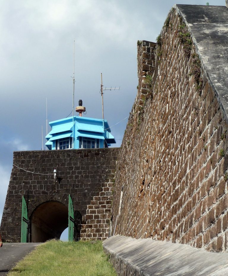
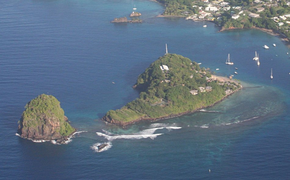
Fort Duvernette, also known as Rock Fort, is a British colonial fort in Saint Vincent and the Grenadines, built on an islet near Calliaqua to protect an anchorage important to the British sugar trade. The fort occupied a defensive position above the bay and was generally manned by British Marines, naval infantry used for shipboard combat, coastal operations, and the defence of British possessions.
Colonial Defence
By the late eighteenth century, a mainland battery at Arnos Vale supported Fort Duvernette. Together, the positions helped guard the anchorage and the coastal approaches connected with British commercial activity. A battery was a fortified artillery position, while the fort itself combined elevated gun positions with facilities for its garrison.
The Second Carib War
In September 1795, during the Second Carib War, an eighteenth-century conflict in Saint Vincent between British colonial forces and Indigenous Carib resistance, a 300-man convoy escort under Colonel Ritchie was attacked while carrying supplies from Kingstown to the British post at Vigie. The convoy was defeated, Ritchie was mortally wounded during the retreat, and about 60 soldiers were killed or captured.
Some survivors reached Fort Duvernette. Its commander, Major Henry Sharpe, used the fort’s artillery to cover their entry and give them time to reach safety. The convoy’s supplies were lost, but the fort provided protection during the retreat.
Later Use and Conservation
Fort Duvernette had ceased to serve a military purpose by 1878, when it was designated as a lazaretto, a quarantine facility for isolating people suspected of carrying contagious disease. The facility was administered by the Lieutenant Governor of Saint Vincent.
In 1971, the site was transferred to the St. Vincent and the Grenadines National Trust. Conservation and safety work undertaken in 2010 and 2011 repaired the landing jetty, improved the rock-cut steps, added protective netting, refurbished the artillery, and constructed gazebos.
Remains
Fort Duvernette occupies the summit and slopes of Duvernette Islet, a basalt volcanic plug rising about 190 feet, or 58 metres, above sea level off Young Island in the bay near Saint Vincent’s south coast. Its final arrangement consisted of two batteries, one on the summit and another about 40 feet, or 12 metres, lower on the slope. The lower position was divided between south-facing and west-facing gun positions.
Artillery Batteries
Summit Battery
The summit battery contains four cannons, a mortar, and the ruins of the officers’ quarters. The surviving cannons are 24-pounder long guns, while the mortar has an 8-inch, or 200-millimetre, calibre. A mortar is a short-barrelled weapon designed to fire explosive shells at a high angle. The artillery pieces are believed to be original, and their markings associate them with the reigns of George II and George III, successive British monarchs who ruled from 1727 to 1760 and from 1760 to 1820.
Lower Battery
The lower battery has two positions, one directed south and the other west. The west position contains a mortar, a water cistern, and a powder store, preserving elements of the fort’s artillery, water supply, and ammunition arrangements on the slope below the summit.
Rock-Cut Access and Natural Setting
A landing stage connects the island’s shore to 255 steps cut into the rock, providing access to the two batteries. The islet and its surrounding waters form a wildlife habitat. Scaly-naped pigeons, blue herons, and sea hawks use the site, while the surrounding sea contains Tripneustes ventricosus urchins and seagrass.