Fort Denison: A Colonial Harbour Fortress in Sydney, Australia
Site at a Glance
- Rating
- 4.5
- Popularity
- Very Low
- Country
- Australia
- Primary era
- Modern
- External website
- Open
- Eras represented
- Modern
- Civilizations
- British
- Site type
- Military
- Remains
- Fort
On this page11 sections
History
Fort Denison is a colonial sandstone fortress completed in 1857 on the former Pinchgut Island in Sydney Harbour, Australia. Built as a castellated military complex under British colonial rule, it was intended to strengthen the harbour’s defences and later became an important centre for navigation, tide measurement, conservation, and public interpretation.
Penal origins and the reshaping of the island
The rocky islet was known to its Aboriginal inhabitants by names rendered in English as Mattewanye or Muddawahnyuh. After the First Fleet arrived in 1788, settlers called it Rock Island, and it later became known as Pinchgut. Before the fortress was built, the island served as a penal place. In 1788, the convict Thomas Hill was held there for a week in irons on bread and water. In 1796, Francis Morgan was hanged and then gibbeted, a punishment in which an executed body was displayed publicly as a warning. His skeleton remained on the island for four years.
The original sandstone islet stood about 15 metres high or more. Convicts levelled it under the direction of Captain George Barney, and the quarried stone was used in nearby construction, including Circular Quay and the artificial headland at Bennelong Point. The fort and island eventually took the name Fort Denison after Sir William Thomas Denison, Governor of New South Wales from 1855 to 1861.
Defence construction
Concern about Sydney Harbour’s vulnerability increased after two American warships entered the harbour at night in 1839. George Barney had already reported that Sydney’s defences were inadequate, and he recommended a fort on Pinchgut to protect the harbour from foreign attack.
Fortification began in 1841 but was not completed. Construction resumed in 1855, when fears of a Russian naval attack arose during the Crimean War, the 1853–1856 conflict in which Britain and its allies fought Russia. The fortress was completed on 14 November 1857. Its defensive and correctional works were carried out in phases from 1840 through 1862 under designs associated with George Barney. Developments in artillery had already made much of the fortress obsolete by the time the work was finished, and it was decommissioned at approximately the beginning of the 1930s.
Guns, navigation, and wartime damage
A saluting gun was transferred from Dawes Point to Fort Denison in 1906. Firing a gun daily at 1 p.m. enabled sailors to set their chronometers, and the practice continued until the Second World War, when it was stopped because of fears that the report would alarm residents. It resumed in 1986.
In October 1900, Charles Lightoller and two companions climbed the tower, raised an improvised Boer flag, and fired a harmless wad of cotton waste from an 8-inch cannon. The prank was intended to suggest that a Boer raiding party was attacking Sydney. The blast broke several fort windows but caused no other damage. In 1913, a lighthouse beacon from Birmingham replaced the 10-inch gun on the tower roof. The beacon was restored in 2004 and remains part of the harbour navigation system.
During the Japanese midget-submarine attack on Sydney Harbour in May 1942, shells fired by the USS Chicago struck Fort Denison. The tower suffered minor damage that remains visible.
Tide measurement and conservation
Tide measurements began at the fort in 1857, after its completion. Successive instruments were installed from 1867 as tide-measuring technology developed, and Fort Denison tide heights and times became the primary reference for published tide information elsewhere in New South Wales.
The New South Wales National Parks and Wildlife Service has managed conservation and facility-upgrade work since 1992. Renovation under a conservation plan began in 1999 and was completed in 2001. The adaptive reuse and conservation received architectural and National Trust awards that year. Increased harbour traffic destroyed the slipway, while salt moving through the porous sandstone threatened the foundations, prompting a government rescue package announced in 2007.
Fort Denison is now part of Sydney Harbour National Park and is used as a reserve, museum, tourist facility, and function space. It was listed on the Register of the National Estate in 1978 and added to the New South Wales State Heritage Register on 2 April 1999.
Remains
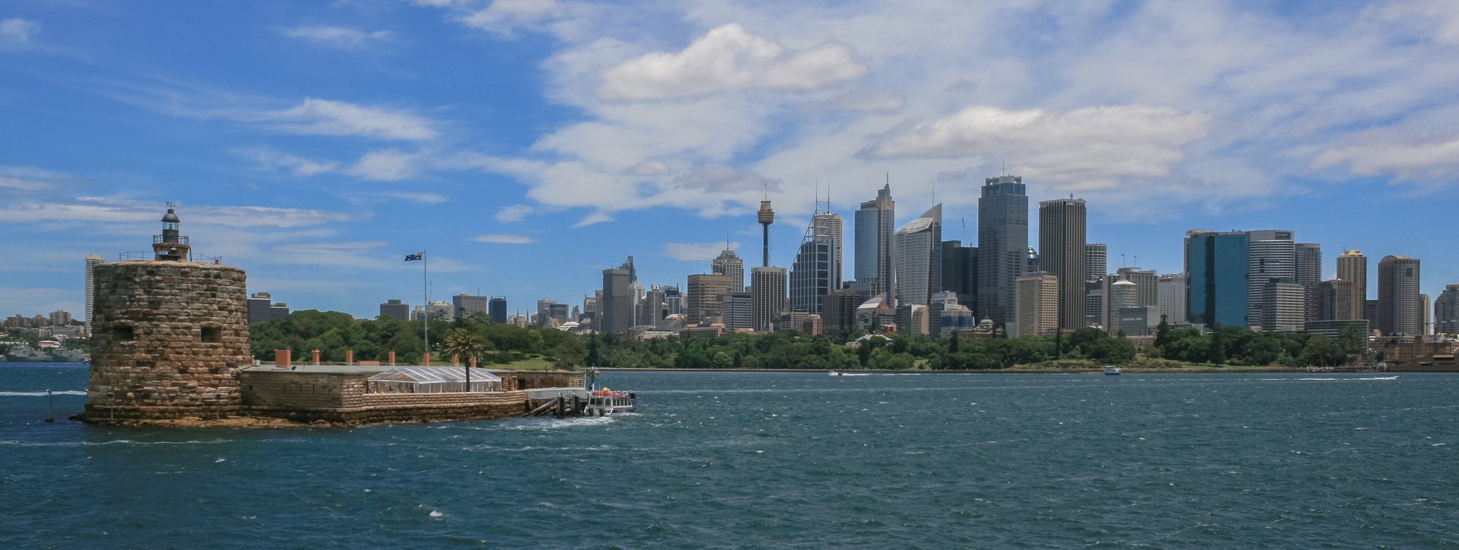
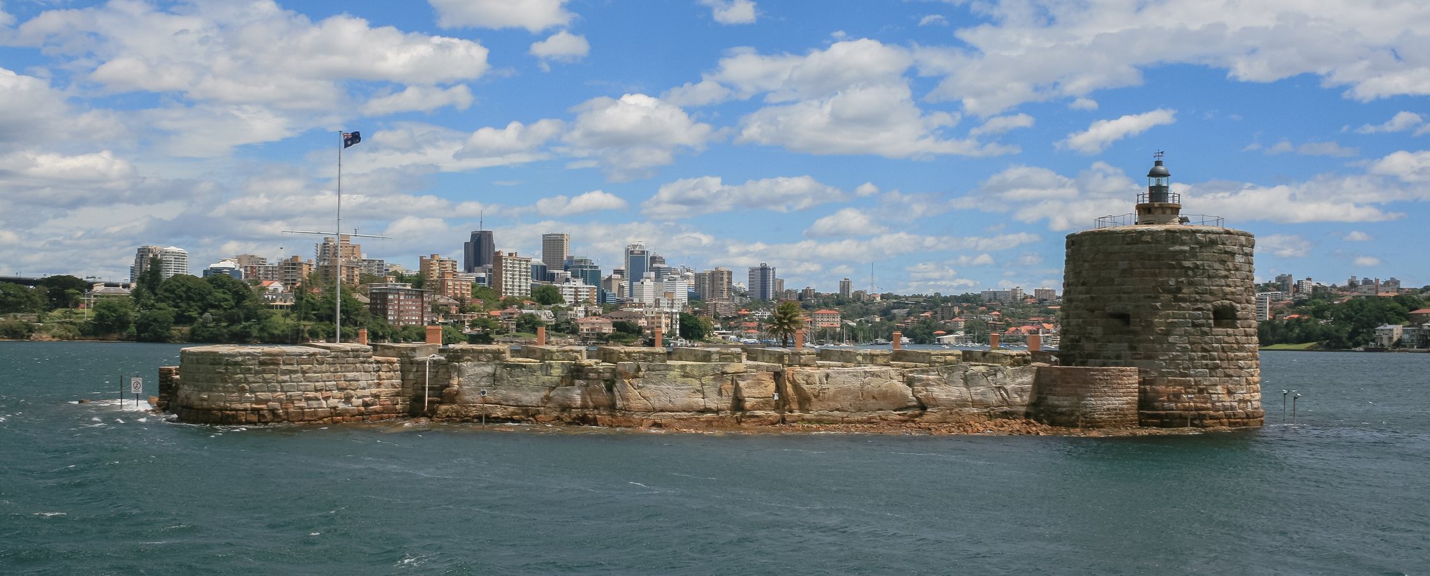
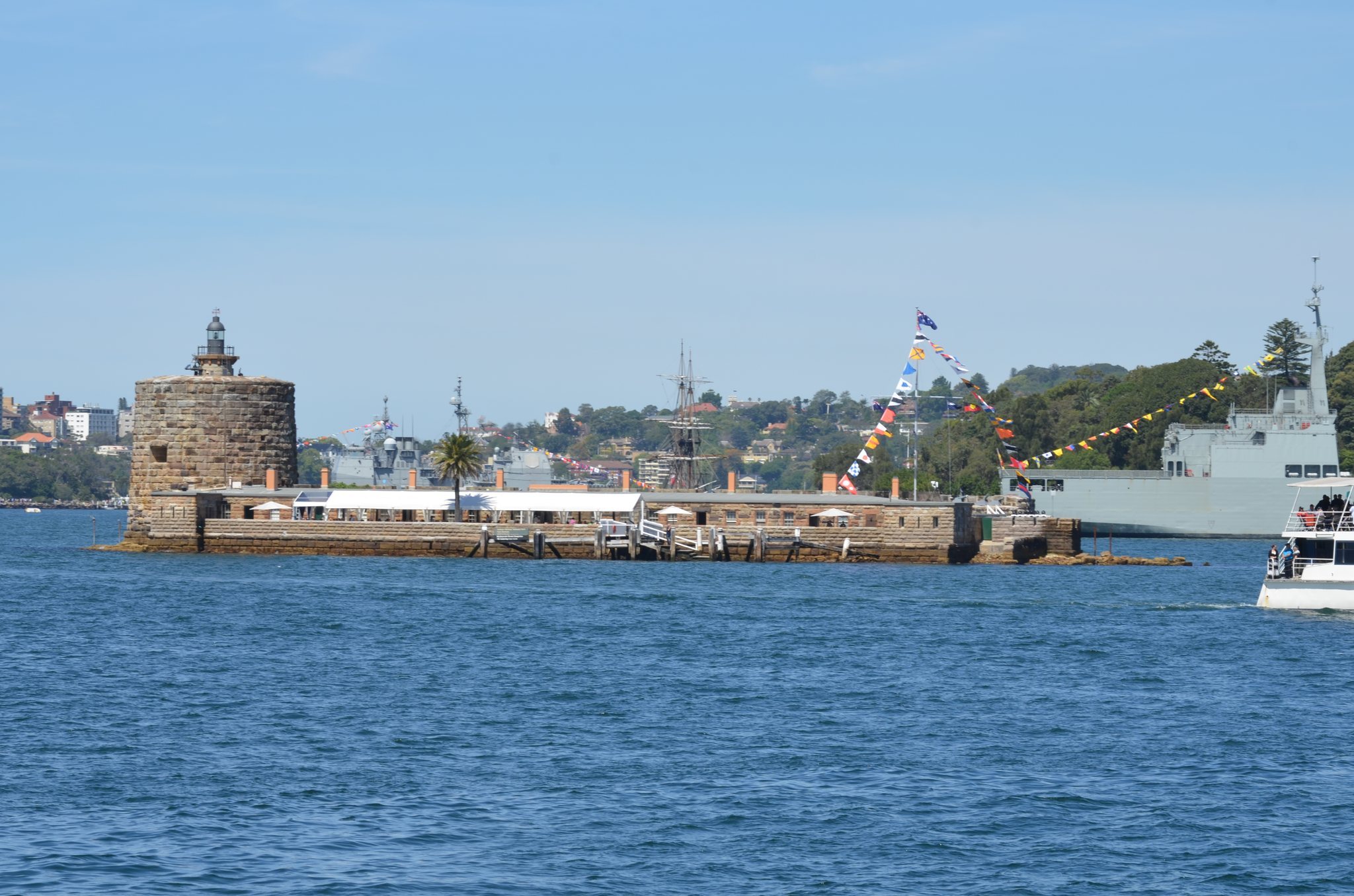
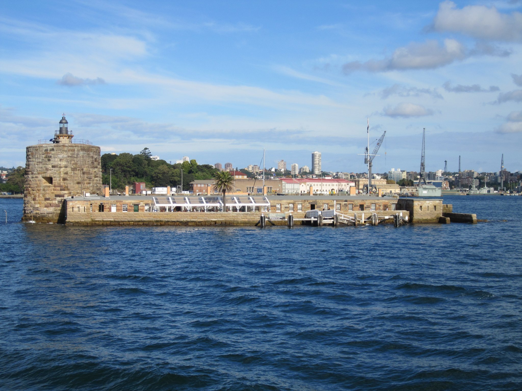
Fort Denison occupies the small former Pinchgut islet northeast of the Royal Botanic Garden and approximately 1 kilometre east of the Sydney Opera House. The original rocky island was levelled for construction, although sandstone bedrock remains visible below the southwest battery and scattered rocks at low tide provide limited evidence of its earlier form. The completed fort covers and visually dominates the former islet, which is now generally perceived as a built military artefact rather than as an island.
Fortifications and Martello tower
Sandstone batteries and barrack
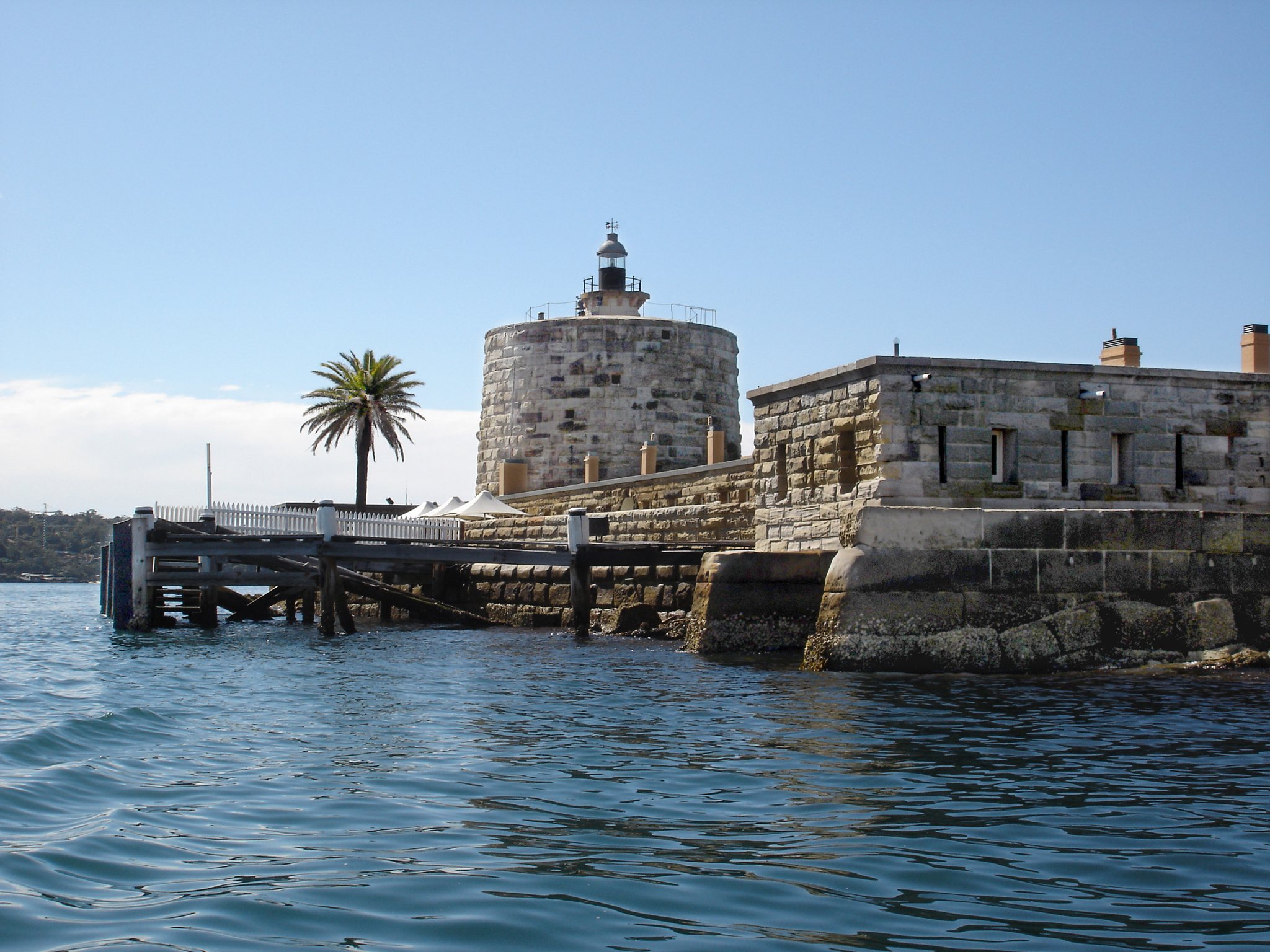
The fort is a colonial castellated military complex constructed chiefly from Sydney sandstone. Its recorded works include batteries, a barrack, a Martello tower, a bastion, a terrace, a west room, and a tide-gauge room. A battery was built in 1840–1842, while the battery, barrack, tower, and bastion were constructed in 1856–1858. The terrace, west room, and tide-gauge room followed in 1858–1862.
The original armament consisted of three 8-inch muzzle-loading cannons in the tower, two 10-inch guns, and twelve 32-pound cannons in a battery between the tower and the flanking bastion. One 10-inch gun was mounted on a 360-degree traverse on the tower roof, while the other stood in a bastion at the opposite end of the island. All the guns were eventually removed except for the three 8-inch muzzle-loading cannons in the tower’s gun room. Narrow internal passages prevented their removal. Their military usefulness was limited because the embrasures, openings in the fortification wall through which guns were fired, were too small, loading was slow, and recoil was excessive for the room.
Martello tower
Fort Denison’s Martello tower is a strongly built coastal artillery tower designed for defensive fire against vessels. It is the only tower of its type built in Australia and the last Martello tower constructed in the British Empire. Exactly 8,000 tonnes of sandstone from near Kurraba Point in Neutral Bay were used to build it.
The tower walls are approximately 3.3–6.7 metres thick at the base and about 2.7 metres thick at the top. The interior contained quarters for a garrison of 24 soldiers and one officer. Fort Denison Light occupies the roof, where the original lantern was removed for restoration in October 2003 and returned in May 2004.
Navigation and tide-measuring installations
The site retains several harbour-navigation installations established in the mid-nineteenth century, including the lighthouse beacon, tide gauge, navigation-channel markers, and foghorn. The Bureau of Meteorology operates a weather facility on the island.
The historic tide-gauge system includes float-activated instruments, a cabinet, a stilling well, and a wire-and-pulley mechanism connected to a float. Although obsolete, the system is maintained as a museum exhibit beside the active modern system, preserving the equipment that helped establish reference tide heights and times for New South Wales.
Later alterations and physical condition
A slipway constructed in 1917 was destroyed by increased harbour traffic. Salt has penetrated the porous sandstone down to the fort’s foundations, creating a conservation challenge. An assessment made on 26 May 2014 found the fort in excellent physical condition and identified high archaeological potential. Published comparisons with similar towers suggested that Fort Denison might be the most intact tower of its type.