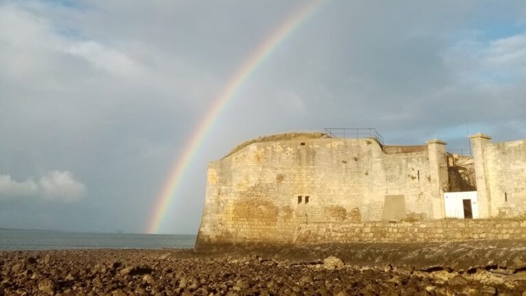
Fort de La Prée: A Coastal Fortress on Île de Ré


Site at a Glance
- Rating
- 4.3
- Popularity
- Medium
- Country
- France
- Primary era
- Early Modern
- External website
- Open
- Eras represented
- Early Modern, Modern
- Civilizations
- French, German
- Site type
- Military
- Remains
- Fort
On this page8 sections
History
Fort de La Prée is a coastal fortress in France, situated in La Flotte on the northern coast of Île de Ré. French engineers began building it in the mid-1620s on the orders of Jean de Saint-Bonnet de Toiras, marshal of France and governor of the island. The engineers Pierre de Conty d’Argencour and Le Camus designed the fort as part of the island’s coastal defences.
The fortress and the 1627 campaign
Fort de La Prée’s only recorded major military success came in October 1627, during an English expedition led by the Duke of Buckingham. After Buckingham’s forces landed on Île de Ré, they passed by the fort. This allowed a French relief force commanded by Marshal Henri de Schomberg to land there at night. Schomberg brought 800 men of the French Guards Regiment and other royal troops, who attacked the English from the rear and drove them from the island.
Expansion and reduction under Louis XIV
By 1658, the island’s governor considered the fort too small for its intended garrison of 400 men. Its lack of a dependable supply of drinking water also made it particularly vulnerable. Jean-Baptiste Colbert, chief minister of Louis XIV, ordered modifications in 1664, and an additional enceinte, or continuous defensive enclosure, was constructed in 1672.
Once the larger fortifications at Saint-Martin-de-Ré had been completed, Fort de La Prée was regarded as one of the island’s less useful defensive positions. In 1684, Vauban, the principal military engineer of Louis XIV’s monarchy, ordered the demolition of the outer landward fortifications. The original four-bastion core remained, together with the covered way, harbour, seaward rampart, and glacis. A covered way was a protected passage outside the main fortifications, while a glacis was a gently sloping area intended to expose attackers to defensive fire.
Later military and wartime use
After a long period of abandonment, the fort was rearmed or returned to military use in 1793. It was modified or reactivated again in 1875 and finally decommissioned in 1934.
During the Second World War, the occupying German army incorporated Fort de La Prée into the Atlantic Wall, the German system of coastal defences built along the western European coast. In 1942, German forces added an observation blockhouse and a telecommunications blockhouse, and the position was redesignated Battery Berta, a German coastal artillery position.
Preservation and changing ownership
From the 1950s to the 1980s, Fort de La Prée served as a holiday centre for children aged six to ten from the Eure department. It was owned by the Conseil Général de l’Eure, which also operated other properties on the island.
After an enceinte wall collapsed, ownership passed to the Comité national des œuvres sociales de l’administration pénitentiaire, a French social-welfare organization associated with the prison administration. The committee arranged repairs by prison inmates between 1981 and 1987. Volunteer heritage-conservation teams carried out further restoration work through 2011. The entire fort, including its advanced works, was designated a French historic monument by an order dated 21 May 2008.
Remains
Star fort, outer works, and harbour
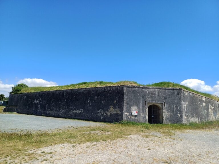
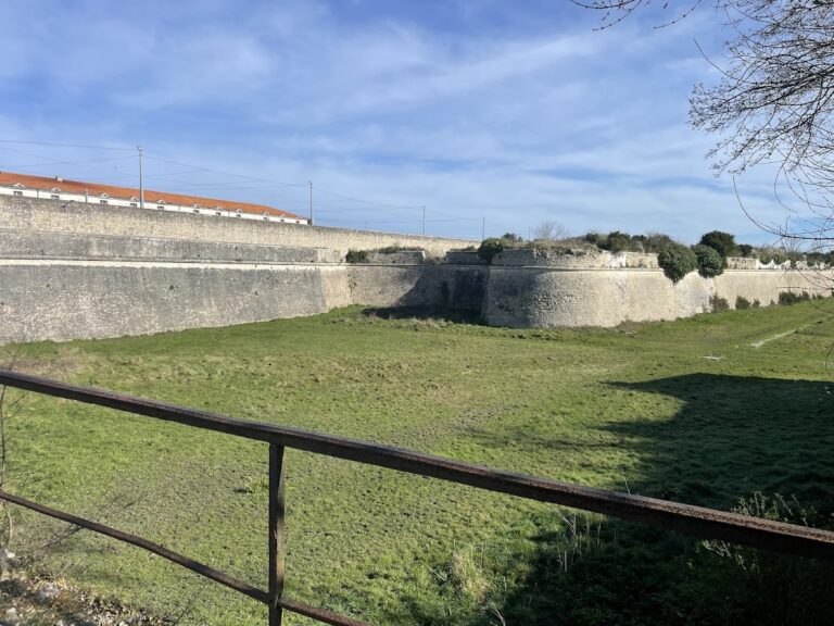
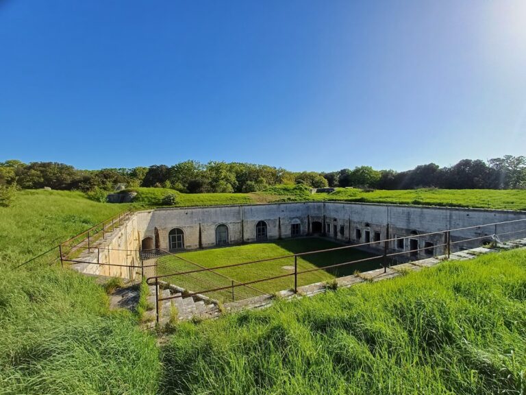
Fort de La Prée retains a four-pointed star plan, with one bastion at each corner. Two bastions face the sea, and inward-curving semicircular curtain walls, known as cul-de-chaudron, connect them. The original fortification was later supplemented by an outer enceinte and a covered way. On the landward side, the surviving glacis and covered way are the principal elements associated with Vauban’s reduction of the outer works.
The ditches are flooded only at high tide. A small sheltered harbour forms part of the fort and opens to the east. It lies immediately in front of the ravelin at the entrance, a detached wedge-shaped outwork designed to protect the approach, and can be used only at high tide. The entrance originally had a drawbridge and a neck ditch, both of which have disappeared.
Buildings, ramparts, and materials
The interior contains accommodation and service buildings, a chapel, several carriage sheds, storage buildings, and two powder magazines positioned on the bastions. The ramparts consist of massive earth embankments faced with masonry. Artillery was mounted openly on these ramparts, rather than inside casemates, which are fortified chambers designed to protect guns or troops through firing openings.
Some of the fort’s masonry came from stone salvaged from the ruins of the nearby Notre-Dame de Sainte-Marie-des-Châtelier abbey, also known as Notre-Dame-de-Ré. Additional stone was transported by boat from the quarries at Crazannes. The observation and telecommunications blockhouses installed in 1942 remain later additions to the fort’s historic fabric.