Fort Clatsop: The Lewis and Clark Expedition’s Winter Camp
Site at a Glance
- Popularity
- Very High
- Country
- United States
- Primary era
- Modern
- Eras represented
- Modern
- Civilizations
- Unclassified
- Site type
- Military
- Remains
- Camp
On this page8 sections
History
Planning and winter at the Pacific
Fort Clatsop was the winter encampment built by the Lewis and Clark Expedition in 1805 near Astoria in the United States. It became the party’s final camp before its return east. After the 1803 Louisiana Purchase, President Thomas Jefferson commissioned U.S. Army officers Meriwether Lewis and William Clark to explore western territory, record its resources, build relations with Indigenous peoples, and seek a water route to the Pacific. Their 44-member expedition left St. Louis in May 1804, spent the winter at Fort Mandan in what is now North Dakota, and reached the Pacific coast on November 7, 1805.
In late November, following advice from Clatsop people, the expedition considered moving south of the Columbia River for the winter. Members voted on the proposal, including Sacagawea, an Indigenous guide and interpreter, and York, an enslaved African American member of the party. Lewis scouted with five men and chose the site; the expedition arrived in early December. Construction began soon after and lasted just over three weeks. Members started moving into unfinished buildings on December 23, before the dwelling had a roof, and all had moved in by Christmas Eve. On December 25, they named the camp for the local Clatsop people.
The expedition hoped to meet many coastal leaders but did not achieve that aim. Attempts to build good relations with the Chinook, an Indigenous people of the lower Columbia River region, were unsuccessful. High prices meant the party traded mainly with Clatsop people living nearby. They exchanged goods, services, and information with the expedition, and trading took place at the camp on 24 days that winter. Lewis and Clark came to distrust the Clatsop and regarded them as prone to theft.
During the rainy winter of 1805–1806, expedition members hunted deer and elk. The meat spoiled quickly, while the hides provided material for clothing and moccasins. Lewis spent much of his time recording wildlife and terrain and making maps. Respiratory problems and venereal disease affected members of the party. Boredom, restlessness, and a desire to recover from illness also contributed to their wish to leave.
Departure and later changes
The expedition moved its intended departure from April 1 to March 20, but poor weather kept the party at the camp until March 23, 1806. It needed at least two canoes to travel back up the Columbia. The Clatsop provided one by agreement, while the expedition took another without consent. Lewis did not send a copy of his notes by sea, a customary practice, because the party was small. Instead, Lewis and Clark divided the expedition among different return routes to cover more territory. Before leaving, Lewis gave the fort to Clatsop leader Coboway. The party also left a list of its members and supplies, as well as a map of its planned return route.
The Clatsop used the fort as a base for security and other purposes, taking some of its timber for reuse. The surrounding area later became an important Pacific Northwest fur-trading center, and the American Fur Company and Hudson’s Bay Company established regional headquarters. Heavy rainfall had caused the original fort to decay by the mid-nineteenth century.
A fire destroyed the standing reconstruction on October 3, 2005. It began in an enlisted men’s quarters where an open-hearth fire had burned earlier that day. Investigators found no evidence of arson. Firefighters were delayed by about 15 minutes after the fire was mistaken for fog over the nearby river, a delay that may have affected how much of the structure could be saved. A replacement was built in 2006, and the fire renewed archaeological interest because excavation had not been possible while the earlier replica stood. The site is now part of Lewis and Clark National Historical Park, operated by the National Park Service. Until 2004, it was known as Fort Clatsop National Memorial.
Remains
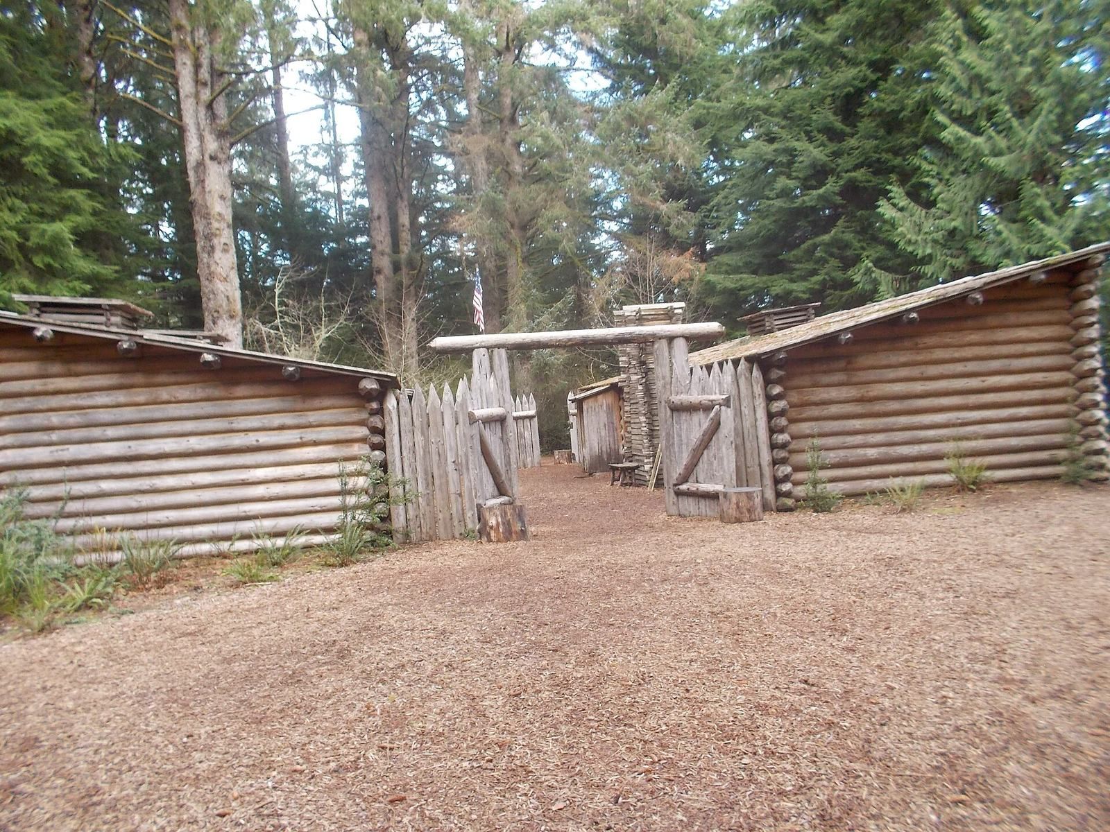
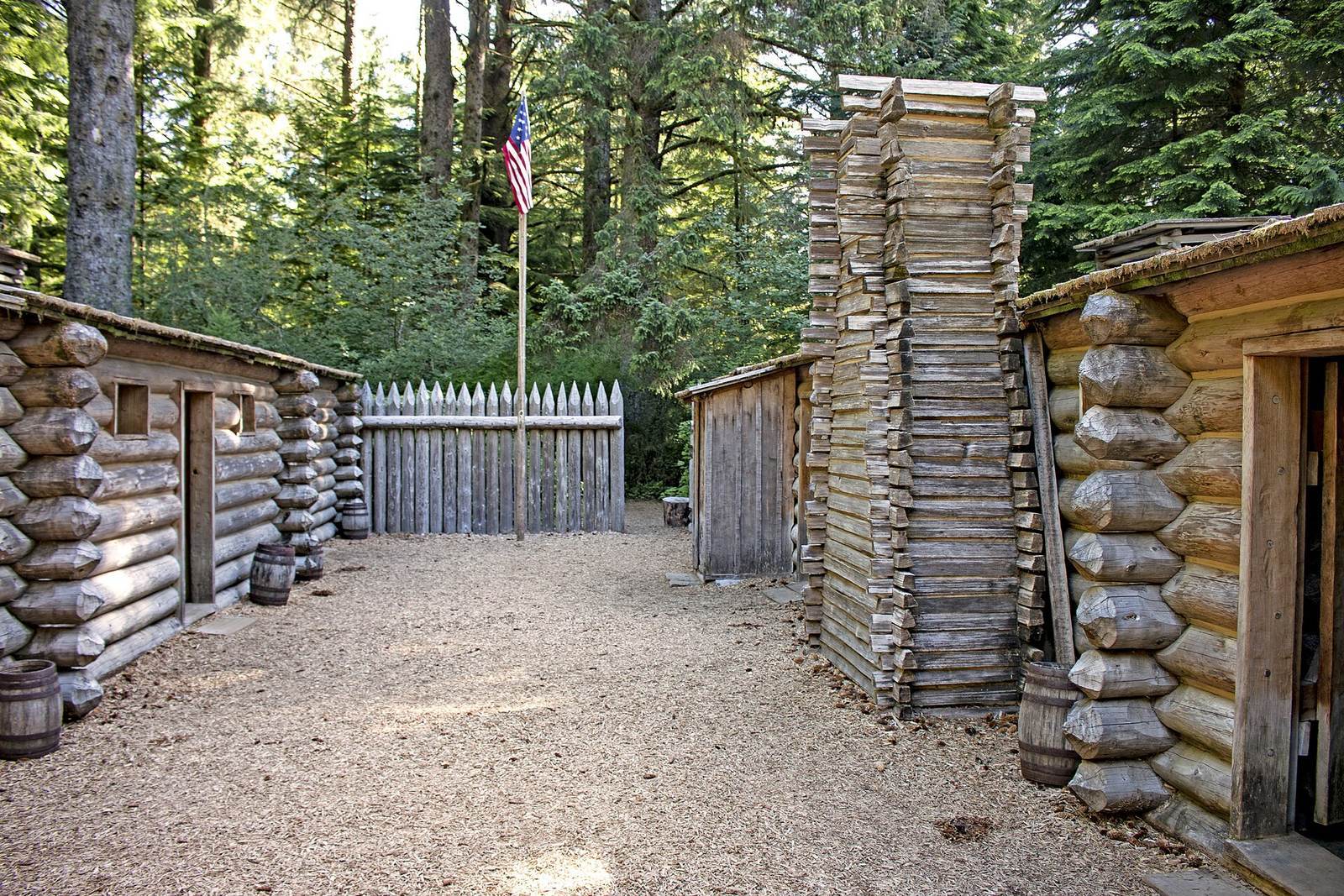
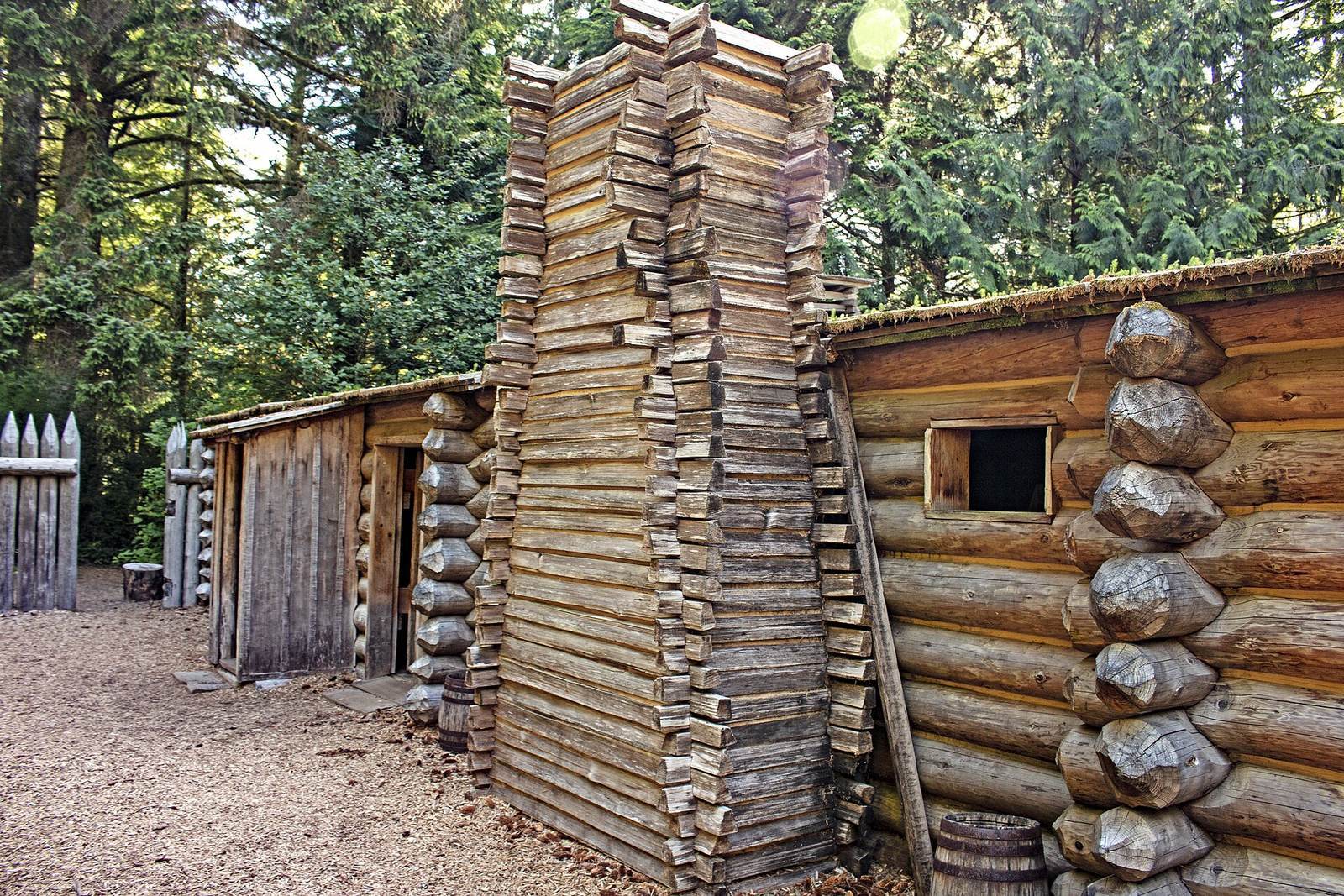
The site lies beside the Lewis and Clark River, at the northern end of the Clatsop Plains and about five miles southwest of Astoria. The original fort consisted of two timber buildings within a wooden enclosure. The enclosure was not intended as a defensive work.
Original layout
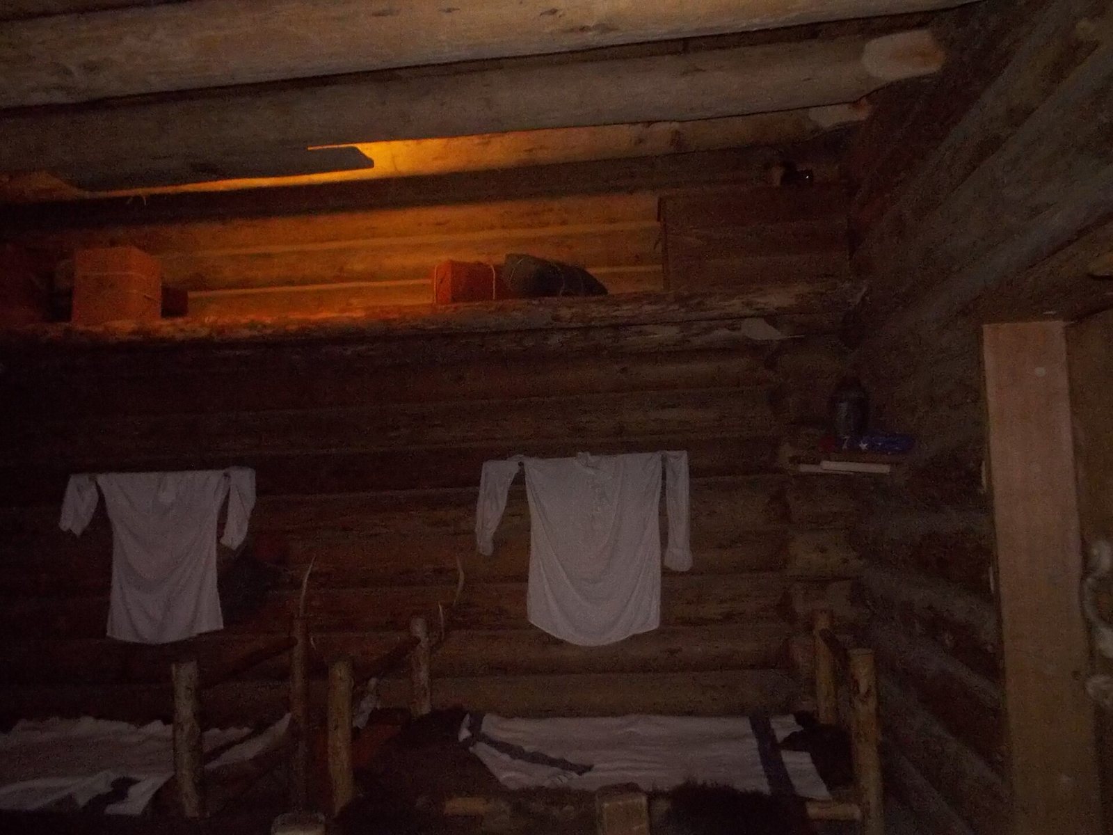
The two buildings contained seven rooms. Expedition members shared three, Lewis and Clark occupied another, and Sacagawea and her husband, Toussaint Charbonneau, used a separate room. Their son Jean Baptiste was housed in the same building. The remaining rooms served as a smoking room and a guardroom. Expedition members felled trees for the construction. Their journals do not establish a definitive plan: sketches by Sergeant John Ordway and William Clark differ, with Clark’s generally considered more authoritative because he oversaw construction.
Reconstructed buildings
First reconstruction
The first replica was built for Fort Clatsop’s 150th anniversary, using sketches in Clark’s journals, and took 18 months to complete.
Replacement reconstruction
About 700 volunteers built the replacement using information about the original that had not been available for the earlier replica. Its finish is rougher and more rustic, intended to provide a more realistic impression of the first fort, and it includes a fire-detection system. The replica stands near the original site but not on its exact location.