Fort Charlotte: A French Colonial Fort in Mobile, Alabama
Site at a Glance
- Rating
- 4.4
- Popularity
- Low
- Country
- United States
- Primary era
- Early Modern
- External website
- Open
- Eras represented
- Early Modern
- Civilizations
- French
- Site type
- Military
- Remains
- Fort
On this page9 sections
History
Fort Charlotte is a partially reconstructed French colonial fort at 150 South Royal Street in Mobile, Alabama, United States. Its permanent masonry construction began in 1723 as Fort Condé de la Mobile, a seven-pointed star fort built to defend the strategic port and the river routes linking the Mississippi River with the Atlantic colonies.
French foundation and colonial capital
Mobile was founded in 1702 by Jean-Baptiste Le Moyne de Bienville, a French colonial administrator who played a major role in the development of French Louisiana. The first settlement, called Fort Louis de la Louisiane, stood at 27-Mile Bluff upriver from the present city. Flooding damaged the fort, and repeated floods, including a final one in 1711, led to the relocation of the colony to the present site on Mobile Bay.
A larger wooden stockade was begun at the new location in 1711. It initially retained the name Fort Louis de la Mobile. Between 1720 and 1723, the fort stood at the center of a geometrically planned town of 12 regular blocks. Along with Biloxi, it served as the capital of French Louisiana before New Orleans assumed that role.
In 1719, the fort was a French base for the expedition against the Spanish fort at Pensacola. French forces captured Pensacola with the assistance of Indigenous allies. Permanent construction at Mobile began in 1723, using stone and brick. The new fort was named Fort Condé de la Mobile for Louis Henri de Bourbon, Prince of Condé, who headed the Regency and later became first minister to Louis XV, king of France.
Imperial transitions and military use
Fort Condé defended Mobile and its inhabitants for almost a century, from 1723 to 1820. Its position protected the port and access to the interior through the Alabama and Tombigbee river systems, while guarding against possible British and Spanish attacks. The fort and the settlement became associated with the French and Indian War, the North American conflict between Britain and France and their allies from 1754 to 1763, as well as the American Revolutionary War, the War of 1812, the capture of Pensacola in 1719, and the Battle of Fort Charlotte.
After the Treaty of Paris in 1763, Britain took possession of Mobile and renamed the fort Fort Charlotte for Queen Charlotte, the wife of King George III. Spain controlled the region from 1780 to 1813 and called the fort Fuerte Carlota. United States troops occupied Mobile in 1813 and restored the name Fort Charlotte.
Demolition and reconstruction
By 1820, the fort was no longer needed for defense. The United States Congress authorized the sale and removal of the fort and its surrounding buildings. City funds later paid for demolition to make way for new streets. By late 1823, most above-ground traces had disappeared, although underground structures remained.
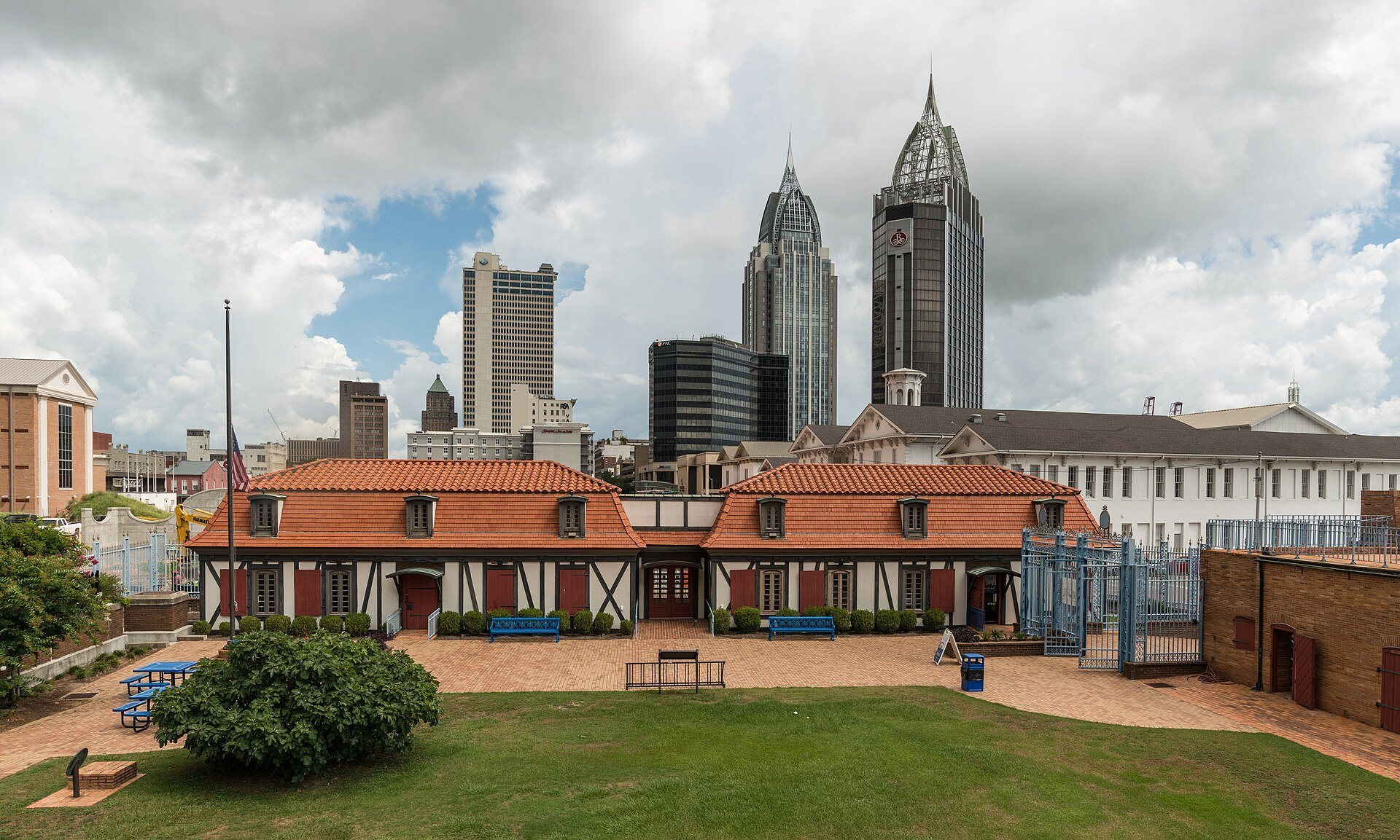
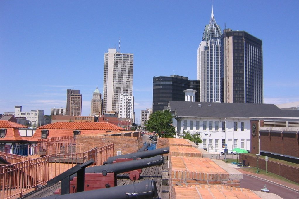
A reduced reconstruction opened on July 4, 1976, during Mobile’s United States Bicentennial celebrations. Representing approximately one-third of the original fort at four-fifths scale, it functions as a historical museum and is also known as Fort Condé. The property is listed on the National Register of Historic Places, the United States’ official federal list of significant historic properties, under the name Fort Conde-Charlotte. The designation was made on May 21, 1969.
Remains
Original fort and defensive plan
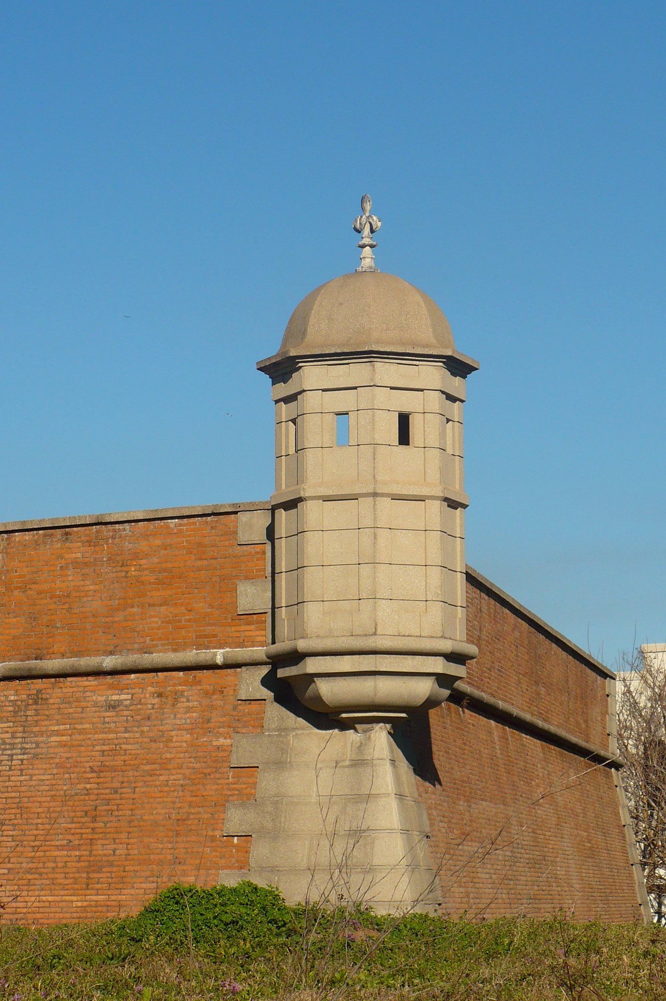
The original compound and its surrounding buildings covered approximately 11 acres, or about 4.5 hectares. The 1723 fort had a seven-pointed star plan, with guard towers at the projecting points and substantial earthworks around the masonry defenses. This arrangement allowed overlapping lines of fire across the approaches. The design was compared with the Spanish Castillo de San Marcos in St. Augustine, Florida.
Construction used local brick and stone, together with earthen walls and cedar wood. Twenty enslaved Black laborers and five white workmen carried out the original construction. Some buildings inside the compound had French mansard roofs, whose lower, steeper slopes could contain dormer windows. They also had tall chimneys at their ends and were longer than the buildings represented in the reconstruction.
Setting and surviving reconstruction
The settlement was aligned parallel to the Mobile River rather than on a north-south axis. From an elevated bluff along Royal Street, the fort therefore faced somewhat northeast above marshland sloping toward the river. The present reconstruction stands approximately 250 meters inland from the river’s right bank and about 3 kilometers from its mouth. Adrien de Pauger’s 1725 map records the fort, the Mobile River, and the surrounding setting, while also providing a plan and profile of the original compound. De Pauger later designed the Vieux Carré, the historic French Quarter of New Orleans.
Fort Condé reconstruction
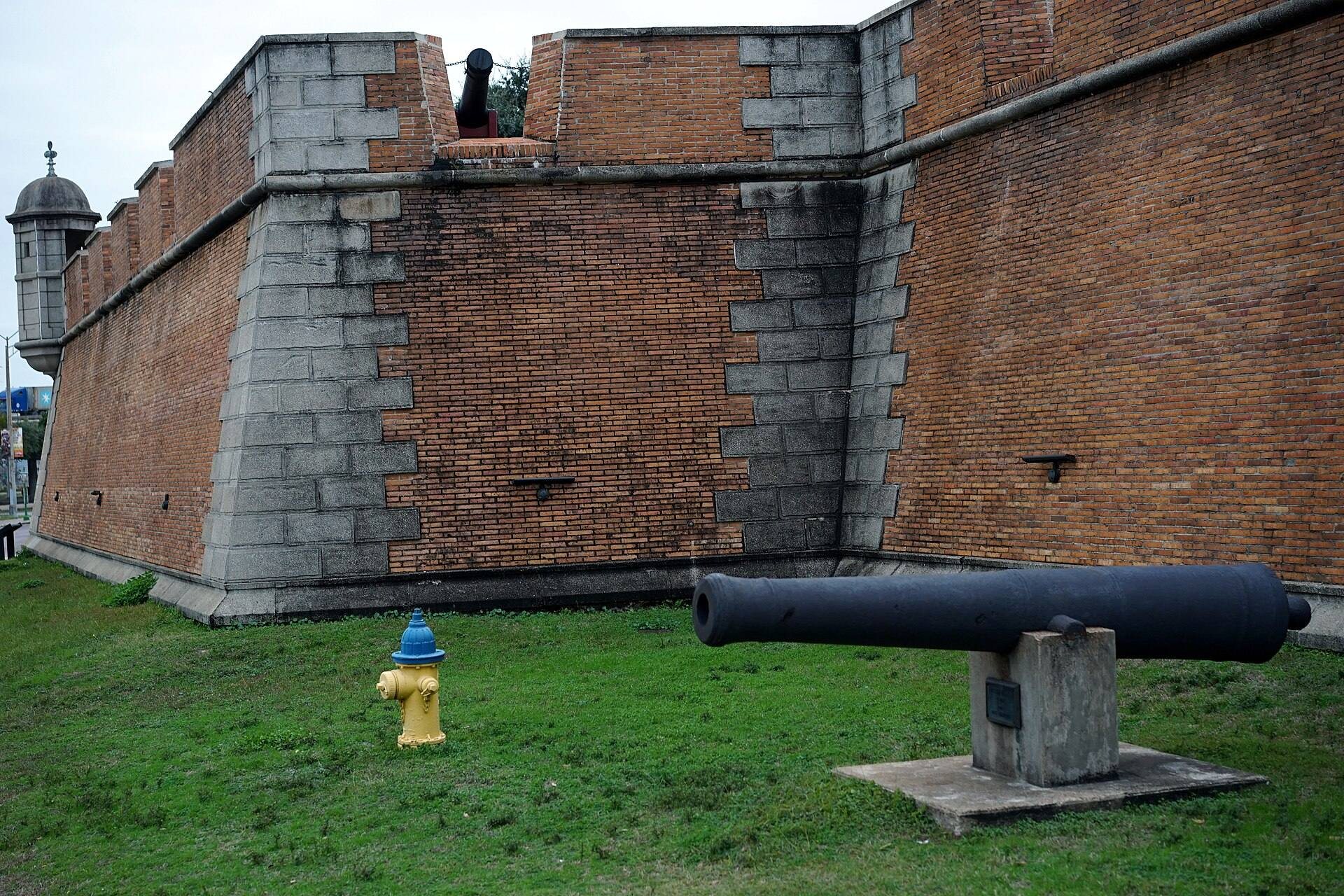
The present Fort Condé is a four-fifths-scale reconstruction representing about one-third of the former fortress. It is built primarily of brick and survives as a partially reconstructed historical and archaeological site rather than as the complete original fort. The reconstructed buildings do not reproduce the tall chimneys found on the original structures.
Fort Condé Village
The Fort Condé Village neighborhood was built within the southern bastions of the original fort during the 1820s and 1830s. It includes the Conde–Charlotte House historical museum, linking the later neighborhood to the footprint of the demolished fort.