Fort Beauséjour: A French Fortress in Acadia
Site at a Glance
- Rating
- 4.7
- Popularity
- Low
- Country
- Canada
- Primary era
- Early Modern
- External website
- Open
- Eras represented
- Early Modern
- Civilizations
- French
- Site type
- Military
- Remains
- Fort
On this page15 sections
History
Fort Beauséjour is a French-built fortress in Canada, located at Aulac on the Isthmus of Chignecto. Constructed from 1751 to 1752, it guarded the contested boundary between French Acadia and British Nova Scotia and became a major site in the conflicts between France and Britain in northeastern North America.
A contested frontier
The Isthmus of Chignecto was a narrow connection between the lands that are now New Brunswick and Nova Scotia. After the 1713 Treaty of Utrecht, the Missaguash River served as the practical boundary between the two colonial spheres, although the treaty did not clearly settle sovereignty in the area. French and British authorities therefore treated the region as strategically important.
In 1749 and 1750, Louis de la Corne established pickets at the future fort site. France then responded to the British construction of Fort Lawrence on the south bank of the Missaguash River by building Fort Beauséjour on the north bank. The French also strengthened their wider position through Fort Gaspareaux and the reoccupation of Fort Nerepis. These installations formed part of an effort to check British expansion and protect the French-controlled parts of Acadia.
French construction and command
Construction began in April 1751 under Lieutenant Gaspard-Joseph Chaussegros de Léry, following orders from Governor General Jacques-Pierre de Taffanel de La Jonquière. Work progressed slowly, and the fortress remained unfinished. The gunpowder magazine, a well, four casemates, and officers’ quarters were completed by 1751, while barracks were added the following year.
The fort passed through several French commands. Pierre-Roch de Saint-Ours d’Eschallions served from 1750 to 1751, followed by Jean-Baptiste Mutigny de Vassan from 1751 to 1753 and Claude-Antoine de Bermen de La Martinière from 1753 to 1754. Louis Du Pont Duchambon de Vergor commanded from 1754 until the fort surrendered. The garrison included about 150 soldiers of the Compagnies franches de la Marine, French colonial troops responsible for defending and administering France’s North American colonies, along with twelve artillerymen.
Capture during the Seven Years’ War
In June 1755, during the Seven Years’ War, a global conflict fought from 1756 to 1763 that included the struggle between France and Britain in North America, British forces under Lieutenant-Colonel Robert Monckton attacked Fort Beauséjour. After about two weeks of resistance, the outnumbered French garrison capitulated on June 16. A British bomb penetrated the roof of a casemate, a protected chamber used for troops or military stores, and killed many of those inside. The incident contributed to the surrender.
Thomas Pichon, a clerk at the fort, had provided the British with information about French activities, the fortification plans, and the measures required to capture the position. His advice also delayed French preparations by encouraging the belief that the British would not attack during that year. After the victory, the British renamed the fort Fort Cumberland, and its capture settled the regional boundary dispute in Britain’s favor.
Vergor was summoned before a court martial at Quebec in September 1757 after the loss of the fort, but he was acquitted. The French minister of Marine had considered the fortress very poorly defended.
Acadian displacement and resistance
After the British occupation, Acadians, French-speaking settlers and their descendants in the Maritime region, were ordered to swear allegiance to the British Crown. Their refusal, together with claims that some had been forced to help defend the fort, was used to justify the Expulsion of the Acadians. British authorities burned Acadian homes to prevent their return, while Fort Cumberland became a place where Acadians were imprisoned or temporarily held during the nine-year expulsion.
Acadian and Mi’kmaq resistance directly affected the fort between 1756 and 1761. Partisans ambushed soldiers cutting wood near the fort in 1756 and raided the position in April 1757. Two of Gorham’s rangers were captured outside the fort in 1757, and a schooner was attacked there in March 1758. A patrol was ambushed near a bridge during the winter of 1759. In October 1761, Roderick McKenzie led an operation from the fort that captured 335 of the 787 Acadians targeted in the Bay of Chaleurs.
Later British military use
In 1776, during the American Revolutionary War, the Royal Fencible American Regiment, a British provincial regiment raised in North America, repelled several attacks on Fort Cumberland by local guerrillas led by the American sympathizer Jonathan Eddy.
The British abandoned the fort in the late 1780s after the American Revolutionary War. When tensions with the United States resumed during the War of 1812, British forces refurbished and regarrisoned it, although no action took place there. The British military declared the fort surplus property and abandoned it in 1835.
Preservation and interpretation
Fort Beauséjour was designated a National Historic Site of Canada in 1920 as the Fort Beauséjour–Fort Cumberland National Historic Site. The designation recognizes its importance to French and British history and to the conflicts of the Seven Years’ War and the American Revolution. Parks Canada has controlled the site since 1926. Portions of the fort have been restored, and a museum and visitor facilities interpret the eighteenth-century conflicts between France and Great Britain, as well as the later struggle between the Thirteen Colonies’ rebels and Britain.
Remains
Fortifications and setting
Strategic position
The fort stands immediately north of the Missaguash River at Aulac, New Brunswick, on the Isthmus of Chignecto. The river forms the boundary between New Brunswick and Nova Scotia. The position occupies the narrow land connection between the two provinces and lies near the head of the Bay of Fundy, giving the fortress a strategic setting within the regional French and British defensive systems.
Pentagonal defenses
Fort Beauséjour was a large pentagonal fortress with five bastions. A bastion is a projecting section of a fortified enclosure that allows defenders to fire along the adjoining walls. The defenses combined earthworks with pickets, including a palisade and an earthwork approximately five metres high. The substantial earthworks were considered stronger than those of nearby Fort Lawrence, although the fortress was never fully completed.
Interior structures
Casemates and magazine
By 1751, the fort contained a gunpowder magazine, a well, four casemates, and officers’ quarters. Casemates were fortified, usually vaulted chambers that protected troops, ammunition, or artillery. One casemate became the scene of the fatal bombardment on June 16, 1755, when a British bomb penetrated its roof.
Barracks and officers’ quarters
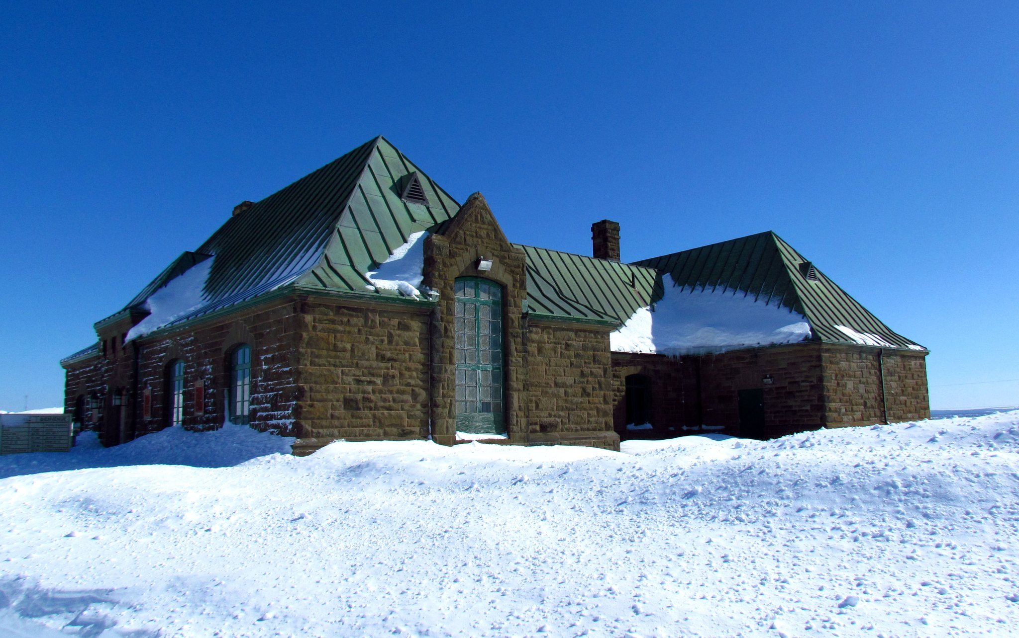
Barracks were added in 1752, joining the officers’ quarters within the developing fortress. These buildings formed part of the interior military accommodation behind the earthworks and palisade. Restored portions of the fort, together with the museum and visitor facilities, now make the surviving site an interpreted historic landscape.
Regional defensive network
Fort Beauséjour belonged to a wider French defensive system that included Fort Gaspareaux and the reoccupied Fort Nerepis. These associated positions supported France’s attempt to protect Acadia and limit British movement across the Isthmus of Chignecto. The surviving fort’s earthworks and restored sections are therefore understood within a regional network rather than as an isolated military work.