Fort Gaspareaux: A French Way Station and Fortification in Canada
Site at a Glance
- Rating
- 3.8
- Popularity
- Very Low
- Country
- Canada
- Primary era
- Early Modern
- External website
- Open
- Eras represented
- Early Modern, Modern
- Civilizations
- French
- Site type
- Military
- Remains
- Fort
On this page9 sections
History
Fort Gaspareaux was a French fort in Canada, built in 1751 during Father Le Loutre’s War, an eighteenth-century conflict in Acadia involving British expansion and resistance by French forces, Acadians, and Mi’kmaq communities. Ordered by the Marquis de la Jonquière, governor general of New France, it guarded the Isthmus of Chignecto, the narrow land connection between the Nova Scotia peninsula and the mainland. The fort served mainly as a way station and fortified warehouse on the route linking Louisbourg, Quebec, and Fort Beauséjour.
French construction and strategic use
Fort Gaspareaux formed one of three French fortifications built along this route within roughly 18 months. The other two were Fort Beauséjour at Chignecto and Fort Menagoueche at the mouth of the Saint John River. Communication with Fort Beauséjour first followed an older portage across the isthmus. A road between the forts was constructed in 1754, while seasonal sea routes connected Gaspareaux with Quebec, Louisbourg, and France.
The fort maintained only a small garrison. By 1753, no more than 12 or 14 soldiers were stationed there at a time, reflecting its role as a supply point rather than a large permanent military complex.
British capture and abandonment
After British forces captured Fort Beauséjour in 1755, 300 troops under Colonel John Winslow took Fort Gaspareaux. Captain Benjamin Rouer de Villeray commanded the fort at the time. A commemorative inscription states that he surrendered with 19 soldiers. The British renamed the post Fort Monckton and installed an English garrison.
In spring 1756, Mi’kmaw militia ambushed a party gathering wood for the British garrison and killed nine men. The British abandoned the fort later that year. The commemorative inscription gives September 1756 as the date when they burned it, citing its poor condition and lack of strategic importance.
Commemoration
Fort Gaspareaux was designated a National Historic Site of Canada in 1920. During the 1930s, the National Historic Sites and Monuments Board placed a stone cairn at the site to commemorate the fort and its role in the struggle for control of the Isthmus of Chignecto.
Remains
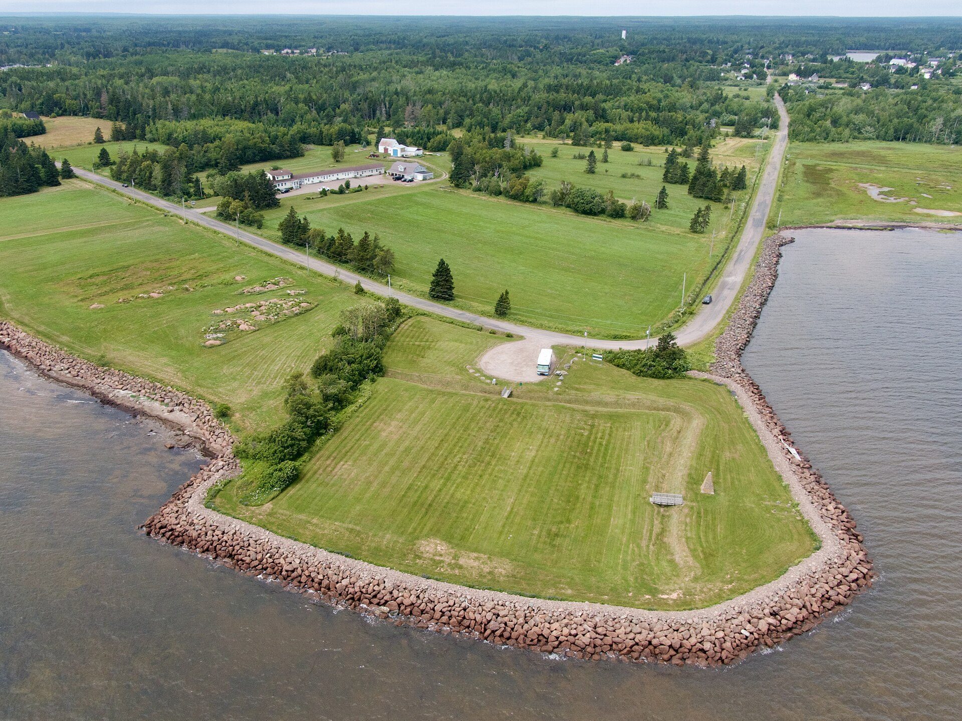
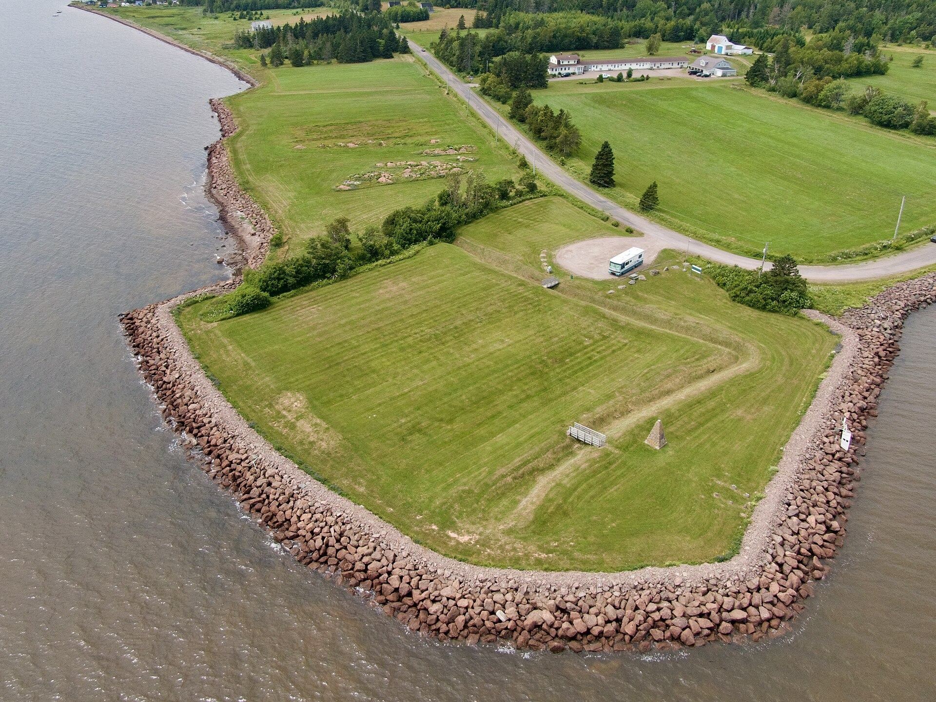
Fort Gaspareaux stood at the head of Baie Verte near the mouth of the Gaspareaux River, southeast of modern Port Elgin on the Isthmus of Chignecto. The site now overlooks the Northumberland Strait. Its surviving layout is represented by a ditched enclosure, while the former palisaded grounds occupied the inner side of the ditch.
Fortification and enclosure
The original fort was a square palisaded earthwork measuring about 180 feet, or 60 metres, on each side. A ditch surrounded the enclosure, and a blockhouse, a fortified building providing protected firing positions, stood at each corner. Small-bore cannon equipped the blockhouses. The arrangement reflects the fort’s practical purpose as a defended warehouse and supply station rather than a major permanent garrison.
Memorial and military cemetery
Military cemetery
A small military cemetery contains the remains of the nine men killed in the 1756 ambush. The cemetery’s headstones are now illegible.
Commemorative cairn and light structure
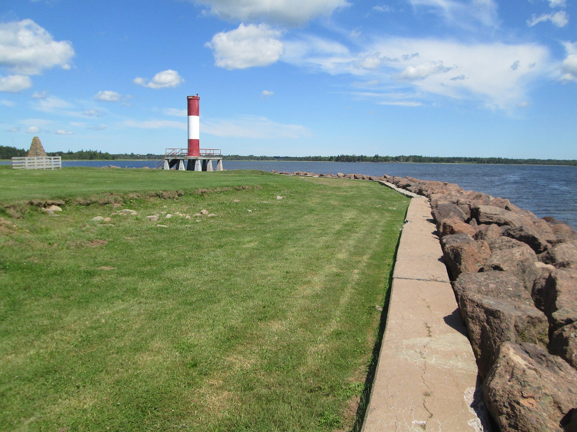
A pyramidal stone cairn bears an inscription describing the fort’s construction, surrender, British occupation, and destruction. An unmanned light structure was erected at the site in 1972.