Durbe Castle ruins: A Medieval Livonian Order Fortress in Latvia

Site at a Glance
- Rating
- 4.8
- Popularity
- Very Low
- Country
- Latvia
- Primary era
- Medieval
- External website
- Open
- Eras represented
- Medieval
- Civilizations
- Crusader, Livonian Order
- Site type
- Military
- Remains
- Castle
On this page8 sections
History
Durbe Castle ruins are the remains of a medieval fortress built by the Livonian Order in Durbe, Latvia, during the late fourteenth century. The Livonian Order was the military-religious branch that controlled much of present-day Latvia and Estonia and constructed fortified residences across the region. The castle stood in the historical region of Courland and became the centre of a settlement that developed around it.
Curonian Durbe and the Battle of 1260
Durbe was first mentioned in 1230 in a treaty concerning the acceptance of Christianity. The agreement was concluded between the papal envoy Baldwin of Alna and the Curonian leader Lamekin for the territories of Esestua, Durpis, or Durbe, and Saggara. Curonians were a Baltic people who inhabited western Latvia and nearby regions during the medieval period.
The name Durbe Castle once applied to two different fortifications. The earlier site was a Curonian hillfort and settlement about 9 kilometres northeast of present-day Durbe, near Vecpils. In the 1253 Curonian partition treaty, which divided Courland between the Bishop of Courland and the Livonian Order, this fortress was called Lyndale. It fell within the Order’s territory, and an Order commander later used the Curonian fortification as a residence. Lyndal and Lindal may have been earlier names for the fortress and settlement.
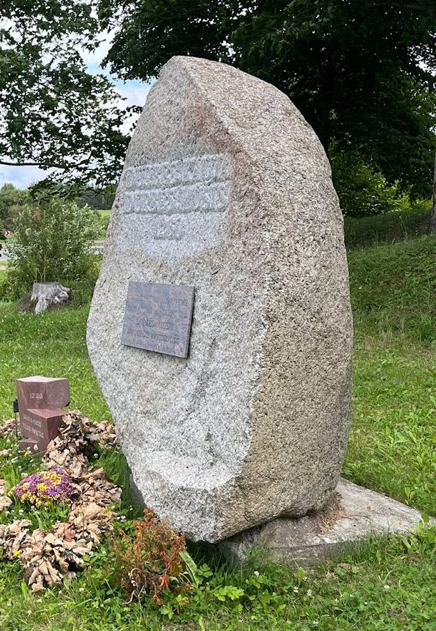
On 13 July 1260, a Lithuanian-Curonian army decisively defeated Livonian Order forces near Durbe. Livonian Land Master Burkhard von Hornhausen, many Order knights, and numerous loyal nobles from Prussian and Curonian territories were killed. The Livonian Land Master was the Order’s senior territorial official in Livonia. The defeat helped trigger the Great Prussian Uprising, a revolt against the rule and forced Christianization imposed by the Teutonic and Livonian Orders, which lasted from 1261 to 1272.
Crusaders destroyed the Lyndale fortress in 1263 while advancing from Kuldiga to Grobina. It was last mentioned in 1371. After its destruction, the Livonian Order probably began building a stone castle beside Lake Durbe between 1371 and 1387. The new castle was first mentioned in 1387, while the earlier site became known as the Old Castle, or Altenburg. In Latvian usage, it became associated with Vecpils.
Settlement, war, and abandonment
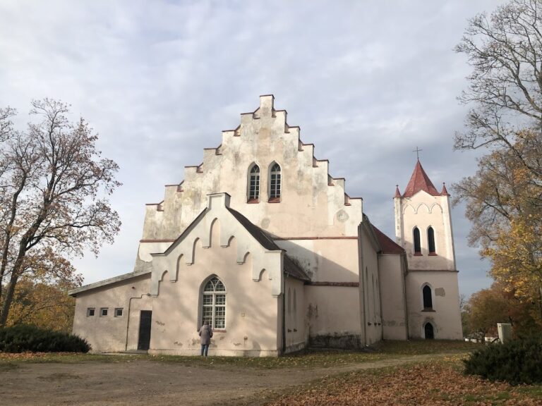
A settlement grew around the Order’s castle at the beginning of the fifteenth century, and a small church was added later. During the period of the Duchy of Livonia, approximately 30 craftspeople of different trades lived there, giving Durbe local importance. A new stone church was consecrated in 1651.
Swedish troops plundered the castle and settlement in 1601 during the Polish-Swedish War. In 1701, during the Great Northern War, Swedish forces under King Charles XII besieged the castle and bombarded it with artillery. The Great Northern War was an early-eighteenth-century struggle in which Sweden fought a coalition led by Russia for dominance in the Baltic region. After capturing Durbe, the Swedish troops plundered the castle and town and left them almost completely destroyed. The castle was not rebuilt and continued to decay.
Modern interpretation
By 1921, a representation by Bernhard Schmid incorrectly showed the castle as completely square. Later understanding established that the four sides had different lengths, refining the interpretation of the surviving fortress.
Remains
Hilltop enclosure
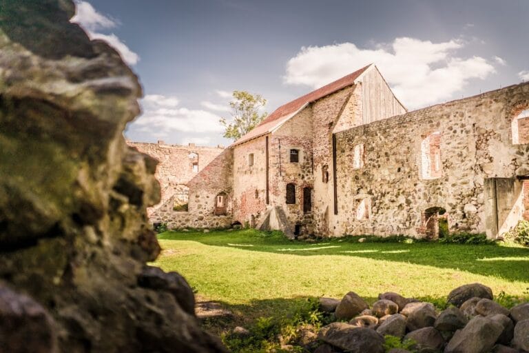
The castle occupied a hill that falls naturally on three sides. Its plan was approximately square, although its sides varied in length: about 59.5 metres on the north, 61 metres on the east, 56.5 metres on the south, and 60.4 metres on the west. The enclosing walls were built from fieldstone and were about 1.5 metres thick. They probably originally rose to approximately 10 metres. The northeastern wall incorporates some brickwork.
A moat and entrance may have occupied the southern side, where the terrain formed part of the defensive arrangement. No visible traces of either survive. Part of the northeastern wall probably collapsed in a landslide. At this break, the wall foundation extends about 1.2 metres below present ground level.
Surviving walls
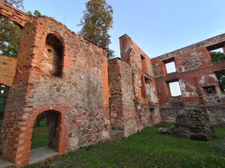
Two substantial wall sections remain on the northeastern and southeastern sides. Each stands approximately 9 to 10 metres high, and together they extend for 36 metres. Elsewhere, the enclosure survives mainly as low fragments of foundation wall, preserving the outline of the former stone fortress.
Residential and timber structures
An approximately 8.7-metre-wide residential wing with a basement was attached to the inner face of the northwestern wall. Its foundation walls are now only faintly discernible in the ground. Traces of beam holes on the inner face of the southeastern wall indicate that wooden additions were once attached there, showing how the stone enclosure incorporated less durable structures during its use.