Double Ditch: A Mandan Earth-Lodge Village in North Dakota
Site at a Glance
- Rating
- 4.5
- Popularity
- Low
- Country
- United States
- Primary era
- Early Modern
- External website
- Open
- Eras represented
- Medieval, Early Modern, Modern
- Civilizations
- Unclassified
- Site type
- Military
- Remains
- Fortified Town
On this page10 sections
History
Double Ditch, also known as Double Ditch State Historic Site, was a Mandan earth-lodge village on the east bank of the Missouri River north of Bismarck, North Dakota, in the United States. It was occupied approximately from 1450 to 1785, probably beginning around 1475 or shortly before 1500, and was inhabited by Nuptadi Mandans for roughly three centuries.
Foundation and expansion
The Mandans called the village Yellow Earth Village or Yellow Bank Village. At its foundation, it probably reached a peak population of about 2,000 and covered approximately 19 acres, or 7.7 hectares. Its houses were enclosed by a palisade, a defensive barrier made from closely spaced wooden posts, with projecting bastions at intervals of no more than roughly 30 meters.
During the mid-to-late sixteenth century, the village’s defensive boundaries contracted. By 1600, its settled area had declined by about 20 percent. Drought or infectious disease may have contributed to this population loss.
Contraction and abandonment
By the mid-eighteenth century, the innermost fortification enclosed only about four acres, indicating a population of fewer than 400. Around the same time, the village’s entire surface layer was laboriously scraped away, possibly after a severe epidemic.
Double Ditch remained occupied in the early 1780s, when a smallpox epidemic spread across the prairies. The village was abandoned a few years later, probably after its surviving population became too small and joined groups in other villages. Mandan tradition holds that Yankton and Yanktonai Sioux east of the Missouri River attacked and burned the settlement. It was never rebuilt.
Archaeology and preservation
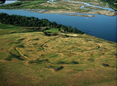
In 2002, archaeologist Kenneth Kvamme used radio gradiometry, a geophysical survey technique that detects buried variations without extensive excavation, to produce digitally enhanced maps of the village. The survey identified two previously unknown ditches outside the two visible ditches, showing that the settlement originally extended beyond its previously recognized boundaries.
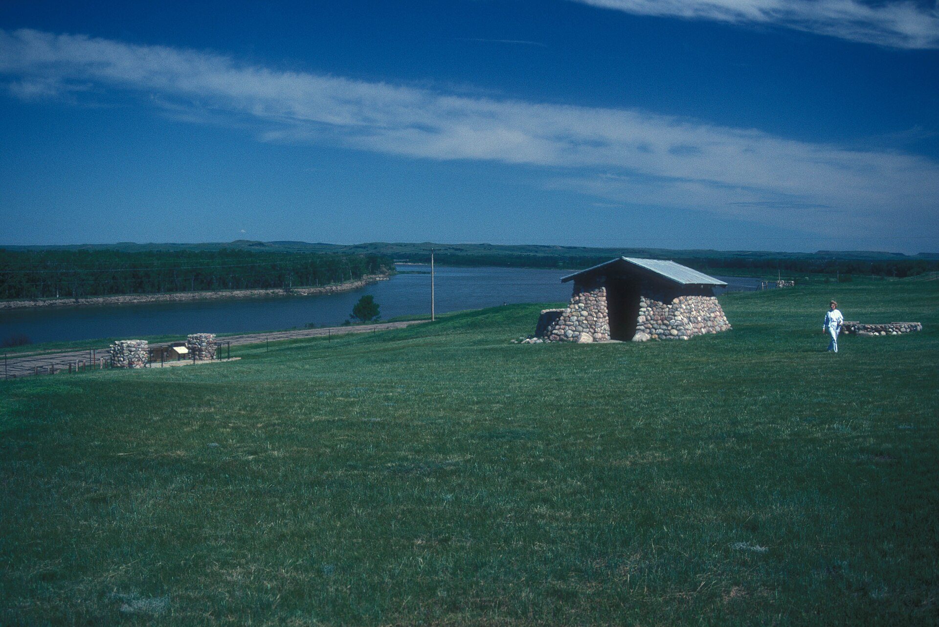
The archaeological site was listed on the National Register of Historic Places in 1979 and is managed by the State Historical Society of North Dakota. A separate group of Depression-era work-relief features was listed in 2014. These 1930s structures are associated with the WPA Rustic style, a New Deal public-works style that emphasized local materials and a deliberately rustic appearance.
Remains
Double Ditch preserves the remains of a large Mandan settlement organized around circular earth lodges, agricultural storage pits, refuse mounds, and layered defensive works. The village occupied about 19 acres during its largest phase. Its fortifications combined a wooden palisade with deep ditches, while steep terrain and the Missouri River added natural protection.
Village buildings and settlement features
Earth lodges
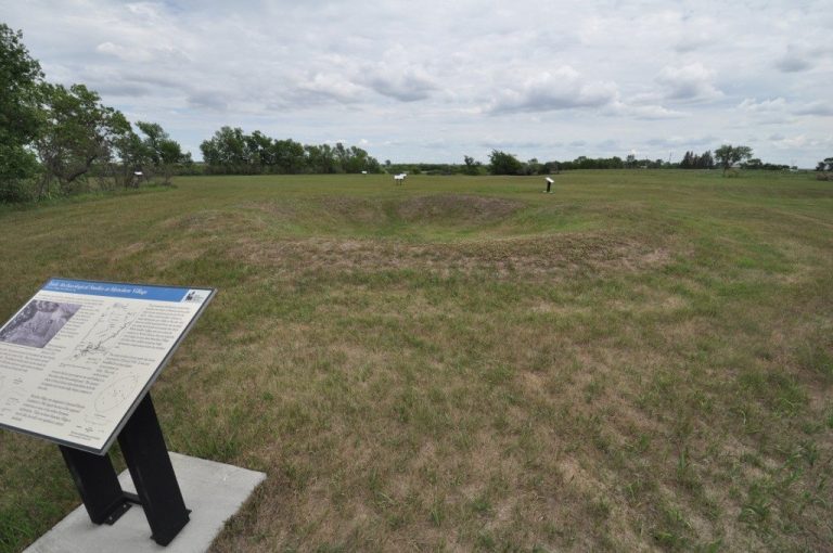
The village may originally have contained as many as 160 circular earth lodges. An earth lodge was a large, semi-subterranean dwelling built around a wooden framework and covered with layers of earth. Each house had a centrally placed hearth. Some of the earliest dwellings may instead have been rectangular. Earth-lodge remains form part of the archaeological settlement along with the other features created during its long occupation.
Storage pits and midden mounds
Underground storage chambers for corn and other crops were distributed throughout the settlement. They were approximately 1.4 meters in diameter and 1.6 meters deep, reflecting the agricultural basis of the community. More than 30 midden mounds surround the village. These mounds, formed from accumulated refuse and settlement debris, generally range from about 1 to 10 feet in height, with some reaching approximately 2 meters.
Fortifications
The settlement’s defensive system included four ditches. The outermost was the oldest and extended beyond the palisade, reaching about 1.5 meters in depth. Later ditches were built progressively closer to the earlier village center. Ditch 3 was constructed inside ditch 4 during the mid-to-late sixteenth century, followed by ditch 2 inside ditch 3. The innermost visible ditch was built in the mid-eighteenth century. Two ditches remain visibly legible, while the two additional outer ditches were identified through archaeological survey.
Distinct depressions along the outer edge of the innermost ditch are considered human-made. They may have formed when soil was removed for constructing and maintaining the earth lodges and artificial mounds.
Depression-era features
A separate historic-period group within the archaeological site consists of a building and walls constructed during the 1930s as work-relief projects. The features follow the WPA Rustic style and comprise one contributing building and eight contributing objects.