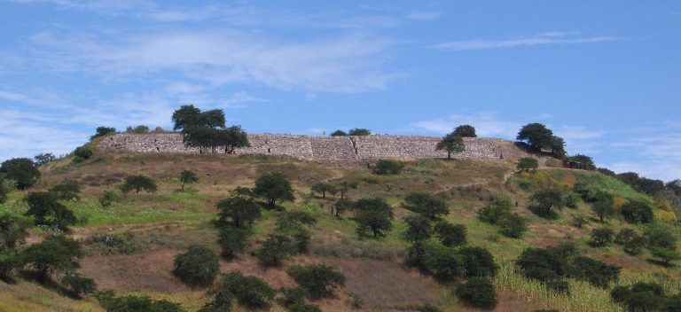
Cumbe Mayo: A Pre-Inca Aqueduct and Archaeological Site in Peru
Site at a Glance
- Popularity
- High
- Country
- Peru
- Primary era
- Bronze Age
- Eras represented
- Bronze Age, Iron Age
- Civilizations
- Unclassified
- Site type
- Infrastructure
- Remains
- Aqueduct
On this page7 sections
History
Cumbe Mayo is a pre-Inca aqueduct and archaeological site about 20 km southwest of Cajamarca, Peru. Its water channel and rock carvings are generally dated to the second millennium BCE, with estimates ranging from about 1500 to 1000 BCE.
Pre-Inca construction and use
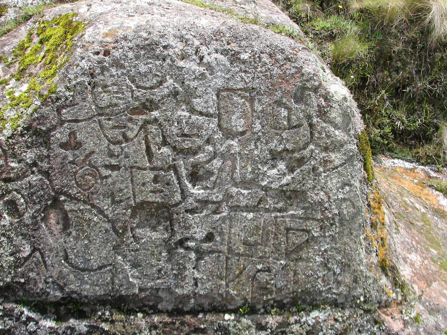
The channel is understood to have supplied cultivated fields and lower-lying areas, especially during periods of water scarcity. Julio C. Tello proposed another possibility: that the site served as a ceremonial center devoted to water rather than primarily as an irrigation system. The region’s abundant water may have made irrigation less necessary. The petroglyphs, images carved or pecked into rock, have also been compared with examples associated with the Chavín, an Andean culture that flourished in the region from around 900 BCE.
Rediscovery and interpretation
Ernesto de la Puente identified Cumbe Mayo in 1937. At de la Puente’s request, Tello examined the canal, cleared vegetation from the remains, and recorded the carved designs, bringing them to the attention of the scientific community. Tello proposed a date near 1000 BCE for the canal and interpreted the remains as evidence of an ancient nature cult.
Studies by Cajamarca-based researcher Rogger Ravines indicate that the canal remained in use for many centuries. Ravines also suggested a possible connection with a rock-cut sanctuary near the channel at the edge of Los Frailones. Cumbe Mayo was once regarded as the oldest surviving structure in South America and is recognized as Cultural Heritage of Peru.
Remains
The aqueduct
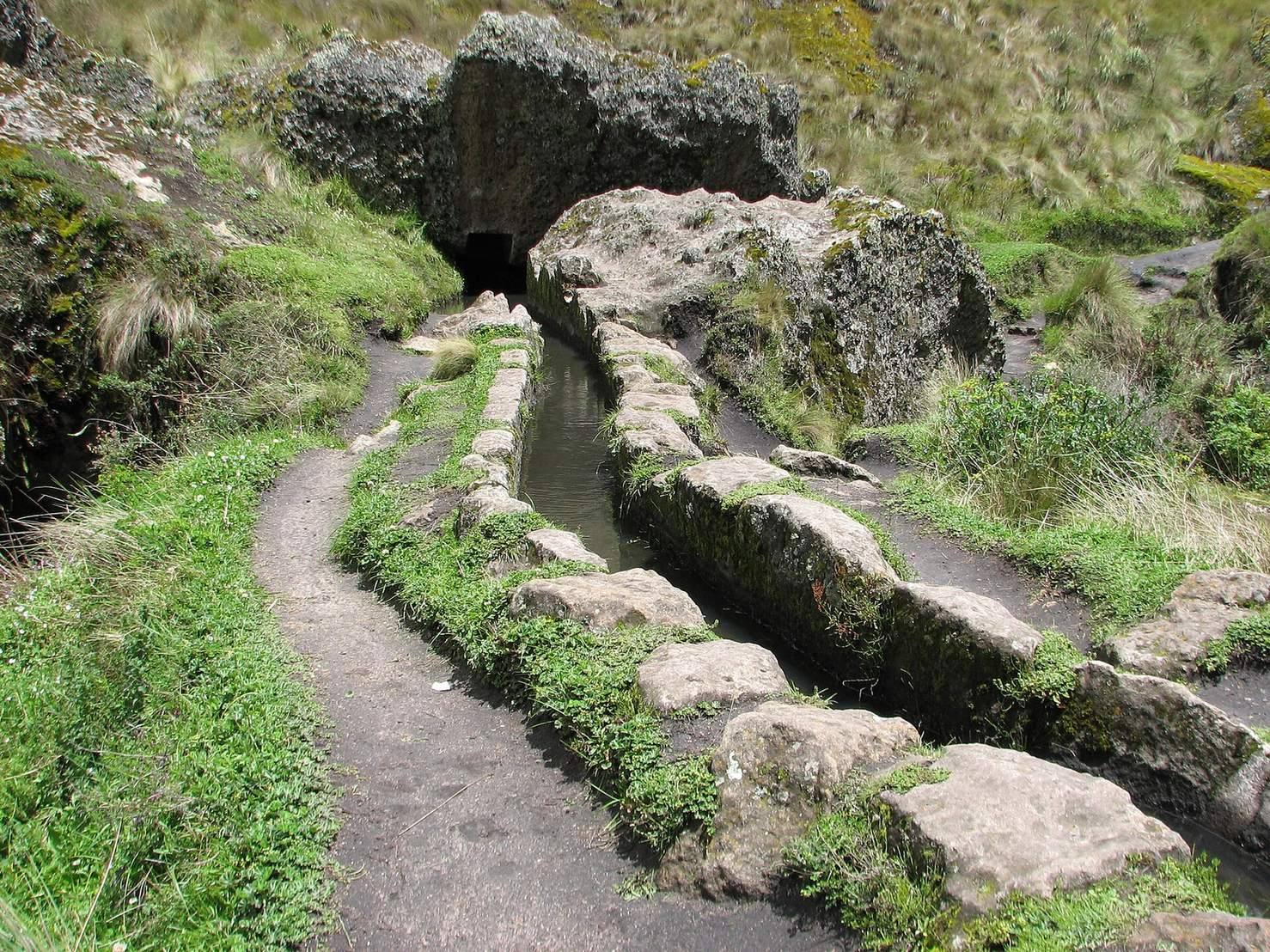
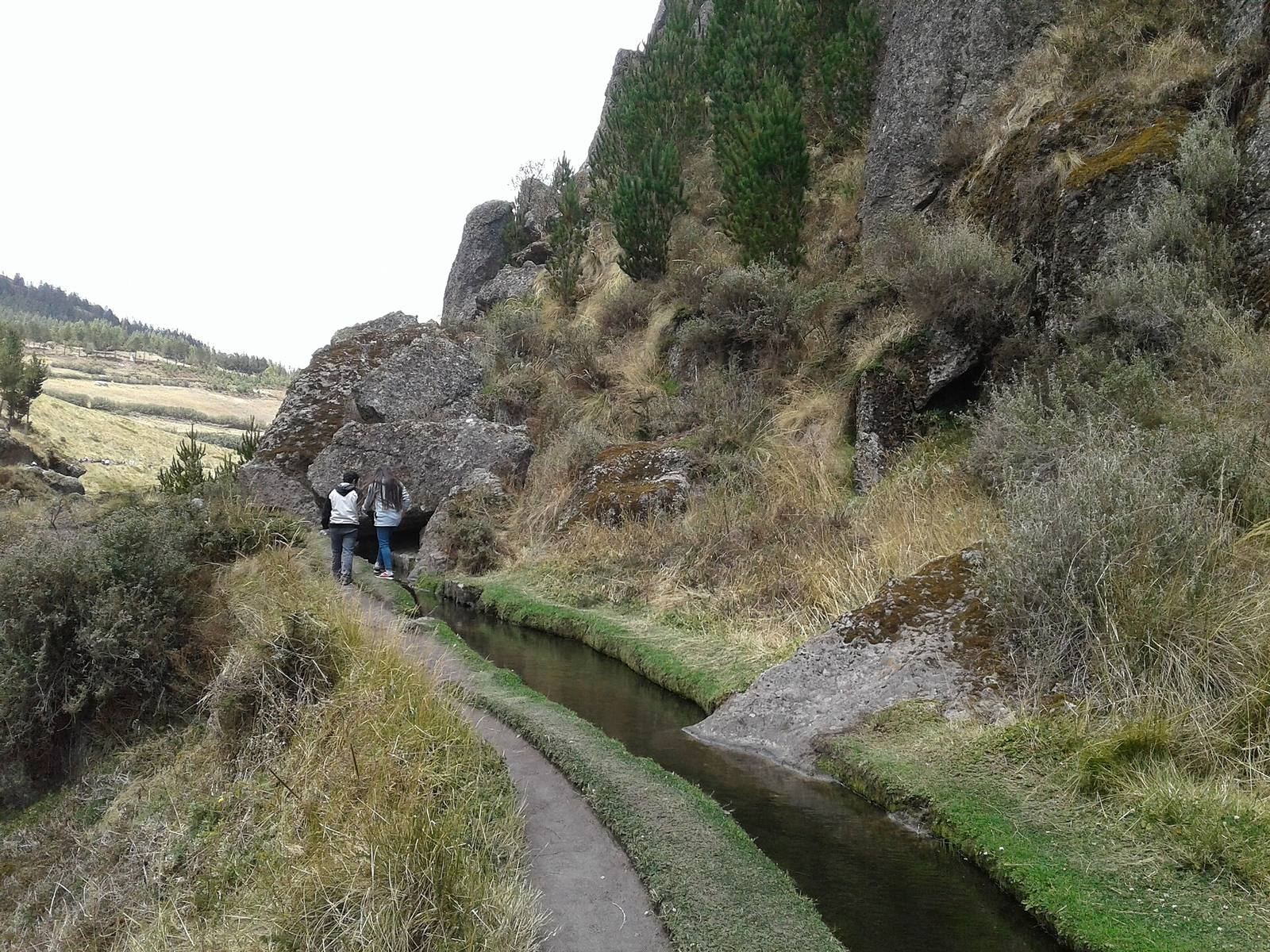
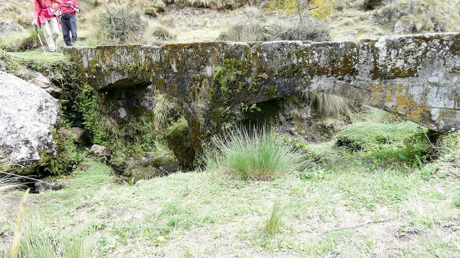
At roughly 3,500 m above sea level, Cumbe Mayo covers about 8 square kilometres amid volcanic rock formations. Its principal feature is an aqueduct approximately 8 km long. It collected precipitation and melting snow from high ground facing the Atlantic and carried the water toward lower terrain on the Pacific-facing side, including cultivated land. The channel winds down the hills toward Cajamarca. Retaining walls and bridges supported it across earthen ground, while sections through rocky terrain were cut into the rock, with tunnels along the route. In some places, two or three right-angle bends slowed the water. One stretch is about 850 m long, up to 50 cm deep and 30 cm wide, and water still flows through it. The channel may also have supplied a large reservoir, probably near the foot of Santa Apolonia Hill.
Rock carvings and sanctuary
Stone steps are cut into the approach to the aqueduct, and a nearby carved stone may have served as a ceremonial altar. At the edge of the Los Frailones outcrop, a large cliff beside the channel is described as a sanctuary. Its shape resembles a human head, with a grotto forming what appears to be its mouth. Petroglyphs occur there, as well as on parts of the aqueduct and in nearby caves, rock shelters, and surrounding stone. Some figures have been interpreted as human-like.
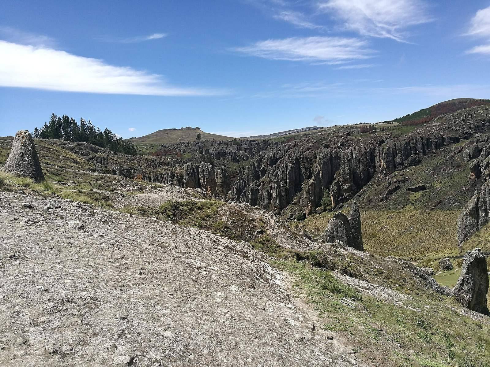
Los Frailones
Los Frailones is a group of massive volcanic pillars, some rising about 18 m. Wind and rain likely shaped the formations. Some pillars have been likened to hands or animals, while others have suggested friars in procession. They stand against the flat, grassy plains around Cajamarca.