Crow Wing State Park: Preserving the Old Crow Wing Townsite
Site at a Glance
- Popularity
- Medium
- Country
- United States
- Primary era
- Modern
- Eras represented
- Modern
- Civilizations
- Unclassified
- Site type
- City
On this page11 sections
History
Indigenous crossroads
Crow Wing State Park preserves the former townsite of Old Crow Wing at the confluence of the Mississippi and Crow Wing Rivers in Minnesota, United States. The river junction offered routes for travel and hunting. Dakota people inhabited the area as its historical period began, and they clashed with Ojibwe people displaced westward from farther east.
A tradition places a two-day battle here in 1768. It tells that Dakota warriors raided an Ojibwe village and took several women by canoe. Ojibwe warriors returning from an unsuccessful raid attacked the party from a high riverbank, firing from shallow pits. The captives overturned their canoes and swam ashore. A Dakota counterattack from land was repelled, and the tradition credits the battle with securing Ojibwe control of the area.
Growth of Old Crow Wing
European fur traders frequented the river junction from the late eighteenth century. A trading post opened in 1823, and a town developed around it. In 1844, a newly blazed section of the Red River Trails, an overland trade-route network, passed through Old Crow Wing, bringing an economic boom. The town became one of Minnesota’s most populous communities during the 1850s and 1860s.
Several traders from Crow Wing later became prominent in early Minnesota; three gave their names to Morrison, Aitkin, and Rice Counties. Métis trader Clement Hudon Beaulieu, a member of a people with Indigenous and European ancestry, managed the American Fur Company post. William Whipple Warren, an Ojibwe-American historian, wrote an early history of the Ojibwe. Three churches served the town, including a Catholic mission established by missionary priest Francis Xavier Pierz.
Decline and preservation
The town’s prosperity faded after Ojibwe people were resettled at the White Earth Indian Reservation in 1868. In 1871, railroad executive James J. Hill directed the Northern Pacific Railroad across the Mississippi at Brainerd, about ten miles north. By 1880, most residents had left Crow Wing.
The Crow Wing County Historical Society led efforts to create a state park around the townsite, and the Minnesota Legislature authorized it in 1959. In 2006, state funding and private donations supported a 552-acre expansion. A chapel built on the former site of Pierz’s mission prompted controversy; it occupies a small privately owned parcel and was constructed without public funds. The park entered the National Register of Historic Places on July 28, 1970. A section of the Red River Trails through Old Crow Wing is also listed separately.
Remains
River landscape
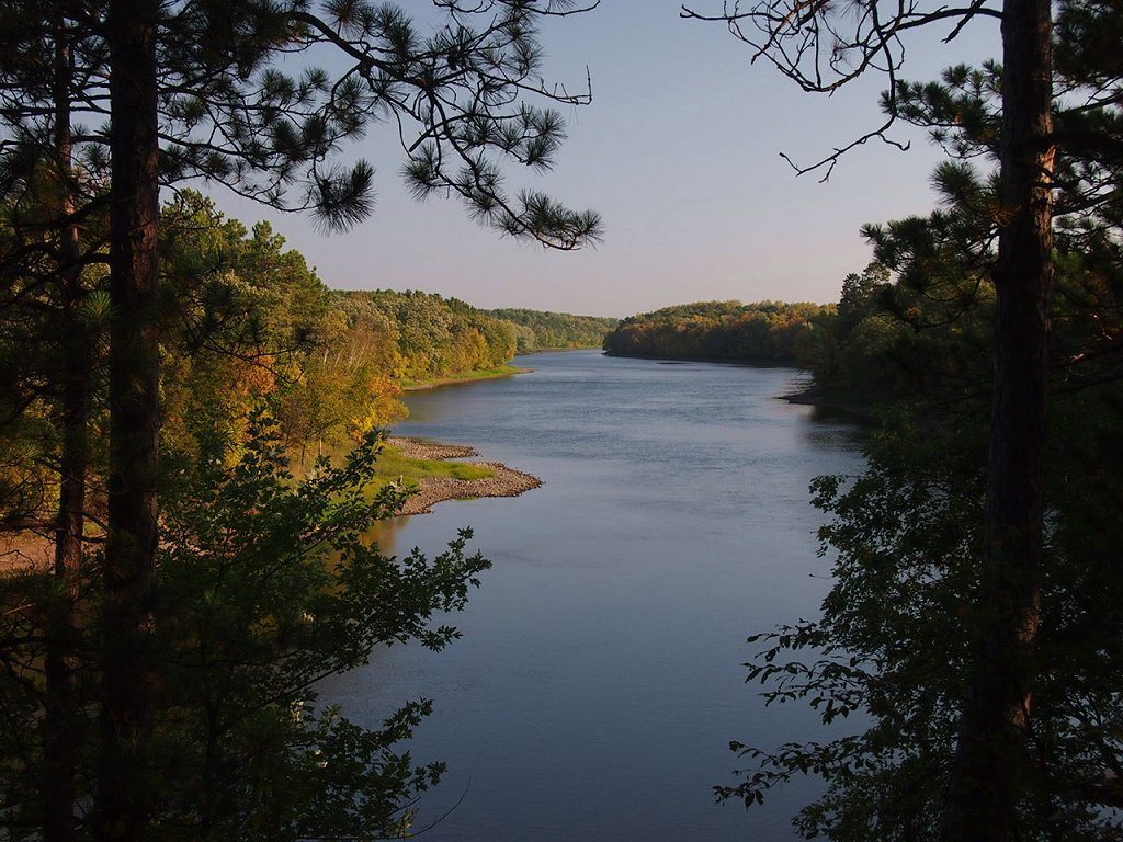
The 3,119-acre park lies on an outwash plain, land shaped by sediment deposited by meltwater from Glacial Lake Grantsburg. The 2006 expansion added 3.13 miles of Mississippi River frontage. Oak forest, red, white, and jack pine, and aspen grow among openings of prairie and wetland. Wildlife includes deer, coyotes, eagles, beavers, hawks, muskrats, waterfowl, foxes, and songbirds.
Townsite and surviving features
Beaulieu house
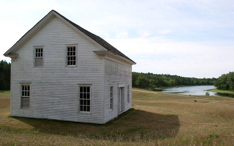
Clement Beaulieu’s house is a Greek Revival building, an architectural style inspired by classical Greek forms. It was moved back to its original location in 1988. Interpretive signs mark other locations associated with the former town’s buildings.
Catholic cemetery
Several headstones remain visible in the Catholic cemetery, preserving a physical trace of the town’s religious community.
Mission chapel
A chapel stands on the former site of Father Pierz’s Catholic mission, on a small privately held parcel.
Indian Rifle Pits
Shallow depressions known as the Indian Rifle Pits may be remnants of the ambush described in the tradition about the 1768 battle.