Compsa: An Ancient Hirpini City in Italy
Site at a Glance
- Popularity
- Medium
- Country
- Italy
- Primary era
- Classical
- Eras represented
- Classical, Medieval, Early Modern
- Civilizations
- Kingdom of Naples, Roman, Spanish
- Site type
- City
On this page13 sections
History
Compsa was an ancient city of the Hirpini on a ridge in Irpinia, Italy. By the third century BC, it was a city of the Hirpini, one of four peoples associated with the Samnites. It later became a Roman municipium, a self-governing community incorporated into the Roman state. In imperial times, it lay far from the principal roads.
Samnite and Roman phases
The first Hirpin settlement may have been at Monte Oppido, south of Lioni, before shifting to the Compsa area after the Roman conquest. During the Second Punic War, the late third-century BC conflict between Rome and Carthage, Compsa changed hands. After Rome’s defeat at Cannae in 216 BC, Statius Trebius surrendered the city to Hannibal Barca, Carthage’s leading general. The Roman statesman and general Quintus Fabius Maximus retook it in 214 BC. Sulla, a Roman general and dictator, probably occupied Compsa in 89 BC.
In 48 BC, Compsa was a municipium loyal to Julius Caesar. One interpretation of Caesar’s Civil War (book 3, chapter 22) places the death of Caesar’s opponent Titus Annius Milo, a Roman politician, at Compsa, where a stone thrown from the walls struck him. This reading identifies references in Caesar and Pliny with Compsa rather than the more usual candidate, Cassano allo Ionio. It depends on interpreting the ancient manuscripts as corrupt.
Late antiquity and Lombard rule
In 555, about 7,000 Goths, allied with the defeated Alemanni, took refuge in Compsa’s castle. Both were Germanic peoples. They resisted a Roman army led by a Hun commander, from a nomadic people active in Europe during late antiquity, before surrendering to Narses, a Byzantine general.
By the sixth century, Compsa was an episcopal see, the official seat of a bishop, and had churches dedicated to Santa Maria de Foris and San Mauro. Its ancient cathedral later served as an archbishop’s seat for many centuries. The Lombards, a Germanic people who ruled parts of Italy in the early Middle Ages, sacked the city in 570. It was subsequently annexed to the Principality of Salerno, a medieval state in southern Italy.
Medieval Conza and later earthquakes
An earthquake on 25 October 990 was followed by the settlement’s move to higher ground near the castle. Under Lombard rule, Conza was the seat of a gastaldato, an administrative district governed by a gastald. The district was abolished after the Normans, who established rule in parts of southern Italy, conquered the principality between 1076 and 1079.
From the mid-fifteenth century, the counts of Conza from the Gesualdo family held lordship over the town. An earthquake in 1517 brought down 116 houses and killed 26 people, although the village was still prosperous in 1539. Further earthquakes in 1561 and 1627 contributed to economic decline and depopulation.
Feudalism was abolished in 1806, and Italy was unified in 1861. Earthquakes struck in 1930 and 1962, followed by the 23 November 1980 Irpinia earthquake, which destroyed the upper town. The settlement was rebuilt farther down the valley. Archaeologist Italo Sgobbo explored the area in 1938; after the 1980 earthquake, collapses and later demolition in the modern town exposed ancient remains and finds.
Remains
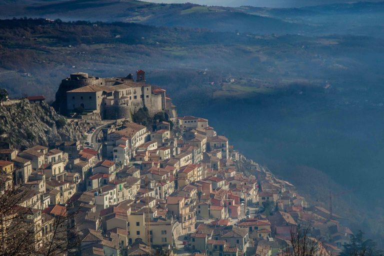
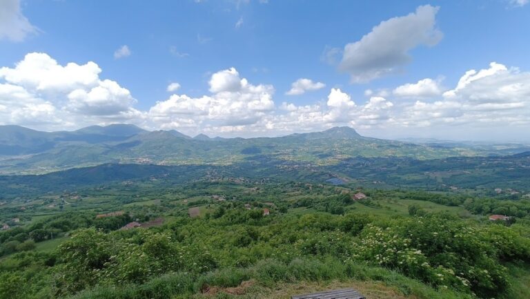
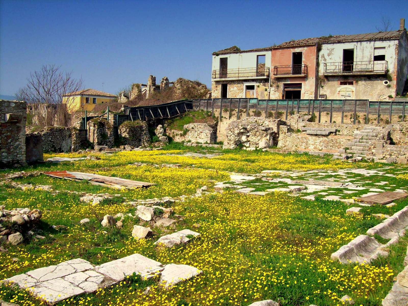
The archaeological area occupies the upper part of a broad hill in Irpinia, near the sources of the Ofanto River. Compsa stood on a ridge about 609 metres above sea level, near the boundary of ancient Lucania and not far from Apulia. Remains from several periods are spread across the area, including a Roman forum and amphitheatre, and the ancient cathedral.
Archaeological remains and finds
Forum and domestic buildings
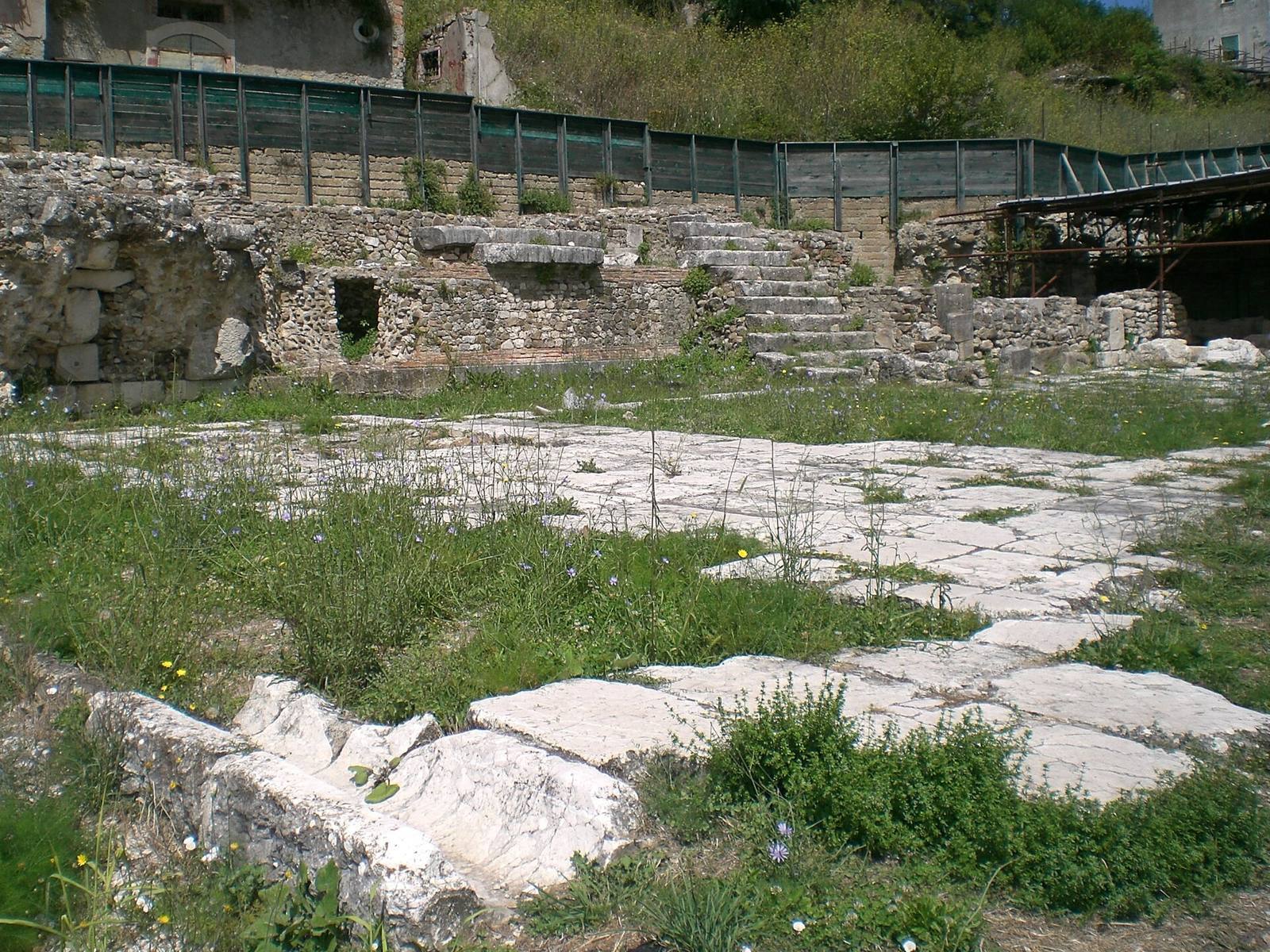
At Via Arcivescovado and Via Fontana Vecchia, the remains include cobbled paving from the forum square and Hirpin houses dating to before the second century BC. Part of a Roman building also survives, with a podium, or raised base, built from limestone blocks. A funerary marker was found among the remains of the forum square.
Baths, amphitheatre, and votive altar
Remains of a Roman bath complex were found at Via Lomongiello. The archaeological area also contains an amphitheatre and a votive altar dedicated to Venus.
Marble funerary altar
A rectangular Roman funerary altar of marble is preserved near the cathedral. Two eagles with outspread wings and garlands decorate it. Its inscription reads D(is) M(anibus) D(ecimus) PETRONIUS NIGRUS F(ilius) ET CAECILIA QUINTIANA CONOUNX FECERUNT.
Museum collections
Inscriptions, sarcophagi, mosaics, and other finds from the area are housed in a museum established in a renovated building.
Medieval fortifications and cathedral
The Garden and castle walls
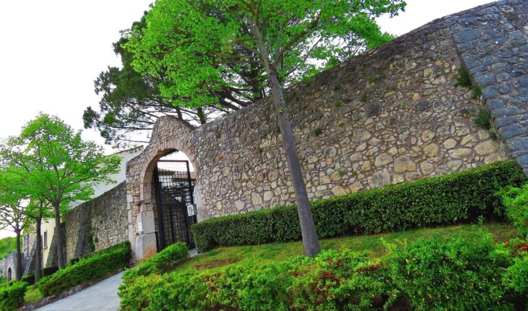
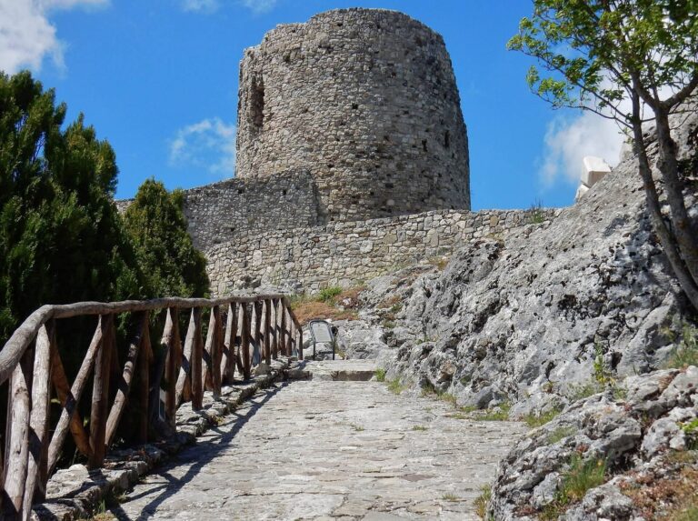
The green area known as the Garden occupies the site of medieval walls, lost through earthquakes and rehabilitation work around 1957. Traces of the old castle’s wall layout remain, associated with a large rectangular structure with an apse, a rounded projection at the end of a building.
Cathedral of Santa Maria Assunta
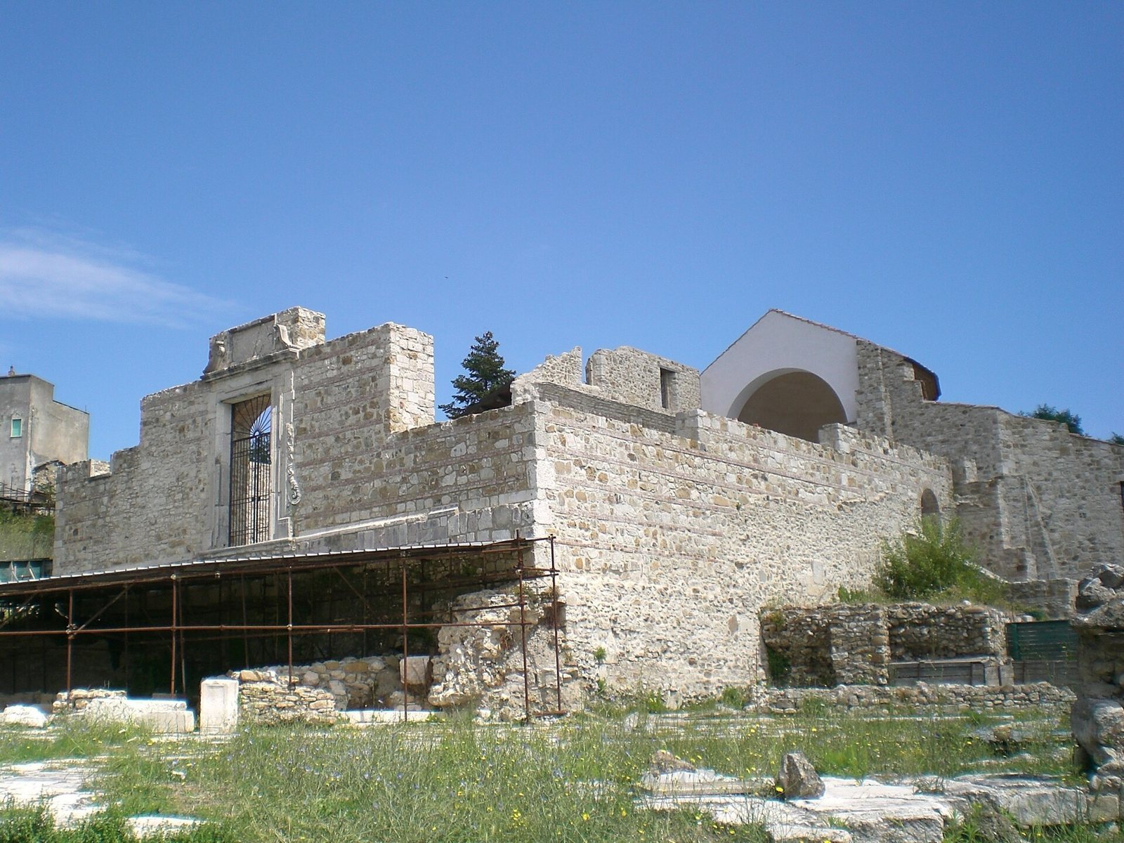
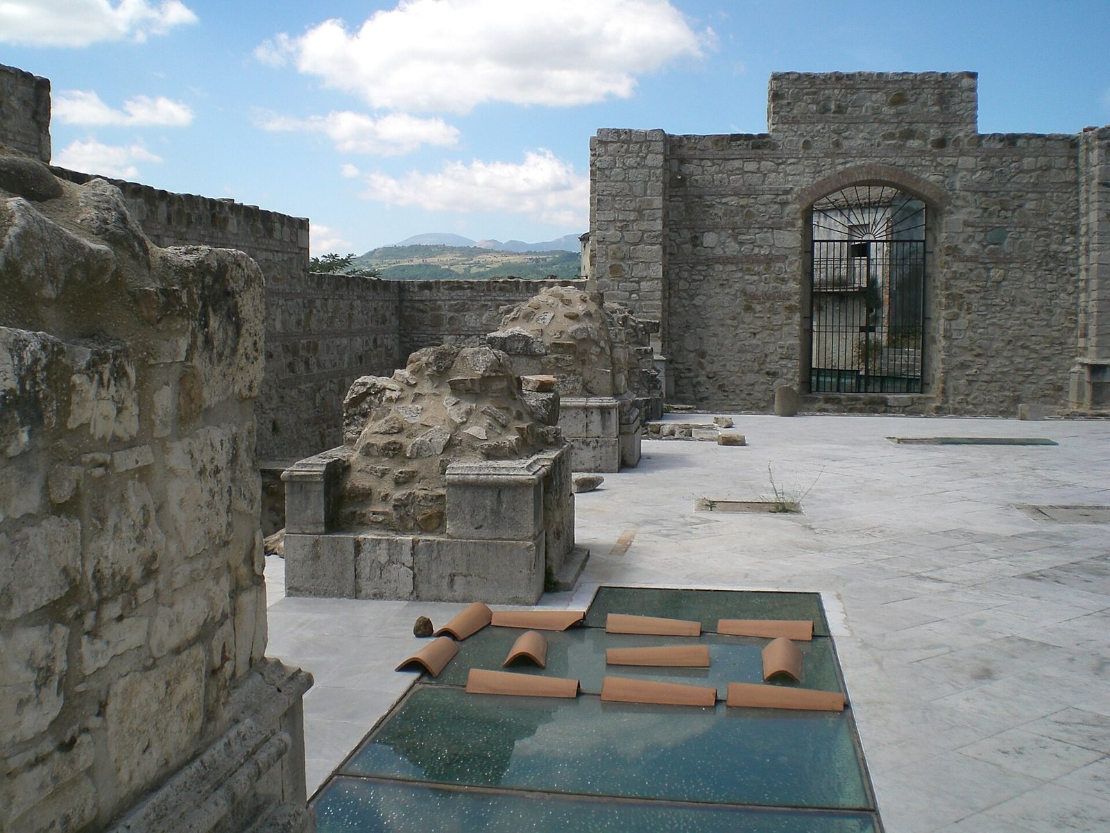
The Cathedral of Santa Maria Assunta dates to the sixth century and was restored in the thirteenth century. After earthquakes in the seventeenth century, it received Baroque decoration, an ornate artistic style. The 1980 earthquake left the cathedral almost entirely collapsed. Surviving parts include the apse, the right-hand wall, half of its turreted bell tower, the Capuchin crypt, a chamber beneath the church, and part of the medieval front. Roman-period paving remains in the square before the cathedral.