Strasbourg Citadel: A French Fortress on the Rhine Frontier
Site at a Glance
- Popularity
- Medium
- Country
- France
- Primary era
- Early Modern
- Eras represented
- Early Modern
- Civilizations
- French
- Site type
- Military
- Remains
- Citadel
On this page10 sections
History
The Strasbourg Citadel was a French fortress east of Strasbourg’s old town, near the Rhine in France. Built in the early 1680s and completed in 1685, it formed part of the defenses intended to secure the city and the Rhine frontier.
French acquisition and construction
Strasbourg surrendered to French forces on 30 September 1681. It had been a free imperial city, directly subject to the emperor, within the Holy Roman Empire, a political association of central European territories under an elected emperor. France sought control of Strasbourg for strategic reasons, including its position on the Rhine and in Alsace, especially after France lost the fortress of Philippsburg in 1676.
On 3 October 1681, military engineer Sébastien Le Prestre de Vauban and war minister François Michel Le Tellier de Louvois inspected the city’s defenses. Vauban prepared a fortification report, and he and fellow engineer Jacques Tarade directed the citadel’s construction. More than 3,000 workers were employed there, while about 1,000 worked on the fortress of Kehl across the Rhine. The French army’s Flanders Regiment also worked on the citadel in 1683 and 1684, and the Bruche Canal was dug to support the building project.
Siege and transformation
During the siege of Strasbourg in the Franco-Prussian War, the 1870–71 conflict between France and Prussia and their German allies, German artillery positions near Kehl bombarded the citadel for weeks. The fortress was heavily damaged, although it was not directly assaulted.
After the war, Strasbourg developed a newer system of forts, and the older citadel defenses were abandoned. Urban expansion led to the demolition of much of the fortress from 1896, leaving a portion standing. The surviving works were classified as historic monuments in 1922 and 1932. From the 1960s, the site was developed as the public Parc de la Citadelle around the eastern gate.
Remains
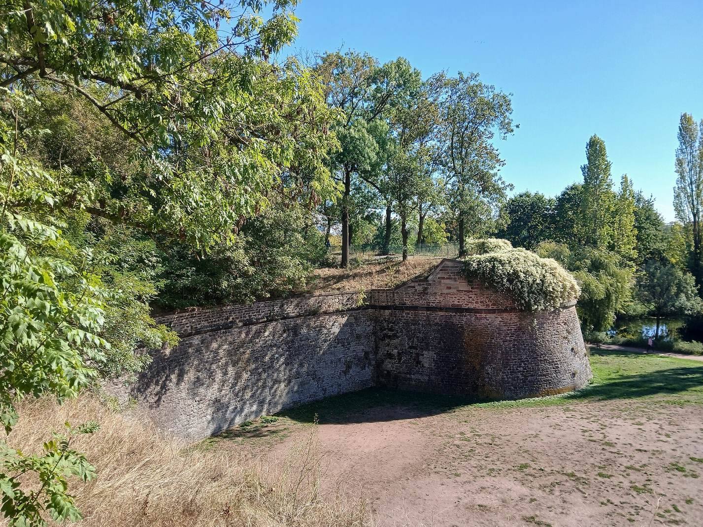
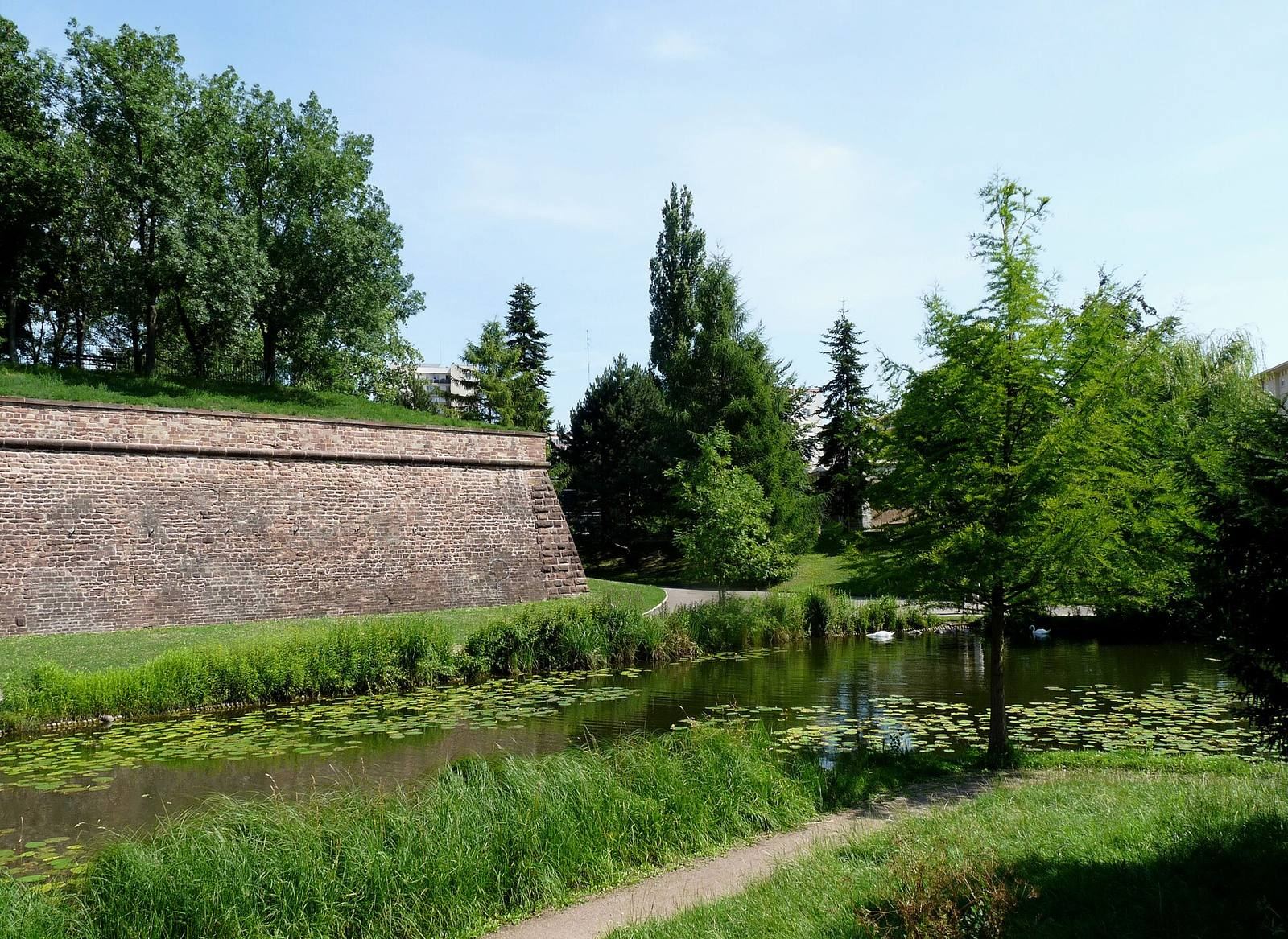
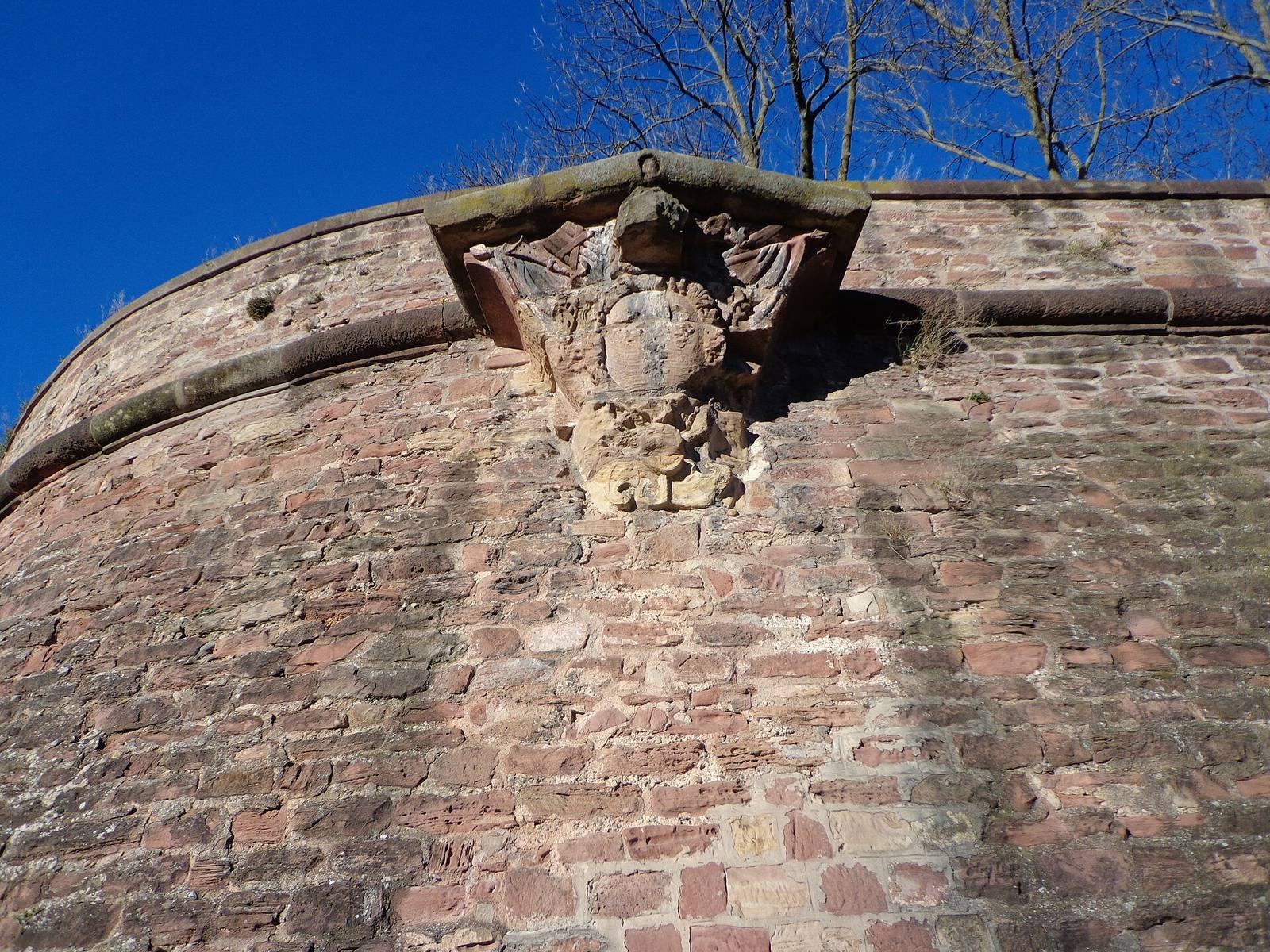
The citadel was laid out as a regular five-sided fort, with about 350 metres between opposite bastion tips. Its earth ramparts were faced with red sandstone blocks. The principal circuit had five bastions, numbered 68, 70, 72, 74 and 76, joined by five curtain walls, the sections connecting neighboring bastions.
Main defensive circuit
The projecting bastions defended the curtain walls between them. Each had a rounded shoulder that shielded its flank, while the two facing the city, 70 and 72, also carried raised gun platforms. In front of every curtain stood a pair of angled defensive walls. Beyond them, each curtain had a detached crescent-shaped work. Within each of these was a small enclosed defensive structure, separated from the rest of the work by a ditch that could be dry or water-filled. Some had a guardhouse. Their plain masonry walls had gun openings and were not backed by raised earth ramparts.
Kehl-facing and outer defenses
On the eastern front facing Kehl, bastion 76 was protected by an outward-projecting work with two flanking half-bastions, numbered 55 and 56. A further detached work stood before its connecting wall. Three small detached defensive works, numbered 49, 50 and 51, lay within a second area of sloping open ground; a small enclosed fortification, numbered 48, stood farther forward. Sloping open ground enclosed both the citadel and the eastern work. Protected paths ran along its outer edge, and raised barriers with firing steps crossed them at outward and inward angles. These barriers shielded defenders from fire directed along the paths and provided an additional fallback position.
City approaches and gates
A broad cleared area separated the citadel from the city. Two connecting walls linked it to the city fortifications, extending from the right face of bastion 77 and the left face of bastion 78. Their city-facing sections were raised as ramparts, while the sections toward the citadel were low masonry walls. They were deliberately made weak so they could be demolished if the citadel came under attack from the city.
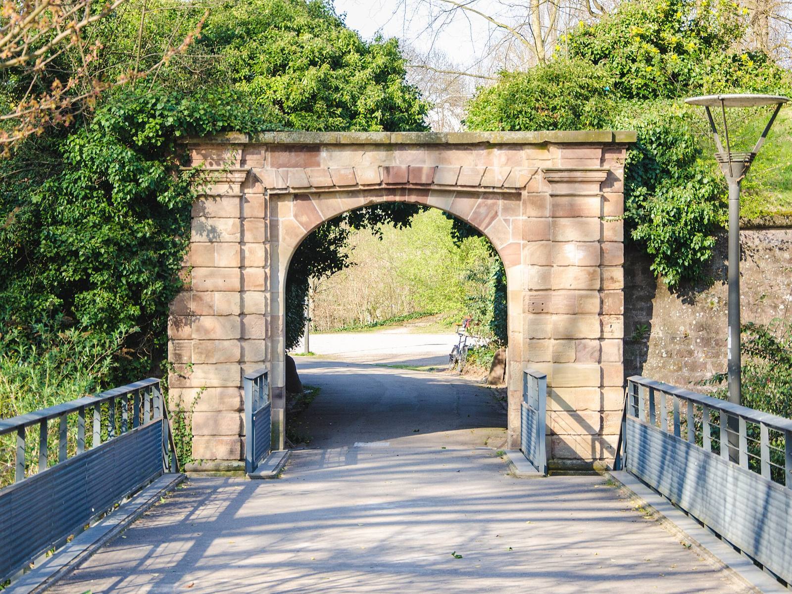
Three gates served the fortress: one faced the city, another opened east toward the Rhine, and a third passed through the eastern projecting work. The royal gate was numbered 71; the emergency gates were numbered 75 and 54, with the latter passing through the outer work. The park was laid out around the eastern gate.
Interior arrangement
The original interior had a central square drill ground, with buildings arranged around it and straight streets oriented toward the city-side gate. Facilities included barracks, powder stores in bastions 68, 76 and 74, large underground galleries, and an arsenal. Quarters served the commandant, the king’s lieutenant and the major, the assistant major and artillery personnel, and the gate captain. The complex also included the Saint-Louis parish church, supply depots, bakeries, ovens and horse-powered mills.
Surviving fortifications
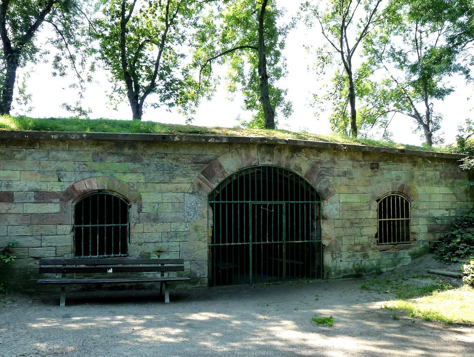
The remaining fortification fabric lies north of Bassin Dusuzeau. It includes two bastions identified as 27 and 28, the curtain joining them, a forward ditch and a detached triangular defensive work. Sections of walls containing protected chambers also survive as parts of the southeastern side of the original five-sided fort.
Memorial plaque
A plaque fixed to the wall to the right of the citadel entrance at Place du 3e Régiment de Tirailleurs Algériens commemorates the 3rd Algerian Tirailleurs Regiment, a French Army light infantry unit raised in Algeria. Its inscription honors the regiment’s defense of Strasbourg from 3 to 25 January 1945 during the Battle of Kilstett, a World War II battle in Alsace.