Chutixtiox: A Fortified Late Postclassic Maya Settlement in Guatemala
Site at a Glance
- Rating
- 4.3
- Popularity
- Very Low
- Country
- Guatemala
- Primary era
- Medieval
- Eras represented
- Medieval, Early Modern
- Civilizations
- Maya
- Site type
- Military
- Remains
- Fortified Town
On this page15 sections
History
Chutixtiox is a fortified Late Postclassic Maya archaeological site at Río Blanco in Guatemala. Occupied from approximately AD 1200 to 1524, it developed on a defensible ridge above the Río Negro valley and may have helped a K’iche’ settlement control the surrounding agricultural landscape.
Early and Late Phases
Ceramic evidence identifies two principal phases at Chutixtiox. The Early Phase dates to approximately AD 1200–1350 and is represented by a substantial assemblage, indicating that the settlement was established before the later expansion of central K’iche’ influence. The Late Phase, dating from approximately AD 1350 to 1524, accounts for most of the ceramics recovered at the site.
Late Phase pottery closely resembles contemporary material from Q’umarkaj, the capital of the K’iche’, and the later architecture is also closely related to central K’iche’ traditions. The differences between Chutixtiox and the typical settlement pattern at Q’umarkaj may reflect the site’s earlier, pre-conquest development, while its later similarities point to a stronger relationship with the central K’iche’ region.
Conquest and Political Associations
These archaeological patterns correspond with Indigenous historical traditions describing the central K’iche’ conquest of the Sacapulas region in the early fifteenth century. The Annals of the Kaqchikels and Título Xpantzay II, colonial-era Indigenous documents preserving Maya political traditions, describe Kumatz as having been conquered by the central K’iche’. The later ceramics and buildings at Chutixtiox reflect the strong central K’iche’ influence associated with this history.
Chutixtiox may have belonged to a polity that also included the nearby sites of Chutinamit and Xolpacol. It has also been tentatively identified with the settlement of the Kumatz group, one of four groups associated with the area around Sacapulas in the Popul Vuh, a K’iche’ narrative concerning origins, migrations, rulership, and historical communities. Kumatz was associated with the north side of the river, but the identification with Chutixtiox remains uncertain. The site lies approximately 3 kilometres west of the contemporary settlement of Tuja.
Archaeological Exploration
A. Ledyard Smith carried out the earliest archaeological exploration of Chutixtiox in 1955. The site’s location, defensive works, and architectural remains have helped clarify the relationship between an earlier settlement tradition and the later political and architectural influence of the central K’iche’ region.
Remains
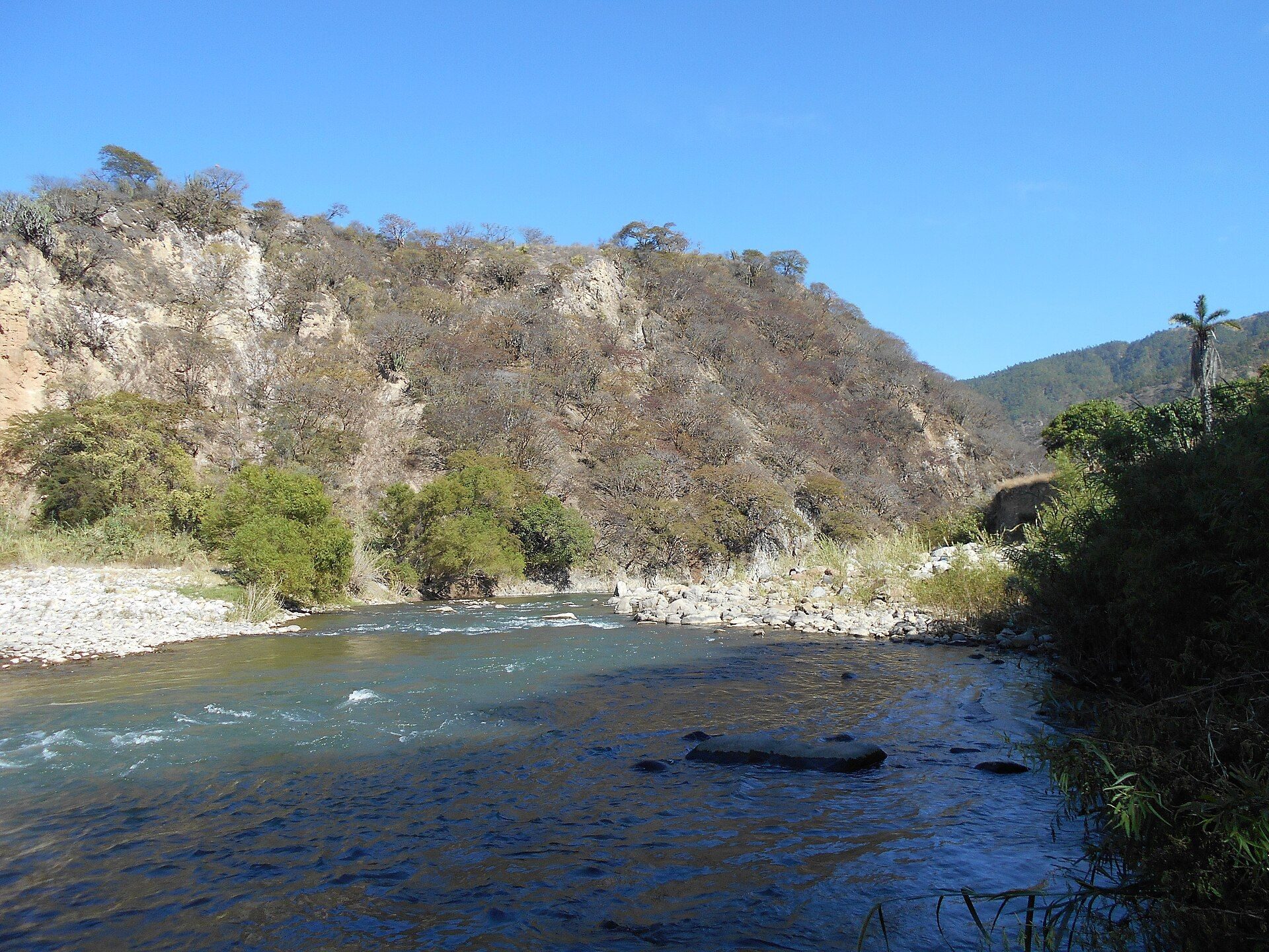
Chutixtiox occupies an arid ridge overlooking the Río Negro valley. Sheer cliffs more than 100 metres high descend toward the river on three sides, while a narrow land neck, about 5 metres wide, connects the site to a ridge extending for approximately 1.5 kilometres. Thorny acacias and cacti grow across the site. The settlement covers about 2 hectares and contains approximately 30 structures, with roughly half arranged around the main plaza. Most buildings follow the cardinal directions.
Defenses and Residential Areas
Fortifications
Natural cliffs and steep slopes provided much of the site’s protection, while a defensive wall strengthened the vulnerable approaches. On the north side, where the descent toward the river is gentler, a wall approximately 4 metres high runs from the hilltop down to the riverbank. On the northeast side, the upper 3 to 4 metres of the naturally steep slope were cut away to form a vertical drop.
The site was entered from the northwest, near the upper end of the defensive wall. A ditch cut across the connecting neck of land protected the approach from the adjacent ridge. These works combined the narrow access route, the altered slope, and the natural cliffs into a defensive boundary.
Residential Platforms
Numerous low residential platforms occupy the western terraces. Together with the structures grouped around the main plaza, they show how the settlement extended across the ridge beyond its civic core.
Main Plaza and Civic Buildings
Acropolis and Radial Pyramid
The civic core centers on an acropolis, a raised architectural terrace supporting important buildings. Its terrace rises about 4 metres above the surrounding level and is held by inset masonry retaining walls. Five stairways led to its upper surface. The masonry was built chiefly from cut schistose slabs coated with plaster, while a later building stage used dressed limestone blocks in some locations. Long buildings employed corbel vaults, roofs formed by masonry courses projecting inward until they meet or support a capstone.
A west-facing radial pyramid stands in the main plaza. Approximately 6.8 metres high, it has a stairway on each side. Its position on the acropolis and its radial arrangement differ in some respects from the typical settlement pattern at Q’umarkaj, although west-facing temples form part of the architectural comparison with the central K’iche’ region.
Flanking Complexes
Roughly symmetrical complexes stand to the north and south of the radial pyramid. Each contains a long council-house structure and a smaller shrine set between the eastern end of the long building and the radial temple. The shrines are approximately 3 metres high and each has a single west-facing stairway.
Each council-house structure contains one room on a basal platform, with benches along the rear and side walls. One of these buildings measures approximately 22 by 5 metres and stands on a platform about 32 by 12 metres. Structure 10 contained a rectangular, stone-lined tomb whose doorway was sealed with a stone slab. Structure 12 was a small shrine with doorways on all four sides.
Jaguar Sculptures
Excavation uncovered a well-preserved crouching-jaguar sculpture at the base of the stairway of Structure 3, one of the long buildings. A life-size stucco jaguar was also found buried with the deceased in a tomb beneath another long structure on the north side of the main plaza.
Ballcourt and Secondary Plaza
Ballcourt
The ballcourt lies beside the main plaza on a lower terrace and may have formed part of the plaza complex. A Maya ballcourt was a purpose-built space for the Mesoamerican ballgame, which had athletic, political, and religious significance. The court measures approximately 35 metres along its major axis and is oriented 15 to 17 degrees away from the north-south line. Its playing-area walls are nearly vertical, and the top of its eastern range is level with the adjoining floor of the main plaza.
Secondary Plaza Structure
A secondary plaza occupies the same level as the ballcourt. It contains an unusual long building with a sunken court, free-standing masonry walls, and a single room furnished with benches. Holes near the tops of the walls probably held wooden beams that supported a wooden roof.
Inside the long structure is a raised plaster ring approximately 5 centimetres high and 1 metre across. An altar stands beside the building, forming part of the architectural arrangement within the secondary plaza.