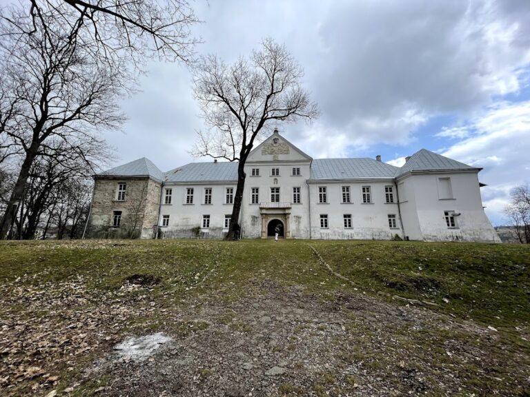
Chortkiv Castle (old): A Lost Defensive Fortress in Ukraine


Site at a Glance
- Rating
- 4.5
- Popularity
- Low
- Country
- Ukraine
- Primary era
- Early Modern
- Eras represented
- Early Modern
- Civilizations
- Polish–Lithuanian Commonwealth
- Site type
- Military
- Remains
- Wall
On this page5 sections
History
Chortkiv Castle (old) was a defensive structure in Chortkiv, Ukraine, forming part of the town’s wider system of fortifications. Its presence was recorded on a map by Guillaume de Beauplan, a French military engineer and cartographer who documented settlements and defenses in seventeenth-century Eastern Europe. An eighteenth-century map by von Mieg also depicts the area later occupied by the Dominican church and monastery.
Decline of the Castle Defenses
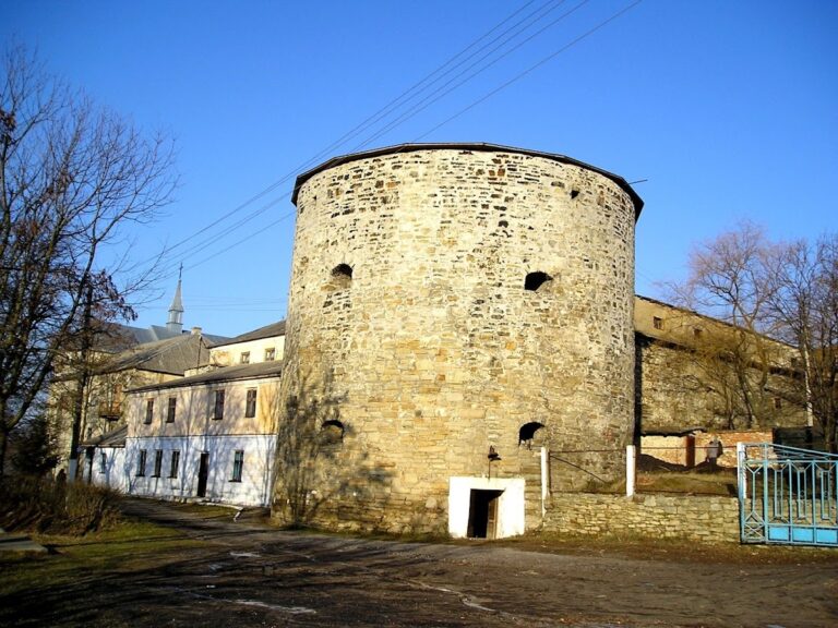
At the beginning of the seventeenth century, the castle’s rounded towers, known as rondels, had serious defensive weaknesses. Their walls could not withstand contemporary cannon fire, and the towers quickly deteriorated. The eastern tower was probably damaged during warfare in Chortkiv and was lost in the 1760s.
The Dominican Complex
From the beginning of the eighteenth century, the Dominican church and monastery may have operated within the castle structure. The Dominican Order is a Catholic religious order founded in the thirteenth century, with a tradition of religious life, preaching, and theological study. According to the regional historian Sadok Barącz, a wall surrounded the church and monastery in the early eighteenth century. Much of its material came from the dismantling of a castle at Shmankivtsi, built in 1625.
Construction of a Baroque church and an adjoining Dominican monastery began in the 1720s and 1730s. This building campaign destroyed the old castle, despite repeated appeals from the Eastern Galician Conservators Circle, a heritage-conservation body concerned with protecting historic monuments in Eastern Galicia, to the clergy and local authorities.
Remains
Defensive Enclosure
The surviving physical evidence is concentrated in the area of the present Dominican church. Von Mieg’s eighteenth-century map shows this enclosure as a square stone wall with round towers at its corners. A section of the defensive wall discovered in the western part of the church runs parallel to Stepana Bandera Street. Four loopholes, narrow openings through which defenders could fire weapons, remain partly preserved in the wall at intervals of about 2 metres. The castle’s other structures were destroyed by later construction, while the eastern tower had already been lost in the 1760s.