Charenza: A Slavic Stronghold and Princely Centre on Rügen
Site at a Glance
- Popularity
- Medium
- Country
- Germany
- Primary era
- Medieval
- Eras represented
- Medieval
- Civilizations
- Unclassified
- Site type
- Military
- Remains
- Castle
On this page9 sections
History
Origins and princely role
Charenza is the name of an 8th–9th-century Slavic stronghold identified with the Venz earthwork in the municipality of Trent on Rügen, Germany. Associated with the Rani, a West Slavic people of the island, it served as a princely seat and administrative centre of the Principality of Rugia, the medieval polity ruled by Rugian princes. Charenza also had a religious role, although Arkona was the Rani’s principal religious centre. Its secluded position made it suitable as a refuge or retreat.
The site’s identification has long been disputed. Garz was traditionally named as Charenza, but the 12th-century Knýtlinga saga, an Icelandic account of Danish rulers, distinguishes the two places in its account of 1168. The names also differ in origin: Garz derives from Old Polabian, a West Slavic language of the southern Baltic coast, Gardec, meaning a fortified place or castle. Charenza has been linked to Charęc-, a place associated with a man named Charęta. Another proposal connects the name to the Rani word Koreta, meaning root, and gives Korenitsa as an earlier form.
Conquest and political change in 1168
In 1168, Danish forces under King Valdemar I captured Arkona. Charenza surrendered without fighting several days later, after negotiations with the Rugian princes Tetzlav and Jaromar I. Its temples were destroyed, and mass baptisms followed as the population adopted Christianity. The princes kept their possessions but became Danish vassals. Absalon of Roskilde, a leading Danish church and political figure, promoted Danish authority on Rügen, including against the Pomeranian dukes Bogislaw and Casimir I, who had previously been Denmark’s allies.
Later medieval references
The Rugian princes later moved their principal seat to Rugard. By 1180, Rugard had become the principality’s administrative centre; it now lies within Bergen auf Rügen, a few kilometres southeast of Charenza. A Danish king funded twelve churches on Rügen, including a chapel at Charenza. In 1232, the chapel received the village of Gagern as a fief. Two years later, Prince Vitslav I issued a document at Charenza granting Stralsund Lübeck law, a system of municipal rights and law associated with Lübeck. The last known reference to Charenza, in 1237, names a priest called Alexander.
Rediscovery and identification
A manuscript from 1662 placed Charenza at Garz, and a 1725 record formally endorsed that identification. The record was signed by Garz mayors Matthias Wielandt and Markus Bünger and town judge Johann Jakob Stroth. In July 1803, Rügen writer Johann Jacob Grümbke described the Venz earthwork and suggested that a stronghold had stood there in Slavic times or earlier. He also recorded a local tradition that a narrow inlet had once reached the bank, allowing small boats to approach.
In 1868, after the 700th anniversary of Rügen’s Christianization, Prussian King Wilhelm I ordered closer investigation of the island’s fortifications at the suggestion of district president Carl Reinhold von Krassow. The commission included monument conservator Ferdinand von Quast, excavation director Georg Christian Friedrich Lisch, and Danish archaeologist Jens Jacob Asmussen Worsaae. Museum director Rudolf Baier prepared the report, while architect Karl Hammer made the drawings; von Krassow followed the work. In 1925, historian Alfred Haas examined Rügen’s earthworks but continued to identify Garz as Charenza. Studies published in 2004 and 2011 instead identify Charenza with Venz. The location also fits clues in Saxo Grammaticus’s Gesta Danorum, a history of Denmark; the 12th-century German chronicler Helmold of Bosau also mentions Charenza.
Remains
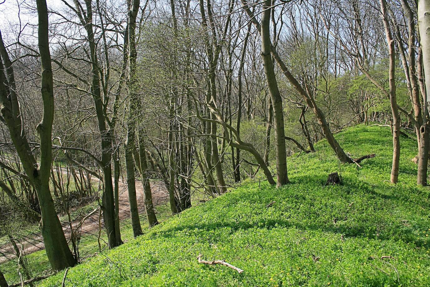
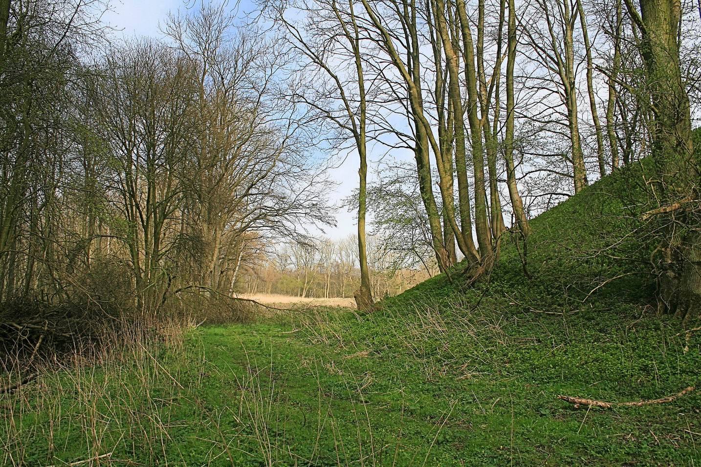
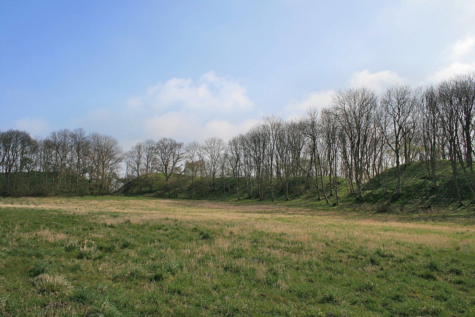
The Venz site is a lowland earthwork fortification, an enclosure formed by banks of raised earth. Its surviving rampart, or defensive bank, reaches up to 10 metres high, and the enclosed area covers about 25,000 square metres. The site lies about 1,500 metres from Neuendorfer Wiek, a side inlet of Breetzer Bodden. Surrounding meadows and marshes are about 2 metres above sea level, while the enclosed ground stands roughly 4–6 metres above it.
Enclosure and interior
Rampart and entrances
An 1868 description gives the enclosure an elongated, slightly rounded quadrilateral shape. The bank rises high on three sides but is low in the west, where a broad marsh formed a natural barrier. Meadows border the northern and southern sides, while firmer farmland lies to the east. At the time of that description, the enclosure had two openings. The one in the southwest, beside the marsh, was considered the likely original entrance; the eastern opening was thought to have been cut later to link the site with a nearby farm.
Interior and archaeological finds
A low strip of ground runs east to west near the northern bank and contains two marshy hollows that may have supplied water for people and livestock. South of them, a low gravel ridge crosses roughly through the centre of the enclosure. Pottery fragments and bones were found at several locations on the ridge and in the parallel lowland. The pottery decoration indicates a late period of Slavic culture, historically called Wendish; one fragment bears two wavy lines.
The Danish historian Saxo Grammaticus described closely spaced wooden houses of three storeys within the enclosure. In 1803, Grümbke thought the interior had been converted to a grain field.