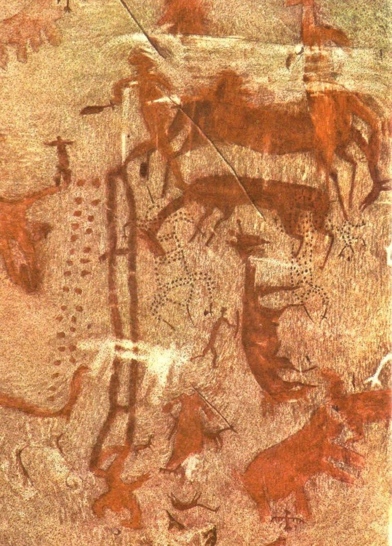
Cerro Baúl: A Wari Fortress and Ceremonial Center in Peru
Site at a Glance
- Popularity
- Medium
- Country
- Peru
- Primary era
- Medieval
- Eras represented
- Medieval
- Civilizations
- Wari
- Site type
- Military
- Remains
- Fort
On this page13 sections
History
Wari occupation and the Tiwanaku frontier
Cerro Baúl is a Wari political outpost and ceremonial center on a plateau in Peru’s Torata River valley, about 12 km north of Moquegua. The Wari, an Andean state centered near present-day Ayacucho, established the site in a region where Tiwanaku, a state centered near Lake Titicaca, also held influence. Part of the enclosure dates to AD 500 to 700, when the Wari made Cerro Baúl a fortress.
The Wari took control of Cerro Baúl and nearby Cerro Mejia by military force. At the same time, Wari and Tiwanaku communities occupied the Moquegua Valley frontier together. From about AD 600 to 1020, their relations appear to have been relatively peaceful, with shared styles reflecting cultural exchange.
Cerro Baúl also served as a regional center for obtaining mineral resources and agricultural produce, particularly maize for ceremonies. Goods were held temporarily before being sent to the Wari capital near present-day Ayacucho. The Wari built and maintained irrigation infrastructure, and nearby communities depended at least partly on water they managed.
Local occupation and Inca conquest
After the Wari and Tiwanaku civilizations declined around AD 1200, local villagers occupied the site, which probably continued to function as a fort. Chiribaya communities, part of a pre-Inca culture in southern Peru, lived in the region before the Inca conquest.
A colonial-era chronicler, Garcilaso de la Vega, recorded a tradition attributing the conquest to the Inca ruler Mayta Cápac. In this account, a siege lasted about 50 days, leaving the defenders short of food and water. They sent children to ask the Inca camp for mercy. The Incas reportedly gave the children food and sent them back with provisions, after which the defenders surrendered.
Evacuation, research, and continuing worship
The final evacuation involved brewing and drinking, feasting, and the breaking of drinking vessels. Buildings were burned, and several may have been deliberately damaged by their inhabitants before they left. The fortress was abandoned after a fire, although whether the blaze ended the resistance remains uncertain.
Regional archaeological mapping and investigation began in the late 20th century, with surveys recording more than 500 sites before researchers focused on Cerro Baúl. Excavation campaigns took place in 1989, 1993, 1997 to 1998, 2001 to 2002, 2004, 2006 to 2007, 2010, and 2012. The work revised an earlier interpretation that Tiwanaku occupation preceded Wari control and produced evidence consistent with an Inca siege and capture.
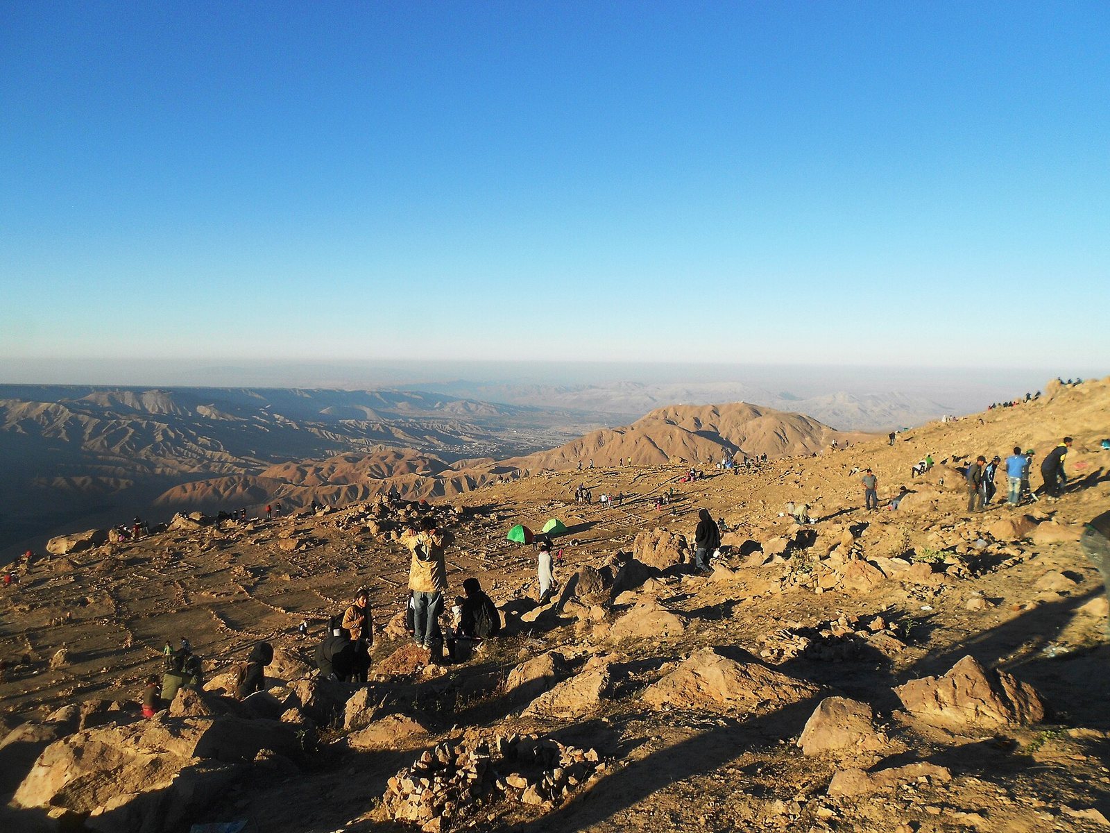
Cerro Baúl remains a place of worship for people from Moquegua. Offerings to Andean deities include coca, candles, herbs, and alcoholic drinks such as chicha, a fermented drink commonly made from maize. Some worshippers make miniature models of things they hope to obtain, including houses, as part of their petitions.
Remains
Summit setting and defenses
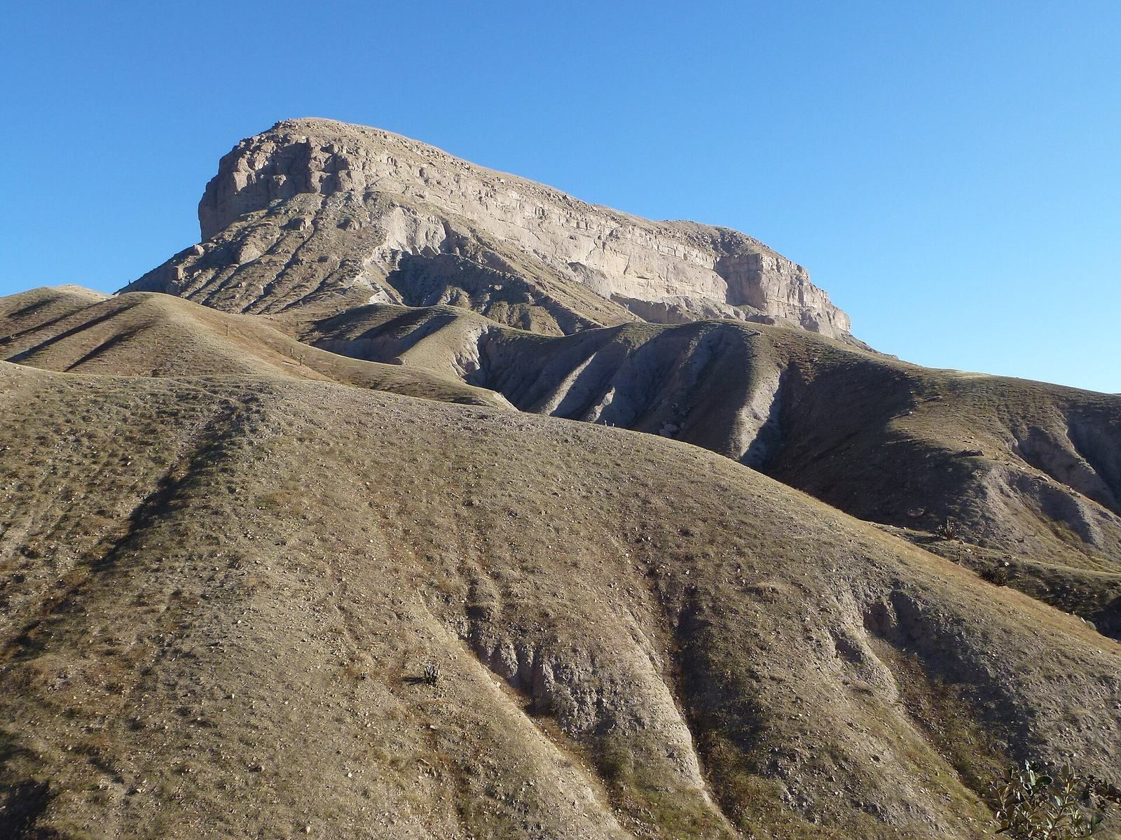
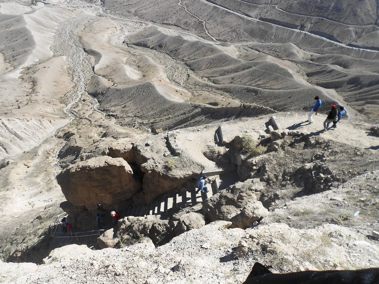
The ruined citadel covers about 8 hectares on the southeast side of the plateau summit, approximately 2,400 m above sea level. The flattened summit resembles a chest or trunk, the meaning of the Spanish name Baúl. Steep, rocky slopes make access difficult, and a single narrow, winding route climbs to the summit. Along it, old defensive walls and stone escarpments provided positions from which attackers could be repelled.
Citadel buildings
Temples and ceremonial core
The summit’s buildings include plazas, courtyards, corridors, and defensive walls, with plans ranging from rectangular and quadrangular to circular and D-shaped. Two D-shaped temples in Wari style stood in the eastern and central parts of the site. The central sector appears to have formed the ceremonial core.
Residential and administrative quarters
The western sector included two-storey elite dwellings, while one-storey houses occupied other parts of the summit. An eastern residential area has been interpreted as an artisans’ quarter, and homes and craft areas also extended onto the slopes. A common layout placed a courtyard-like plaza between substantial stone halls. These halls included residences for governors and wealthy residents, government offices, and beer houses used for official ceremonies and feasts. Dwellings were commonly single-room, single-storey buildings bordered by substantial stone walls.
Water and cultivation
A canal about 10 km long carried water from the Torata River through the pass between Cerro Baúl and Cerro Mejia. It then divided to irrigate terraces on both hills. The terraces supported fields and gardens used by people living at the site.
Storage and archaeological finds
Pits and grinding tools
Large, deep pits around the citadel may have served as granaries or water cisterns. Heavy stone grinding tools, each weighing more than 45 kg, have been found across the site. They may have been used to prepare food or grind copper.
Artifacts and cultural exchange
Pottery fragments in Tiwanaku style were scattered across the site, and turquoise and lapis lazuli were also found there. A ceremonial cup combining Wari and Tiwanaku styles came from the Wari’s sacred offerings and reflects shared material traditions. Projectile points and flakes of obsidian, a volcanic glass, as well as rhyolite and quartzite, two types of rock, support the interpretation that the Wari took control of Cerro Baúl and Cerro Mejia by force.