Lorch Roman Fort: A Roman Frontier Garrison in Germany
Site at a Glance
- Popularity
- Low
- Country
- Germany
- Primary era
- Classical
- Eras represented
- Classical, Medieval
- Civilizations
- Roman
- Site type
- Military
- Remains
- Fort
On this page13 sections
History
Construction and Roman service
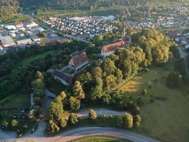
Lorch Roman Fort was a Roman military installation in central Lorch, Germany, probably built around AD 150/160. It stood near the frontier between the neighboring Roman provinces of Germania Superior and Raetia, and was the last large military post in Germania Superior before Raetia began a few kilometres to the east.
The garrison was probably a partly mounted auxiliary cohort, a unit combining infantry and cavalry whose soldiers served outside the Roman legions. Its precise identity is uncertain. A cohort of this kind had an effective strength of about 480 men, roughly a third of them cavalry. The unit may have been transferred from Köngen after that fort was probably abandoned around AD 159. As the frontier advanced, older forts could become isolated and militarily redundant, prompting their garrisons to move forward. The transfer to Lorch may have followed the Roman road connecting the forts.
Roman occupation at Lorch continued until about AD 260.
Post-Roman use and investigation
A church dedicated to the Holy Cross was built inside the former fort. It is archaeologically attested from the ninth or tenth century and was first mentioned in 1140, forming part of the site’s later use.
Roman activity at Lorch drew attention in the mid-nineteenth century. The Imperial Limes Commission, which investigated Roman frontier remains in Germany, began work there in 1893 under its local sector commissioner, army major Heinrich Steimle. Sewer construction enabled further investigations in 1895/96, when sections of the fort’s perimeter wall were recorded. Part of a burial ground was uncovered in 1954. The first excavation within the fort followed in 1986/87, during construction of an underground car park between Kirchstraße and the town hall. Work in the southeast quarter revealed evidence about the garrison’s layout. Medieval and modern activity had disturbed some Roman remains.
The fort and related archaeological remains form part of the Upper German-Raetian Limes, Rome’s frontier system in this region. The Limes has been a UNESCO World Heritage Site since 2005.
Remains
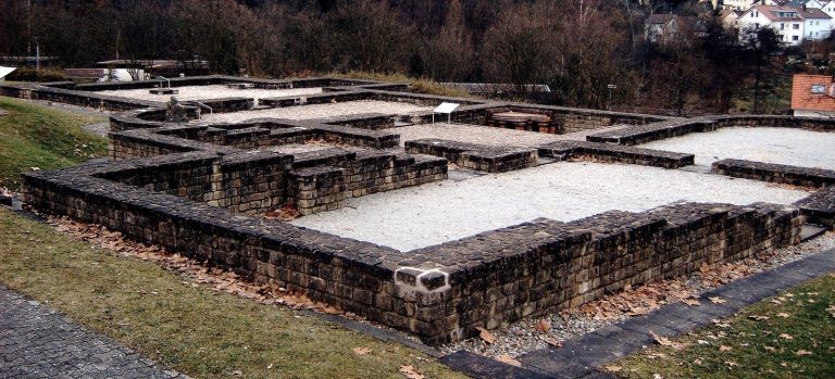
The fort covered about 2.47 hectares and had an almost square plan, with its long and short axes aligned nearly east to west and north to south. Its east and west sides measured 153.5 and 154 metres; the north and south sides measured 158.4 and 162.8 metres. Rounded corners gave the stone enclosure a playing-card outline. Walls up to 1.3 metres thick had carefully worked facings of local sandstone, as much as 0.3 metres wide. The stone construction appears to have followed a standardized plan. A slight shift in the measured layout may reflect errors in the surveying instruments used at the time. The fort now lies almost entirely beneath modern construction.
Landscape and frontier roads
The fort stood on the north side of the west-to-east Rems Valley, where a deep hollow runs north to south. An ancient long-distance road from Cannstatt followed the valley. North of it, a timber frontier barrier crossed higher ground and turned sharply east near Lorch.
Gates and bath
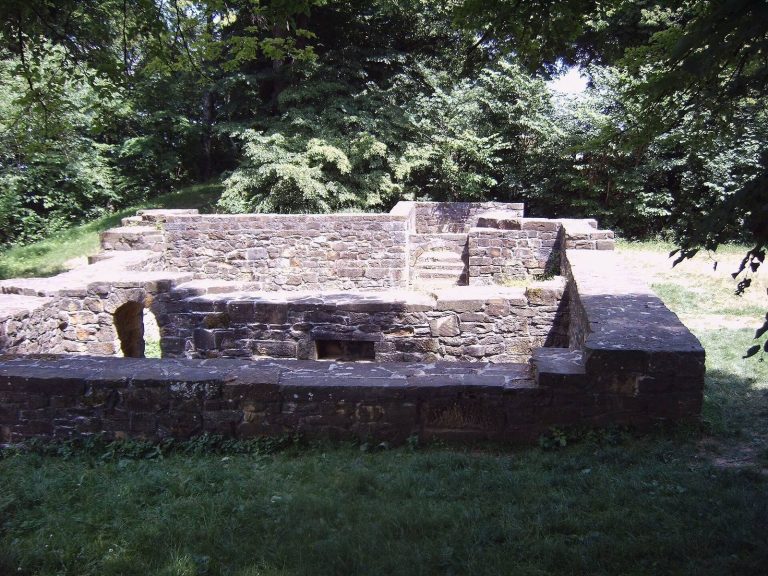
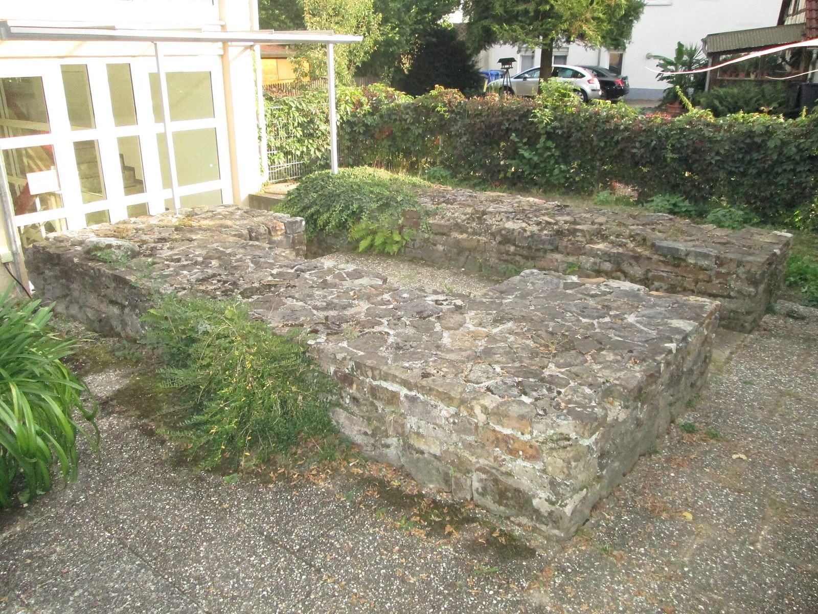
The known west gate had two passages flanked by a pair of towers. The foundation of its northern tower remains visible. The west entrance is thought to have been the main gate, facing toward Bad Cannstatt, although another proposed orientation places the fort’s principal front to the east, toward Raetia. The main front’s position remains uncertain. The bath was probably located outside the eastern rear gate.
Buildings within the fort
Headquarters
Small portions of the fort’s headquarters building have been exposed, beneath the area now occupied by a cemetery. A Roman wall inside the Holy Cross Church may also have belonged to the headquarters.
Barracks
At least two timber barracks were found in the southeast quarter. Their long sides ran almost exactly north to south, with the head buildings at the northern ends. These blocks housed centurions and may also have accommodated other officers, noncommissioned officers and staff. A main camp street met the barracks at this end; an excavation plan labels it the main approach street, reflecting the proposed east-facing orientation. Brick-and-tile hearths served the groups of soldiers sharing each barrack’s living space, and some are well preserved.
Holy Cross Church
The church stands roughly in the centre of the fort, in front of the north gate. A Roman wall was found within the building, and parts of its masonry remain standing. The wall may have belonged to the fort’s headquarters.
Civilian settlement
Traces of a civilian settlement associated with the fort have been found east and west of the enclosure. Its buildings stood on narrow plots, with their gables facing the roads leading out from the fort. Pottery from residential areas dates to the second and third centuries. Finds also include a small sandstone relief of Epona, a Celtic goddess associated with horses and the home, and an inscription referring to a pottery merchant.
Burial ground
About 500 metres southwest of the garrison, remains of one of the two burial grounds included urns and vessels placed with the dead as grave goods.
Small finds
A small bronze pendant found at Lorch bears a punched inscription and is shaped like a Roman votive plaque. Near the fort, a 16.5-centimetre bronze model of a second-century victory trophy was found. Such a trophy represented captured weapons and military equipment; the model is now in the Limes Museum in Aalen. Excavated objects also include a bronze fitting decorated with a Gorgon’s head and numerous small finds, among them iron and bronze sword-belt fittings.