Castillo San Cristóbal: Spanish Fortress Defending Old San Juan
Site at a Glance
- Country
- United States
- Primary era
- Early Modern
- Eras represented
- Early Modern, Modern
- Civilizations
- Spanish
- Site type
- Military
- Remains
- Fort
On this page15 sections
History
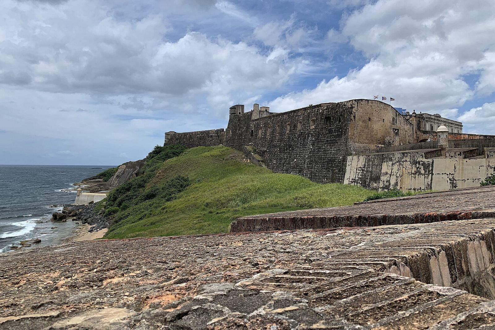
Castillo San Cristóbal is a Spanish fortification in San Juan, Puerto Rico, in the United States, on the northern coast of San Juan Islet. Developed to protect Old San Juan from a land assault and guard the coast, it took its greatest extent during an eighteenth-century expansion of the island’s defenses, which helped repel an English invasion in 1797.
Spanish defenses and expansion
Spanish defenses grew after English attacks in 1598 and a Dutch attack in 1625. The fortress was intended chiefly to protect Old San Juan from an assault by land. Together with El Morro, La Fortaleza, and other defenses, it formed part of the protection of Puerto Rico against rival powers.
The hill was once called Cerro de la Horca, or “Gallows Hill,” and Cerro del Quemadero, or “Hill of the Burning Ground.” It later took the name Cerro de San Cristóbal in honor of Saint Christopher, the Christian patron of travelers.
In 1764, King Charles III ordered Field Marshal Alexander O’Reilly and engineers Tomás O’Daly and Juan Francisco Mestre to strengthen Puerto Rico’s defenses. Their plans anticipated war with England and coincided with the English siege of Havana. The works expanded the fort to its greatest extent in 1783, while the wider defensive reforms were completed by 1788.
Invasion, imprisonment, and mutiny
In 1797, the defenses helped turn back an English invasion led by British General Ralph Abercromby, whose force numbered about 7,000 soldiers. In 1824, Puerto Rican independence advocate María de las Mercedes Barbudo was imprisoned at the fort while awaiting exile to Cuba. She had planned an uprising in coordination with the Venezuelan government led by Simón Bolívar.
A mutiny against the Spanish crown broke out at the fort in 1855. The mutineers aimed its cannons toward the city, causing panic.
Demolition and transfer to American control
In 1897, about one-third of the fortification was demolished, including the Santiago entrance section. The removal was intended to ease movement into and out of the walled city and allow further development of the port.
During the Spanish-American War in 1898, the U.S. Navy bombarded the fort. Admiral William T. Sampson did not attempt a landing. Two months later, U.S. forces under General Nelson A. Miles advanced toward San Juan, but a ceasefire was agreed and the attack did not proceed. The Treaty of Paris, signed on December 10, 1898, ended the war and placed Puerto Rico under American control.
Twentieth-century use and preservation
During World War II, the fort was adapted for wartime use. It passed to the U.S. National Park Service in 1961. In 1983, it became part of the UNESCO World Heritage property La Fortaleza and San Juan National Historic Site.
Remains
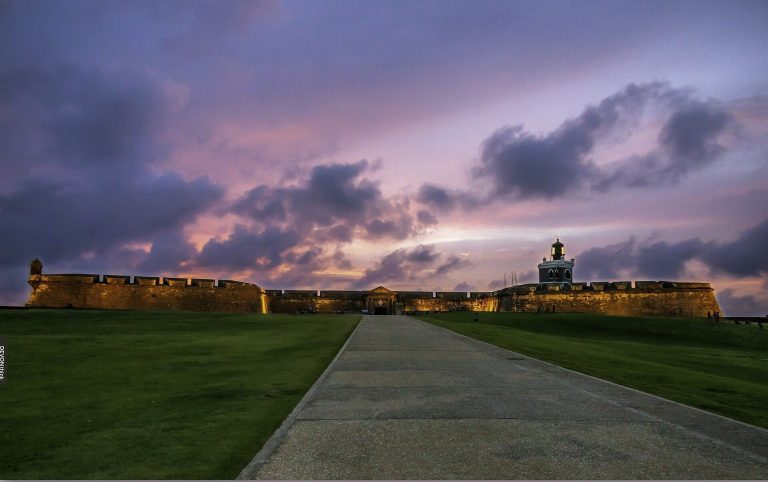
The three-level fort stands on a hill overlooking the Atlantic and the land entrance to Old San Juan. Its bastion-fort design uses projecting defensive works to protect the walls, alongside classical architectural features. The site rises 150 feet (46 metres) above the shoreline and covered about 27 acres (11 hectares) at its greatest extent. Its construction materials include sandstone, brick, sand, and clay.
Outer defenses and entrances
Early position and high ground
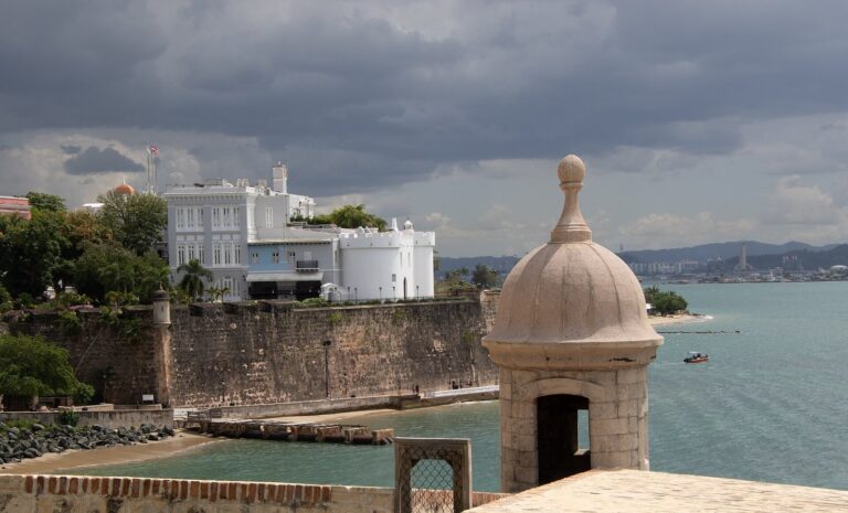
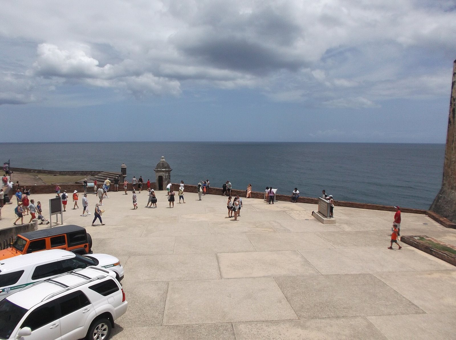
The first defensive work in the area was the Fortín del Espigón, built in 1634 and also called the Garita del Diablo, or “Devil’s Sentry Box.” A garita is a small sentry post, and this one is among the oldest parts of the fort. Legends tell of soldiers frequently disappearing from it.
By 1765, the defenses included a hornwork, an outer work with projecting arms joined by a wall, protected by a dry moat that continued the line of the city walls. At the highest point stood the Caballero de San Miguel, a raised platform for artillery. Its third-level battlements are associated with a curtain wall, the defensive wall linking separate fortifications.
Santiago entrance works
The Revellín de Santiago, an outer defensive work placed before a main wall, and the Bastión de Santiago protected the entrances with two gates and drawbridges. The surviving curtain wall marks the former connection to the portion of the fortification that was demolished.
Outer works and sea-facing defenses
The Revellín de San Carlos and the Contraguardia de la Trinidad formed part of the outer defenses. Farther east stood the El Abanico fortification and the sea-facing Batería de la Princesa. The complex also includes the Batería y Plaza de Santa Teresa and a glacis, a sloping defensive bank.
Approach and moat
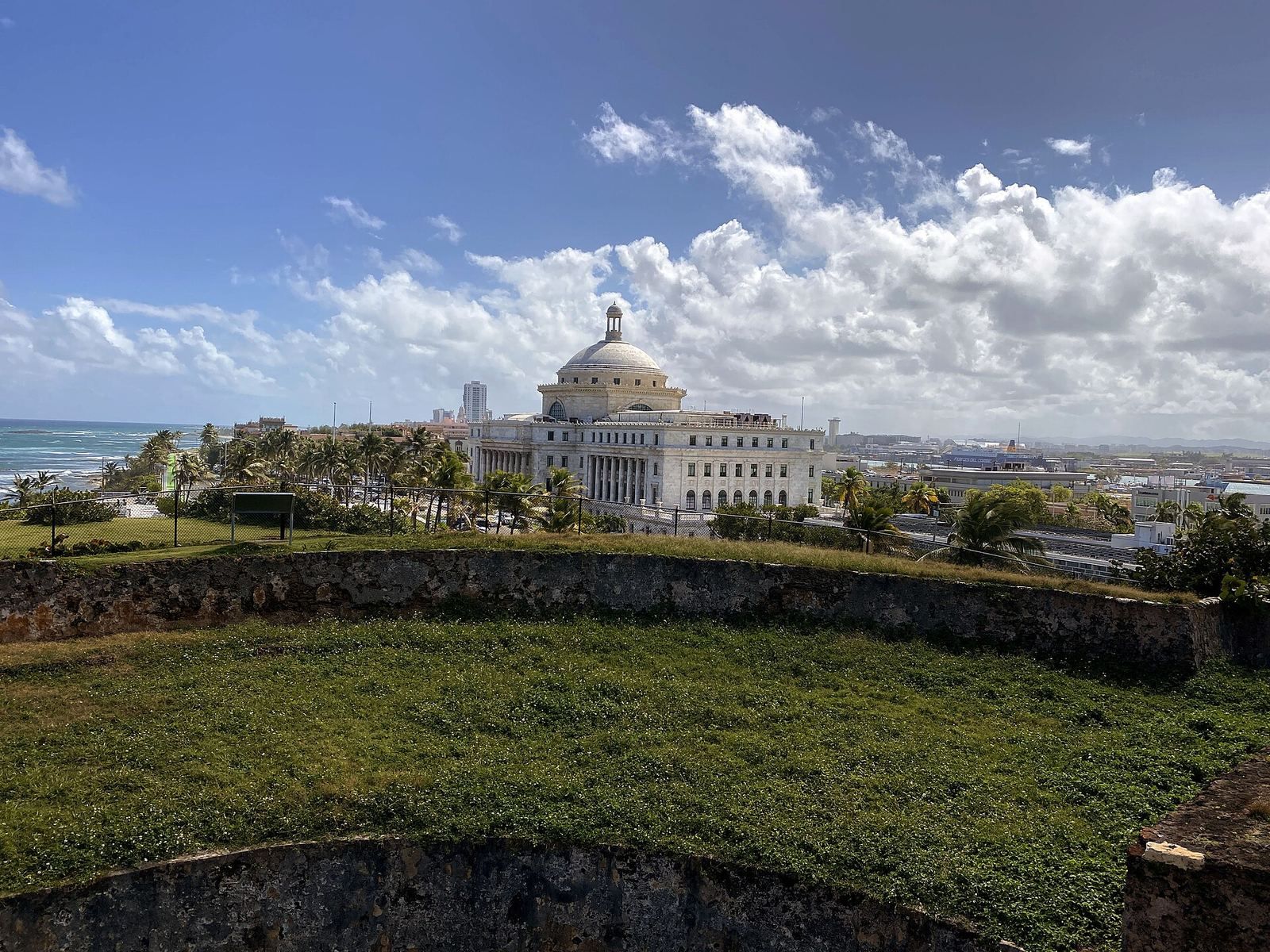
A ramped, gated entrance leads from Plaza Norzagaray into the complex. Deep dry moats form part of the defenses, and the fort’s artillery platform, walls, and outer works were arranged within this system of protected approaches.
Courtyard and military features
Courtyard and cisterns
The main courtyard includes the Plaza de Armas, the fort’s central parade ground. Five cisterns beneath it collected rainwater. Each is described as 24 feet high, 17 feet wide, and 57 feet long, with a combined capacity of up to 2,710,354 litres, enough to sustain the fort for a year.
Tunnels and later defenses
A guardhouse and an extensive network of tunnels connect sections of the fort. Two observation towers face the sea. A large concrete bunker occupies the dry moat between the fort and the San Carlos Ravelin, while an artillery emplacement built by the U.S. Army during World War II forms another part of the complex.
Objects and displays
The fort includes mortar bombs weighing 90 kilograms. Displays feature a troop barracks and military clothing, while a scale model shows the complex before the Santiago entrance works were demolished.