Calico Early Man Site: A Disputed Archaeological Site in California
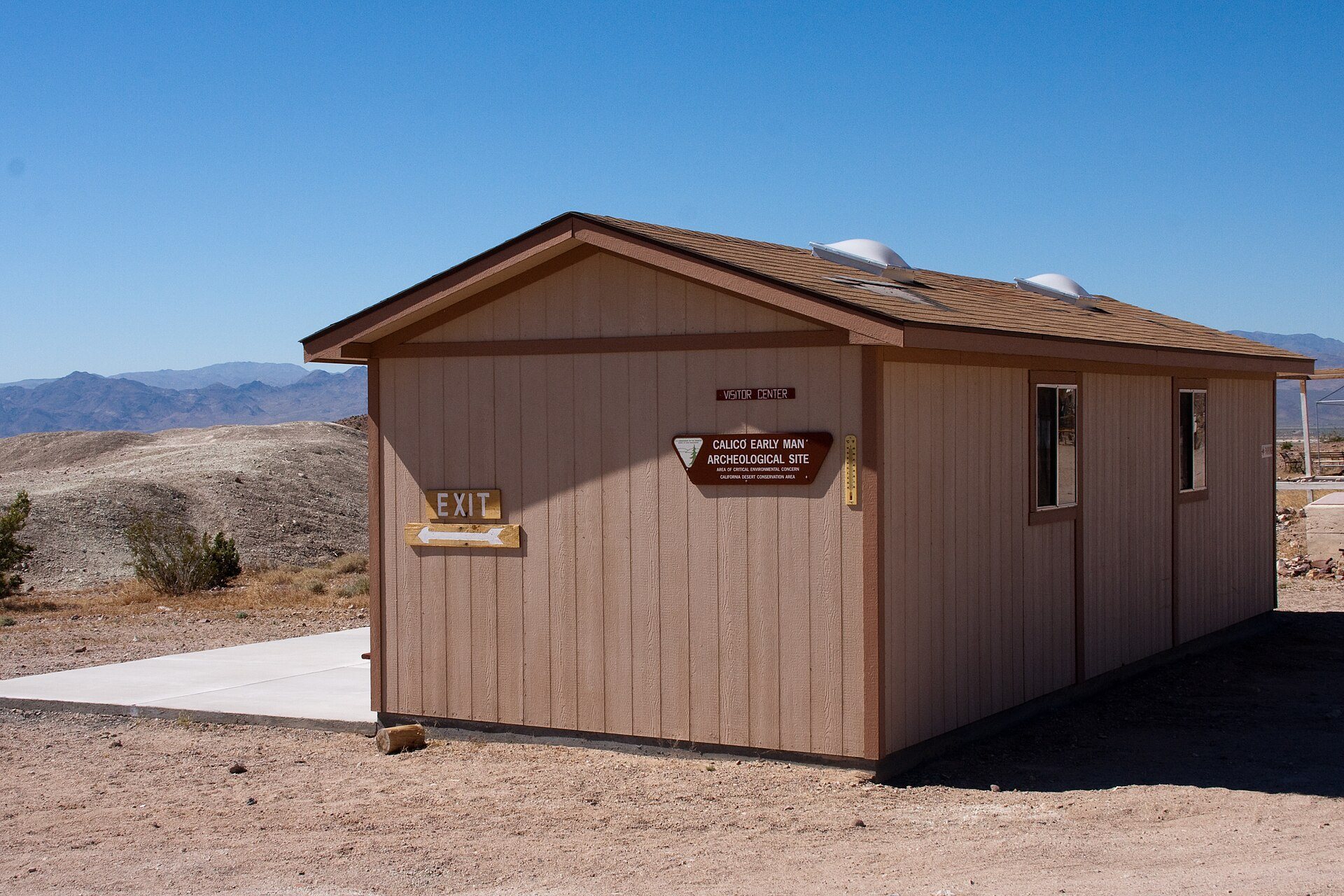
Site at a Glance
- Rating
- 3.3
- Popularity
- Very Low
- Country
- United States
- Primary era
- Unclassified
- Eras represented
- Unclassified
- Civilizations
- Unclassified
- Site type
- Civic
On this page12 sections
History
The Pleistocene landscape
The Calico Early Man Site is a disputed archaeological site near Yermo, California, in the United States. It lies in the former Lake Manix basin of the central Mojave Desert, within a landscape shaped during the Pleistocene, the geological epoch that lasted from about 2.6 million to 11,700 years ago. A freshwater lake formed near the site approximately 400,000 to 500,000 years ago and persisted until the late Pleistocene. At its highest level, Lake Manix covered about 236 square kilometres and reached roughly 543 metres above sea level.
The lake probably drained catastrophically about 18,100 years ago, either because river inflow increased or because of movement along the Manix Fault. Mountain building, lake formation, sediment accumulation, erosion, faulting, folding, and later drainage exposed deposits that would otherwise have remained deeply buried. The Manix Basin therefore preserves more than 350,000 years of Quaternary history.
Discovery and excavation
In 1959, archaeologist Ruth DeEtte Simpson showed Louis Leakey stone flakes and possible scrapers from the Calico Hills. Leakey, a British-Kenyan paleoanthropologist known for research into human evolution and early archaeological sites, considered the discovery important because he believed that the distribution and diversity of Native American languages required a much longer period of development than the then-accepted 12,000 years.
Leakey and Simpson began systematic excavations in the early 1960s, with work documented from 1963 onward. Simpson directed the excavation program while also serving as director of the county museum. Their excavation area was stratigraphically separate from a verified 10,000-year-old Paleoindian site, meaning a site associated with early human cultures of the late Pleistocene in the Americas.
The debate over human activity
Leakey and Simpson concluded that some of the stones were human-made artifacts more than 100,000 years old. Such an interpretation would place human activity in North America far earlier than generally accepted. Archaeologist Jeffrey Goodman also argued that the objects had been deliberately made and proposed that some could be as old as 500,000 years.
Most scientists rejected these conclusions. In 1970, criticism of the finds led sponsoring organizations to suspend excavation subsidies, although investigations continued. Researchers identified approximately 4,000 lithic pieces and 6,000 waste flakes. Estimates for the number of possible tools reached as high as 60,000, while approximately 12,000 excavated tools were identified.
Geologist Vance Haynes argued in 1973 that the objects were geofacts, naturally fractured or flaked stones that can resemble human-made artifacts. Other studies proposed that tectonic stress, weathering, stream and mudflow impacts, pressure on buried cobbles, and repeated erosion and redeposition could have produced the apparent flaking. Most archaeologists now interpret the subsurface objects as geofacts rather than deliberate artifacts. The extreme proposed antiquity, unusually large number of alleged tools, and natural explanations advanced by Duvall, Venner, Payen, and others remain central to the debate.
Louis Leakey continued to visit the site several times a year until his death in 1972. The excavations damaged his academic reputation, and Mary Leakey rejected his interpretation. Some specimens are still treated as possible artifacts and have been cataloged for thermoluminescence dating, a method that estimates when mineral grains were last exposed to sufficient heat.
Later management and recognition
After Leakey’s death, management passed to the Bureau of Land Management, the U.S. federal agency responsible for administering extensive areas of public land, and the area was opened to the public. The Calico Mountains Archaeological District was listed on the National Register of Historic Places, the federal inventory of properties recognized for historical or archaeological importance, on March 30, 1973. The listed district covers 100.5 acres, or approximately 40.7 hectares.
Remains
Geological setting and fossil deposits
The site lies on and within late-middle-Pleistocene fanglomerates, cemented deposits of poorly sorted debris laid down by debris flows or alluvial fans. These formations are known as the Calico Hills, Yermo Hills, or Yermo Formation. They occur east of the Calico Peaks and Calico Mountains, within the former Lake Manix basin and near the lower Mojave Valley. Younger alluvial terraces, which are older river or floodplain deposits left above a later stream channel, also contain lithic material.
Pleistocene lake, river, and alluvial sediments of the Manix Formation contain fossils of camel, horse, mammoth, saber-toothed cat, dire wolf, short-faced bear, coyote, flamingo, pelican, eagle, swan, geese, mallard, ruddy duck, canvasback duck, double-crested cormorant, grebe, crane, gull, and stork. The fossil-bearing deposits range from approximately 20,000 to more than 350,000 years old.
Lithic assemblages
Rock Wren tools
One Pleistocene component consists of large bifacial Rock Wren tools, stone implements worked on both faces. They come from an alluvial deposit dated to 14,400 ± 2,200 years ago. This assemblage is distinct from the much older objects attributed to the alleged Calico industry.
Lake Manix material
A second component is the Lake Manix lithic industry, associated with the former lakeshore. Thousands of stones resembling prehistoric tools have been found on the surface and as deep as 8 metres below it. The broader assemblage includes possible tools, preforms, lithic cores, technical flakes, angular waste, retouched lamellar flakes with notches, and some possible choppers. A lithic core is a stone from which flakes were removed, while the flakes and other waste produced during stone working are commonly called debitage.
Alleged Calico industry
The alleged Calico industry is embedded in middle-Pleistocene alluvial deposits below a soil profile dated to about 100,000 years ago. Its material is mainly chalcedony, although the industry has also been described as consisting largely of flint. Proposed dates include approximately 135,000 years by thermoluminescence, about 200,000 years by uranium-series analysis, and 197,000 ± 20,000 years by beryllium-10 surface-exposure dating. These dates, like the claim that the objects were made by humans, remain disputed.
A stone from the Master Pit produced a date of more than 200,000 years, although contamination from other soil elements may have affected the result. Some specimens considered potential artifacts have been cataloged and submitted for further thermoluminescence dating. Other pieces have been identified as geofacts, leaving the character of the assemblage unresolved.
Holocene traces
Later Holocene remains include petroglyphs and segments of trails. The Holocene is the current geological epoch. These traces are probably associated with local outcrops of high-quality siliceous rock, primarily chalcedony within freshwater limestone, and may relate to the transport of stone. Their presence adds a later human-use phase to a landscape whose principal archaeological controversy concerns the much older lithic material.