Burgaičių Hillforts: A Group of Three Archaeological Sites in Lithuania
Site at a Glance
- Rating
- 5
- Popularity
- Very Low
- Country
- Lithuania
- Primary era
- Medieval
- Eras represented
- Classical, Medieval, Modern
- Civilizations
- Unclassified
- Site type
- Military
- Remains
- Fort
On this page7 sections
History
The Burgaičių Hillforts are three elevated sites associated with settlement and defense near Burgaičiai in Šakiai District Municipality, Lithuania. They belong to the Sudargas hillfort complex on the left bank of the Nemunas River.
Early use
Finds place activity at Vorpilis in the first millennium AD, possibly continuing into the early second millennium. Pilaitė is thought to have been established as a defensive position in the middle of the first millennium AD. It served as an outer defense linked to Vorpilis and was abandoned in the fourteenth century.
Investigation and later changes
Local-history researcher Juozapas Radziukynas first referred to the hillforts in the early twentieth century. They were surveyed in 1955 on the initiative of historian and archaeologist Petras Tarasenkas. The Institute of Lithuanian History began exploratory archaeological work in 1970, followed by further investigations in 2005–08 and 2012.
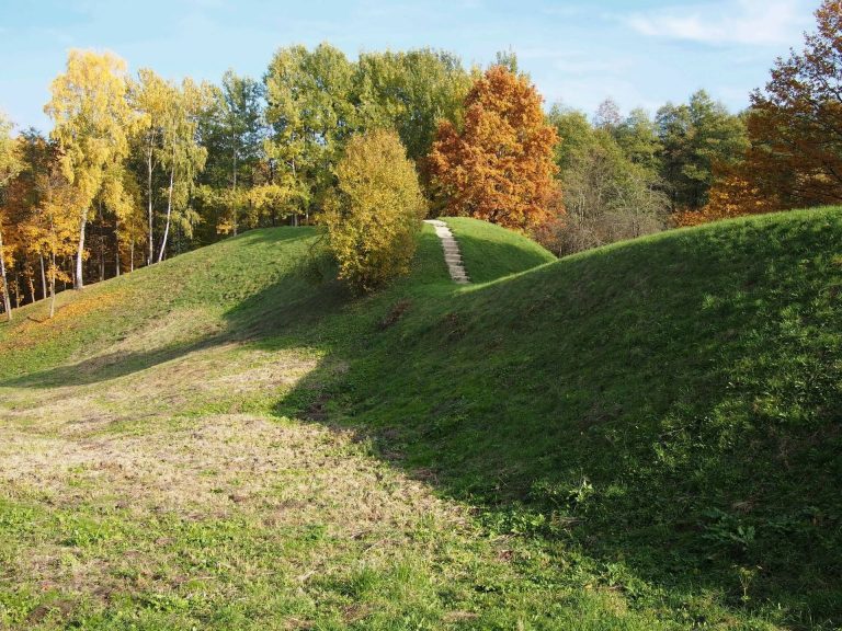
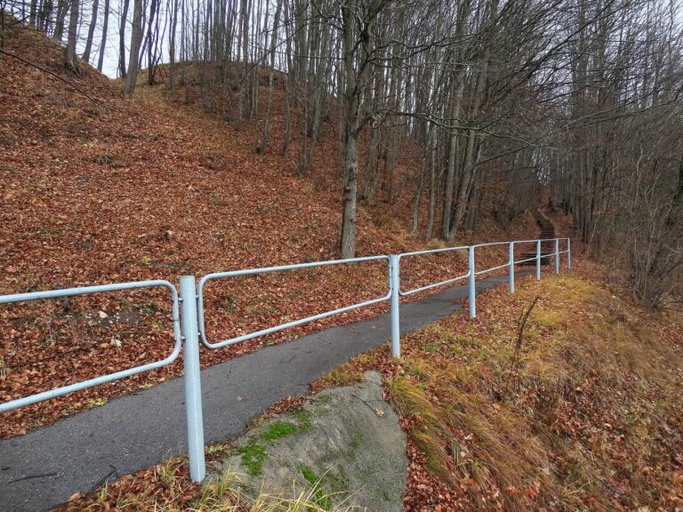
After this work, the areas were cleared, some trees were thinned, and paths and stairs were installed. Investigations at Burgaičių Hillfort III, also called Bevardis, took place in 2005–06; a process to withdraw its state-protected status began in 2015. In 2007, a memorial was unveiled to mark 690 years since the last Sudargas castle was burned.
Remains
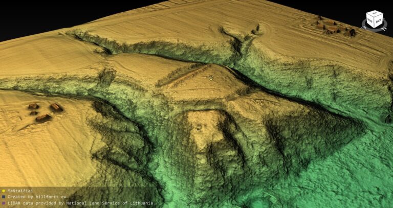
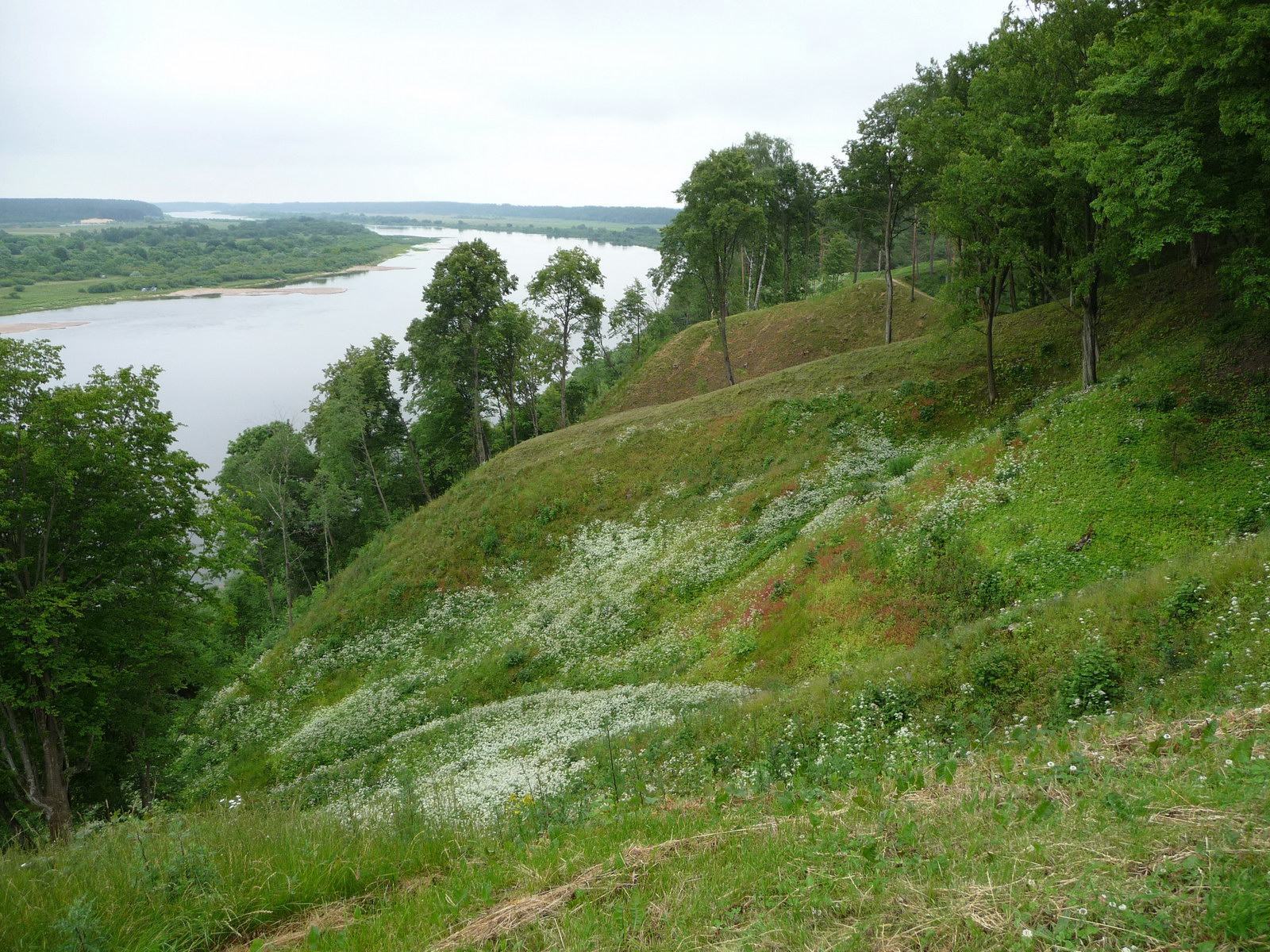
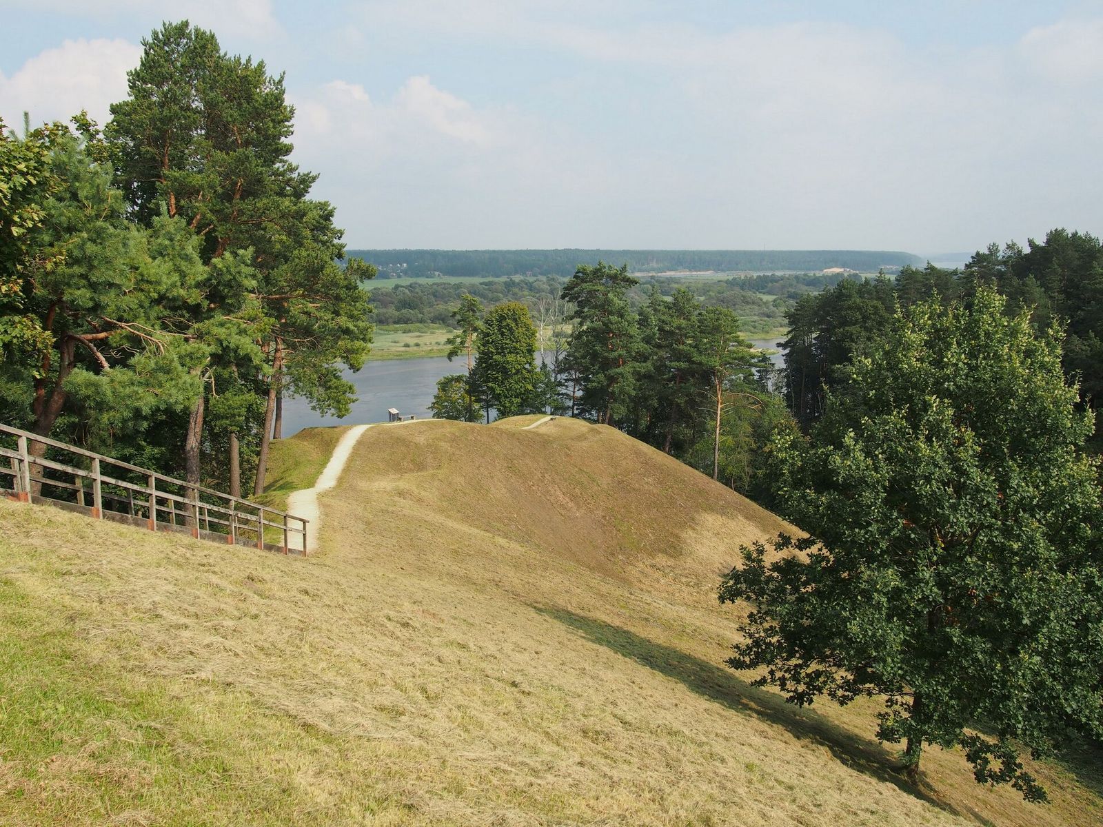
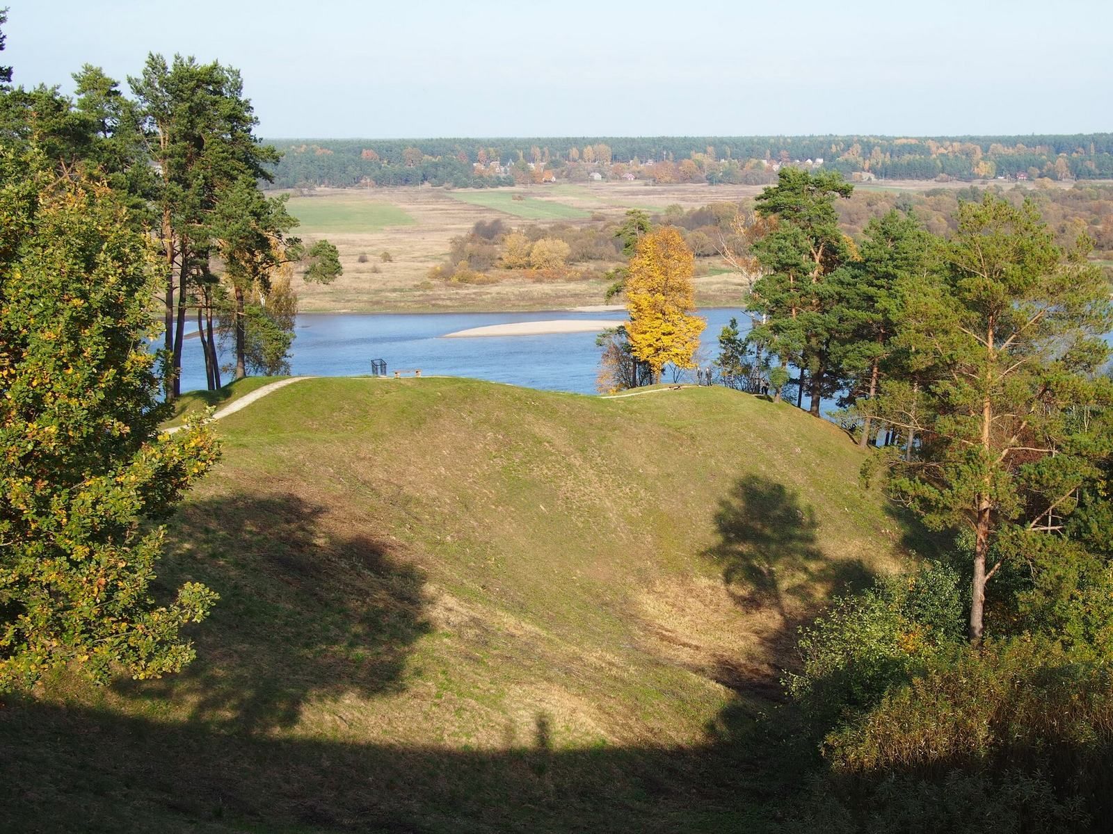
The three sites occupy elevated ground near the Nemunas. Pilaitė lies southeast of Vorpilis, and Burgaičių Hillfort III is farther southeast. Their physical remains include steep slopes, shaped summits, ditches and a restored rampart; Pilaitė occupies two separate promontories.
Vorpilis
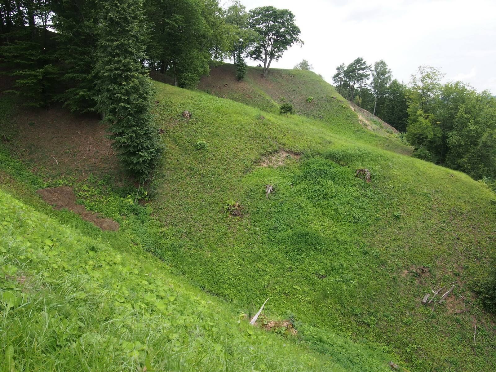
Vorpilis has steep slopes approximately 12 to 40 metres high and an irregular oval summit about 35 metres long and up to 30 metres wide. Ploughing and Second World War trenches disturbed the summit. A slightly curved rampart runs along its southern edge, measuring about 30 metres long, 12 metres wide and up to 2 metres high; it has been rebuilt and tidied. The defenses also include an earlier ditch, 2 metres wide and 1 metre deep, and a later ditch 4 to 6 metres wide and up to 2 metres deep, restored after the 2006–08 investigations. Settlement deposits on the summit contained pottery, iron-smelting waste, animal bones and plaster fragments. Five postholes were found in the natural ground below.
Pilaitė
Pilaitė consists of two promontories divided by deep ravines. The first measures about 70 by 70 metres; ravines with small streams border it to the east, south and west, while the Nemunas lies to the north. A narrow ridge, about 30 metres long, connects its southwestern side to fields as much as 15 metres higher. The second promontory measures about 110 by 85 metres, is also surrounded by ravines, and links to higher ground by a ridge about 60 metres long. Pilaitė’s steep slopes rise approximately 12 to 35 metres. Its irregular triangular summit is about 15 metres long and 10 metres wide. At the southern edge stands a cone-shaped mound, probably natural, about 2.5 metres high, 14 metres wide and 10 metres long. Excavations recovered animal bones, clay plaster, burnt stones, iron slag and pottery sherds.
Burgaičių Hillfort III
Also known as Bevardis, this site is a long descent from high ground at Sudargas almost to the Nemunas channel. Stairs lead down the slope. Near the approach stands a memorial created by sculptors Vidas and Aldas Cikanos. Its title, translated into English, is “In Memory of the Defenders of Sudargas Castle, 1317–2007.”