Bidar Fort: A Bahmani Sultanate Fortress in India
Site at a Glance
- Country
- India
- Primary era
- Medieval
- Eras represented
- Medieval
- Civilizations
- Deccan Sultanates
- Site type
- Military
- Remains
- Fort
On this page17 sections
History
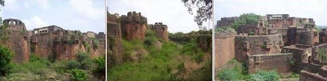
Bidar Fort, rebuilt by the Bahmani rulers from 1429 to 1432, stands in the eastern part of Bidar’s old city in India. Its reconstruction followed Bidar’s elevation as the Bahmani capital in 1427 and accompanied a wider program of royal and religious building.
Earlier Fort and Bahmani Capital
Bidar had an older fort before the Bahmani period. In 1321–22, Tughlaq prince Ulugh Khan captured it from the Kakatiya dynasty. He later ruled Delhi as Muhammad bin Tughluq. After the Bahmani Sultanate, a medieval Deccan kingdom, was established in 1347, Sultan Ala-ud-Din Bahman Shah occupied Bidar.
In 1427, Sultan Ahmad Shah I transferred the Bahmani capital from Gulbarga, now Kalaburagi, to Bidar. Work on the fort’s reconstruction around the earlier fortifications began in 1429 and ended in 1432. The building program also included mosques, palaces, gardens, and a religious school.
Changing Deccan and Mughal Rule
The fort experienced the decline of the Bahmani dynasty and the rise of five successor sultanates in the Deccan. It was captured by the Barid Shahi and Adil Shahi dynasties before the independent Bijapur Sultanate took it in 1619–20. Mughal forces under Emperor Aurangzeb captured Bidar during a blockade in 1657; the fort became part of the Mughal Empire in 1686.
Asaf Jahi Rule and Modern Recognition
Bidar became part of the Asaf Jahi Kingdom of the Nizams in 1724. Mir Sa’id Muhammad Khan, known as Salabath Jung, ruled from the fort between 1751 and 1762. His brother, Mir Nizam Ali Khan, or Asaf Jah II, imprisoned him and had him killed inside the fort on 16 September 1763. The name Mohammedabad for Bidar refers to Salabath Jung’s rule.
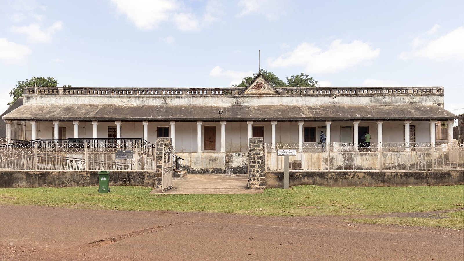
Under the Nizams, most of the fort’s palaces served as government offices, and one was used as a jail. After an archaeological department was established, the fort was restored and the offices were removed. Following the 1956 partition of Hyderabad state, Bidar became part of Mysore state, now Karnataka. In 2014, the fort joined UNESCO’s Tentative List as part of Monuments and Forts of the Deccan Sultanate, under cultural criteria ii and iii.
Remains
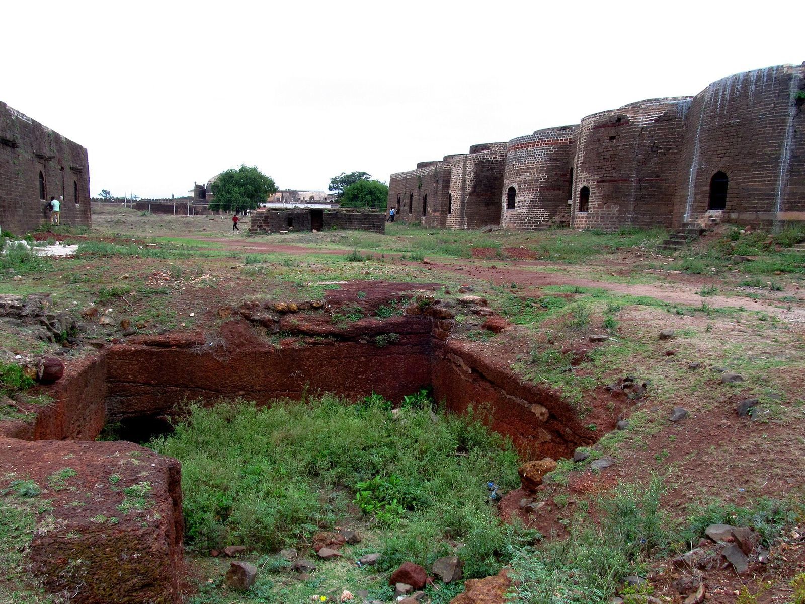
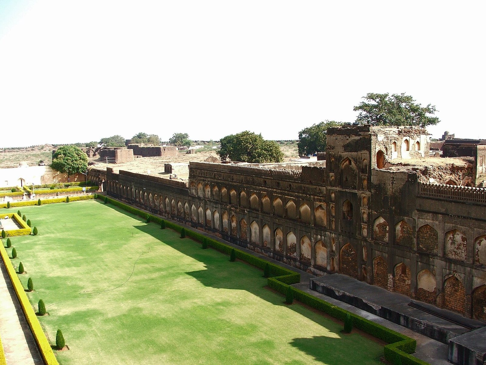
The fort occupies the edge of the Bidar plateau, about 670 metres above sea level. Its irregular rhombus-shaped plan is approximately 1.21 kilometres long and 0.80 kilometres wide, while the outer walls extend about 2.5 kilometres. More than 30 monuments stand within the complex, including palaces, mosques, gateways, arches, pavilions, and gardens. Red laterite, red brick, stone, and mortar are among the materials used. The fort is now in ruins, and its buildings reflect Persian architectural influence.
Defensive Perimeter
Walls and Plateau Edge
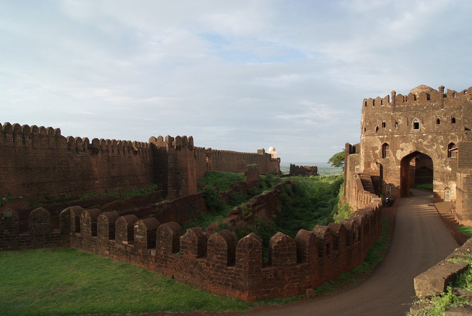
Steep cliffs and high walls defend the northern and eastern sides. Persian and Turkish architects designed the long, winding walls, while local masons quarried stone from the moat. The winding alignment belongs to a period before gunpowder was introduced in peninsular India.
Triple Moat
On the city-facing side, from southeast to southwest, the defences include a moat divided by three channels. It is about 30 feet deep. The widths between its successive barriers are 32 feet 6 inches from the sloping outer defence to the first partition wall, 36 feet 4 inches between the first and second partition walls, and 41 feet 9 inches between the second wall and the steep inner face. That inner face rises about 32 feet 8 inches to 43 feet above its rock base.
Gates and Artillery
Gateways
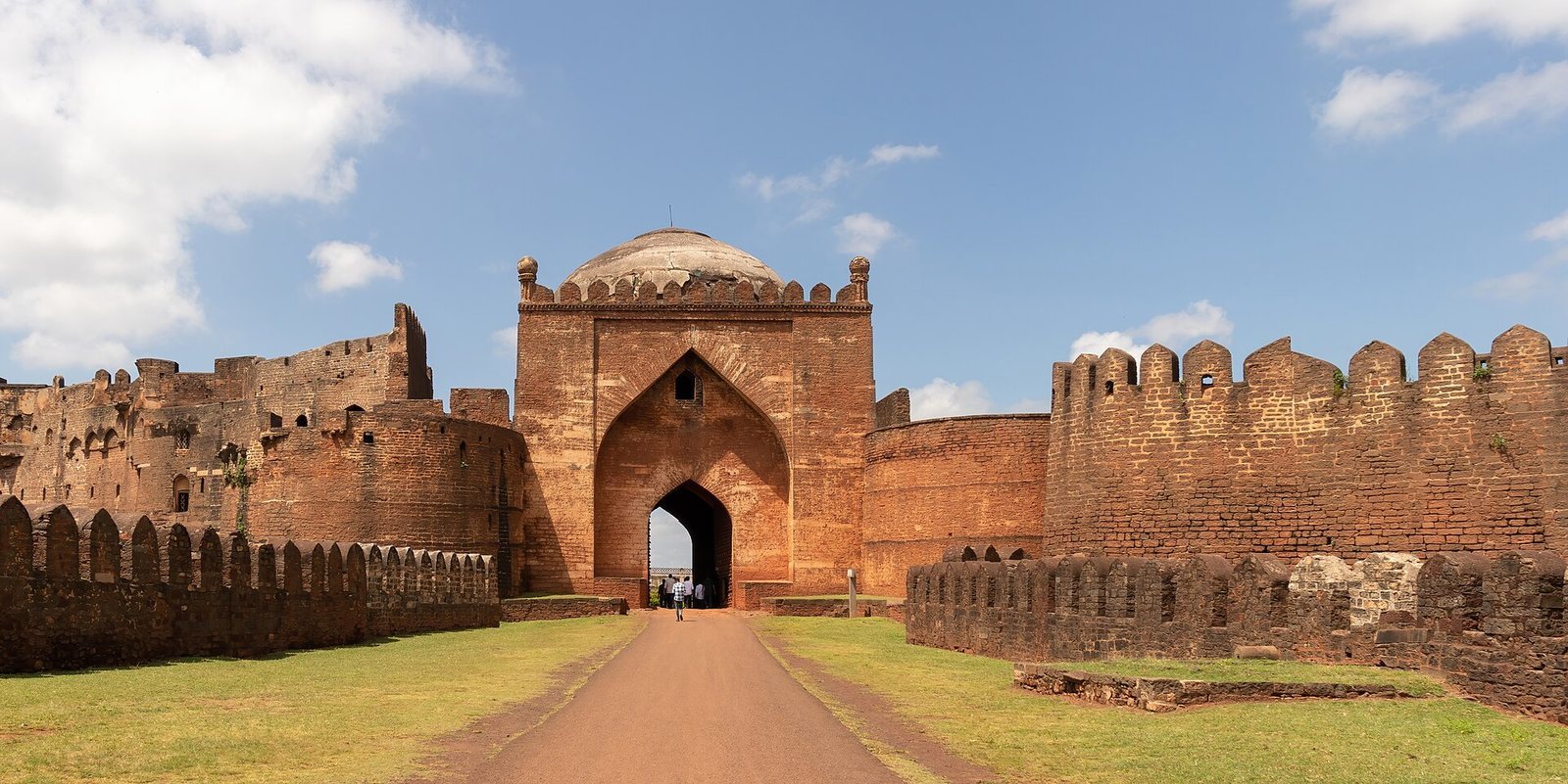
Named gateways include Mandu Darwaza, the main gate, along with Kalmadi, Delhi, Kalyani, Carnatic, Gumbaz, Shaj, Sherza, Fateh, and Talghat. A winding approach from the southeast is protected by three successive gates. One entrance gateway has a tall dome with a brightly painted interior, while Gumbaz Darwaza follows Persian architectural forms. Fateh Darwaza, on the south, has octagonal pillars and a drawbridge; Talghat, Delhi, and Mandu gates are on the eastern side. Two tigers carved on the outer face of Sherza Darwaza are linked in Shia belief with victory and Ali, a central figure in that branch of Islam, and are regarded as protection for the fort.
Bastions and Cannon
Thirty-seven bastions, projecting defensive platforms overlooking approaches, rise along the fort walls. Metal-bar cannons were mounted on them; their bars were welded together and held with metal hoops. Munda Burj is the most prominent bastion, and the heaviest guns were placed there to command the approaches. A large cannon also stands at the fort entrance.
Palaces and Audience Halls
Takht Mahal
Takht Mahal, or the throne palace, occupies the western part of the fort and was built over the site of the earlier fort. Its main entrance faces north, with smaller entrances on other sides. The courtyard served for private audiences and discussions, while ceremonies and major events, including the installation of Bahmani sultans at Bidar, took place in the audience hall. Interior rooms formed the royal quarters, and the palace has a large interior dome. Its arches are the parts that remain in good condition. Local folklore places the old fort between Takht Mahal and Kalmadi Gate, extending to the promontory where Virasangayya’s temple was built, and locates an old water tank at the base of the fort walls. The Persian historian Firishta associated Darul Imara, now called Takht Mahal, with the site of the old fort.
Diwan-i-Aam
The Diwan-i-Aam, or principal audience hall, stands on the southern side of the complex. It has three rows of six pillars and entrances on both its eastern and western sides. It was probably used for public audiences.
Rangin Mahal
Rangin Mahal means Painted Palace, a name drawn from its elaborate coloured-tile decoration.
Mosques
The complex includes the Jami Masjid, or Great Mosque, and Solah Khamba, also called the Sixteen-Pillar Mosque. Solah Khamba was originally Bidar’s congregational mosque. Its front consists of an arcade of 19 uniform arches, with a parapet topped by a massive dome. Smaller roof domes sit below the parapet.
Water Supply
A 15th-century water system at Naubad village supplied drinking water to civilian settlements and the fort’s garrison, where rocky ground made access to water difficult. Known as a karez, it channels groundwater or spring water through underground tunnels, with vertical shafts connecting them to the surface. The system extends about 2 kilometres and originally had 21 shafts. Later building and development closed some shafts, leaving 17 visible. Its water also served washing, religious ablutions, livestock, and the irrigation of fields, orchards, and gardens.