Bennigser Burg: An Early Medieval Ringwork Fortification in Germany
Site at a Glance
- Popularity
- Low
- Country
- Germany
- Primary era
- Medieval
- Eras represented
- Medieval
- Civilizations
- Unclassified
- Site type
- Military
- Remains
- Fort
On this page8 sections
History
Bennigser Burg is an early medieval hilltop fortification near Bennigsen, in Springe, Germany. It is a ringwork, a fort enclosed by an earthen bank, generally dated to around AD 900–1000. A small excavation in 1937 placed it in the tenth century, chiefly on the basis of pottery from the entrance passage.
Early medieval setting and use
A substantial manorial estate existed at Bennigsen during the ninth and tenth centuries and was first mentioned in 969. Representatives of the estate may have built the fort, but their involvement is uncertain.
The fort’s size and layout suggest that it probably sheltered local people during periods of danger. Fortifications of this regional kind are thought to have served as occasional refuges rather than as permanently occupied strongholds. Older archaeological interpretations called such sites Saxon or Heinrich castles, associating the latter label with King Henry I, also known as Henry the Fowler. Later research places this regional group broadly between the eighth and twelfth centuries; the label does not establish who built Bennigser Burg.
Names and archaeological study
Maps made between the sixteenth and eighteenth centuries call the fortification Meinser Burg. Its current name probably reflects its proximity to Bennigsen.
The 1937 excavation examined the entrance between the two enclosed areas. In 2017, students from the University of Hannover surveyed the site and created a digital terrain model and contour plan for the Lower Saxony State Office for Cultural Heritage. The previous contour plan had been made in 1956.
Remains
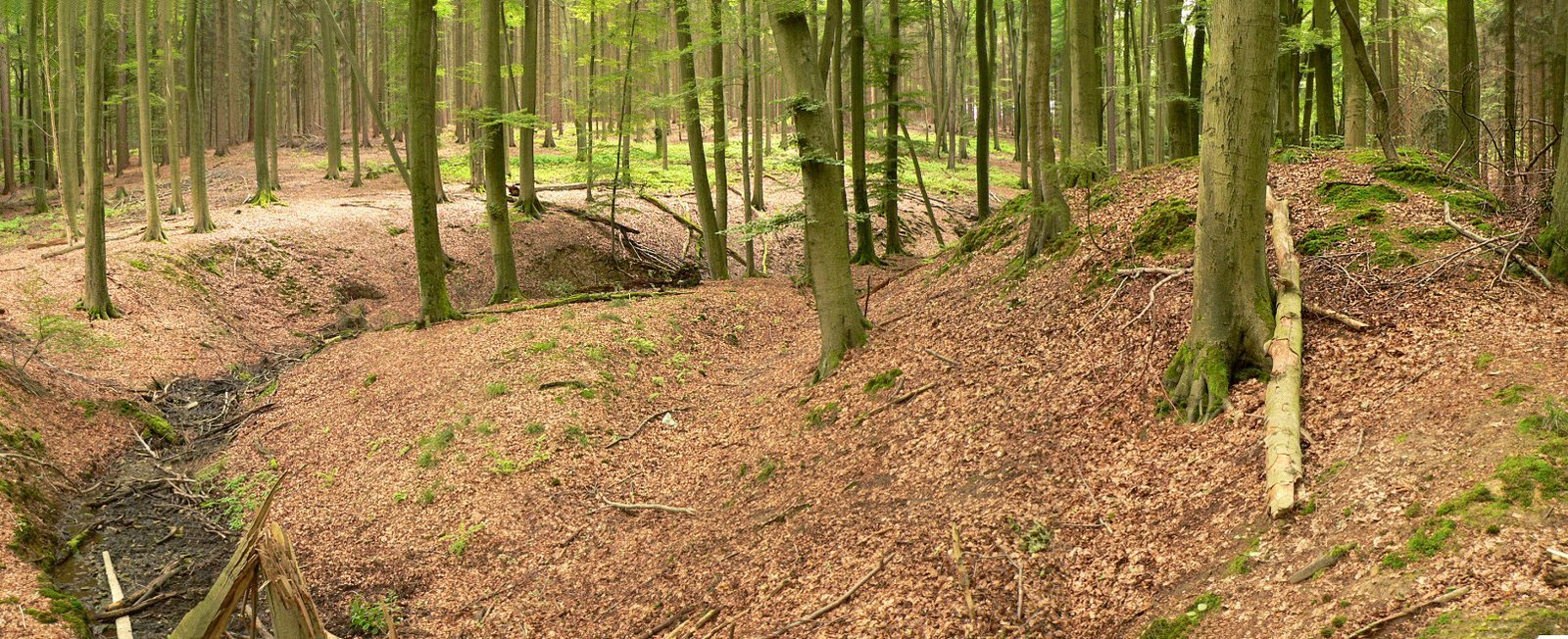
The fort follows a ridge, with a higher central enclosure, a lower outer enclosure, and further defenses extending down the slope. Deep, stream-cut ravines help protect two sides of the site.
Enclosures and setting
Main enclosure and outer enclosure
The main enclosure occupies the ridge’s highest point and forms a banked rectangle measuring 140 by 160 metres. Below it, the outer enclosure measures 100 by 185 metres. Together, the two enclosures cover about four hectares, and the banks descend from the upper area along the slope.
Outer defenses and landscape
About 100 metres downslope from the outer enclosure, a 230-metre-long bank is paired with a ditch. The earthen banks survive at heights of about 3–5 metres, alongside wall remains and ditches. A stone or timber wall several metres high may once have faced the banks, an interpretation based on nearby forts such as Isenburg, Wirkesburg, and Heisterburg rather than detailed study of Bennigser Burg. Palisades or hedges may have protected the flanks. The site lies at the southeastern end of the Deister, about two kilometres southwest of Bennigsen and roughly 300 metres east of the B 217. Nearby routes included the ridge-top King’s Way, approaching from the Deister crest, and the Hameln–Hannover military road across the plain to the east, between the Leine and Weser valleys. Early historic burial mounds also occur on the Deister’s eastern slope. Dense coniferous woodland covered the fort for a long period; the trees were cleared in 2023 and the area replanted.
Entrance between the enclosures
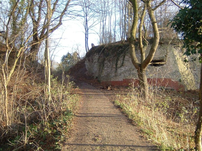
The excavated entrance cut through the bank separating the main enclosure from the outer one. Its passage was about three metres wide and 15 metres long, with limestone-slab walls bonded using loam and clay and a floor paved with stone. Post remains in the central area point to a wooden gate tower above the passage. A double V-shaped ditch strengthened the boundary here, and an earthen bridge crossed it on the approach. The gate openings face east toward the plain and the historic Hameln–Hannover route. The entrance area, including sections of its side walls, has been reconstructed.