Bekal Fort: A Medieval Coastal Fort in Kerala, India
Site at a Glance
- Popularity
- Very High
- Country
- India
- Primary era
- Early Modern
- Eras represented
- Early Modern
- Civilizations
- Unclassified
- Site type
- Military
- Remains
- Fort
On this page10 sections
History
Bekal Fort is a medieval coastal fort in Kerala, India. Hiriya Venkatappa Nayaka began its construction, and Shivappa Nayaka completed it in 1650. Built to secure an important port, it served the Keladi Nayakas during their expansion and later defense of Malabar.
From Mahodayapuram to Kolathiri rule
During the Perumal Age, Bekal formed part of Mahodayapuram, a historical centre in Kerala associated with the Perumal rulers. After their decline, the area came under the authority of the Kolathiri ruling house by the 12th century. The house was also associated with the names Mushika and Chirakkal.
Bekal’s maritime importance grew under the Kolathiris as Malabar developed as a port region. After the Battle of Talikota, fought in southern India in 1565, the Keladi Nayakas and other subordinate chiefs gained power in the area. Bekal’s port made it a strategic place to fortify; nearby Chandragiri Fort was also built during this period.
Keladi Nayaka fortification
The Nayakas used Bekal as a base for their initial expansion and later for defending Malabar. Hiriya Venkatappa Nayaka initiated the fort’s construction, and Shivappa Nayaka brought it to completion in 1650.
Mysore and British rule
The contest between the Kolathiris and the Nayakas for control of the area ended when Hyder Ali conquered the Nayakas, and Bekal passed to the Mysore rulers. Tipu Sultan, Hyder Ali’s son and successor, used the fort as a military station during his expedition to capture Malabar.
In 1799, during the Fourth Anglo-Mysore War between Mysore and British-led forces, Tipu Sultan died and Mysorean control ended. Bekal then came under the British East India Company and became the headquarters of Bekal Taluk, an administrative subdivision, in South Canara District of the Bombay Presidency, a British Indian province. The political and economic importance of Bekal and its port subsequently declined.
Remains
Setting and defensive plan
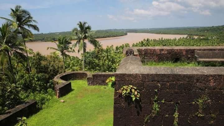
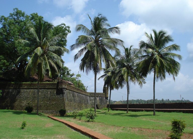
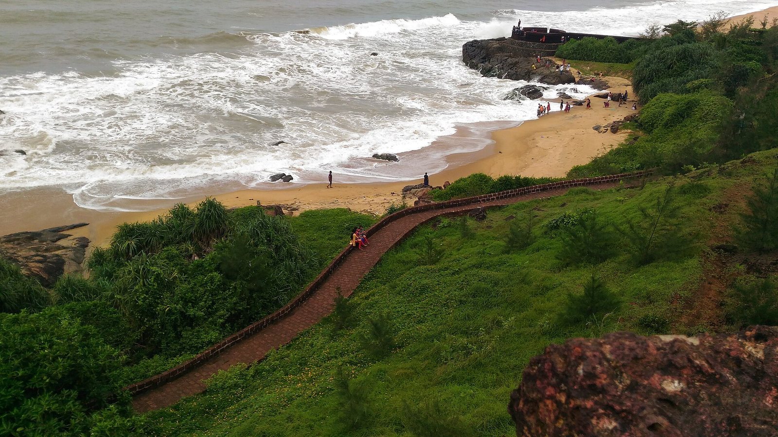
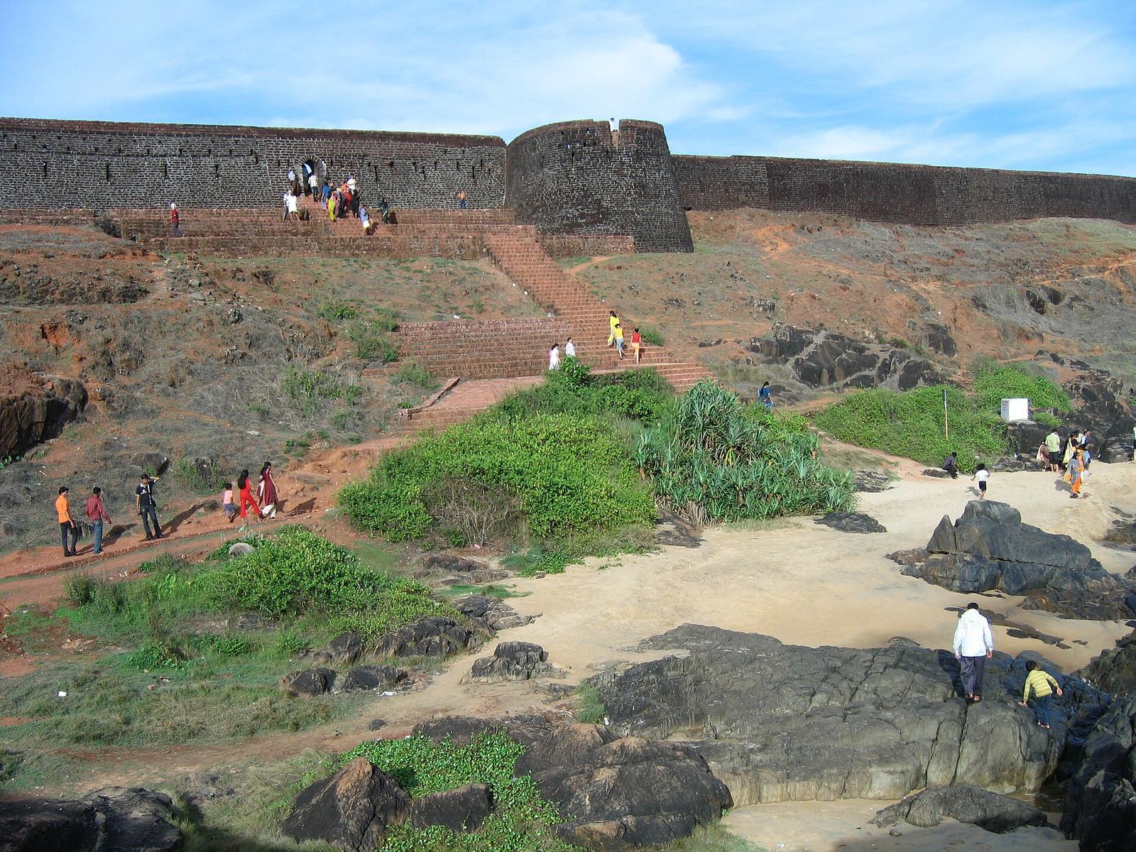
The fort covers 40 acres (160,000 square metres), making it the largest fort in Kerala. It stands at the water’s edge, with almost three-quarters of its exterior in contact with the sea. Its solid construction and defensive layout are reflected in its entrance, trenches and outer walls.
Entrance, trenches and outer walls
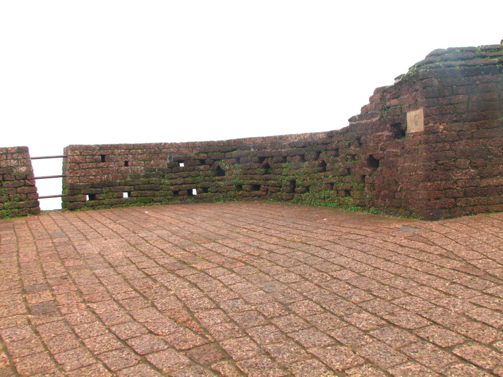
A zigzag entrance and surrounding trenches form part of the fort’s defenses. Openings in the outer walls were arranged to help defend against naval attacks at different distances. The upper openings were used to aim at distant targets, the lower ones at closer enemies, and the lowest at those nearest the fort.
Interior structures and archaeological finds
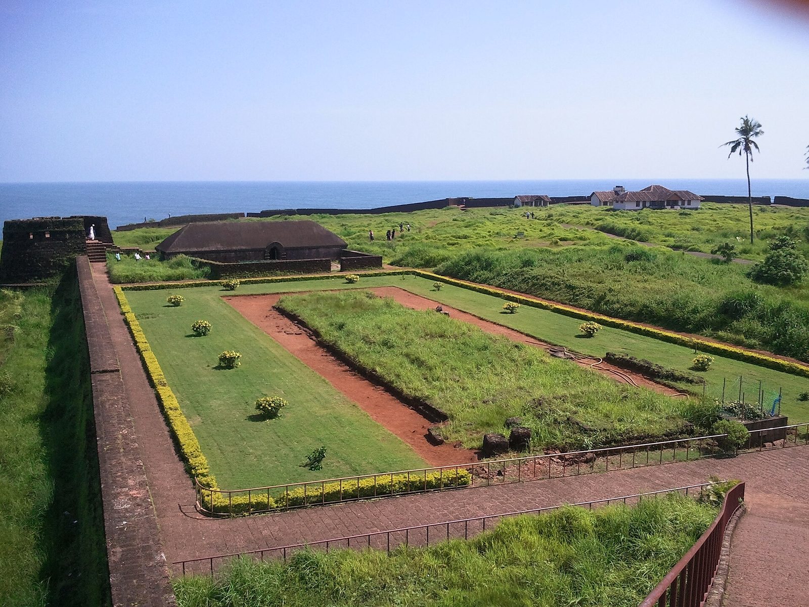
Water tank, magazine and observation tower
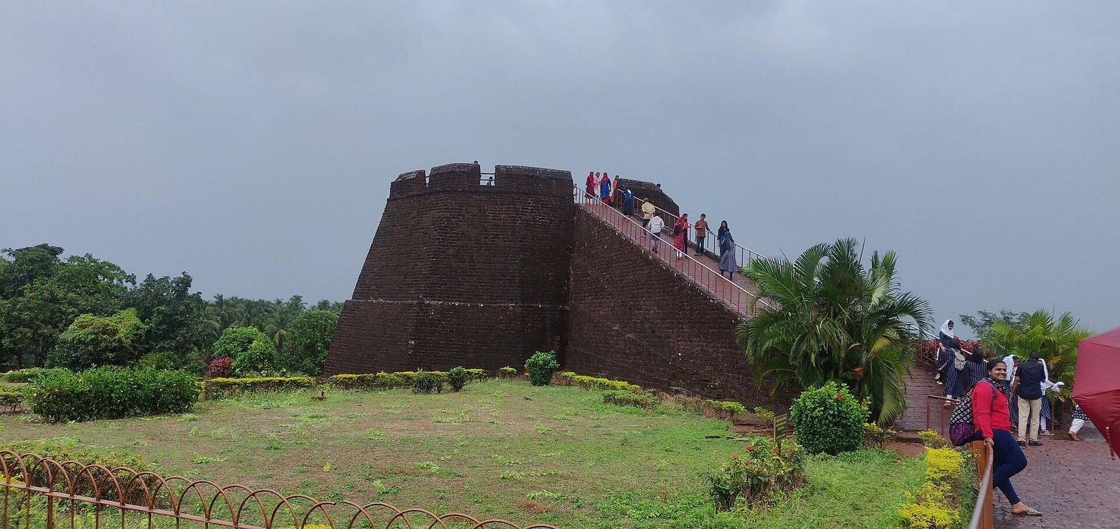
The fort contains a water tank and a magazine, a military storehouse commonly used for ammunition. A flight of steps leads to an observation tower built by Tipu Sultan. From the fort’s centre, the tower affords views of the coastline and the towns of Kanhangad, Pallikkara, Bekal, Mavval, Kottikkulam and Uduma.
Coins and other finds
Coins and other artifacts recovered in archaeological excavations at the fort provide evidence of a strong Mysore Sultan presence.