Viglatoúri: An Archaeological Site Probably Identified with Ancient Kyme
Site at a Glance
- Popularity
- Very Low
- Country
- Greece
- Primary era
- Iron Age
- Eras represented
- Stone Age, Bronze Age, Iron Age
- Civilizations
- Ancient Greek, Mycenaean
- Site type
- City
On this page9 sections
History
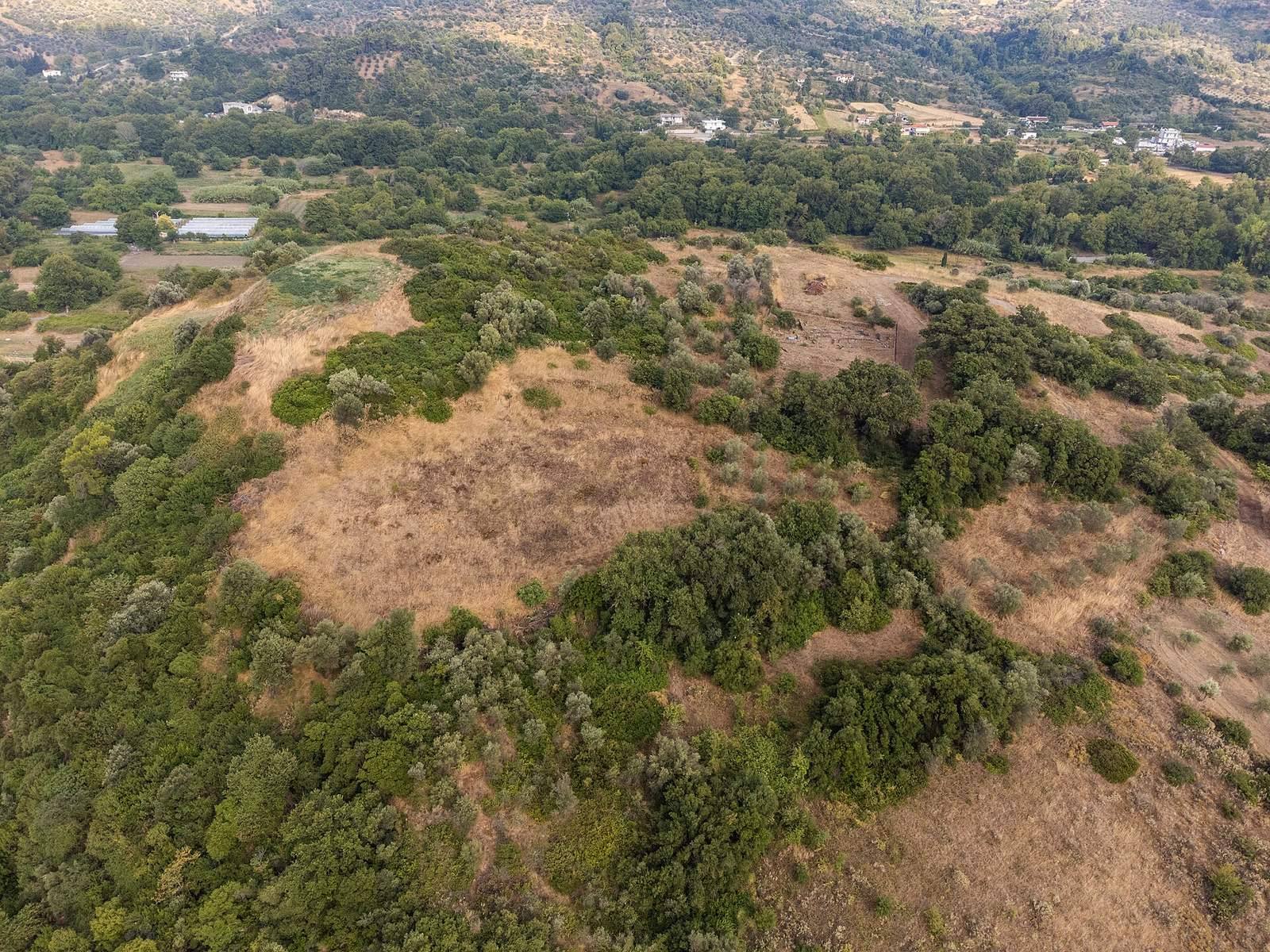
The archaeological site of Viglatoúri lies on Viglatoúri Hill near Oxýlithos on the Greek island of Euboea. Its prehistoric and Geometric-period remains have led to its identification as the probable location of ancient Kyme, a Greek city that flourished during the Geometric and Archaic periods.
Kyme in the Geometric and Archaic periods
Kyme was one of Euboea’s important cities in these early periods. Strabo, an ancient Greek geographer and historian, wrote that Kyme joined Khalkis in founding an Italian city in the eighth century BCE. That settlement later became known as Cumae, a distinct place from Euboean Kyme.
Decline and uncertain location
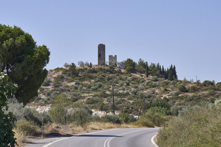
Kyme later lost importance as Khalkis became more prominent. It was often confused with another city called Kyme in Aeolis, and sparse references to the Euboean city contributed to doubts about its existence and location. Viglatoúri is one proposed site; another is Palaiókastrin (Kástron) Hill at Ano Potamia, where a medieval fortress stands. Archaeologist Éfi Sapouná-Sakellaráki directed excavations at Viglatoúri in 1984.
Remains
Settlement layout and buildings
Hilltop settlement
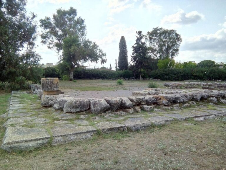
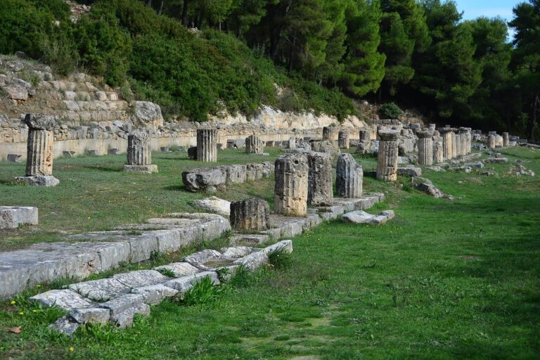
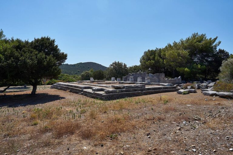
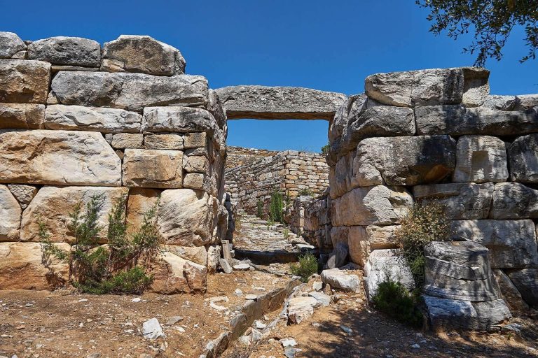
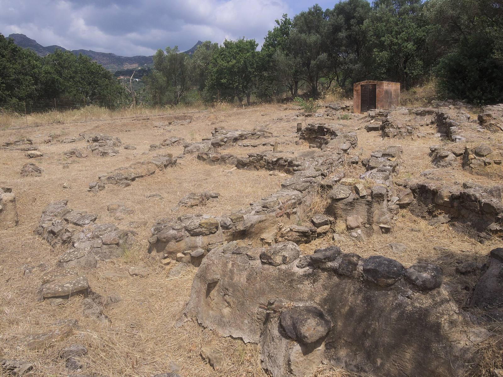
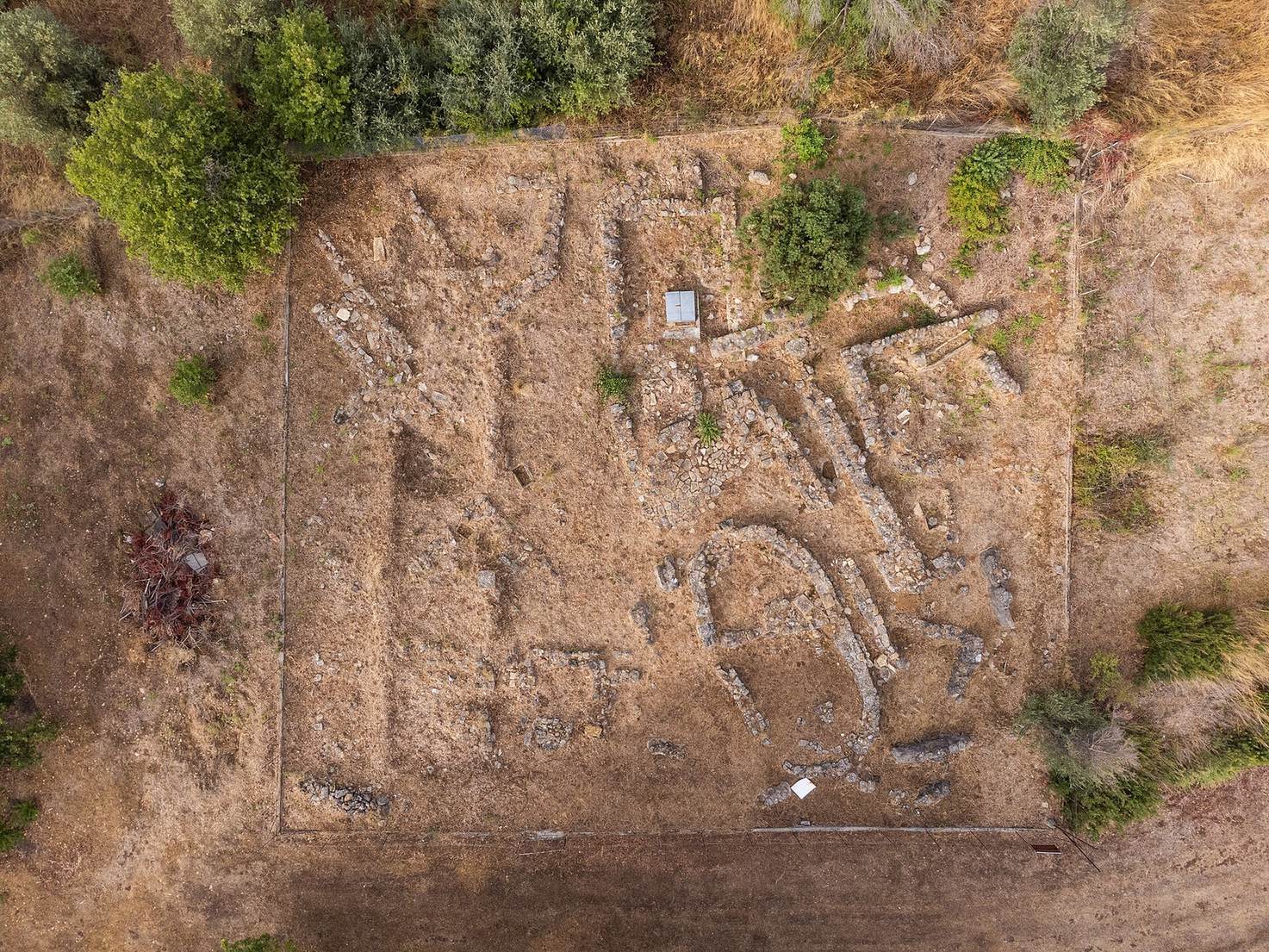
The settlement occupies a hill in a fertile plain near the Manikiá River, identified with the ancient Akheloos. The site lies about 2.7 kilometres inland from Euboea’s eastern coast and around eight kilometres south of modern Kými. Its prehistoric and Geometric-period remains include houses, sanctuaries, streets, and tombs, and the settlement appears to have been enclosed by walls.
Central square and shrine
A square space and an oval building stood at the settlement’s centre. The oval building is interpreted as a heroon, a shrine associated with a hero. It dates to the seventh century BCE and appears to have been destroyed around 700 BCE.
Earlier building phases
Beneath the shrine lay a Mycenaean-period megaron, a principal hall associated with Mycenaean architecture. Still earlier settlement phases beneath the Geometric remains belong to the Early Neolithic and Middle Helladic periods.
Burials and finds near Kými
Finds from the area of modern Kými consist chiefly of ancient inscriptions. Tombs northeast of the town date to the fourth and third centuries BCE.