Archaeological Site of Cabeço do Vouga: An Iron Age and Roman Fortified Settlement in Portugal
Site at a Glance
- Rating
- 3.2
- Popularity
- Medium
- Country
- Portugal
- Primary era
- Iron Age
- External website
- Open
- Eras represented
- Iron Age, Classical
- Civilizations
- Roman
- Site type
- Military
- Remains
- Fortified Town
On this page7 sections
History
Iron Age and Roman occupation
The Archaeological Site of Cabeço do Vouga is an Iron Age fortified settlement in Águeda, Portugal, later occupied and reused under Roman rule. Its occupation is also dated to the first century CE. The settlement is identified with Talabriga, described as the capital of one of the civitates, Roman territorial and administrative units, in the Conventus Scallabitanus, a district centered on Scallabis, modern Santarém. Talabriga formed part of Roman administration and strategic routes linking Olisipo, modern Lisbon, with Bracara Augusta, modern Braga.
The settlement was probably conquered by Celtic forces around AD 137, after which its defenses were strengthened. It may later have been reconquered by groups described as barbarian, possibly the Vandals. Between the third and fourth centuries, secondary walls were added to reinforce the fortifications.
Medieval settlement
In the medieval period, the fortified settlement was known as a castro, meaning a fortified settlement, and as Cividade Marnel. Related historical forms include Castro Marnel.
Excavation and modern history
António Gomes da Rocha Madahil and Sousa Baptista carried out partial excavations during the second quarter of the twentieth century. Further work followed in the second half of the century, including research by Mário de Castro Hipólito and a 1996 intervention led by Fernando A. Pereira da Silva of the University of Porto. The Archaeology Office of Águeda Municipal Council resumed excavations in the late twentieth and early twenty-first centuries. In 1999, a cooperation agreement between the council and the Galician Superior School of Cultural Conservation and Restoration led to surveys and excavation work beginning in July, which revealed additional structures.
The site was classified as a Property of Public Interest in 1947. After being open to the public for several years following the late-twentieth-century excavations, it later closed. From 2010 onward, the municipality abandoned the site.
Remains
Enclosure and defenses
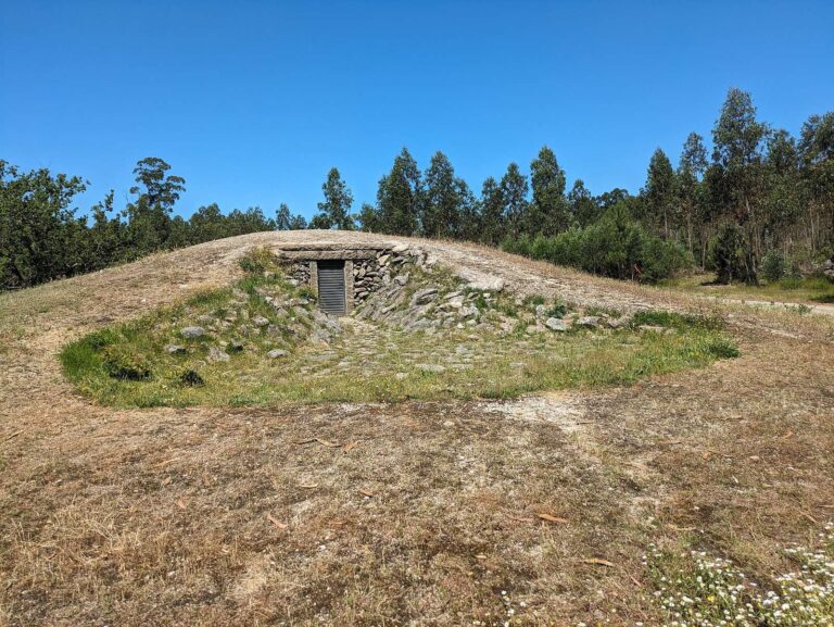
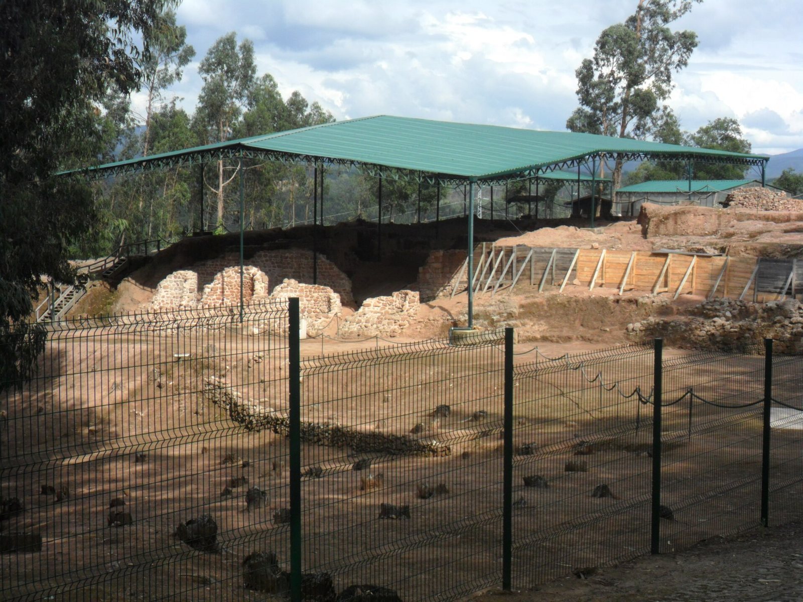
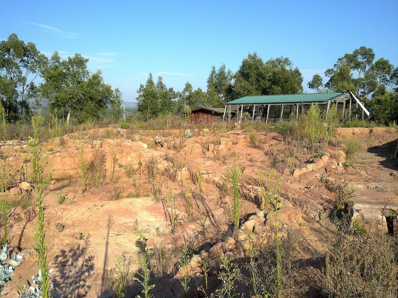
The remains occupy an artificial platform on a hilltop between Cabeço Redondo and Cabeço da Mina, overlooking the River Mondego. Forest and wild brush cover the surrounding landscape. The rectangular enclosure consists of several wall lines and covers about four hectares. Its principal walls are approximately 3.3 metres high, 41 metres long, and 0.60 metres thick.
At the eastern end, a rectangular reinforcing wall, built as a secondary defense, has paired pilasters, shallow vertical supports attached to a wall. This defensive addition incorporates four circular buildings. Two nearby chapels, dedicated to the Holy Spirit and Our Lady of Victory, date to the Christian period.
Interior structures and archaeological evidence
Rectangular structures lie within the enclosure. The settlement’s circular building pattern is considered evidence of its Iron Age origins, while ceramics and amphorae, large vessels used to carry liquids and other goods, reflect Roman reuse and rebuilding.