Alibates Flint Quarries National Monument: Indigenous Quarries and Settlement Sites
Site at a Glance
- Popularity
- High
- Country
- United States
- Primary era
- Stone Age
- Eras represented
- Stone Age, Medieval
- Civilizations
- Unclassified
- Site type
- Economic
- Remains
- Quarry
On this page8 sections
History
Alibates Flint Quarries National Monument is an archaeological landscape in the Texas Panhandle, United States. Indigenous people collected Alibates flint and shaped it into blades and other tools beginning about 13,000 years ago. Clovis-culture people also made Clovis- and Folsom-style projectile points from local stone. Clovis and Folsom were prehistoric North American traditions known in part for their distinctive stone points; Clovis points were used to hunt Columbian mammoths.
Farming communities and changing conditions
From 1200 to 1450, increased annual rainfall associated with climatic fluctuation helped farming spread in the region. Charred grains and beans from settlements along Alibates Creek date to this period. As conditions worsened, people relied more on hunting. Communities were displaced when groups moving south from the north entered the area.
Trade and Indigenous presence
From the sixteenth century, Pawnee and Hidatsa hunting territories reached south into the region. Food remains and pottery point to trade involving grain, poultry, and tobacco from the lower Mississippi River region, New Mexico, and Arizona. Alibates flint, often shaped into arrowheads and tools, helped sustain settlement beyond the usual hunting season. Around 1540, Spanish expedition leader Coronado encountered Indigenous people using flint knives to butcher bison. Native people continued making arrowheads from Alibates flint until about 1870. By the nineteenth century, Indigenous people had largely left the area as settlers established themselves in northern Texas with U.S. military support.
The monument’s name and protection
The name Alibates comes from cowboy Allen, or Alie, Bates, who settled beside the creek now known as Alibates Creek in the mid-nineteenth century. The area was authorized as a national monument on August 31, 1965, under the name Alibates Flint Quarries and Texas Panhandle Pueblo Culture National Monument. On November 10, 1978, its name was shortened to Alibates Flint Quarries National Monument. The National Park Service, the U.S. federal agency responsible for protected sites, manages it together with the adjacent Lake Meredith National Recreation Area. It was Texas’s only national monument until another was established in 2013.
Remains
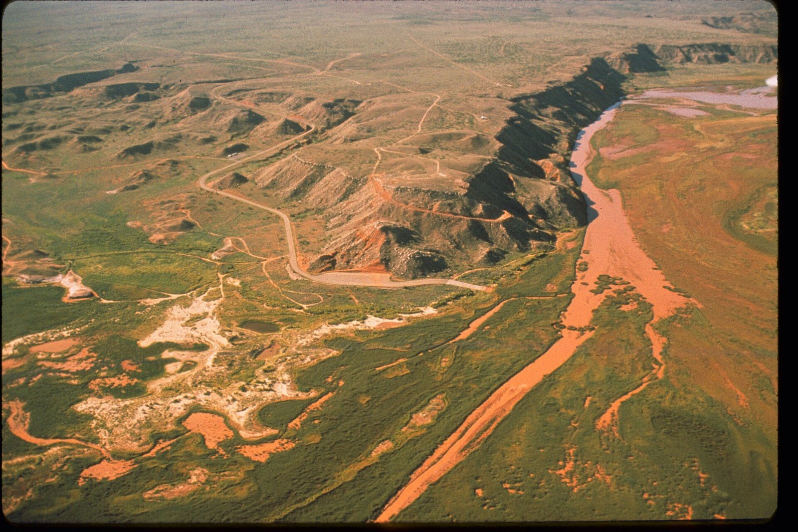
The monument covers about 5.55 square kilometers among reddish bluffs and mesas above the Canadian River. Its archaeological landscape includes quarries and stone-working areas, along with traces of villages, resting places, and hunting camps.
Quarries and flint-bearing rock
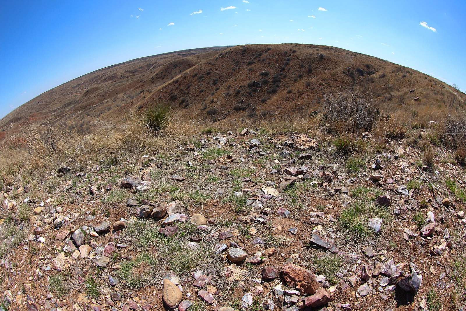
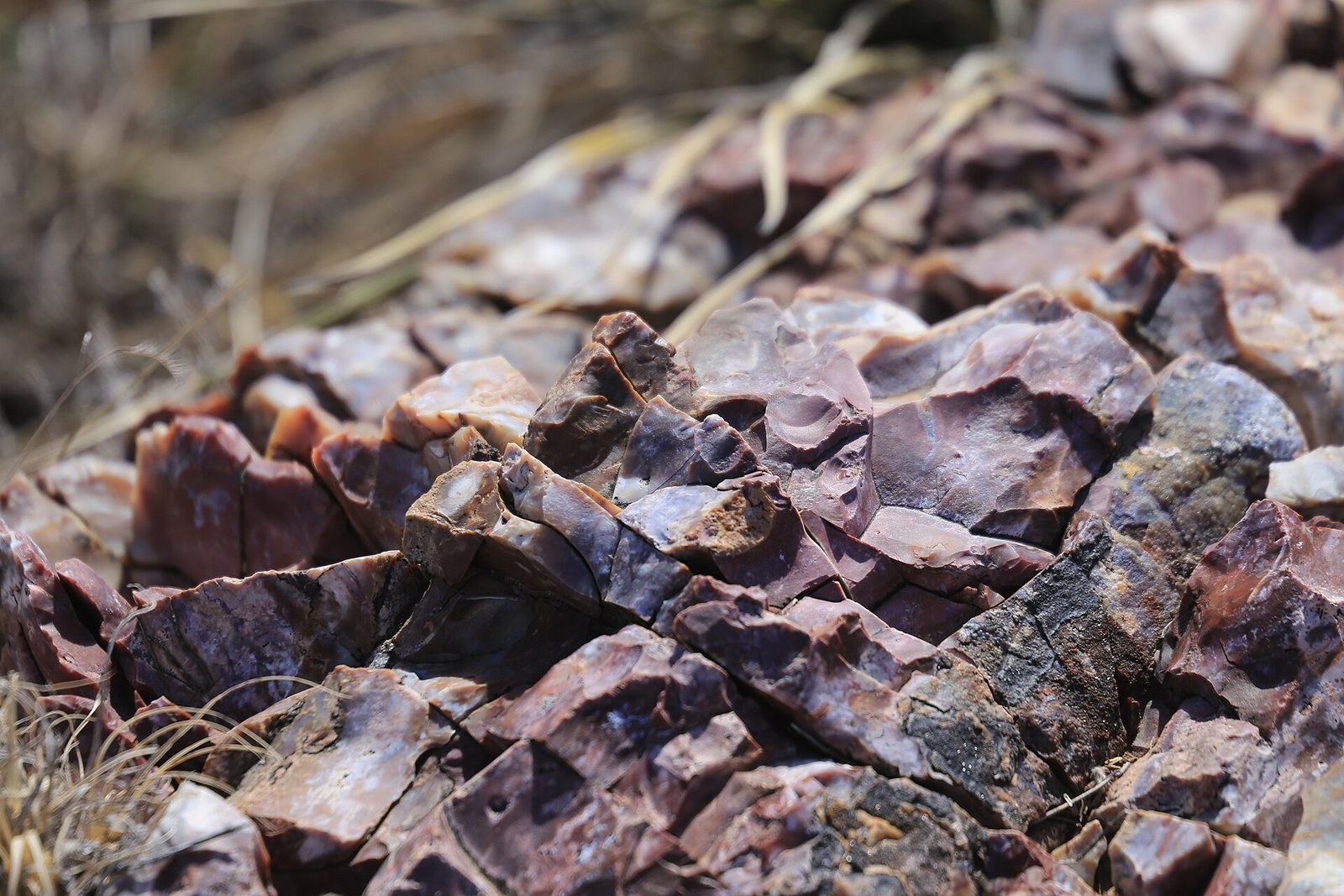
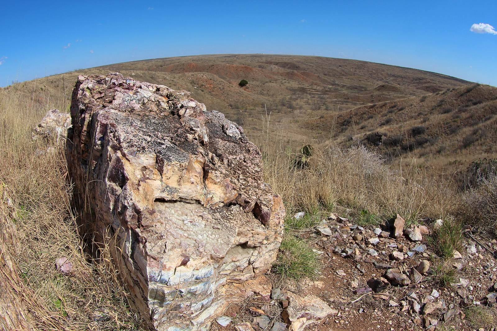
The flint-bearing stone is dolomite, a carbonate rock described as altered by silica or containing agate. It lies close to the surface, with unweathered stone reachable by digging roughly 30 to 50 centimeters. About 700 small pits, dug by hand, mark quarrying on the largest mesa. Excavated rock and soil, along with stone flakes, remain visible around the pits, preserved by the dry climate. Large heaps of stone-working waste also show the scale of production.
Villages and activity areas
Antelope Creek people, a prehistoric Indigenous community of the Texas Panhandle, built multiroom houses from stone slabs in the area. Other archaeological traces mark places where people processed stone, lived, rested, and hunted.
Flint artifacts and their distribution
Naturally colored Alibates stones and fragments shaped by people are scattered across the site. Artifacts made from the flint have been identified as far away as Montana to the north, central Mexico to the south, and the Mississippi River to the east.