Wittekindsburg: A Pre-Roman Iron Age Refuge Fortress in Germany


Site at a Glance
- Rating
- 4.4
- Popularity
- Low
- Country
- Germany
- Primary era
- Iron Age
- External website
- Open
- Eras represented
- Iron Age, Medieval
- Civilizations
- Carolingian, Holy Roman Empire
- Site type
- Military
- Remains
- Fort
On this page10 sections
History
Wittekindsburg is a prehistoric hilltop refuge fortress in Germany, near Porta Westfalica, built during the pre-Roman Iron Age between the third and first centuries BC. A refuge fortress was an elevated fortified place intended mainly to shelter people in times of danger. The site belongs to a group of hilltop defenses in the eastern Wiehengebirge, alongside Dehmer Burg and Nammer Lager.
Iron Age refuge fortress
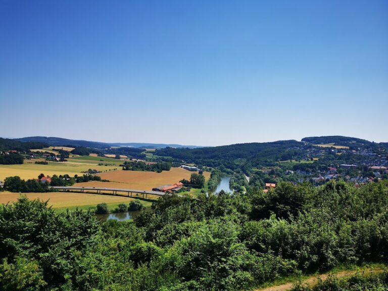
Wittekindsburg, Dehmer Burg, and Nammer Lager stand about 2 kilometers from the Weser gorge at Porta Westfalica. Their position is thought to have allowed them to control an important regional junction of contemporary trade routes, at least for periods of time. The fortification’s early role was therefore connected to both protection and the movement of people and goods through the surrounding landscape.
Saxon-Frankish period
The rampart was expanded and occupied again during the Saxon-Frankish period. The site’s name preserves a traditional association with Wittekind, the Saxon leader who opposed Charlemagne during the Frankish conquest and Christianization of Saxony. This naming tradition does not establish that Wittekind founded the fortress. An imperial charter of 993 refers to the site as Wedegenborck.
A hermitage was established in the area during the tenth century. With the support of Minden Bishop Milo, who held office from 969 to 996, a nunnery was later founded there. These religious developments added a new function to a hilltop enclosure whose earlier history had been connected with defense and refuge.
Investigation and protection
Friedrich Langewiesche began investigating the complex in 1907. The foundations of the Cross Church and additional wall remains were uncovered in 1996, then exposed and examined archaeologically. A glass protective structure was subsequently erected over the archaeological monument. During the National Socialist period, competitions took place at the Margarethen Chapel and on the adjoining sports field.
Wittekindsburg forms part of the protected European habitat area known as the Forests near Porta Westfalica. Its southern section within Porta Westfalica also lies in the Wittekindsberg nature reserve, where conservation takes precedence over ordinary land use. The eastern part containing the restaurant, hang-gliding launch ramp, and Cross Chapel is outside that nature-protection area.
Remains
Hilltop enclosure and earthworks
The elongated complex covers about 8 hectares in the transition between Häverstädter Berg and Wittekindsberg, at elevations of approximately 225 to 270 meters above sea level. Its listed elevation is 238 meters. The site extends across the municipal territories of Minden, in Häverstädt, and Porta Westfalica, in Barkhausen. The boundary between the municipalities follows the mountain ridge and runs approximately through the middle of the enclosure.
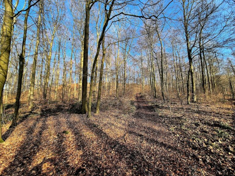
The earthwork enclosure is about 660 meters long and 100 meters wide. Surviving remains consist principally of sections of the eastern and northern ramparts, together with other wall and earthwork traces. The northern rampart stands behind a limestone-sandstone cliff forming the ridge at this point. The steep southern slope provided substantial natural protection, so that side was fortified only lightly. The Wittekindsweg ridge path passes through or alongside the complex, while the fortification at Königsberg in Häverstädt had its eastern end here.
Religious buildings
Margarethen Chapel
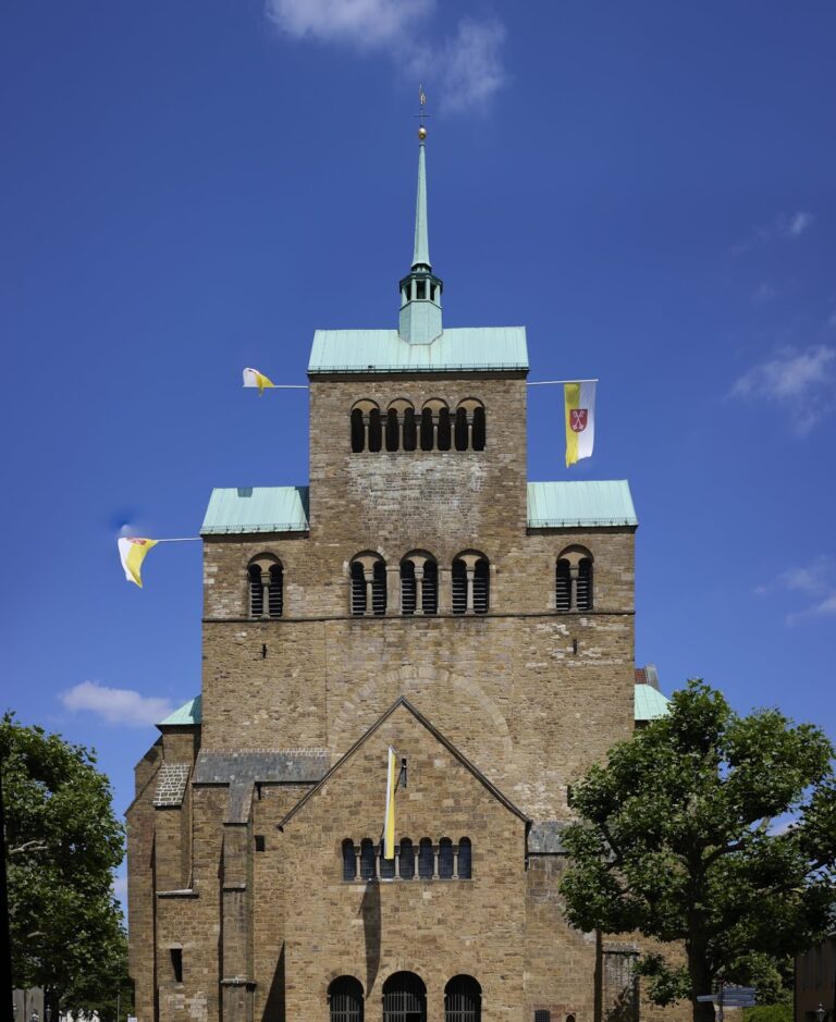
The Romanesque Margarethen Chapel forms part of the complex. Romanesque architecture is a medieval European style associated with heavy masonry, rounded arches, and simple geometric forms. The chapel and the adjacent sports field were used for competitions during the National Socialist period.
Cross Church
The foundations of the Cross Church on Wittekindsberg survive with associated wall remains. They were uncovered in 1996 and remain exposed beneath a glass protective building, where the archaeological layout can be examined as part of the hilltop monument.
Spring, mining, and later structures
The site contains the Wittekinds Spring, which dried up in 1938 after iron-ore mining disrupted underground water-bearing strata. An opening to a mine adit remains as physical evidence of that activity. Other features include the Wittekindsburg Café and Restaurant, recognizable from the valley by its pointed tower, and the Königslinde, a named lime-tree landmark whose name means “King’s lime tree.”
A building used for accommodation was constructed in the 1950s. The complex also retains remains of a sports field and a hang-gliding launch ramp. Together with the Cross Church foundations, the former spring, the mining evidence, and the surviving ramparts, these features occupy the long ridge enclosure shaped by successive prehistoric, medieval, and modern uses.
Nearby sites