Wysburg: A Medieval Hilltop Castle in Germany


Site at a Glance
- Rating
- 4.7
- Popularity
- Low
- Country
- Germany
- Primary era
- Medieval
- Eras represented
- Medieval
- Civilizations
- Holy Roman Empire
- Site type
- Military
- Remains
- Castle
On this page8 sections
History
Wysburg is the ruin of a medieval aristocratic hilltop castle near Remptendorf in Germany, commissioned by the Vögte of Gera around the turn of the thirteenth and fourteenth centuries. The Vögte were regional political and administrative lords whose authority had developed through service to higher rulers. Archaeological finds place the castle’s use from the late thirteenth century to the third quarter of the fourteenth century.
The Vögte of Gera and the Castle’s Foundation
Wysburg was built after the Vögte of Gera took control of the lordship of Weisbach around the middle of the thirteenth century. The lordship had previously belonged to the Lords of Lobdeburg of Saalburg, whose line had become extinct. Their small motte castle, a fortification built around a raised earth mound, stood on the southeastern edge of Weisbach but was no longer sufficient as a border fortress against the territories of the Schwarzburg family.
The Vögte therefore established Wysburg on Schlosskuppe, about 2 kilometres from the earlier fortification. The new castle occupied a hilltop position suited to both residence and defence. It is also known by the names Hohenwaldsburg, Obere Walsburg, Altes Schloss, and Hunnenburg.
Destruction during the Vogtland War
Wysburg’s short history unfolded during a period of conflict in central Germany. In the Vogtland War of 1354 to 1359, the Wettins, a ruling dynasty expanding its territorial control, sought to seize the possessions of the Vögte of Weida, Gera, and Plauen. Their ally, Charles IV, who was both Holy Roman Emperor and King of Bohemia, received the city and castle of Plauen as war booty. The Vogt lines subsequently lost their imperial immediacy, the status of being directly subject to the emperor, and much of their territory became connected with the Wettins as possessions or vassal lands.
In October 1354, a force from the imperial cities of Erfurt, Mühlhausen, and Nordhausen, led by Heinrich V of Honstein of Sondershausen, destroyed Elsterberg Castle. No direct documentary connection links that attack to Wysburg, but the force’s route through the territories of the Gera Vögte makes the destruction of Wysburg in autumn 1354 highly probable. The conflict reportedly destroyed about 60 castles.
A large siege engine was erected about 300 metres west of Wysburg on the opposite Neuenbeuthen Heights. It hurled stones across the Umschützbach valley. The projectiles had been transported from the Orla Valley, about 20 kilometres away, and were made of Zechstein dolomite, a dolomite rock associated with the Zechstein geological formation. Some weighed as much as 81 kilograms. After Wysburg was taken, the castle was demolished.
Ruin, Excavation, and Interpretation
Once Wysburg had fallen into ruin, people from surrounding villages used it as a stone quarry. Much of the castle’s substance was removed, leaving little masonry visible above ground. Surveying and small-scale excavations began during the first third of the twentieth century.
In 1985, the then Museum of Prehistory and Early History of Thuringia began the first scientifically documented excavations, directed by Hubert Roßbach. The exposed walls were gradually rebuilt to a limited height, while red bricks indicate the original height of the masonry. In 1989, a permanent exhibition opened in the Wysburg House in Weisbach. It presents ceramic vessels and iron domestic implements recovered from the site, together with maps and models that explain the castle’s former appearance.
Remains
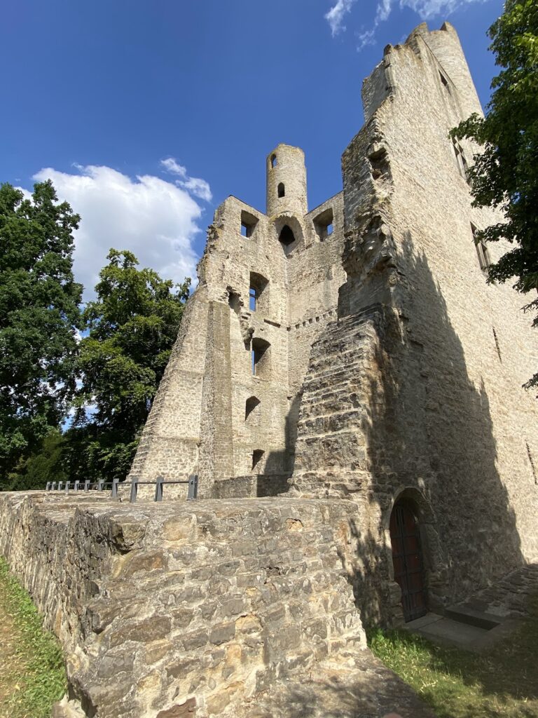
Wysburg occupies the north-facing spur of Schlosskuppe at an elevation of 443 metres above sea level. The site lies 1.8 kilometres north of Weisbach and 1.2 kilometres east of Neuenbeuthen. Its plan consisted of an outer bailey, the subsidiary enclosure outside the main castle, and a main castle containing the principal defensive and residential buildings. Excavation has revealed the arrangement chiefly through foundations and wall remains, with some masonry rebuilt to a limited height. Red bricks mark the former upper level of the walls.
Castle Enclosures and Defensive Structures
The excavated complex includes the outer walls, a keep, and a palas, the principal residential and representative hall building. A residential tower formed another part of the main castle. The rampart-and-ditch system protected the site, while a gate complex controlled entry between the castle’s defensive areas. Together, these remains define a fortified residence organized around separate outer and principal enclosures.
Service Buildings and Water Supply
Excavations in the outer bailey have exposed service buildings and a bread oven, providing physical evidence of the work and domestic activity that supported the castle’s occupants. The water system included a rock basin used as a cistern, a tank for collecting and storing water. It measures 7.5 metres in diameter and 8 metres deep, with an estimated capacity of approximately 350,000 litres.
Excavated Finds and Reconstruction
Ceramic vessels and iron domestic implements were recovered during the excavations and are displayed in the permanent exhibition at the Wysburg House in Weisbach. The exhibition’s maps and models reconstruct the castle’s original appearance, complementing the surviving foundations, walls, defensive works, and service areas at Schlosskuppe.