Tsepina: A Medieval Fortress and Regional Stronghold in Bulgaria


Site at a Glance
- Rating
- 4.5
- Popularity
- Medium
- Country
- Bulgaria
- Primary era
- Medieval
- External website
- Open
- Eras represented
- Classical, Medieval
- Civilizations
- Byzantine, First Bulgarian Empire
- Site type
- Military
- Remains
- Fortified Town
On this page8 sections
History
Tsepina is a medieval fortress in Bulgaria that served as a political, administrative, and defensive center in the western Rhodopes. Its strategic position brought it into repeated diplomatic and military conflict between the Bulgarian and Byzantine states. Archaeological evidence shows that a Thracian settlement occupied the site during the Early Iron Age, with habitation continuing through the Roman period and Late Antiquity.
Bulgarian and Byzantine Rule
The site became part of the Bulgarian state in the mid-ninth century. The Byzantine Empire conquered Tsepina in the eleventh century, but Bulgarian forces recovered it during the reign of Tsar Kaloyan, who ruled from 1197 to 1207. After Kaloyan’s assassination in 1207, his nephew Alexius Slav declared himself independent and moved his seat of power to Tsepina. He later transferred it to Melnik in 1209.
Tsepina is first named in a written document from 1220, a donation charter issued by Alexius Slav to the Roshen Monastery near Melnik. In the charter, he stated that his seat had first been at Tsepina and later at Melnik. The fortress belonged to the Empire of Nicaea from 1246 to 1254. This Byzantine successor state was based in western Asia Minor after the Fourth Crusade captured Constantinople in 1204, and it was ruled during this period by Emperor John III Doukas Vatatzes.
Michael II Asen later recovered Tsepina for Bulgaria, but unsuccessful Nicaean attempts to retake it led to a treaty in 1256. Under its terms, Michael II Asen ceded the fortress to Theodore II Laskaris, Vatatzes’s son and successor. Tsepina then remained Byzantine, together with nearby Stanimaka, until it was transferred to the Bulgarians in 1343 or 1344 during the Byzantine civil war of 1341 to 1347.
Ottoman Capture and Later Memory
The Ottoman Empire captured Tsepina around 1373 after a nine-month siege, probably commanded by Daud Pasha. The attackers cut off the fortress’s water supply, and the settlement was abandoned soon afterward. One church may have remained in use until the seventeenth century, possibly as part of a monastery.
Tsepina had been an important center of political and administrative life in the western Rhodopes, as well as a spiritual and cultural center associated with the independence of regional feudal lords and the unity of the Bulgarians. Archaeological excavations began at the end of the nineteenth century under the Russian historian and linguist P. A. Sirku. Later investigators included Stefan Verkowitsch, Hristo Popkonstantinov, and the Bulgarian archaeologist Dimitar Zontschev. Since 2012, the fortress has also given its name to Tsepina Cove on Robert Island in Antarctica. A mountain lodge near the ruins houses a modest exhibition of objects recovered during the excavations.
Remains
Mountain Setting and Outer Fortifications
The ruins occupy the steep, conical summit of Mount Tsepine, which rises to 1,136 metres. The Metoshko Valley bounds the summit to the east, the Kostin Valley to the west, and the Karkariysko Valley to the north. Access was possible only from the south, where the settlement stood at the mountain’s foot. The medieval complex had two principal parts: a fortified urban core containing the citadel and a lower settlement, or suburbium, where the inhabitants’ houses stood. Byzantine chroniclers called this lower settlement a polis. Apart from one church, the lower area has not been excavated.
The outer walls of the fortified core followed an irregular circuit about 640 metres long and 1.8 metres thick, enclosing approximately 25,000 square metres. The only entrance was in the southeastern sector. The surviving walls rise to as much as 6 metres. At the northeastern corner stood an irregular polygonal tower. Its rubble walls were bonded with white mortar, strengthened by five buttresses, and reinforced with concealed longitudinal and transverse wooden frameworks. Coins place its construction during the reign of Byzantine Emperor Alexios III, between 1195 and 1203. After reconstruction under Alexius Slav, the tower remained intact until the fourteenth century.
Citadel and Water Systems
The highest and naturally protected part of the urban core was enclosed by an inner wall approximately 142 metres long and 1.8 metres thick. This polygonal citadel followed the terrain and used rubble masonry set in mortar, a construction method also described as opus caementicium, which combined aggregate with a cement-like mortar. The citadel formed an independently fortified complex and probably served as the lord’s residence. It covers about 1,500 square metres, and its remaining walls reach up to 2.5 metres high.
The citadel contained the two largest of the fortress’s four water cisterns. One was rectangular inside but octagonal outside, with an arched vault and a height of about 8 metres. A polygonal residential and defensive tower, or donjon, probably stood above it. A transverse wall linked the western part of the inner fortress with the western wall of the urban core. Two square towers stood on the southern side of the inner fortress, while two additional cisterns occupied its southern sector.
Churches and Religious Finds
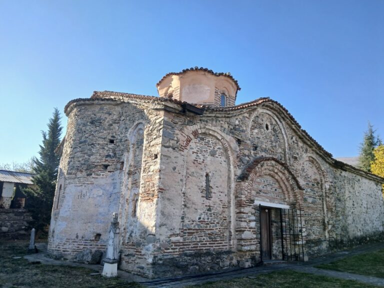
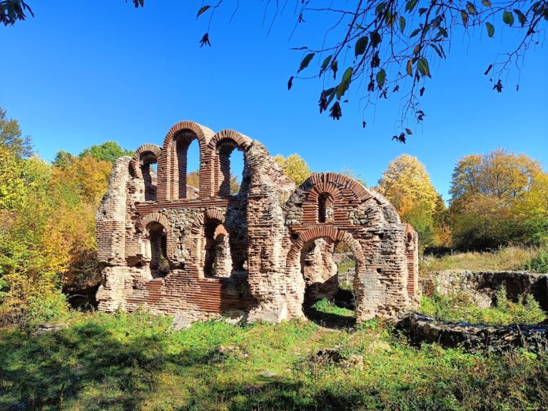
Three churches have been identified within the fortress. Foundations belong to churches of the twelfth and thirteenth centuries, while other remains come from an Early Christian three-aisled basilica dating to the fifth or sixth century. During the First Bulgarian Empire, the medieval Bulgarian state that lasted from the late seventh century until the early eleventh century, the basilica was converted into a single-nave church.
Two marble altar reliefs depicting the Apostles Peter and Paul were found in one of the churches. Peter and Paul were leading apostles of early Christianity, so their representation identifies the religious character of the building. The reliefs are now held by the Hermitage Museum in Saint Petersburg.
Residential Buildings
Excavations uncovered numerous square residential buildings dating from the second half of the first millennium AD. Their lower sections were built from stones bonded with clay or mud mortar, while the upper parts used timber and mudbrick. The roofs were covered with large Roman-style tegulae and imbrices, flat tiles combined with overlapping curved tiles. Most houses were single-storey and single-room structures, although some were linked by corridors. They stood directly beside one another without courtyards, with passages running between them.
Nearby sites