Mansinger Burgplatz: A Medieval Motte Castle Site in Germany
Site at a Glance
- Rating
- 4.1
- Popularity
- Very Low
- Country
- Germany
- Primary era
- Medieval
- Eras represented
- Medieval
- Civilizations
- Holy Roman Empire
- Site type
- Military
- Remains
- Castle
On this page9 sections
History
Mansinger Burgplatz is a medieval lowland castle site in Germany, located in Mansie, a district of Westerstede in Lower Saxony. Built during the medieval period as a motte, a fortified site centered on a raised mound, it emerged in the eleventh or twelfth century as the Counts of Oldenburg strengthened their authority in the Ammerland against neighboring East Frisians. The site became the aristocratic seat of the Knights of Mansingen, who served the Counts of Oldenburg as ministerials, medieval service nobles with administrative and military duties.
The Knights of Mansingen
The castle is documented from the beginning of the thirteenth century. Its first recorded mention, in 1226, refers to the castle together with its outer-bailey installations and surrounding ditches. Members of the Mansingen family appear in charters between 1226 and 1385, sealing documents concerning the sale or donation of property. The records preserve several forms of their name, including Johannis de Mansenge in 1237, Nicolaus de Mansingen in 1259, and later forms associated with Johannes, Johan, Tidericus, Luthbert, and Willekinus of Mansingen.
The Knights of Apen, von Seggern, von Mansingen, and von Fikensolt supported the Counts of Oldenburg in their regional policy. Mansinger Burgplatz formed part of this network of aristocratic seats. Its remote position in relation to Oldenburg probably contributed to the abandonment of the original castle. The site then fell into decay and passed to other owners, while no further medieval records or charters concerning the castle are known beyond the documentation of its lords.
Religious Memory and Later Tradition
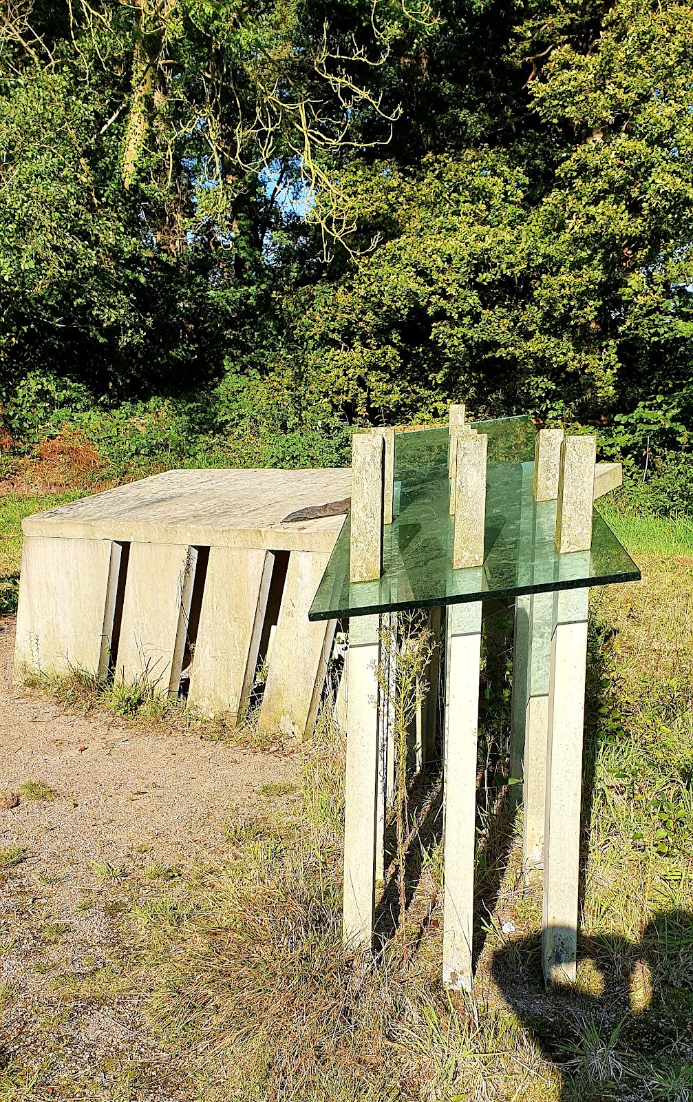
A charter dated 4 July 1339 provided for an altar dedicated to Saint Lawrence, a third-century Christian martyr, in the church at Apen. The donation reflected concern for the spiritual welfare and salvation of the people. In 2013, the artwork Freialtar, commissioned by the Kunstpfad Ammerland, a regional public-art initiative, commemorated the altar donation. Created by Norbert Marten and Christel Mandos-Feldmann, it was ecumenically inaugurated in November 2013 and later transferred to the city of Westerstede.
Local tradition says that buried treasure lies within the castle mounds. In the legend, the Devil makes the treasure chest sink deeper whenever someone is about to recover it. The Oldenburg writer and folklore collector Ludwig Strackerjahn recorded the story in Superstitions and Legends from the Duchy of Oldenburg and concluded that the treasure might still remain underground.
Archaeology and Protection
An excavation in 1969 recovered pottery dating from the twelfth to the fourteenth or fifteenth century. This range accords with the documented history of the Knights of Mansingen and provides material evidence for the period in which the castle was in use.
Mansinger Burgplatz is a designated cultural monument. In 2003, the protected landscape area around the site was substantially enlarged and renamed from “Burgplatz Mansie with Surroundings” to “Burgplatz Mansingen with Surroundings.” The revised ordinance defined its boundaries, character, and protective purpose under Section 26 of the Lower Saxony Nature Conservation Act. The site is also locally known as “Hammjeborg,” a name derived from the later ownership of the area by the Hammje family.
Remains
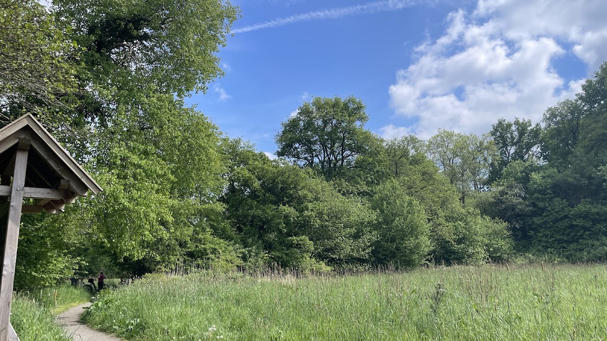
Mansinger Burgplatz survives as a castle site in a moorland landscape rather than as standing architecture. A larger mound and several smaller mounds mark the former lowland castle. The main castle and outer bailey occupied separate raised areas divided by a moat. A common ditch and an outer bank enclosed the complex, while traces of a second surrounding ditch remain discernible in the northwest.
Mounds and Enclosures
Main Castle Mound
The main mound rises approximately 2 metres above the surrounding ground. Its summit forms a plateau measuring about 19 by 23 metres. It represents the principal raised area of the motte, the part of the castle associated with the main residence or defensive structure.
Outer Bailey Mound
The outer-bailey mound is approximately 1.5 metres high and has an irregular trapezoidal plan measuring about 37 by 54 metres. The outer bailey was the enclosed area for subsidiary buildings and activities. A later ditch cut across the mound and gave the surviving arrangement the appearance of a three-mound castle comparable to the nearby castle of Elmendorf.
Ditches and Archaeological Finds
The moat between the main mound and outer bailey formed part of a wider defensive system, which also included the common ditch and outer bank. The second ditch in the northwest adds to the surviving outline of the enclosure. Pottery recovered during the 1969 excavation dates from the twelfth through the fourteenth or fifteenth century and helps connect the visible earthworks with the period of the Knights of Mansingen.
Nearby sites