Safed Fortress: A Crusader and Mamluk Stronghold in Israel

Site at a Glance
- Rating
- 4.4
- Popularity
- Low
- Country
- Israel
- Primary era
- Medieval
- Eras represented
- Medieval, Early Modern
- Civilizations
- Crusader, Kingdom of Jerusalem, Knights Templar, Mamluk, Ottoman
- Site type
- Military
- Remains
- Citadel
On this page15 sections
History
Safed Fortress is a hilltop fortress in Safed, Israel, whose earliest occupation reaches back to the Canaanite Bronze Age and whose principal medieval form was developed by the Crusaders and Mamluks. Its elevated position and steep slopes made it a strong defensive site, protecting settlements and controlling routes through Galilee.
Early occupation and the Jewish-Roman period
Burial caves on the hill were used over approximately 800 years during the Canaanite Bronze Age, and other evidence indicates occupation during the Iron Age. The hill was also occupied in the Persian period. Coins issued by Alexander Jannaeus have been found there. Safed lay within the territory traditionally assigned to the tribe of Naphtali, although the settlement is not mentioned in the Bible under this name.
A fortress probably stood on the hill during the late Second Temple period and the First Jewish-Roman War, the Jewish revolt against Roman rule in Judea and Galilee from AD 66 to 73. Josephus, the first-century Jewish commander and later historian, described the fortification of a place in Galilee that may be identified with Safed. The hill’s height and difficult approaches suited its role in defending nearby Jewish communities.
Crusader and Ayyubid control
Before the Crusader period, a solitary tower stood on the summit, known in Arabic as Burj Yatim. The Crusaders built a fortress there in 1102 over the remains of the earlier Jewish fortification. In 1140, Fulk of Anjou, king of Jerusalem, ordered its expansion. Safed then became an important Crusader administrative center, overseeing mountain routes and the valleys of Galilee.
King Amalric I reinforced the fortress and transferred it to the Knights Templar in 1168. The Templars, a military-religious order that operated fortresses and defended Crusader territories, held Safed for approximately two decades. After Salah ad-Din defeated the Crusader army at the Battle of Hattin in 1187, the fortress remained in Templar hands for about a year and a half. Following a prolonged siege and the withdrawal of its defenders, Muslim forces captured it in December 1188.
Safed subsequently came under Ayyubid control, apart from a brief period held by the Teutonic Order. The Ayyubids were the Muslim dynasty founded by Salah ad-Din. During the 1218–1219 siege of Damietta, Al-Mu’azzam Isa, the Ayyubid emir of Damascus, ordered the fortress dismantled because he feared that it might again fall to the Crusaders. Crusader forces regained Safed in 1240 through diplomatic agreements with Muslim rulers and rebuilt it as one of the largest Crusader strongholds in the Middle East.
Mamluk conquest and rebuilding
In 1266, the Mamluk sultan Baibars besieged Safed. The Mamluks, a military ruling dynasty that governed Egypt and much of the Levant, captured the fortress after six weeks on July 23 and killed its defenders. They made Safed the capital of the Galilee district and undertook extensive rebuilding because of continuing Crusader threats from Acre and the expansion of the Mongol empire.
An earthquake in 1303 probably destroyed important Mamluk structures. The fortress remained abandoned for an extended period until Sultan Qaitbay ordered its renovation and restoration in 1475. Under Ottoman rule, its military importance declined. Natural deterioration and earthquakes damaged the site, while later construction under Daher al-Umar, a regional ruler and tax farmer, rebuilt the fortress in the mid-eighteenth century. Napoleon Bonaparte’s troops occupied it briefly in April 1799 before withdrawing.
Destruction, reuse, and modern investigation
The earthquake of January 1, 1837, caused extensive destruction, and the fortress was not rebuilt afterward. Safed residents later quarried the remains for building stone and earth. Another earthquake in 1931 caused further collapses. During the 1948 war, Arab forces in Safed and Jewish Palmach forces contested the fortress. The Palmach, the Jewish striking force within the Haganah, failed in an assault on May 6, in which five men died, 32 were injured, and one soldier was reported missing. A second attack during the night of May 10, supported by Davidka mortars and other weapons, captured the fortress. Its fall contributed to the collapse and flight of Arab forces and residents from Safed and the wider Galilee.
The first modern archaeological investigation began in July 1875, when Claude Conder and a Palestine Exploration Fund team arrived to survey the site. Safed residents led by Sheikh Ali Agha Allan attacked the party, and the survey resumed in 1877 under Horatio Kitchener. Kitchener’s team recorded three surviving fortress walls and other remains. Excavations continued intermittently, beginning with work by Adam Druks for the Department of Antiquities and Museums in 1961, followed by Israel Antiquities Authority investigations in the 1980s and excavations by Haim Barbe and Emmanuel Damati in 2001–2003. This work revealed destruction from repeated earthquakes and included conservation, reconstruction, and preparation for public interpretation.
Pine trees were planted on the summit by the British in the mid-1920s. Safed municipality commissioned the landscape architect Shlomo Oren Weinberg to design the Citadel Garden in 1949, and the garden was established in 1950 over the ancient remains without damaging them. A memorial commemorates Safed residents killed in the Battle of Safed and elsewhere during the 1948 war. Conservation, including extensive work in 2004, adapted the ruins for public visitation while preserving the surviving remains.
Remains
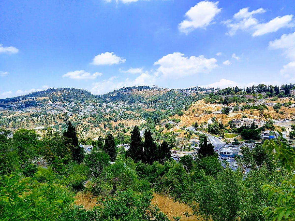
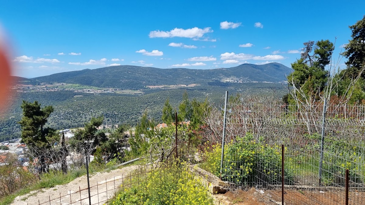
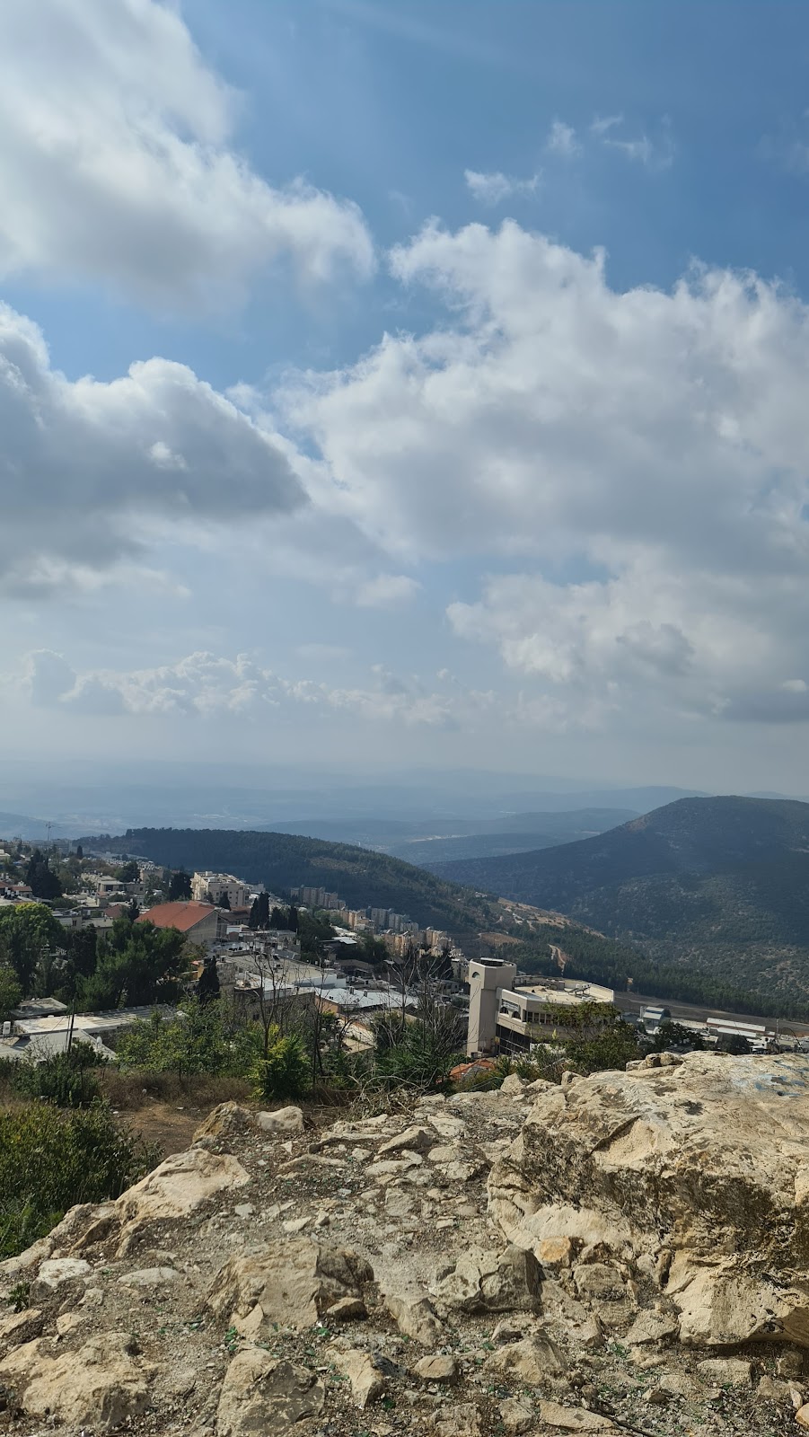
Safed Fortress occupies the southern part of a hill in central Safed, at approximately 834 meters above sea level. The hill lies south of Mount Canaan and Mount Biriyya. Its terrain descends east toward the Jordan Valley and the Sea of Galilee, south toward the hills and valleys of Lower Galilee, and west across the deep wadi of the Amud stream toward the Meron massif. The medieval citadel was arranged as a large fortified enclosure with two concentric defensive walls, towers, gates, internal rooms, water systems, and passages.
Crusader fortifications
The Crusader citadel covered approximately 40 dunams, a traditional eastern Mediterranean unit of land area, and measured about 252 meters from north to south by 112 meters across. Its inner wall had a circumference of about 580 meters, while the outer wall extended for about 850 meters. Both walls are described as approximately 28 meters high. A ditch between them was about 15–18 meters deep and 13 meters wide, and the line of the outer ditch is now followed by Jerusalem Street.
Walls and entrances
The outer circuit contained seven fortified towers, each approximately 26 meters high. The walls incorporated arrow slits and loopholes, while a tall gate tower protected the fortress. Principal entrances stood on the north and south sides, each guarded by towers. Internal passages connected vaulted halls and numerous rooms, and cisterns supplied stored water within the enclosure.
Vaulted hall and masonry remains
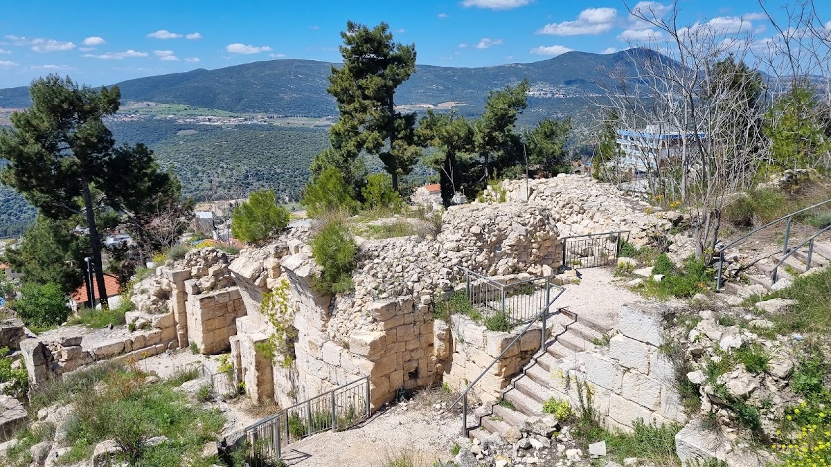
Excavated Crusader remains include a hall with a pointed Gothic vault, a medieval architectural form using pointed arches and vaults. Its columns carry floral decoration. Another surviving feature is a straight ashlar wall, built from regularly shaped dressed stone blocks, measuring 25 meters long and 2 meters wide. It contains arrow slits and niches. A zigzag wall measures approximately 6 meters long and 3.2 meters wide. Transverse beams bear engraved forms resembling axes and hourglasses, while paved passages incorporate drainage channels.
Water storage
A lime-plastered cistern formed part of the fortress’s water system. Its plaster lining was designed to prevent leakage, allowing water to be stored within the fortified complex.
Mamluk additions
Southern victory tower
The Mamluks added two major towers to the fortress. The southern round victory tower was approximately 60 meters high and 35 meters in diameter. It contained a large cistern that supplied drinking water to thousands of soldiers. The surviving remains of the tower and its cistern lie beneath the monument at the summit of the Citadel Garden.
Southwestern gate tower
A second Mamluk structure was a solid gate tower in the southwest of the fortress, measuring approximately 15 by 20 meters. Parts of this tower survive. A paved approach ramp leading to it measured 24 meters long and 7–8 meters wide.
Internal rooms and water installations
A description of the Mamluk fortress records a three-story round tower containing a hall, rooms, a bathhouse, and storerooms. A large underground cistern collected rainwater and could supply the garrison for a full year. Two passages stood in the upper part of the tower, and five harnessed horses could reach it by a compacted ramp without stairs.
Other Mamluk-period remains include sanitary installations linked by a rectangular channel, arches, vaulted structures, and a circular well 10.5 meters deep and 10 meters in diameter. These features formed part of the fortress’s internal infrastructure and supported the garrison occupying the hilltop stronghold.
Objects and later landscape
A large square stone bears a carved lion shown charging or roaring, probably in association with Sultan Baibars. Excavations also recovered locally made and imported pottery, Mamluk and Venetian coins, installations suited to craft activity from the late Mamluk or early Ottoman period, and sixteenth-century maiolica, a type of tin-glazed decorated pottery.
Ottoman-period walls survive principally in the southern part of the fortress. Repeated earthquakes, the removal of building stone, later tree planting, and subsequent deterioration have made these additions difficult to trace. The Citadel Garden is a layered landscape shaped around the hill’s topography, the archaeological remains, surrounding views, and public use. An organized path passes close to the excavated remains.