Shap Stone Avenue: A Prehistoric Stone Monument in Cumbria
Site at a Glance
- Popularity
- Medium
- Country
- United Kingdom
- Primary era
- Stone Age
- Eras represented
- Stone Age, Bronze Age
- Civilizations
- Unclassified
- Site type
- Civic
- Remains
- Megalithic Monument
On this page14 sections
History
Shap Stone Avenue is a prehistoric complex near Shap in Cumbria, United Kingdom. Its construction is conventionally dated to about 2850 BCE, within a broader span from the Late Neolithic, the later Stone Age, to the Early Bronze Age, when bronze came into use. Before much of the monument was destroyed, it was regarded as one of Europe’s largest prehistoric stone monuments.
Prehistoric date and interpretation
Archaeologist Tom Clare placed the avenues in the Late Neolithic, approximately 3200–2500 BCE. His dating drew on evidence from the Goggleby Stone and comparisons with West Kennet Avenue. Clare considered the monument’s arrangement and large pink-granite stones consistent with ritual use, perhaps continuing across several generations.
Interpretations of the complex differ. Archaeologist Aubrey Burl grouped it among the “Cumbrian Circles,” a class of large, relatively uncluttered stone enclosures around the Lake District. Adam Morgan Ibbotson instead proposed that Shap was a stone-built cursus, a long linear prehistoric monument whose purpose is uncertain. Whether the complex also included a henge, a circular enclosure with an inner ditch and outer bank, remains unresolved.
The avenue’s northwest alignment has been interpreted as a possible route north toward Scotland. Mayburgh and the Penrith prehistoric monument complex lie about 11 km north, near the meeting of the Eamont and Lowther rivers. Long Meg and Her Daughters lie about 20 km north along the River Eden.
Antiquarian descriptions and changing understanding
Sixteenth-century antiquary William Camden described lines of large stones extending for nearly a mile, though their purpose was unclear to him. The stones were also called the “Loder Stones,” a name associated with the Lowther family. By the time William Stukeley visited before 1725, much of the monument had already been demolished. He likened it to Avebury and wrote that stones remained along a distance of about a mile and a half.
A 1775 painting by Lady Mary Lowther depicts Kemp Howe and a closely spaced avenue running northwest across a stream toward the Greyhound Inn. Together with descriptions by Camden, Stukeley, Thomas Pennant, Lady Lonsdale and George Hall, it informs later reconstructions. These accounts are difficult to reconcile, and it is uncertain whether every writer had seen the monument firsthand. The complex’s original extent and stone arrangement therefore remain unclear; some natural boulders may also have been incorporated into it in later times.
The medieval place-name forms Hepe and Hep are generally traced to an Old English word meaning “heap” or “pile,” perhaps referring to conspicuous accumulations of stone. A connection to the prehistoric monuments has been suggested, but the name does not establish when or why the stones were given their present name.
Remains
The complex originally extended about 3.2 km and included one or more avenues of standing stones, at least one stone circle and nearby burial mounds. Its surviving features lie east of the River Lowther in the Eden Valley. Today, a damaged alignment runs broadly northwest, but the original plan cannot be established from the remains alone.
Avenue and surrounding landscape
Surviving alignment
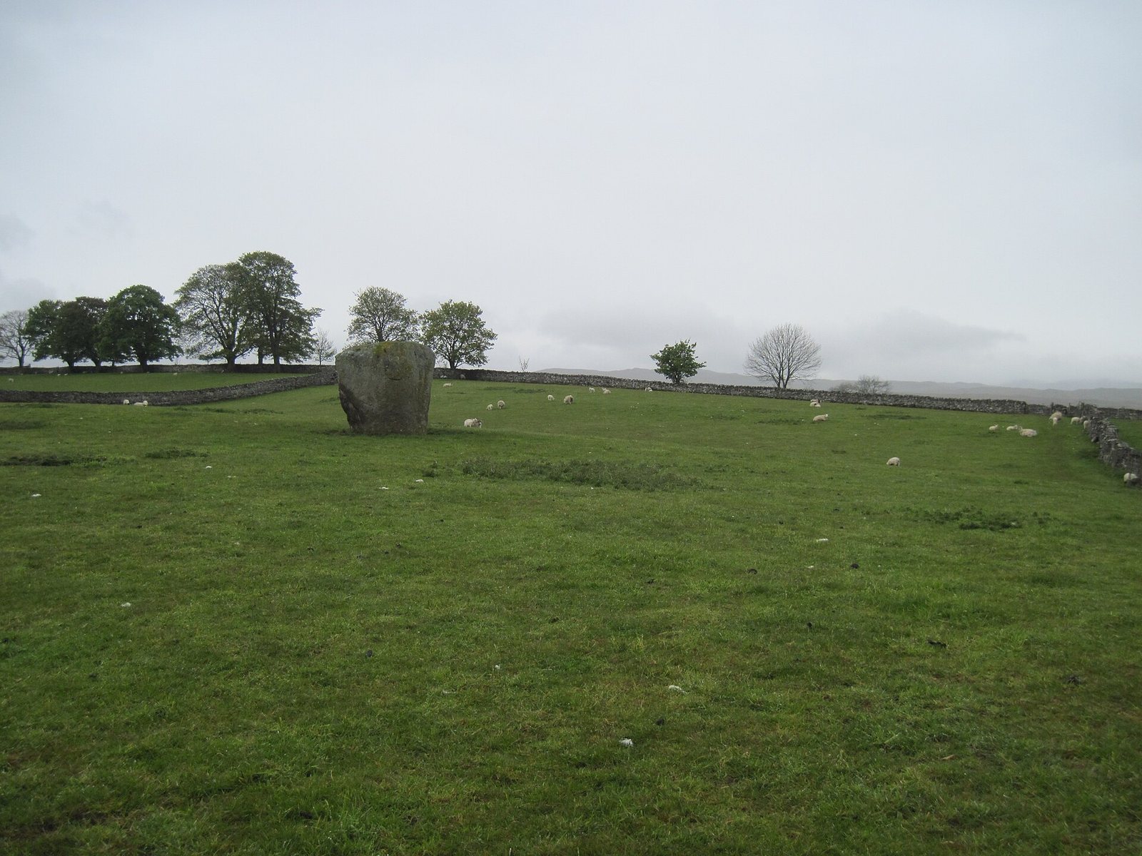
The alignment includes 14 stones, most with individual names. Some remain upright while others have fallen, and many are among the village buildings. Traces of eight avenue stones have been identified; four are visible in fields west of Shap. The stones are local granite. The prominent pyramid-shaped Goggleby and Thunder stones are pink granite and differ geologically from other boulders in the complex.
Possible landscape features include a small lake nearby, a stream at the southern end of the stone lines and a spring within the complex. These features, like the avenue’s precise arrangement, remain uncertain.
Skellaw Hill burial mound
Beside the avenue, about 2.4 km northwest of Kemp Howe, Skellaw Hill is a round burial mound estimated to date to about 2500–1800 BCE. It is also known as the Hill of Skulls or Skellow Hill. Some northern stones appear to point toward it.
Named stones
Thunder stones
The Thunder Stone lies on the surface about 3 km northwest of Kemp Howe and just northwest of Skellaw Hill. It is a glacial erratic, a boulder carried and deposited by ice, and may not have belonged to the constructed avenue. The nearby Small Thunder Stone has a cup mark, a small cup-shaped carving, surrounded by a ring groove.
Asper’s Field Stone
Asper’s Field Stone is a large boulder, about 9 feet high and 5 feet wide, now lying on its side. Two cup marks appear on its upper surface, with a ring surrounding one of them.
Goggleby Stone
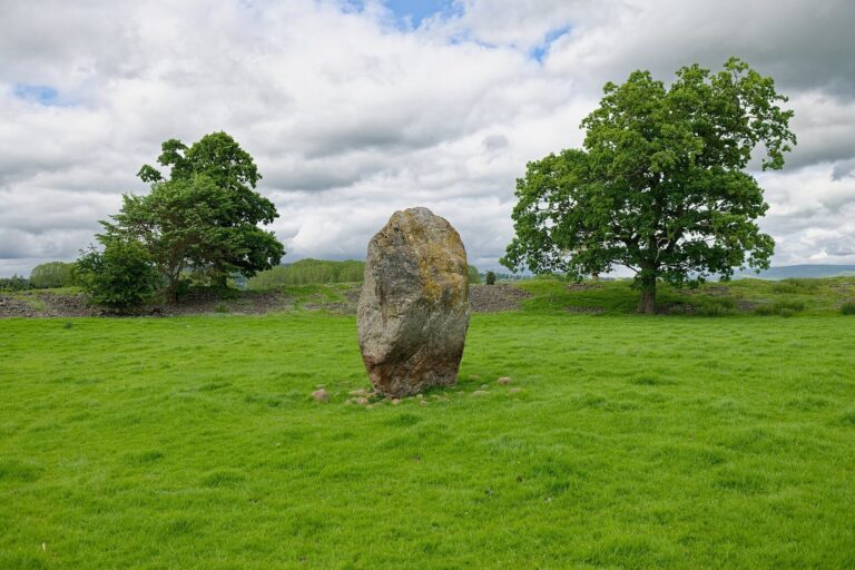
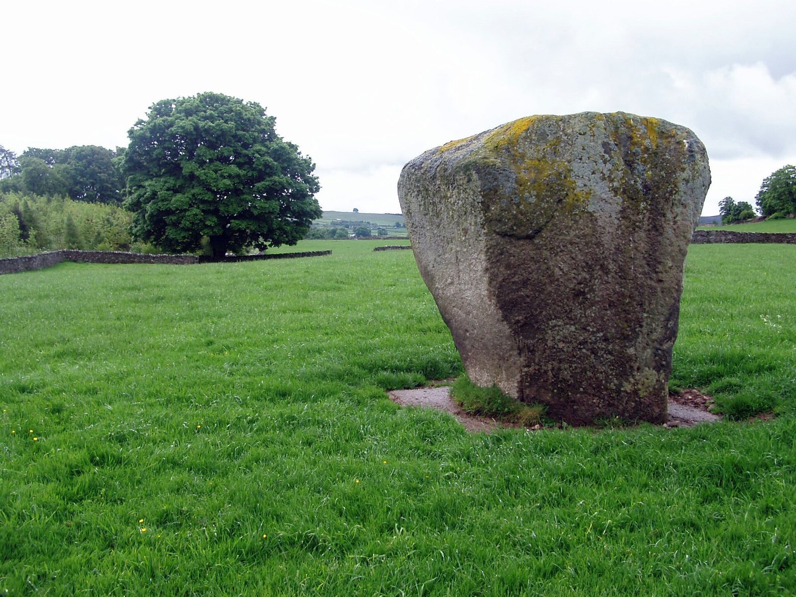
South of Asper’s Field, the Goggleby Stone stands about 3–3.5 m high. A cup mark is carved on its north face, with a shallow artificial depression above it. After excavation, Tom Clare re-erected the fallen stone, whose base is now set in concrete.
Stone circles
Kemp Howe
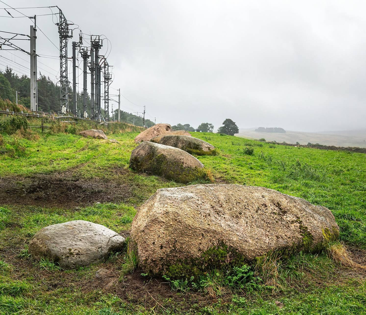
Kemp Howe marks the avenue’s southern end. This badly damaged stone circle stands beside the A6 and a railway embankment. Victorian railway construction cut through the circle, and the embankment now covers most of it. Six large pink-granite stones survive, all fallen; they once formed a circle about 14 m across.
Carl Lofts
A circle said to have stood at Carl Lofts, near the Greyhound Inn, remains an uncertain feature in reconstructions of the complex. A local tradition recorded around 1859 described a circle about 122 m across. It said the central stone was large enough to be cut into seven gateposts, and the stone may have been used in that way.