Kituwa: A Cherokee Mother Town in North Carolina

Site at a Glance
- Popularity
- High
- Country
- United States
- Primary era
- Medieval
- Eras represented
- Medieval
- Civilizations
- Mississippian
- Site type
- Settlement
- Remains
- Town
On this page13 sections
History
Kituwa was a Cherokee town near Bryson City in western North Carolina, United States. Cherokee people regard it as their original town and one of the seven Mother Towns of their southeastern homeland. The settlement was occupied during the Woodland period, an archaeological classification for Indigenous societies in eastern North America. Its platform mound was built around 1000 CE, during the South Appalachian Mississippian period, a regional form of Mississippian culture.
Origins and early settlement
Cherokee oral tradition tells that the people migrated from the Great Lakes region and southern Canada and settled at Kituwa about 4,000 years ago. The timing of Cherokee arrival in the Southeast remains unsettled. Many archaeological and historical interpretations place it between the 14th and 16th centuries, while some support an earlier arrival. Tradition also connects Kituwa with the Creator giving the Cherokee their laws and first sacred fire.
Cherokee tradition attributes the mound to their ancestors, while archaeological interpretations associate its construction with Mississippian cultural communities. The town’s name also became linked with Gituwa, the Middle Cherokee dialect.
Cherokee community and ceremony
A townhouse on the mound served as a place for communal gatherings and decision-making. Cherokee tradition says a sacred flame burned there continuously; another account describes an annual ceremony in which a new flame was lit from the old one. The people of Kituwa, known as the Ani-kitu-hwagi, influenced Cherokee towns along the Tuckasegee, Oconaluftee, and upper Little Tennessee rivers. They helped defend the northern Cherokee frontier against Iroquois and Algonquian incursions, and the town’s name gradually came to be associated with the Cherokee people more broadly. Kituwa also formed part of trade routes connecting Cherokee communities with neighboring peoples.
Cherokee tradition associates Kituwa with the Green Corn Ceremony, a seasonal observance linked to the new harvest and the renewal of communal sacred fires. An ancient dance called ye-lu-le, meaning “to the center,” may have taken place there. Dancers moved toward a central fire, symbolizing the spreading of sacred fire. Coals from a newly kindled fire were carried to Cherokee towns to relight their ceremonial fires before people ate the new corn.
Honoring Kituwa as a Mother Town was compared with honoring Selu, the Cherokee Corn Mother. Cherokee society remained matrilineal well into the 20th century: clan membership, inheritance, and status passed through the mother’s family.
Destruction and displacement
British forces under General James Grant destroyed Kituwa during the Anglo-Cherokee War of 1758 to 1761. The conflict unfolded amid settler violence against Cherokee auxiliaries, colonial encroachment, failures to meet treaty obligations, and disputes over pay for Cherokee fighters. Survivors crossed the Appalachians to Mialoquo, a town on the lower Little Tennessee River among the Overhill Cherokee communities west of the mountains. During and after the American Revolutionary War, the community moved southwest with the Cherokee leader Dragging Canoe and his warriors. Kituwa was not rebuilt.
In the early 19th century, treaties and land cessions transferred Cherokee control of the area to the United States. Following the forced removal of Cherokee people from the Southeast in the late 1830s, European American owners repeatedly plowed the mound and village area to grow corn. The land later formed part of a private property known as Ferguson’s Field.
From the mid-19th century, “Keetoowah” also came to describe Cherokee people associated with religious nationalism and communal practices regarded as pre-contact traditions. After removal to Indian Territory, some Cherokee groups using the name formed secret societies to preserve rituals and sacred ceremonies. The United Keetoowah Band of Cherokee Indians later formed from conservative descendants of Cherokee people who had migrated to Arkansas and Indian Territory in the 1810s and 1820s. It is now a federally recognized tribe.
Preservation and renewed study
The Eastern Band of Cherokee Indians, formed by descendants of Cherokee people who remained in North Carolina, received federal recognition in 1868. It purchased 309 acres, including Kituwa’s mound and former town site, in 1996. Kituwa was listed on the National Register of Historic Places in 1973 for its historical and archaeological importance; the listing covers 20 acres.
Archaeological work that began in 1997 and later surveys strengthened support among Cherokee people for leaving the sacred site undisturbed while considering ways it could contribute to community wellness and renewal. In 2021, the land was placed in trust for the Eastern Band and became sovereign territory under an agreement signed by Principal Chief Richard Sneed. In 2010, the Eastern Band and Swain County opposed a proposed Duke Energy substation near the mound. After a temporary halt and further consultation, Duke agreed to move the proposed tie station away from the mound’s sightline.
Remains
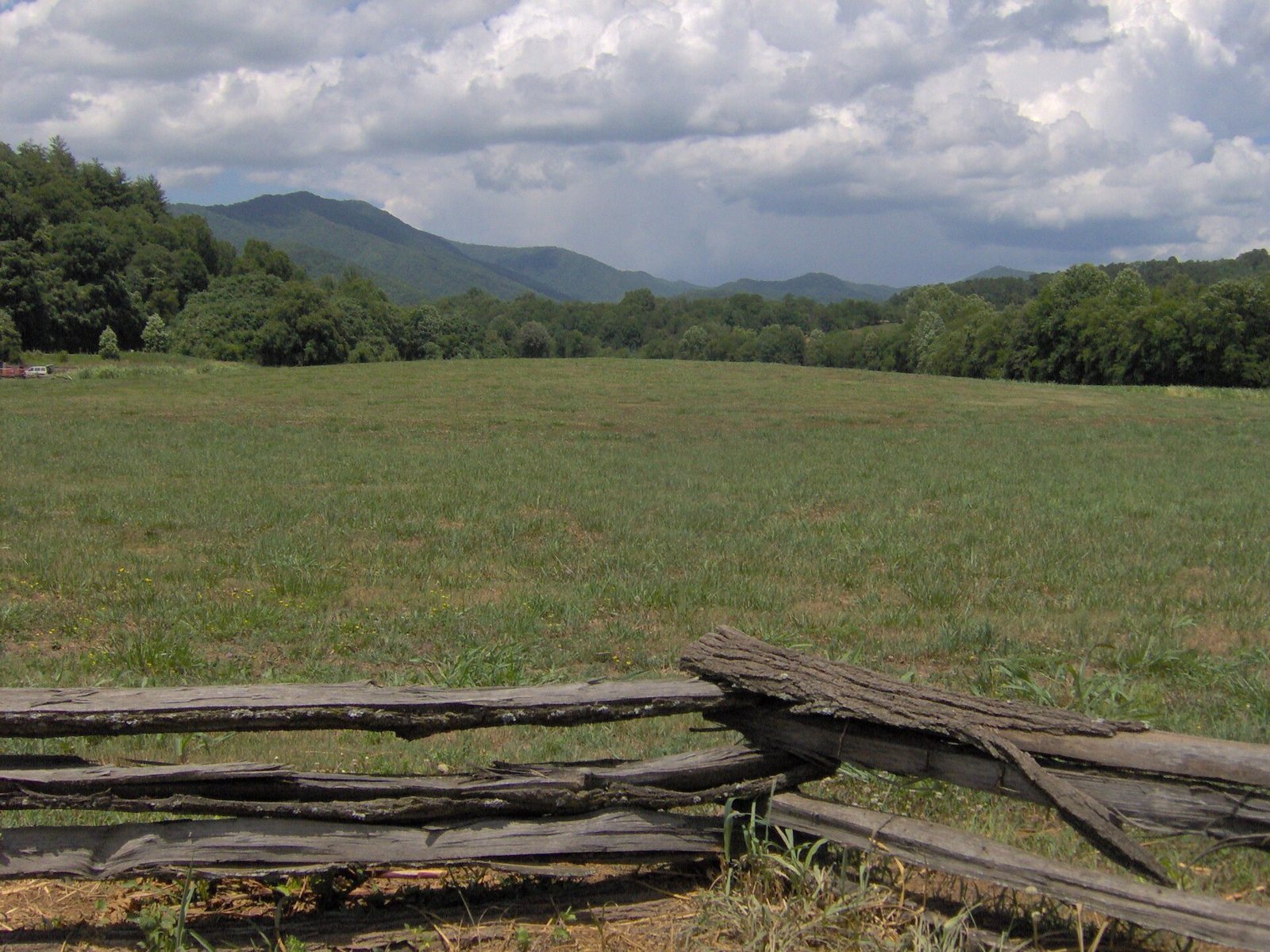
Kituwa lies beside the Tuckasegee River, upstream from its confluence with the Oconaluftee River. The former settlement’s identified village footprint covers about 65 acres (26 hectares). Its principal visible remnant is an earthwork platform mound, with archaeological surveys also locating burials and hearths within the town area.
The mound and townhouse
Platform mound
The mound measures about 52 metres in diameter and stands roughly 1.5 metres high. It is substantially lower than it was originally. Its earthwork form remains the most visible physical feature of the former settlement.
Townhouse
Cherokee oral tradition places the town’s townhouse on the mound’s summit. The structure was replaced repeatedly over the decades. Its position links the mound with the communal life and sacred traditions associated with Kituwa.
Village and buried evidence
Village footprint and artifacts
Archaeological work identified the footprint of an early 18th-century Cherokee village across about 65 acres, as well as thousands of artifacts. These remains reflect habitation spanning thousands of years.
Burials and hearths
Geophysical surveys used a gradiometer, an instrument that detects variations in the magnetic field, to locate 15 burials and numerous hearths. The total number of burials may be as high as 1,000. One hearth at the town’s centre may have been connected with the townhouse’s sacred fire.
Historical marker
A historical marker about Kituwa stands beside a nearby road.