Prosnitzer Schanze: A Strategic Earthwork Fort on Rügen
Site at a Glance
- Popularity
- Medium
- Country
- Germany
- Primary era
- Early Modern
- Eras represented
- Early Modern, Modern
- Civilizations
- Duchy of Pomerania, French, Holy Roman Empire
- Site type
- Military
- Remains
- Fort
On this page9 sections
History
Prosnitzer Schanze is a 17th-century earthwork fort on Rügen’s southwest coast in Germany, about 8 km southeast of Stralsund. It stood at the narrowest part of the Strelasund, the strait between Rügen and mainland Germany, within sight of Stralsund and in a position to monitor its harbor approach and traffic near Brandshagen. The fort also went by the names Neufährschanze and Gustower Schanze. Neufährschanze recalls a ferry crossing that formerly operated there.
Foundation during the Thirty Years’ War
Imperial troops built the first fortification here in 1628 during the Thirty Years’ War, a major European conflict from 1618 to 1648 involving the Habsburg powers and many other states. The simple earthwork was intended to control the harbor entrance and make it harder for Danish forces to intervene.
After negotiations failed to bring Stralsund over to his side, Wallenstein, a Bohemian nobleman and commander of the Habsburg imperial forces, began besieging the city in May 1628. Stralsund resisted with support from Denmark and Sweden.
Swedish control and the wars for Rügen
Swedish intervention drove Wallenstein’s forces from Stralsund and Rügen in 1630. A small imperial garrison held Prosnitzer Schanze and Altefähr Schanze briefly, before Swedish troops captured both. Sweden then maintained and garrisoned fortifications on Rügen.
During the Swedish-Brandenburg War of 1674–1679, Denmark and Brandenburg-Prussia fought Sweden. In September 1677, King Christian V of Denmark landed troops on Rügen. Danish forces took the island, but Prosnitzer Schanze remained Swedish and served as a bridgehead, a position used to support further military movement. Swedish forces brought reinforcements to Rügen and later won at Warksow, about 4 km north of the fort, restoring Swedish control of the island. Many Brandenburg prisoners were compelled to join the Swedish army.
Danish and Brandenburg forces recaptured Rügen later that autumn. On 16 September 1678, Brandenburg troops reached the fort. Its garrison, made up mostly of former Danish and Brandenburg soldiers, mutinied against its Swedish officers and surrendered the position. Denmark helped maintain the fort and other defenses on Rügen and Dänholm. Under the 1679 Peace of Saint-Germain, Denmark and Brandenburg had to return former Swedish possessions, and the fort again came under Swedish control.
During the Great Northern War, a wider conflict from 1700 to 1721 in which Sweden faced changing coalitions, an allied force of Prussians, Saxons, Danes, and Hanoverians captured Prosnitzer Schanze on 17 November 1715. Stralsund capitulated soon afterward. The 1720 Treaty of Frederiksborg returned Stralsund, Rügen, and their fortifications to Sweden.
French expansion and Prussian use
During the Coalition Wars, conflicts between France and coalitions of other European states in the late 18th and early 19th centuries, the French planned a defensive ring of five forts around Stralsund. Work at Prosnitzer Schanze began in 1812, when it was expanded as Fort Napoleon. After the Congress of Vienna, the 1814–1815 settlement that redrew Europe after the wars, Rügen and the fort became Prussian.
During the German-Danish War of 1864, the fort was equipped with cannons but played no major part in the conflict. It remained in military use until 1870, then was abandoned and fell into decay. Today the site is protected as an archaeological monument under Mecklenburg-Vorpommern’s monument-protection law.
Remains
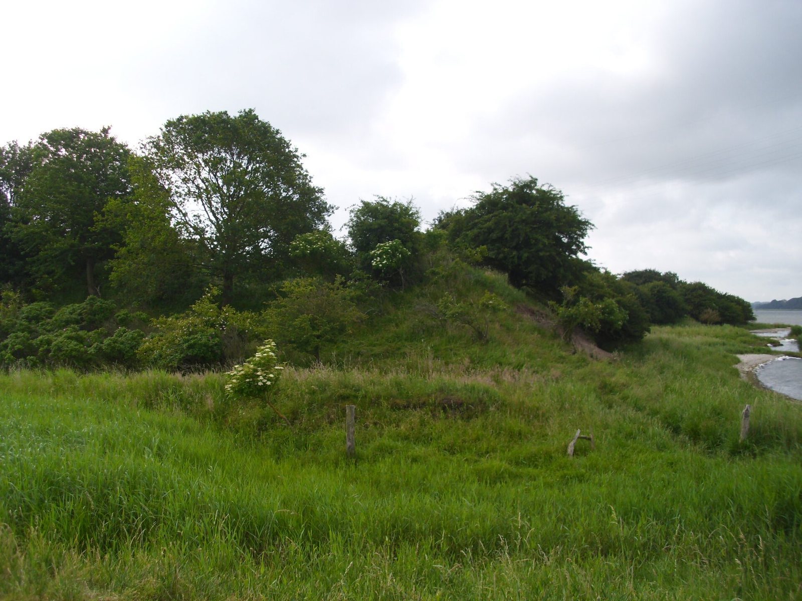
Built without masonry, the fort’s surviving defenses are formed from earthworks. Its plan combines an inner enclosure, outer ramparts, and water-filled ditches, giving the remains a layered defensive layout.
Fortifications
Inner enclosure
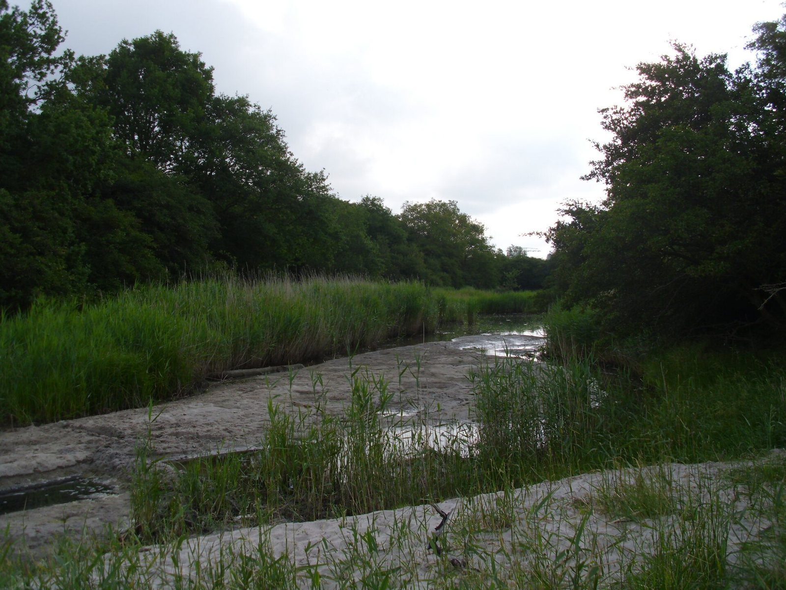
The nearly rectangular inner enclosure measured about 80 by 60 m. A rampart followed its western and southern sides along the shore, while water-filled ditches bordered the eastern and northern sides. A bridge crossed the northern ditch. Rubble from buildings formerly inside the enclosure also survives.
Outer defenses and central work
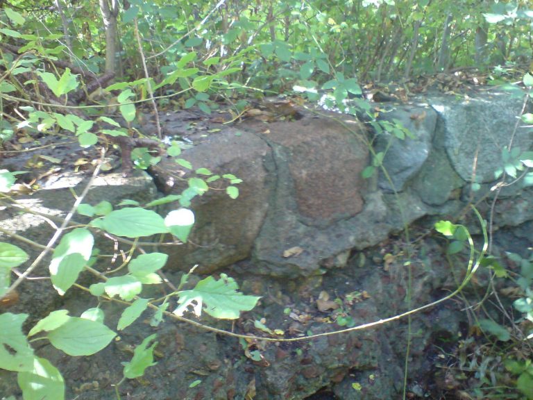
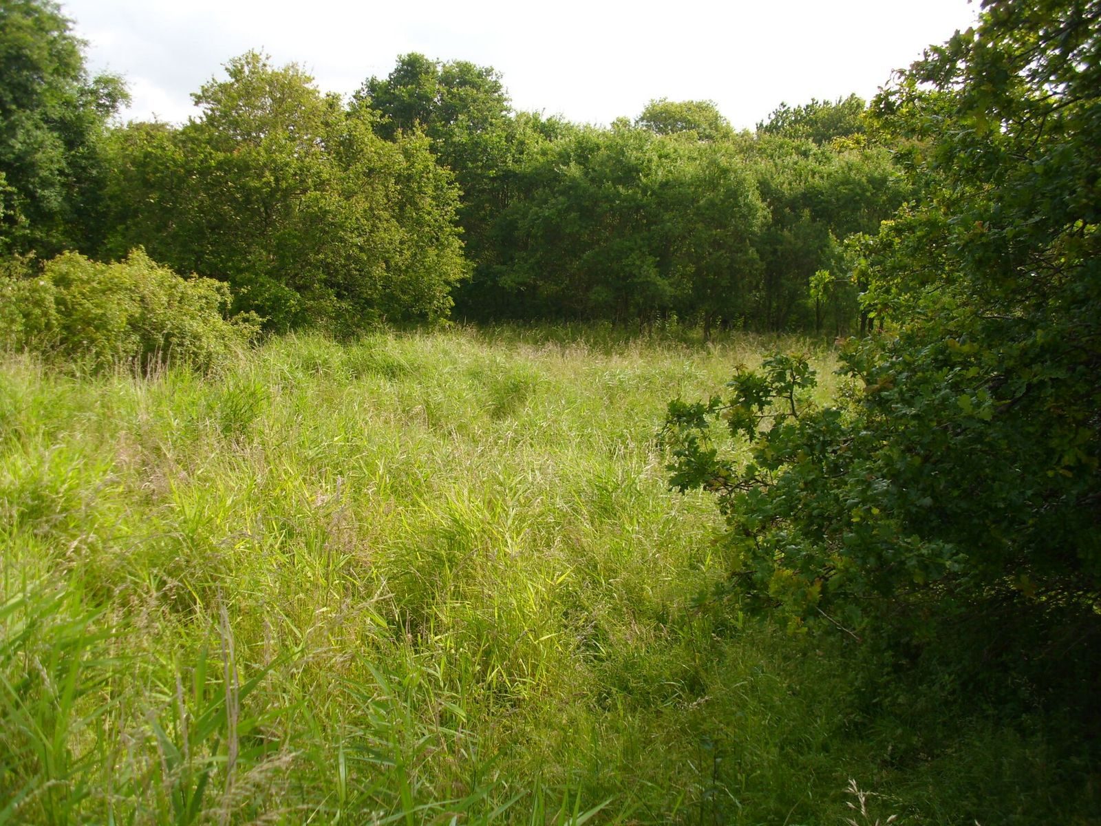
A star-shaped rampart, dating to the 17th and 19th centuries, had water-filled ditches to the north, east, and south. At the center stood a rectangular earthwork with four projecting defensive points and a circular well shaft made from fired bricks. The outer main rampart had two hornworks, projecting defenses with a central wall and two angled wings. After the 1812 expansion, the rampart reached up to 10 m in height. The earthworks are well preserved, and the fort’s geometric plan remains clear in aerial views, though vegetation heavily covers the site.
Stove-tile fragments
Two broken stove-tile fragments found beside the fort in 2006 provide evidence of material from its surroundings. One is black-glazed and has a Renaissance architectural frame. Comparisons place the tile in the first half of the 17th century, while related frame designs also appear in examples from the mid- and later 16th century. The second fragment is green-glazed and comes from a medallion tile.