Fort Santiago: Spanish Colonial Fortress in Manila, Philippines
Site at a Glance
- Popularity
- Very High
- Country
- Philippines
- Primary era
- Early Modern
- Eras represented
- Early Modern
- Civilizations
- Habsburg, Habsburg Spain, Spanish
- Site type
- Military
- Remains
- Fort
On this page14 sections
History
Fort Santiago is a Spanish colonial fortress at the mouth of the Pasig River in Intramuros, the historic walled district of Manila, Philippines. The Spanish began building it in 1571, and its stone fortifications were constructed from 1590 to 1593 in the Italian-Spanish tradition of bastioned defense. The fort served Manila as a major defensive installation and a center of colonial trade.
Early fort and Spanish establishment
Before Spanish rule, a Muslim Tagalog ruler of Manila held a palisaded fort on the site. Its wooden defenses were armed with bronze guns. In 1570, Spanish military commander Martin de Goiti destroyed the stronghold after fighting with Muslim inhabitants.
After the Spanish established Manila on June 24, 1571, Miguel López de Legazpi began construction of a new fort for the city, which became the capital of the colonized islands. The first defenses, built from palm logs and earth, were badly damaged during the invasion and siege led by Chinese pirate Limahong in 1574–1575. Goiti was killed during the siege. Spanish forces under Juan de Salcedo drove Limahong’s fighters to Pangasinan and eventually out of the country. The later stone fort was built alongside Intramuros’s first fortified walls under Governor-General Gómez Pérez Dasmariñas, the colony’s chief Spanish administrative official.
Spanish defense and trade
For 333 years, Fort Santiago served as a major Spanish defense installation and a principal center of the spice trade between the Americas and Europe. It also supported the Manila galleon trade, the trans-Pacific shipping link between Manila and Acapulco. Mexican soldiers formed part of the garrison: their numbers were 22 in 1636, 50 in 1654, 86 in 1670, and 81 in 1672.
British forces led by Brigadier-General William Draper and Rear-Admiral Samuel Cornish captured Manila and the fort on September 24, 1762. The Royal Navy used the fort as a base until April 1764, when a ceasefire with Spain was agreed; the Spanish repaired it after the British occupation. The Luzon earthquakes of 1880 destroyed the fort’s front edifice and altered its appearance.
From Spanish to American rule
José Rizal, regarded as a national hero of the Philippines, was imprisoned at the fort before his execution in 1896. On August 13, 1898, the American flag was raised over Fort Santiago, marking the beginning of American rule in the Philippines. The fort then became a U.S. Army headquarters. American forces drained the surrounding moat and converted the grounds into a golf course.
Wartime destruction and restoration
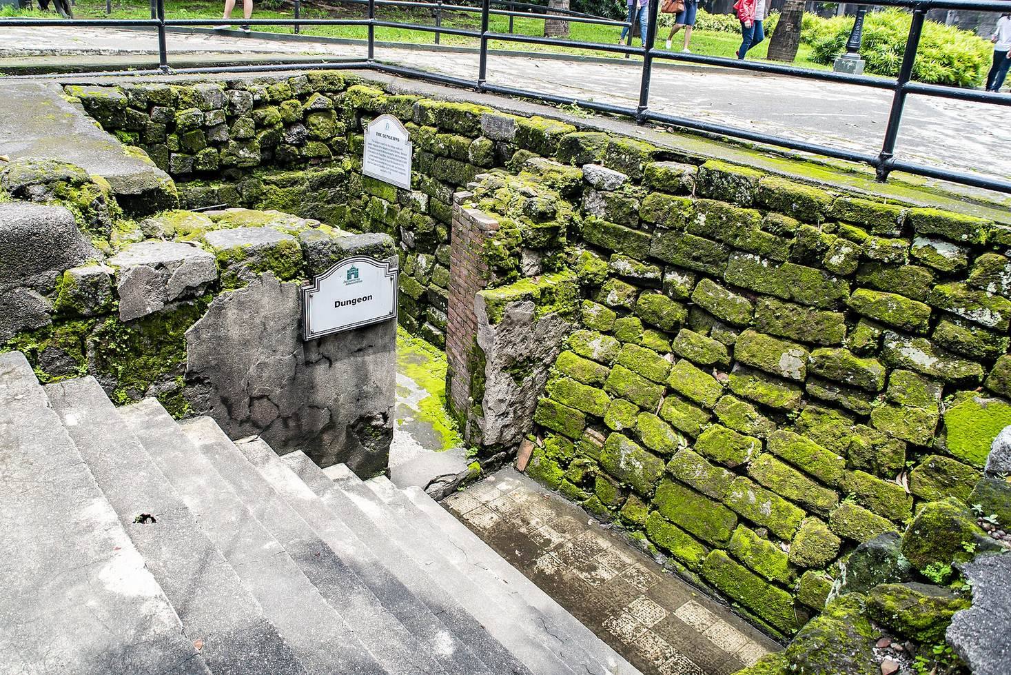
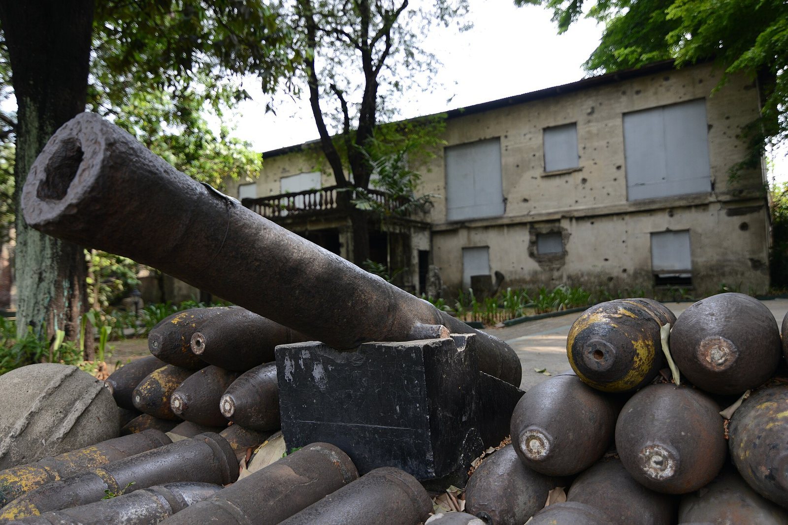
During World War II, the Japanese Imperial Army captured Fort Santiago and used its prisons and dungeons, including storage cells and powder magazines, to hold hundreds of prisoners. Hundreds were killed near the end of the war. About 600 American prisoners of war died from suffocation or hunger after confinement in extremely cramped dungeons. American and Filipino mortar fire heavily damaged the fort during the Battle of Manila in February 1945.
The fort was declared a Shrine of Freedom in 1951, and restoration by the Philippine government began in 1953 under the National Parks Development Committee. The Intramuros Administration rebuilt the gate in 1982 and has overseen the fort’s reconstruction and upkeep since 1992. Fort Santiago is designated a National Historical Landmark and forms part of a historical park that also includes Plaza Moriones and several ruins.
Remains
Plan and construction
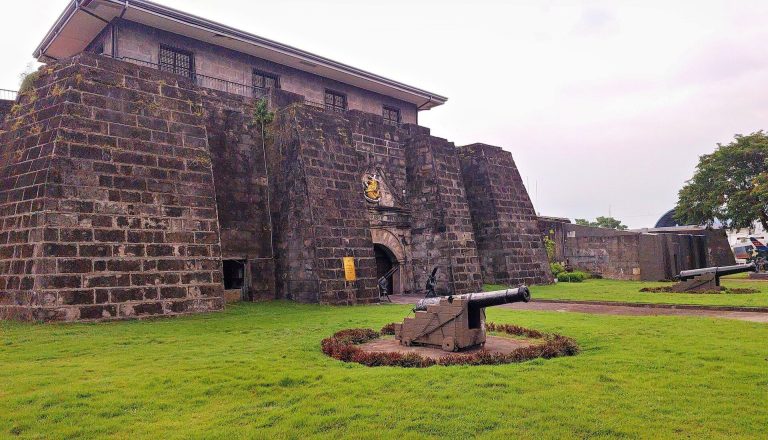
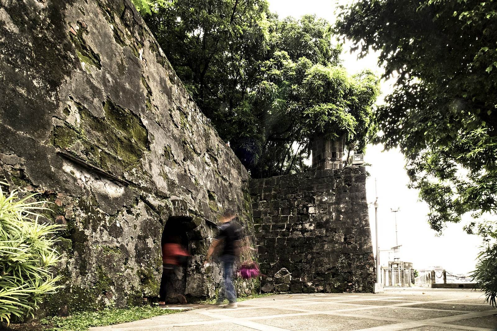
The fort stands beside the river mouth, with a perimeter of about 2,030 feet (620 m). Its overall form is nearly triangular, while the stone fort’s plan is trapezoidal. It is a masonry work in the early-modern Italian-Spanish tradition of fortification, with bastions, projecting defensive structures. Its walls are about 22 feet (6.7 m) high and 8 feet (2.4 m) thick. Volcanic tuff quarried at Guadalupe, now Guadalupe Viejo in Makati, was used in the stone construction. In its early form, the fort had no towers and presented a straight gray front toward the river mouth. Plain connecting walls extended the flanks to the city-facing side.
Defensive layout
City-facing front and moat
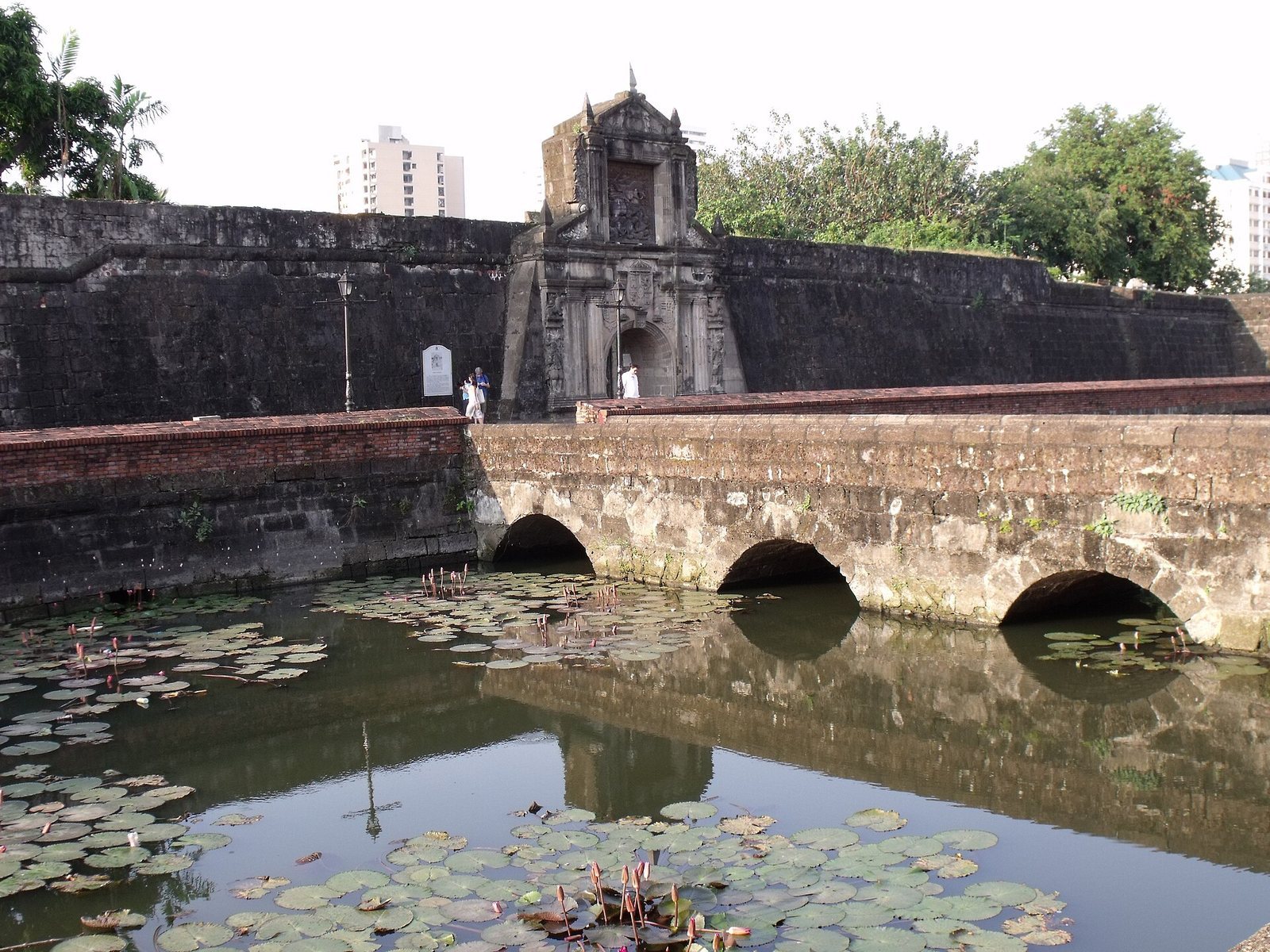
The south front faces the city. Its connecting wall carries a level fighting platform atop the rampart and is flanked by two half-bastions, San Fernando on the riverside and San Miguel on the bayside. A moat linked to the river separated the fort from the city. Along the inner edge of the moat, a low protective wall connects the two bastions.
Santa Barbara and the river defenses
Near the start of the north face, the raised gun position at Santa Barbara has three faces of gun positions, aimed seaward over the anchorage, toward the entrance, and toward the river. The river-facing position joins a tower as high as the fort walls and descends to a water-level gun platform on a semicircular base. Arches supported an open gun platform and formed vaulted chambers for lower-level firing through openings in the walls. During the 1730s, a large semicircular gun platform was added in front of the Santa Barbara bastion, with a smaller one on the river flank. The chambers were filled and their gun openings closed.
Entrances and garrison buildings
Main gate and river entrance
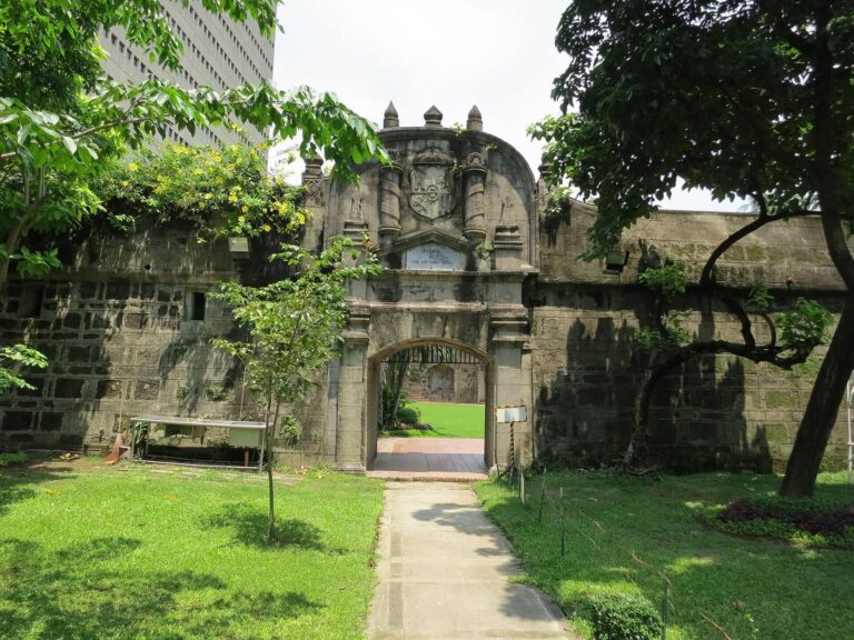
The monumental gate stands in the south wall, facing the city. Its façade is about 40 feet (12 m) high and bears a relief of Saint James, the patron saint of Spain. Built in 1714, the gate was destroyed during World War II and reconstructed in 1982. A smaller secondary gate, the Postern of Our Lady of Solitude, provided communication with the river and sea.
Interior facilities
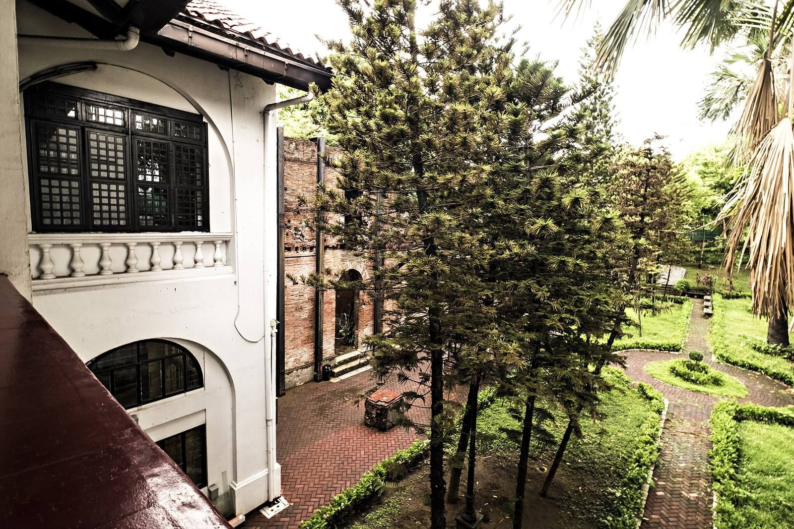
The fort’s interior included guard stations, barracks, quarters for the warden and his subordinates, storehouses, a chapel, a gunpowder store, sentry towers, and water cisterns. The military barracks were built in 1714.
Plaza de Armas and Rizal memorials
Plaza de Armas, the fort’s central open square, contains the Rizal Shrine and a dungeon. The shrine museum displays memorabilia associated with José Rizal and includes a replica of his ancestral house in Laguna province. Bronze footsteps set into the ground trace his final walk from his cell toward the place of his execution.