Keoti Fort: A Defensive Stronghold in India
Site at a Glance
- Popularity
- Medium
- Country
- India
- Primary era
- Early Modern
- Eras represented
- Early Modern
- Civilizations
- Rajput
- Site type
- Military
- Remains
- Fort
On this page6 sections
History
Foundation
Keoti Fort is a defensive stronghold in India. It is traditionally dated to 1500 and attributed to Raja Parmal Dev, a Baghel Rajput ruler and son of Rewa’s Maharaja. Baghel Rajputs were a clan historically associated with Rewa and Baghelkhand.
Keoti during the 1857 uprising
During the Indian Rebellion of 1857, a major uprising against British rule, Ranmat Singh Baghel became a prominent rebel leader in Baghelkhand, a historic region of central India. A descendant of Kothi State’s royal family and a commander in the army of Rewa’s Maharaja Raghuraj Singh, he took refuge at Keoti Fort with his uncle, Shyam Shah Baghel. In a battle at the fort, Ranmat Singh killed a British official who had come to arrest him and defeated the British force.
Ranmat Singh also defeated British troops at Nagod, Bhilsain, Chitrakoot and Nowgong. Kothi State, a princely territory ruled by a local monarch under British paramountcy, supported the rebels. Its ruler, Raja Bahadur Avdhoot Singh Baghel, supplied shelter, ammunition, food and money, and helped recruit fighters.
Rewa’s ruler urged Ranmat Singh to surrender, promising that he would not be killed. Dinbandhu Pandey, Rewa’s senior minister, informed the British, and Ranmat Singh was captured. He was hanged in 1860 for the murder of British officers and his role in the uprising.
Remains
Setting and layout
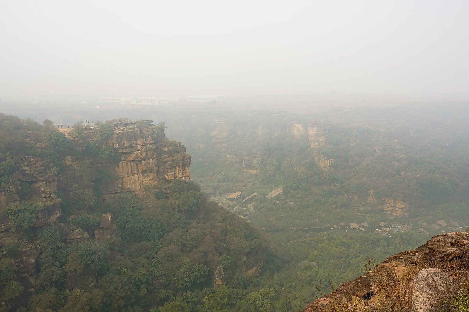
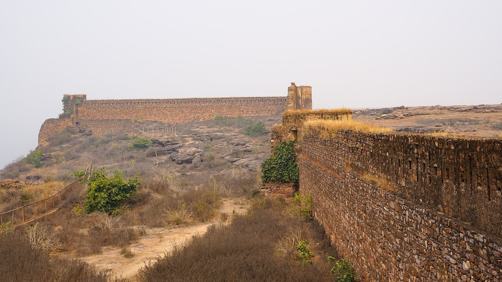
The fort stands 280 metres above sea level on the Rewa Plateau, near the northern end of the Vindhya Escarpment, the steep edge of the Vindhya highlands. It occupies the right bank of a ravine cut through the escarpment by the Mahana River. Across the ravine, Keoti Falls drops 98 metres and is visible from the fort’s northern part.
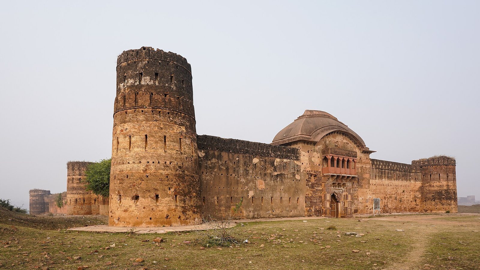
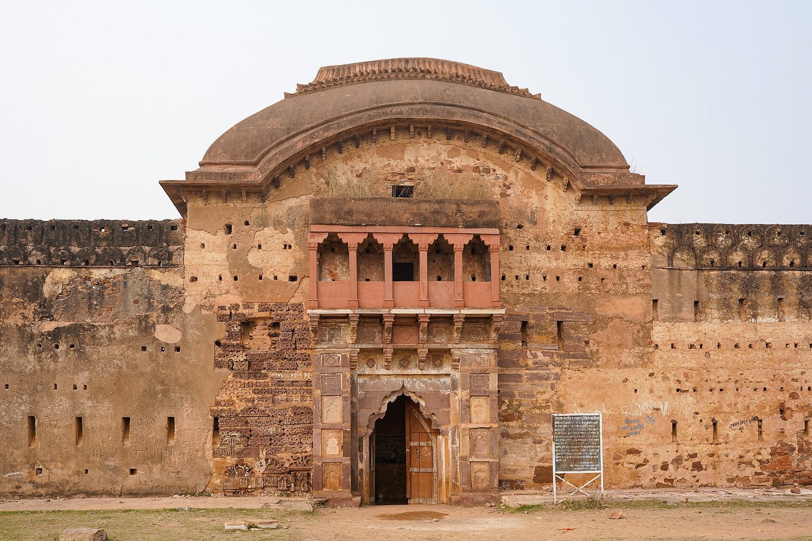
The walls enclose about 1.0 hectare. The west wall follows the ravine for roughly 200 metres, while the south wall runs about 100 metres east from it. The east wall, which holds the main entrance, is about 40 metres long. Beyond this wall, the fort narrows to a depth of about 25 metres at its northern end. Towers stand at the outer corners.
Walls and defenses
Stone set in clay mortar forms the fort walls, which are now dilapidated. Loopholes, small openings for firing weapons, occur at regular intervals and at varying heights. Each opening offers three firing angles, a defensive arrangement intended to cover attackers approaching across the flat plateau.