Barenburg: A Fortification of Uncertain Date in Germany
Site at a Glance
- Popularity
- Medium
- Country
- Germany
- Primary era
- Unclassified
- Eras represented
- Unclassified
- Civilizations
- Unclassified
- Site type
- Military
- Remains
- Fort
On this page12 sections
History
Barenburg is a hilltop fortification in Germany, though its date and original purpose remain uncertain. Its position and form have been interpreted as evidence for a pre-Roman Iron Age origin, but an early medieval date is also possible. Comparable forts in the Middle Weser and Leine regions are now generally dated between the eighth and twelfth centuries. Earlier interpretations classified such sites as Saxon fortifications, associated with the Saxons, a Germanic people of northern Europe, or as Henry castles attributed to Henry I, a tenth-century East Frankish king.
Dating and refuge use
The size and construction of Barenburg have been taken to indicate that it served as a refuge for local people in times of danger. Its use for shelter may have continued into the Middle Ages, when the fortification belonged to nearby Wülfinghausen Monastery. Its precise chronology and function remain estimates rather than settled conclusions.
Looting and archaeological surveys
In 1988, Iron Age metal objects said to come from Barenburg were offered for sale at a coin fair in Hanover. A police investigation led to a group in Berlin, where about 400 objects from the La Tène period, a later phase of the European Iron Age associated with Celtic material culture, were seized. Records kept by the looters enabled the objects to be linked to Barenburg and returned to archaeological study. Their removal outside controlled archaeological work substantially reduced their value for understanding the site. The looters were later convicted by Springe Local Court. After the case came to light, the Lower Saxony State Office for Monument Preservation conducted extensive preventive archaeological surveys.
Proposed Iron Age conflict
Archaeologist Erhard Cosack proposed that Celts attacked Barenburg and the Amelungsburg during the later Iron Age and carried away Barenburg’s inhabitants. A hoard from Manching, a large fortified settlement, contained belt and brooch fragments resembling finds from both forts. Cosack regarded these similarities as support for identifying the attackers as Celts; comparable forms were not known from southern Germany.
Battle of Süntel
Another interpretation connects finds from Barenburg and the Amelungsburg with the Battle of Süntel in 782. The battle was an engagement in the Saxon Wars, campaigns between the Saxons and the Frankish Empire under Charlemagne. Archaeologists have proposed that Saxon troops gathered at the two refuge forts.
Two mounted warriors discovered in chamber graves at Sarstedt in 2001 have also been considered relevant to this interpretation. Each was buried with a horse and equipment that included a thrusting spear, a short sword, and a shield. The burials showed fatal injuries, including a hole in a skull and a missing lower leg.
Remains
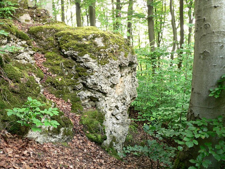
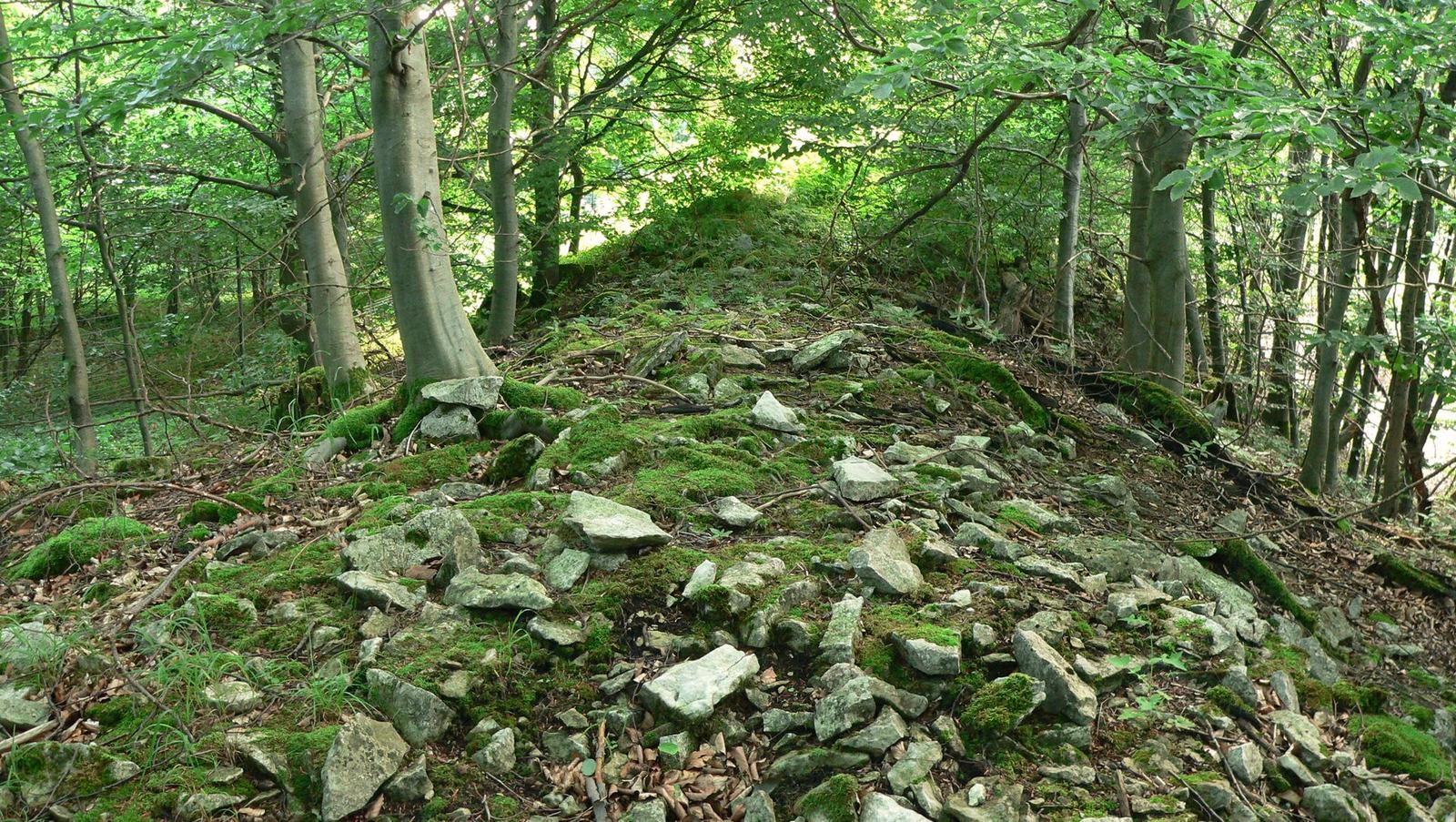
The fortification occupies a wooded, steep-sided ridge on the eastern edge of the Osterwald, about 350 metres above sea level. The ridge projects toward the lowlands and offers wide views across the Calenberger Land. Barenburg lies about three kilometres south of Eldagsen and one kilometre west of Wülfinghausen Monastery, and parts of the site are now overgrown by forest. Its enclosure covers about 5.5 hectares, placing it among the larger forts of its type.
Terrain and defensive circuit
Natural slopes and ramparts
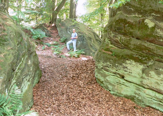
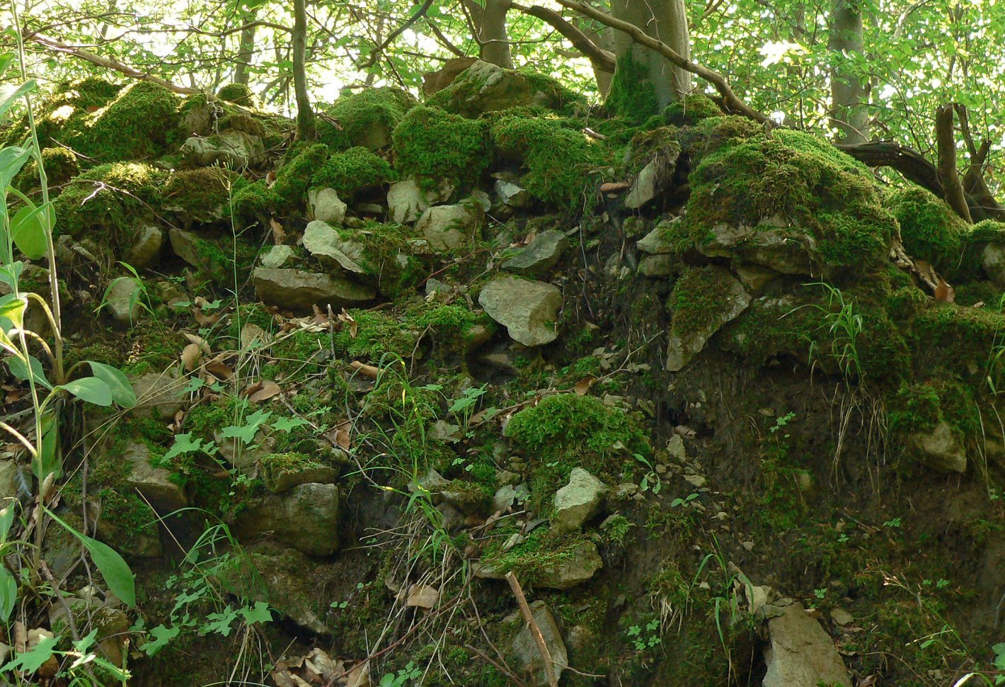
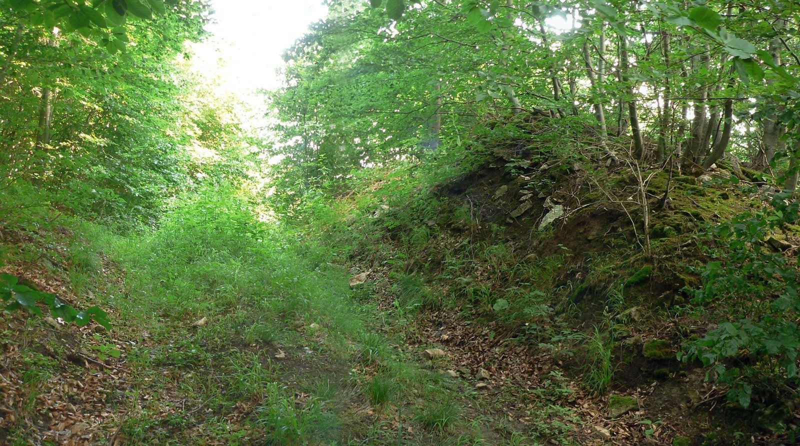
The layout uses the steep terrain as part of the defences. On the northwest, abrupt rock faces descend toward the lowlands, while steep slopes protect the eastern side. A substantial stone rampart, about 280 metres long, runs along the southern side. Together with the remains of a ditch in front, it still rises several metres high; some stretches also have an outer rampart. Smaller rampart sections about 300 metres south of the enclosure may have served as barriers to approaching attackers.
Southern opening
A gap in the southern rampart may mark an earlier entrance, though it could instead be a later breach. Ground disturbance caused by forestry work has made it impossible to reconstruct the opening with confidence.
Survey finds
Objects from the enclosure
Survey finds distributed across the interior include metal tools, household and agricultural equipment, jewellery components, and weapon fragments. Many show damage. Spearheads are bent or marked by cuts and blows, axe blades are broken, sickles have notches, brooches are bent, and belt hooks have been torn from belts. Knives, arrows, spearheads, and riding spurs are also among the finds associated with the possible Battle of Süntel.
Traces on the slope
Traces of shoe nails descend a steep slope with a drop of about 100 metres. Objects found alongside them may have been lost or discarded as people fled.