Hessilhead: A Scottish Castle and Estate near Beith
Site at a Glance
- Popularity
- Medium
- Country
- United Kingdom
- Primary era
- Medieval
- Eras represented
- Medieval, Early Modern
- Civilizations
- Kingdom of Scotland
- Site type
- Military
- Remains
- Castle
On this page19 sections
History
Hessilhead is a historic estate and castle site near Beith in North Ayrshire, United Kingdom; the castle’s earliest phase dates broadly to the fifteenth or sixteenth century. The estate became a seat of the Montgomerie family and formed part of the Lordship of Giffen and the Barony of Hessilhead, a landed estate and local jurisdiction.
Eglintoun and Montgomerie inheritance
Hugh de Eglintoun is the first recorded holder of the lands, which he received after a forfeiture. The family’s history reaches back to Eglin, Lord of Eglintoun, during the reign of Malcolm III, king of Scots from 1058 to 1093. Eglin may have been one of the Saxon barons who accompanied Malcolm on his return to Scotland.
The lands passed through Elizabeth de Eglintoun, her family’s sole heir. She married Sir John de Montgomerie of Eaglesham, and the Montgomeries inherited Hessilhead after her father, Hugh Eglintoun, died soon after 1378. In later records, the place appears under spellings including Hazlehead, Hasslehead, and Hyslehead.
Sir John Montgomerie of Hessilhead and Corsecraigs inherited the estate from his father, Hugh Montgomerie of Bawgraw. He was killed at Flodden in 1513, when an English army defeated the Scots. His son Hugh died on 23 January 1556. Hugh’s heir, John, became a tutor to the third Earl of Eglintoun and married Margaret Fraser of Knock. John’s son Hugh succeeded in 1558 and sat in the Convention Parliament of 1560, which established a Protestant confession of faith in Scotland.
Feud and seventeenth-century succession
A violent feud with the Thirdpart family began in July 1576 after the Lady of Hessilhead slapped Robert Kent, a servant of Gabriel Montgomerie. Gabriel and Kent later entered Hessilhead Castle and assaulted her. Gabriel also intended to shoot Hew Montgomerie, the laird. Hew hurried to Thirdpart, where John and Gabriel attacked and wounded him, leaving him for dead. Neighbours rescued him and brought him back to Hessilhead Castle, where he recovered.
Men from Hessilhead, probably from Nethertoun, later ambushed and killed Gabriel. On 26 August, John Kent and his brother Walter attempted to kill Hew but failed to find him. The court cases ended without guilty verdicts: the feud was treated as settled after both sides had received satisfaction for their honour.
Hugh’s son Robert inherited Hessilhead in 1602 and passed it to his own son around 1623. That Robert served as an Ayrshire Commissioner of Supply, a county official involved in taxation and local administration. His son, who succeeded in 1648, represented the county in the first parliament of Charles II. His daughter Mary married MacAulay of Ardincaple.
Francis Montgomerie and public life
In 1680 Robert Montgomerie sold Hessilhead to Francis Montgomerie, the second son of the seventh Earl of Eglinton. Francis held senior public offices under William III and Queen Anne, including membership of the Privy Council, the monarch’s advisory body, and service in the Treasury. In 1706 he became one of Scotland’s commissioners negotiating the Treaty of Union, which led to the union of Scotland and England in 1707.
In 1697 Francis also joined a commission investigating witchcraft after the Christian Shaw case, a prosecution of the 1690s associated with accusations made by Shaw. Earlier in the seventeenth century, Robert Montgomerie had acquired overarching rights to former lands of the Knights Templar, a medieval religious and military order, in Cunninghame and the Kilwinning territory. The land was valued largely because it was almost exempt from taxation. It passed to the Wallaces of Carnell around 1720, and Dr Robert Patrick later acquired the associated rights. Their practical value declined after inherited judicial powers were abolished in 1747.
Later ownership and local tradition
Francis’s son John accumulated debts, and Hessilhead was sold by judicial order in 1722 to Colonel Patrick Ogilvie, who had married John’s sister Elizabeth. Ogilvie sold it to Robert Brodie of Calderhaugh, who in turn sold it to Michael Carmichael in 1768. The family of Lord Glasgow occupied Hessilhead in a later period. Around 1776 the proprietor removed the castle roof and left the building to decay.
Dr Robert Patrick bought the estate in 1807. John Shedden Patrick became his heir in 1838, and Robert Shedden Patrick succeeded in 1844. Dr Patrick planned a new mansion near the castle ruins. Maps show the estate under changing spellings, including Hazlehead in 1747–55 and 1775, and Hazelhead in 1832.
A local legend links Hessilhead to Henry Montgomerie and Anna Cunninghame of Aiket, who had promised to marry after his return from the Crusades, medieval Christian military expeditions, especially those directed toward the eastern Mediterranean. Allan Lockhart falsely told Anna that Henry had died, and her wedding was arranged. Henry returned, but fell from his horse and died on the wedding day. At the feast, an armoured figure identified as Neil Montgomerie appeared, lifted Anna, and vanished with her. Neither Anna nor the soldier was found.
Remains
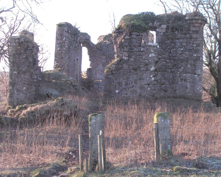
The surviving features include the castle site, estate grounds, a small farm settlement, mill buildings, and nearby landscape remains. Hessilhead Castle was an oblong, two-part structure of rubble masonry, about 22.5 metres long and 11.7 metres wide.
Castle and grounds
Hessilhead Castle
The western section was probably the castle’s keep, its principal fortified tower. Francis Montgomerie added the eastern section. Both parts had arched, vaulted ground floors. By the late nineteenth century the upper storeys were too damaged for detailed description.
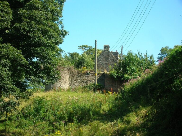
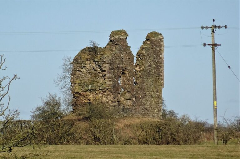
A 1949 photograph shows substantial ivy-covered masonry among lawns, shrubs, trees, and maintained paths. The Royal Commission’s 1956 survey described the castle as demolished, yet Howie of Dunlop ordered surviving ruins blown up in the 1960s. Rubble and foundations remain visible at the site.
Loch, ditches, and designed grounds
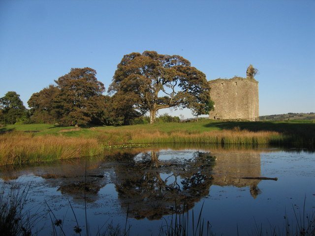
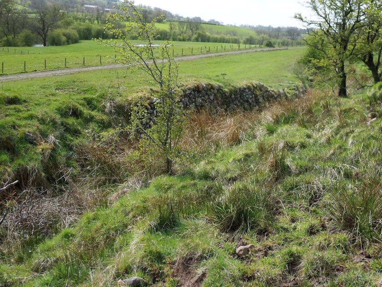
Around 1604 Timothy Pont described the castle as standing beside a loch and protected by substantial ditches. Hessilhead Loch was later drained and the ditches filled. Quarry drainage now follows the former moat’s course, while quarrying altered the ground around possible traces of the defensive works.
A garden enclosed the castle by about 1887–92. The estate grounds also had extensive ornamental rides and plantations, and trees were reportedly planted in the shape of a cross. A walled garden beside Hessilhead Cottage had fallen into ruin by 1897. A gamekeeper’s cottage and nearby pheasantry were present by 1912, as was a curling pond northwest of the castle ruins. A 1827 map marks a lime works in the grounds. A flooded limestone quarry near the castle is now used by the Hessilhead Wildlife Rescue Centre to rehabilitate swans and other waterfowl.
Farm settlement and mills
Hessilhead farm settlement and school
The small farm settlement, also called Haselet and Nethertoun, appears on William Roy’s map from the 1740s. A map of 1858 shows a school, the dwelling Damback, a sawmill, and a nearby mill dam. The settlement is considered a rare surviving example of an eighteenth-century farm town, a small rural community associated with a farm.
The school began as a single-storey, thatched building. In 1844 it gained a second storey, a slated roof, and substantial external steps; it had closed by 1897. Matthew Pollock, who had attended the school, took its bell to his works in Beith, where it marked the start and end of the working day. Howie’s of Dunlop acquired the bell in the 1930s. It is now at Netherhouses, near old Templehouse in Dunlop.
Cottages and smaller estate features
Hessilhead Cottage stood beside the walled garden. Duskwater Cottage served as a blacksmith’s and cobbler’s workplace. A well about 30 feet deep survives there, covered by a sandstone slab pierced for a hand pump. These buildings stood among a wider group of estate features, including the gamekeeper’s cottage and pheasantry.
Hessilhead Mill
The mill itself has been demolished, but its circular grain kiln remains attached to the ruined miller’s house. The water channel and its sluice, a gate controlling water flow, can still be traced. Steps once descended to a waterwheel that was buried in place. Beside Dusk Water, a Victorian-era pump powered by a small waterwheel survives, with a sluice and low weir directing water toward it.
Coldstream Mill
Coldstream Mill, also called Whitestone Mill, served the Hessilhead Barony and castle. It was first mentioned in 1728 and may have been built around 1673 during improvements associated with Francis Montgomerie. After enlargement, it ground animal feed and processed linseed cake, beans, maize, and barley. Three sets of millstones were available, with two in use while the third was dressed. The mill relied on its pond, without electricity or other auxiliary power.
The mill was converted into a private house, with its waterwheel and pond preserved. Some of its equipment is displayed at Dalgarven Mill museum.
Estate buildings and associated sites
Balgray
Balgray, once part of the estate and owned by the Montgomeries in the sixteenth century, retains a cottage and barn from a larger group of farm buildings. The barn’s lintel gives the date 1797. Its blocked arched opening suggests it may have served as a cart shed, and ventilation slits pierce each side. The small wing of the 1767 cottage may have been used for storage or cattle. A surviving pigeon house indicates that pigeons were kept in the loft above. The altered cottage retains small eighteenth-century windows, shaped stones at the base of its sloping gable, and a concave moulding beneath the eaves.
Hessilhead loft at Beith Auld Kirk
The Hessilhead loft occupied the east wing of Beith Auld Kirk. When a new church was built, the loft and its carved wooden Montgomerie coat of arms were removed. The arms showed a blue shield with two tournament lances between three gold lilies. A gold ring set with blue stones appeared above the shield, which had a notch on its left side as viewed.
Cuff Hill
The rocking stone on Cuff Hill is a large boulder of glacial origin, made of greenstone and resting on porphyrite, an igneous rock. People dug beneath it to find its pivot, and their digging stopped it from rocking. It stands in a small wood within a circular stone wall built without mortar. A cleft in the hill’s western face is called St. Inan’s Chair and was said to have served as the saint’s pulpit. A nearby holy well had been covered by 2006.
Four standing stones known as the Druids’ Graves were rediscovered in 1813. They stand within a stone enclosure built without mortar. A possible pre-Reformation chapel site is also identified near Kirklee Green and Lochland’s Loch.
Trearne chapel and burial ground
At nearby Trearne, a chapel and well dedicated to St. Bridget stood on a low hill beside a burial ground. A recess held a much-worn carving of two figures, about 64 by 38 centimetres. Quarrying destroyed the chapel remains.