Pharaoh’s Island: A Medieval Fortress in Egypt
Site at a Glance
- Popularity
- High
- Country
- Egypt
- Primary era
- Medieval
- Eras represented
- Iron Age, Medieval, Early Modern
- Civilizations
- Ayyubid, Byzantine, Mamluk, Ottoman, Phoenician
- Site type
- Military
- Remains
- Castle
On this page8 sections
History
Early port and settlement
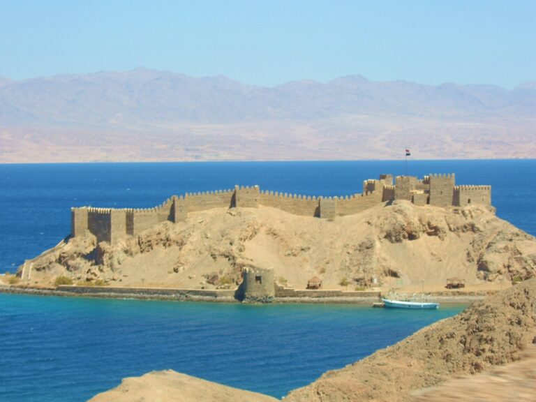
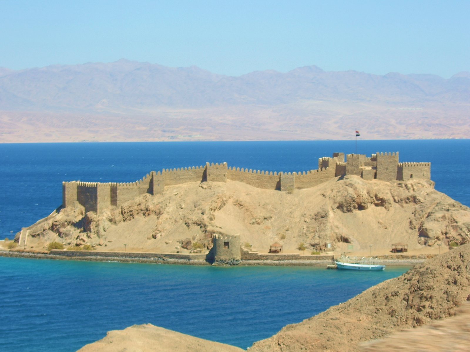
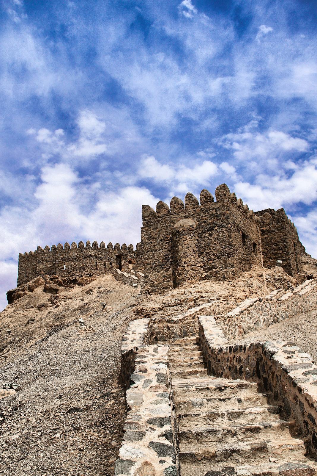
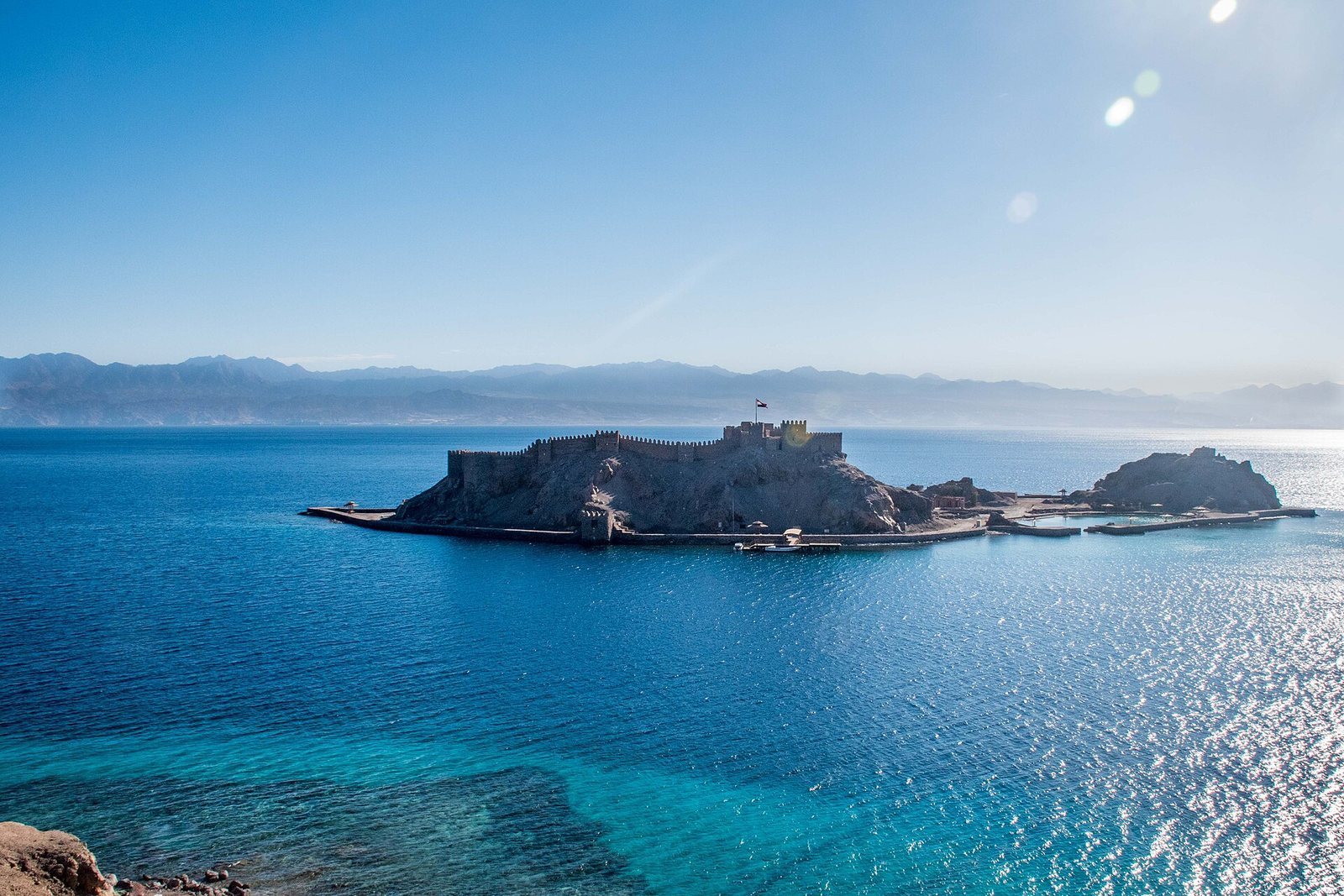
Pharaoh’s Island is a granite island with a medieval fortress in the northern Gulf of Aqaba, off Egypt’s Sinai coast. The fortress was most likely built under the Ayyubids, a Muslim dynasty founded by Saladin, in the late 12th or 13th century. The island lay where sea routes to southern Arabia and East Africa met overland routes leading toward Syria and across Sinai into Egypt. Its earliest historical association is with the reign of Hiram of Tyre, a Phoenician king who ruled from 969 to 936 BCE.
A long-standing but disputed proposal identifies the island’s harbor as Ezion-Geber, a port named in the Bible. Fyodor Schubert advanced the identification in 1837; Beno Rothenberg, Alexander Flinder, and Avner Raban later supported it. One related interpretation holds that Phoenicians established a port to serve Egyptian copper-mining activity, then restored or expanded it for Solomon, the biblical king. Rothenberg also connected the island with Egyptian expeditions to Timna, a copper-mining district. The island’s early evidence supports, at most, the likelihood of local inhabitants during Egypt’s Ramesside period, rather than a firm connection with those expeditions.
Crusader campaigns and the fortress
Crusaders, participants in western Christian military expeditions to the eastern Mediterranean, reached the head of the Gulf of Aqaba in 1116 but established no lasting presence at Ayla or on the island. Ayla, the earlier name for Aqaba, remained an Arab-populated town under Muslim control in 1154. The suggestion that Crusaders built the island fortress in the 12th century and that Saladin seized and refortified it in 1170 lacks archaeological support. Regional Crusader activity was associated with defending the southeastern frontier of the Kingdom of Jerusalem, a Crusader state in the Levant, and seeking ransoms from Muslim pilgrims.
In November 1181, Raynald of Châtillon raided Muslim-held Ayla. He then tried to blockade the town by sea during the winter of 1182–1183, using only two ships, but the effort failed.
The pilgrim Thietmar visited the island in 1217. He described Muslims and Christian captives, including French, English, and other western Christians, living in the castle. They worked as the sultan’s fishermen and had neither farming nor military duties. In the 14th century, Aqaba’s Mamluk governor resided in the fortress until about 1320, when the governorship moved into the city.
Later use and archaeological work
The fortress remained in use through Mamluk and Ottoman rule, and occupants in both periods added to it. A fishing village later stood on the island, but its abandonment date is uncertain.
Island mapping and pottery collection took place in 1956, followed by underwater investigations in 1967 and 1968 and further pottery collection in 1972. Israeli archaeologists worked on the island from 1975 to 1981, during Israel’s occupation of Sinai after the 1967 Arab-Israeli war. Their excavations recovered about 1,500 pieces of textile, some originating in India, Iran, and Iraq, as well as hundreds of basketry and cordage items. Radiocarbon dates place this material between the late 12th and 14th centuries. Some finds may reflect commercial activity, potentially including trade between Egypt and the Crusader Kingdom of Jerusalem.
After Sinai returned to Egypt, the country carried out clearance and restoration work in the early 1980s. In 2003, the fortress joined El-Gendi Fortress on UNESCO’s Tentative List, which identifies places a country may consider nominating for World Heritage status. Egypt has sought World Heritage inscription for the site.
Remains
Island layout
The island extends about 350 metres from north to south, reaches up to 170 metres across, and covers 3.9 hectares. Although it is popularly called Coral Island, most of its rock is hard granite. Three hills shape its terrain: the northern hill extends across roughly half the island’s length and carries the medieval fortress, while ruins of Byzantine buildings, from the eastern continuation of the Roman Empire centered on Constantinople, occupy the two southern hills.
Harbor and defenses
A shallow passage, about 250 metres wide, separates the island from the Sinai shore to the west. At high tide, boats are needed to cross it; in the 13th century, the passage provided a sheltered anchorage. A separate harbor basin, roughly 35 by 65 metres, offered further shelter and is now heavily silted. Some researchers regard it as artificial and compare its form with harbor basins associated with Phoenician and Punic ports. One proposed date for a substantial group of port structures is the 12th to 11th centuries BCE, when they may have been joined to a natural harbor.
A defensive wall at shore level, with towers and enclosed chambers built into it, runs around the island and encloses the harbor. The fortifications have also been described as two concentric walls linked by cross-walls. Their date remains uncertain. Two Negev pottery fragments found in debris in an excavated room lay above the floor, so they cannot securely date the walls.
Archaeological evidence and restoration
Pottery from the island includes Midianite and Negev ceramics associated with the transition from the Late Bronze Age to the Iron Age, as well as sherds assigned to the early Iron Age, around 1200–1000 BCE. Underwater investigations recovered Roman and Byzantine pottery dated to 330–640. Rothenberg also identified traces of small-scale metalworking and fayalite, an iron silicate mineral, which he interpreted as evidence of limited iron smelting.
The extensive restoration of the early 1980s diminished some of the fortress’s authentic medieval appearance.