Barbury Castle: An Iron Age Hillfort near Wroughton
Site at a Glance
- Popularity
- High
- Country
- United Kingdom
- Primary era
- Iron Age
- Eras represented
- Iron Age
- Civilizations
- Unclassified
- Site type
- Military
- Remains
- Fort
On this page8 sections
History
Barbury Castle, on Barbury Hill near Wroughton in the United Kingdom, is an Iron Age hillfort, an enclosed settlement or stronghold on elevated ground rather than a medieval castle. It was probably built in the early seventh century BC.
Early occupation and Saxon rule
The site was used during the Roman occupation and remained in use into the Saxon period. Evidence of buildings suggests that it may have served as a village or military garrison. In AD 556, after West Saxon forces defeated the Britons at the Battle of Beranbyrg, Barbury became part of Wessex, an Anglo-Saxon kingdom in southern England.
Nineteenth and twentieth centuries
The nineteenth-century writer Richard Jefferies, known for writing about rural life and the natural world, often visited the site. He lived at Coate, about an hour’s walk away. During the Second World War, the War Ministry took over the hillfort for anti-aircraft guns operated by the US Army Air Forces.
Protection and modern study
Barbury Castle received protection on 18 August 1882 under the Ancient Monuments Protection Act, the United Kingdom’s first law protecting ancient monuments. Its scheduled-monument status was established under the Ancient Monuments and Archaeological Areas Act 1979. Swindon Borough Council has managed the site as a country park since 1971. In 2009, English Heritage interpreted, transcribed, and analyzed archaeological features visible in aerial photographs of the surrounding area.
Remains
The hilltop enclosure
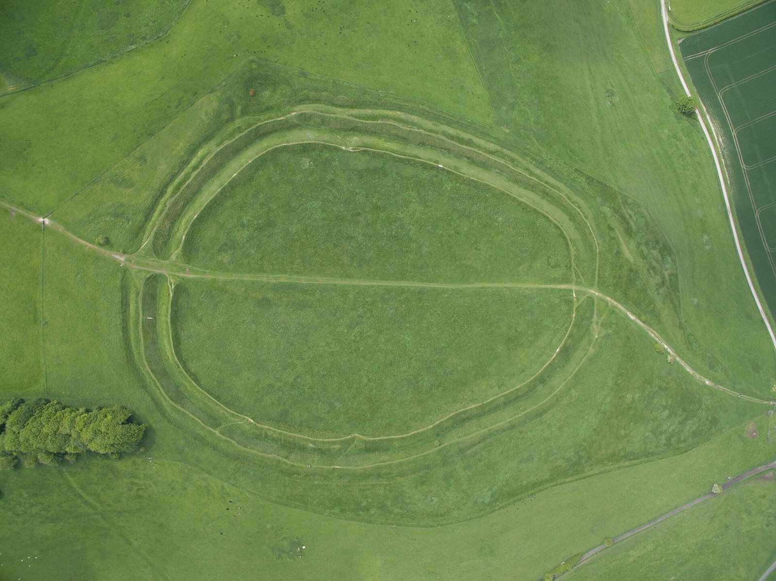
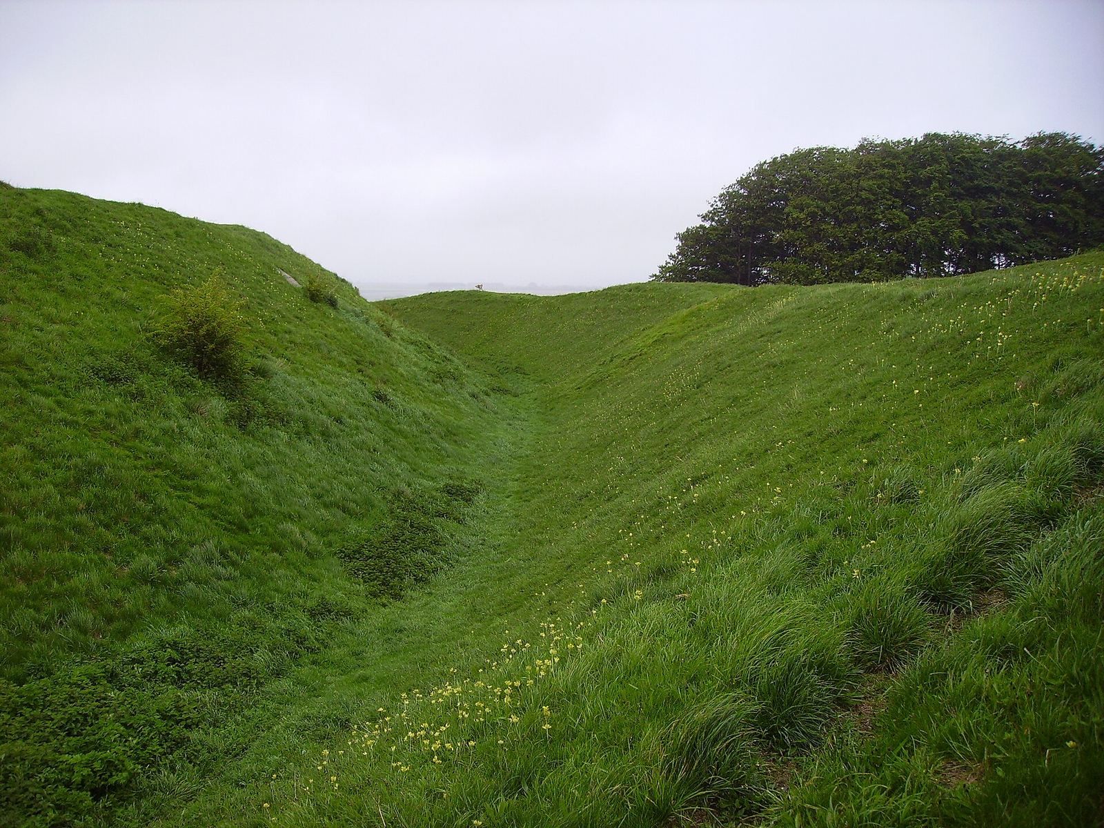
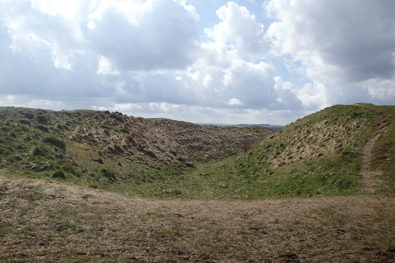
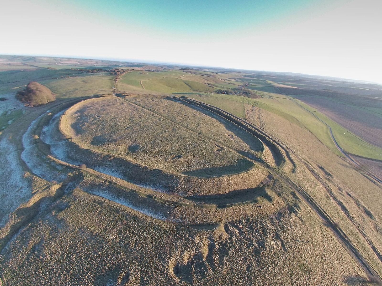
The hillfort occupies the summit of Barbury Hill in the chalk Marlborough Downs, across the civil parishes of Wroughton to the north and Ogbourne St Andrew to the south. Two concentric defensive earthworks enclose an oval area of about 4.5 hectares. Each consists of a bank and a ditch, with entrances on the eastern and western sides. The ancient Ridgeway runs nearby, east to west along the edge of the downs. From the summit, views extend across the Cotswolds to the River Severn, and the site overlooks the Thames Valley.
Interior features and finds
A geophysical survey in 1996 identified 40 hut circles inside the enclosure, the archaeological traces of circular dwellings. Finds from the site include weapons and tools, as well as traces of war chariots. Hollows around the inner edge apparently mark the bases of the Second World War anti-aircraft guns. An Iron Age roundhouse, a circular dwelling, was reconstructed within the fort in 2006 and destroyed by vandals in October 2008.
The surrounding landscape
A burial mound lies immediately north of the hill, and the wider surroundings include other burial mounds and extensive earthworks. Ancient agricultural layouts known as Celtic field systems are also present, along with flint workings dating from the eighteenth and nineteenth centuries. At Ogbourne Down and Dean Bottom, Late Bronze Age earthworks and enclosures overlie field systems.