Hodidjed: A Medieval Fortified Town in Bosnia and Herzegovina
Site at a Glance
- Popularity
- Medium
- Country
- Bosnia and Herzegovina
- Primary era
- Modern
- Eras represented
- Modern
- Civilizations
- Austria-Hungary, Habsburg
- Site type
- Military
- Remains
- Castle
On this page9 sections
History
Hodidjed was a medieval fortified town in the Bulozi area east of Sarajevo, Bosnia and Herzegovina. Generally dated to the late fourteenth or early fifteenth century, it belonged to the Pavlović noble family and guarded a passage into their lands in eastern Bosnia. Its precise location is disputed.
Origins and contested control
Hodidjed is thought to have been built before nearby Miljacki Old Town. One proposed explanation for its name links it to a djed, the senior religious leader of the Bosnian Church, a medieval Christian community with its own hierarchy in Bosnia. When the Ottomans established themselves in Vrhbosna, the district centered on the Sarajevo area, Hodidjed was its only known fortified town.
The Ottomans captured the fortress in 1428. Croatian ban Matko Talovac, a high-ranking regional governor, retook it in 1434, but Ottoman commander Barak Isaković regained control in August 1435. The following year, the Senate of the Dubrovnik Republic approved a gift of 300 perpers, a medieval Balkan currency, for Barak, who had raided Hum and withdrawn to Hodidjed. Bosnian noble Stjepan Vukčić Kosača held the fortress briefly in 1444 and again in 1448. It then remained under Ottoman rule.
Ottoman administration and Sarajevo’s growth
The Bosnian Frontier, an Ottoman frontier administrative territory, began to take shape in spring 1448 and was initially named for Hodidjed. By 1455 it extended across Vrhbosna, the Sarajevo field, and nearby mountains. It later became known as the Sarajevo Field Province, reflecting Sarajevo’s emergence as its political center. Isa-beg Isaković, an Ottoman governor and military leader, administered the territory from 1454. Some settlements came under direct Ottoman authority, while others remained with the Pavlović family in the small district of Tilava.
An Ottoman defter, or administrative register, from 1455 lists a dizdar, the fortress commander, and 23 soldiers at Hodidjed. The nearby settlement of Bulagaj was recorded as a village. It is believed to have been destroyed by a fire started by King Tomaš in 1459, after his unsuccessful effort to recover the fortress.
In 1550, the garrison numbered 50 soldiers. The commander’s timar, an assignment of revenue, was in Ljubogošći, while a soldier’s revenue assignment was in Kijevo. Hodidjed also served as a prison. A 1565 record lists 8,520 dram (26.3 kilograms) of silver from the Kreševo mines stored at the fortress, prompting the suggestion that it may also have housed a mint.
Hodidjed’s strategic position contributed to Sarajevo’s early development. After the Ottoman conquest, a modest mosque built from light materials preceded the later Careva Mosque. The settlement grew around the governor’s palace on the left bank of the Miljacka River.
Later Ottoman period
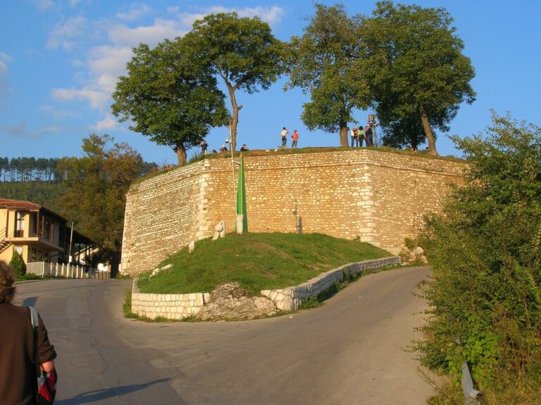
Prince Eugene of Savoy briefly captured Sarajevo in 1697, after which the Ottomans strengthened Hodidjed’s fortress. Its garrison remained there until sometime between 1811 and 1833, when it moved to Bijela Tabija above Sarajevo.
Remains
Proposed location at Gradac
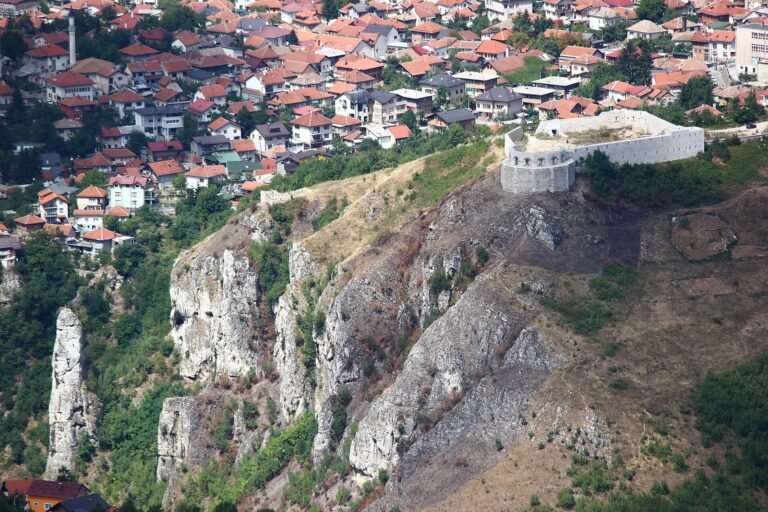
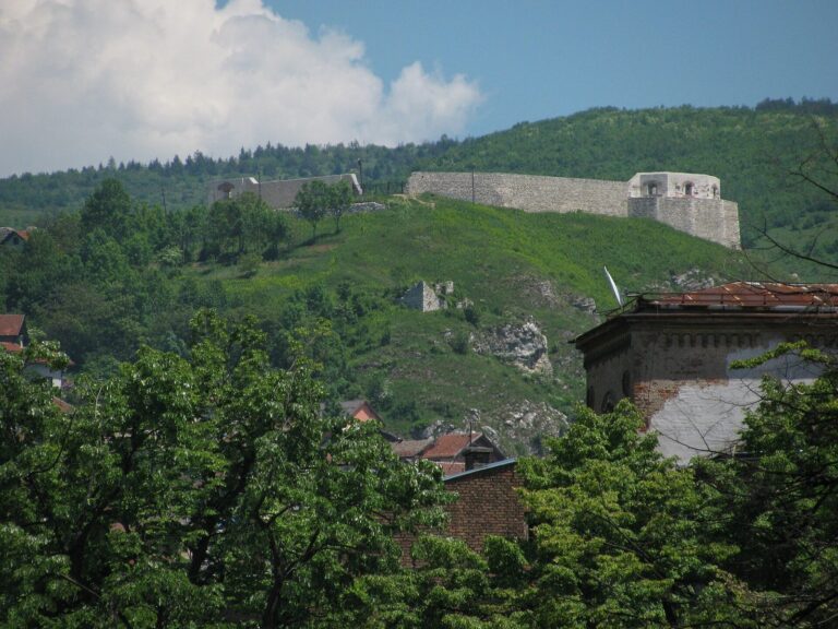
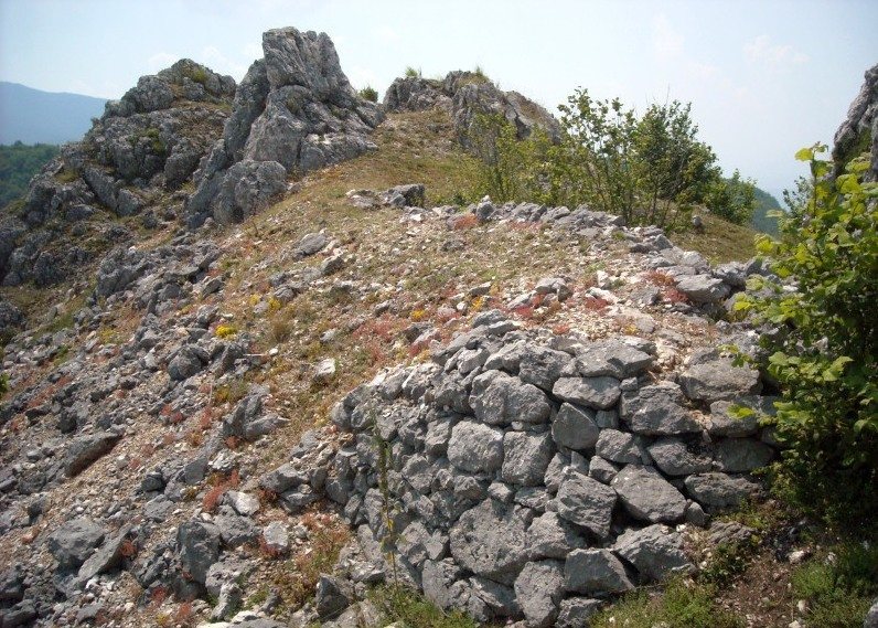
Gradac, above Bulozi, is one proposed location for Hodidjed; another possibility is Vratnik, at Sarajevo’s entrance. The medieval fortification’s described layout centers on a main tower within an enclosed area, later expanded by a bailey. Gradac stands about 100 metres above the present-day village of Hodidjed. It rises to 1,099 metres, with nearby elevations including Gradište, Mačkovac at 1,095 metres, and Siljevina at 1,169 metres to the north, where a quarry lies at the foot of the slope.
Medieval fortification
The main tower stood within a fortified area of about 5,000 square metres. A bailey, a secondary enclosed area, was added later and covered about 6,500 square metres.
1918 defensive works
Austro-Hungarian forces built a defensive line at Gradac in 1918 to prevent entry into Sarajevo and protect the empire. Its trenches and other earthworks encircle the summit and are now barely visible. Stone used to reinforce the trenches has weathered down the slope and may have been reused in village roads and property boundaries.
Features of the surrounding area
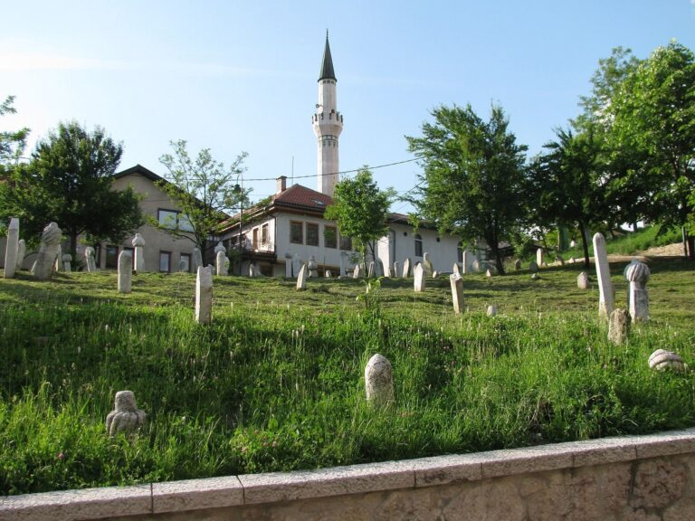
A cave lies on Gradac’s western side and may have served as a command post during the defensive works. On the summit, a concrete slab contains a metal rod that local residents believe may have held a cannon. Below Gradac, toward Donji Bulozi, is the Ottoman-period cemetery called Šehitluci, meaning “cemetery of fighters for the faith.” Iron rings on nearby rocks are linked in local tradition to boats on a vanished lake; another possibility is that they secured telephone lines along the trenches, as similar rings occur on Trebević. Excavations in the area of a possible medieval village below Gradac recovered pottery now held at the National Museum in Sarajevo. At Vratnik, Bijela Tabija may have been built on Hodidjed’s foundations, or it may correspond to historical Vrhbosna.