Breznica Castle: A Medieval Stronghold in Slovakia
Site at a Glance
- Popularity
- Low
- Country
- Slovakia
- Primary era
- Medieval
- Eras represented
- Medieval
- Civilizations
- Hungarian
- Site type
- Military
- Remains
- Castle
On this page19 sections
History
Origins and medieval ownership
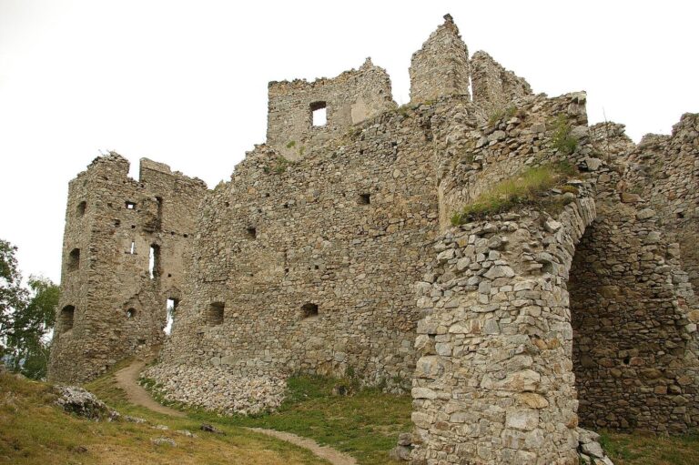
Breznica Castle is a medieval fortress on Hrádok above Tekovská Breznica, Slovakia. Its beginnings are uncertain: it may have existed before 1240, while other estimates place its construction in the second half of the thirteenth century or between 1283 and 1311. The first reliable record dates to 1311. The castle and settlement may have existed before the Mongol invasion, which disrupted Central Europe; afterward, the local population declined and the castle remained when the settlement did not. If the castle was founded in the first half of the thirteenth century, the Archbishop of Esztergom or the Benedictines of Hronský Beňadik may have initiated it. The archbishop is also often considered its founder.
Ownership of the village and castle was contested. In 1260, the Archbishop of Esztergom seized Breznica from the abbot of Hronský Beňadik monastery. A papal envoy assigned the village, identified as villa Bezente, to the monastery in 1273, while the castle stayed with the archbishop. Abbot Martin protested in 1276 that lands including Breznica had not been returned after the Mongol invasion, and the monastery renewed its claim the following year.
Conflict and repeated changes of control
In the early fourteenth century, after the Árpád dynasty that had ruled Hungary came to an end, the castle became the property of the powerful Hungarian magnate Matthew III Csák. Following his excommunication in 1311, Csák captured it while retaliating against the Archbishop of Esztergom’s lands. Contemporary annals describe his forces undermining the walls until they collapsed. The castle was soon repaired and was described by 1313 as a distinguished stronghold.
After Csák died in 1321, the castle passed to the Archbishop of Esztergom, prompting another protest from the abbot of Hronský Beňadik. In 1351, the chamber count of Nová Baňa, a royal official responsible for administering the royal chamber and its revenues, attacked the castle and village. The archbishopric and monastery continued to dispute ownership until the matter was referred to the pope and settled in the archbishop’s favour in 1375. Neglect during these disputes may account for damage to the castle by 1411.
Mercenary troops serving the military leader John Jiskra of Brandýs occupied the castle in 1441, after the death of King Albert II of Habsburg. In 1464, Breznica’s captain, Mikuláš Bodok, admitted Czech troops, then raided the surrounding area with them. After King Matthias Corvinus suppressed the Hussite Brotherhoods, armed groups associated with the Hussite movement, the castle’s commander changed. Bartoš of Hertvikovce held the office of castellan, the person who commanded or administered a castle, in 1468 and called himself commander at Breznica in 1471. Late that year, forces of the Polish king Casimir IV Jagiellon captured the castle.
Decline and later survival
The castle probably fell into disrepair in the late fifteenth or early sixteenth century. It may have been demolished by royal order after its castellans were accused of repeated robberies. By 1546 it no longer stood as a functioning stronghold. On 7 October that year, the nobleman and military leader Rafael Podmanický announced, after entering Hrušov Castle, that he planned to build a castle at Berzencze and ordered his subjects to undertake the work. The plan apparently went no further. In 1563, a military council ordered guards to be stationed at the old castle site to watch for Turkish incursions; the ruins may have offered them partial shelter.
Breznica was named again in a dispute in 1577, when the castle belonged to the Archbishop of Esztergom. Damaged portions may still have been habitable in 1660. The ruin probably remained into the early eighteenth century and was not demolished after 1711. Later, villagers took stone from the castle for houses, hastening its decay. Field surveys in 1998 and 1999 recorded the surviving terrain features.
Remains
Setting and overall plan
Hilltop and layout
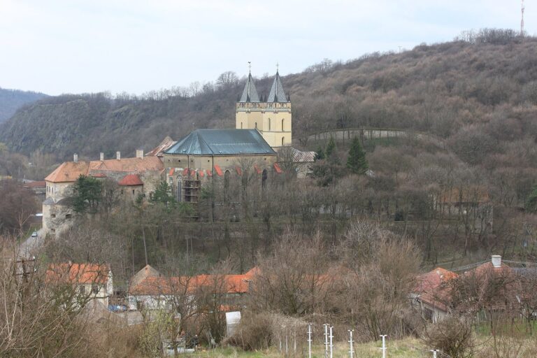
The ruins occupy Hrádok, about 440 metres above sea level, southeast above Tekovská Breznica. Chválenská Valley bounds the hill to the north and Priesil Valley to the south. The castle followed a rock spur running northwest–southeast, with the upper castle on its highest, southeastern part. That upper area measured about 50 by 30 metres; a forecourt extended along the rest of the spur for 130 metres. The position afforded views of the historic Slovak Gate, a narrow passage through the Hron Valley on the route into central Slovakia, as well as Hronský Beňadik monastery and Nová Baňa, about seven kilometres away.
Approach
The approach climbed the southern slope, crossed a steep incline and a level space at the neck ditch, a defensive ditch cut across the narrow route to a rock spur, then continued through the forecourt to the upper castle. A section of the route survives as a bend below the northwest forecourt.
Upper castle
Possible tower
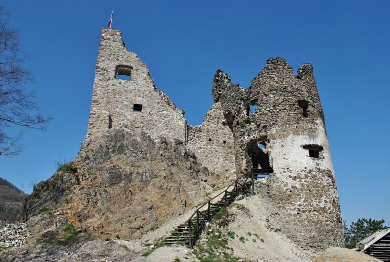
Damaged masonry near the castle’s front may belong to a four-sided tower used for both defense and residence. The remains identified with it include part of a northeast wall, its adjoining northern corner and ruined masonry to the southeast.
Palace and inner defenses
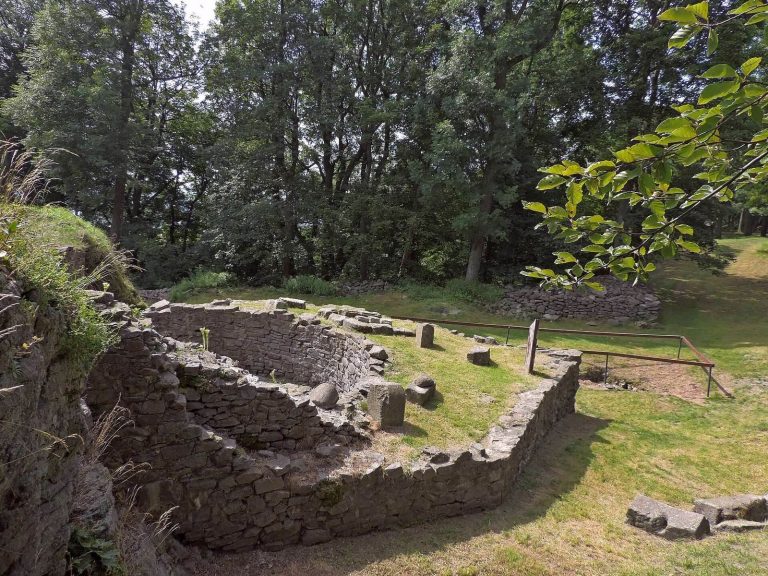
An irregularly planned residential palace probably stood about 20 metres from the tower. At ground level, its southeast wall used the natural rock; a passage through the rock led to a small courtyard behind the building. Two rampart lines and a ditch cut into the rock strengthened this part of the castle.
Southwest fortification
A 7.2-metre fragment of ground-level masonry survives southwest of the courtyard. It probably formed part of a four-sided bastion, a projecting fortification that defended adjoining walls, on the upper castle’s southwest side.
Outer defenses
Northwest spur
A tongue-shaped spur of rock extends northwest from the upper castle and shows signs of artificial alteration. At its northwest end, a ditch runs perpendicular to the forecourt.
Southwest entrance defenses
A separate spur extends southwest. A wall across it ended in a defensive structure that controlled the castle entrance. The stepped terrain below may have served as an advanced defensive position, with views over the Hron Valley, including Hronský Beňadik. A ditch formed by an outer rampart remains visible on the western side.
Lower earthworks
Farther down and southwest of the defensive structure, another tongue-shaped spur has long parallel earthworks crossed by three transverse sections. Together they enclose a narrow space that continues to a small platform at its end. A rampart that strengthened the western side is now indistinct, while rampart lines remain visible in the terrain.
Nearby defensive sites
Sokolia skala
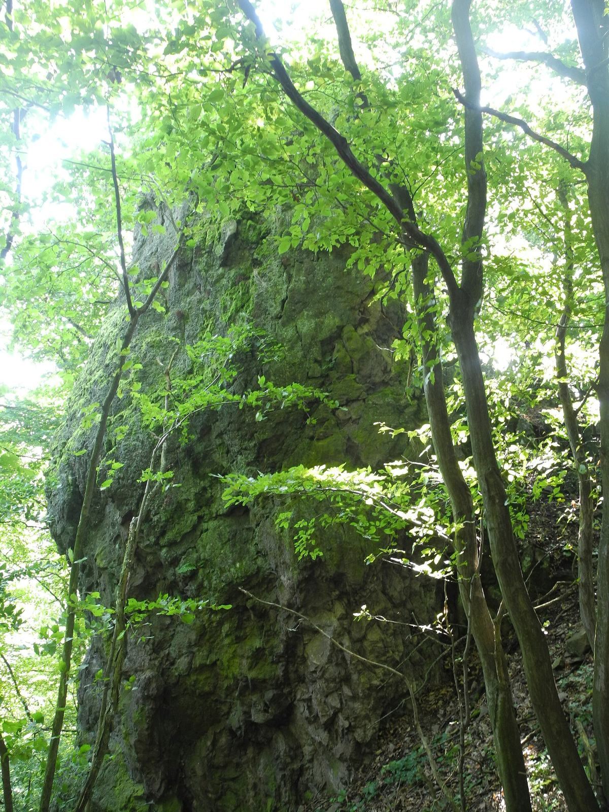
A small fortified site lies on Sokolia skala about 200 metres southeast of the castle. A tower is thought to have stood on the rock, where a ditch remains visible. The position overlooks Chválenská Valley.
Pustý hrad
A separate watchtower is identified at Pustý hrad.