Dun an Sticir: An Iron Age Broch on North Uist
Site at a Glance
- Popularity
- Low
- Country
- United Kingdom
- Primary era
- Iron Age
- Eras represented
- Iron Age, Medieval, Early Modern
- Civilizations
- Kingdom of Scotland
- Site type
- Military
- Remains
- Tower
On this page9 sections
History
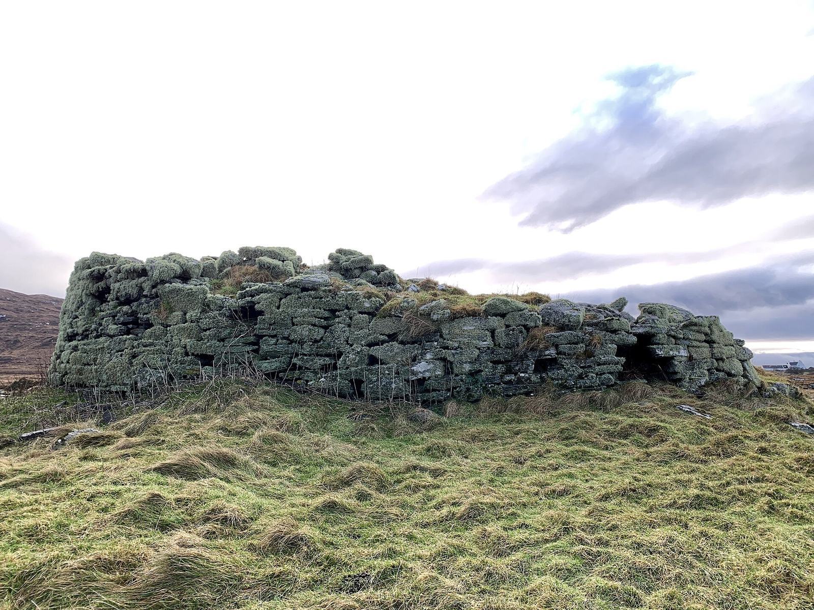
Dun an Sticir is a broch on a small island in Loch an Sticir on North Uist in the Outer Hebrides of Scotland, United Kingdom. It was probably built between 100 BC and AD 100 as a broch, a Scottish Iron Age tower with thick stone walls and internal spaces. The Iron Age was a period when iron tools and weapons came into widespread use.
Iron Age and medieval phases
Use of the site during the Viking Age, a period of Norse expansion and settlement beginning in the late eighth century, is uncertain. It may have seen little use between the ninth and thirteenth centuries. In the medieval period, the broch was adapted into a rectangular hall or small tower. The entrance was enlarged, and a window was added.
Sixteenth-century occupation
The broch was repaired and new buildings were erected in and around it during the sixteenth century. Hugh MacDonald of Sleat lived at Dun an Sticir until 1602 and served as factor of North Uist in the 1580s. A factor was an agent who managed an estate or district. In 1586, Hugh plotted to kill his cousin Donald Gorm, the eighth chief of the MacDonalds of Sleat. When the plot was uncovered, Hugh fled to the broch. He was later captured while trying to escape the siege of Castle Uisdean on Skye, then starved to death in the dungeon of Duntulm Castle.
The name Dun an Sticir means “Fort of the Skulker.” The structure was identified as a broch only in the second half of the twentieth century. It is protected as a Scheduled Monument, a site given statutory protection in the United Kingdom for its archaeological or historical importance.
Remains
Island layout and causeways
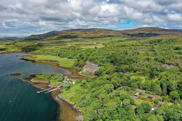
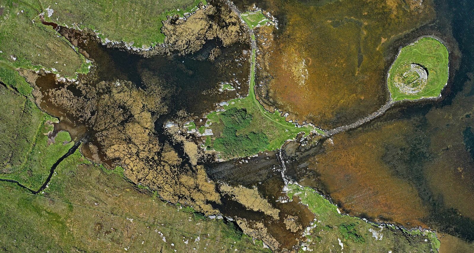
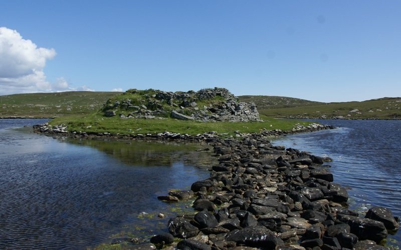
The remains occupy two islands in Loch an Sticir. The broch stands on the smaller island, which is linked to Eilean na Mi-Chomhairle; that larger island connects to North Uist by two causeways. The site lies east of the B893 and south of Newtonferry. A broad stone causeway approaches the larger island from the north. Widened to three metres to carry carts, it is later than the narrower causeway from the south. A third causeway curves east from the larger island to the broch island. The causeways can be partly submerged at high tide.
Broch structure
Walls and internal features
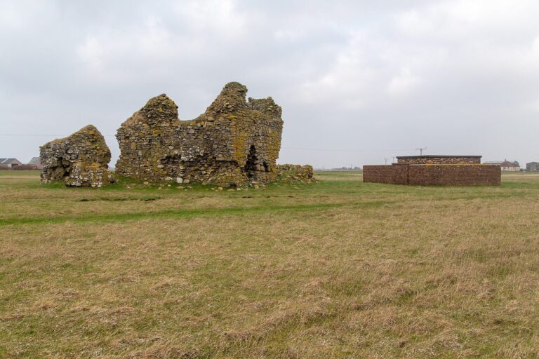
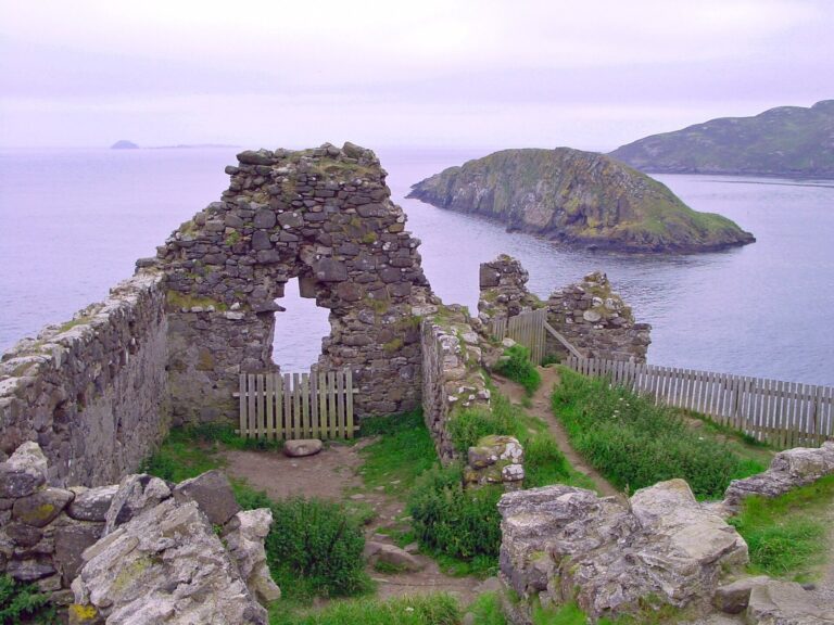
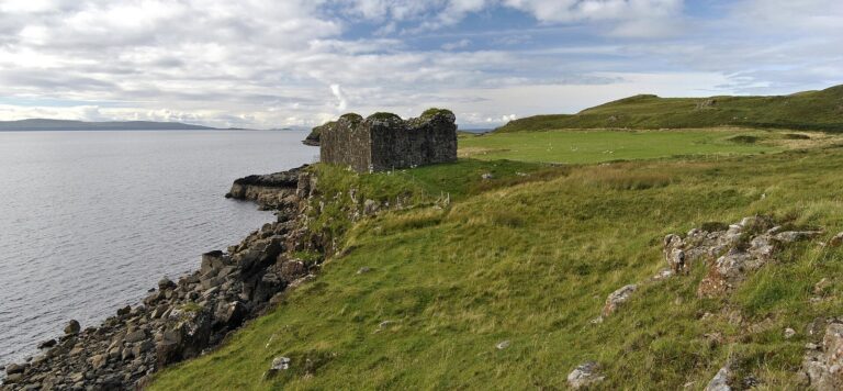
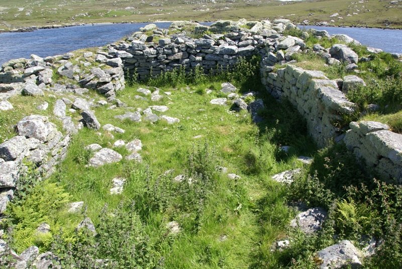
The dry-stone broch is 18 metres across, with walls 3.5 metres thick. In places they remain just over three metres high; a measurement in 1965 recorded a maximum height of 3.6 metres. It is considered one of Scotland’s better-preserved brochs. A chamber survives in the southwest, along with an internal passage about one metre wide. A small guard chamber remains by the entrance, and a niche is preserved within the wall.
Rectangular interior
The circular interior was reshaped into a rectangle measuring 10 by 4.6 metres, with its long axis running northeast to southwest. Its two entrances, each 1.1 metres wide, are on the northwest and southwest sides; the wall at the southwestern entrance is 2.5 metres thick. The broch was partly dismantled from above, and its stones were reused to build the rectangular space.
Associated buildings and finds
Outbuildings were added around the broch, and a larger building stood on Eilean na Mi-Chomhairle. A limited excavation yielded pottery of uncertain date.