Bridge near Kemer: A Roman Crossing of the Xanthos River
Site at a Glance
- Popularity
- Low
- Country
- Turkey
- Primary era
- Classical
- Eras represented
- Classical
- Civilizations
- Roman
- Site type
- Infrastructure
- Remains
- Bridge
On this page5 sections
History
The Bridge near Kemer is a Roman bridge across the Xanthos River near the ancient city of Xanthos in Lycia, an ancient region of southwestern Anatolia in modern Turkey. Its construction is presumed to date to the third century AD. A Roman road in the area existed by the early third century and may help explain the bridge’s date. The bridge may have carried a route westward from Kadyanda down into the Xanthos Valley, and may also have connected with a pass trail to Oinoanda.
Remains
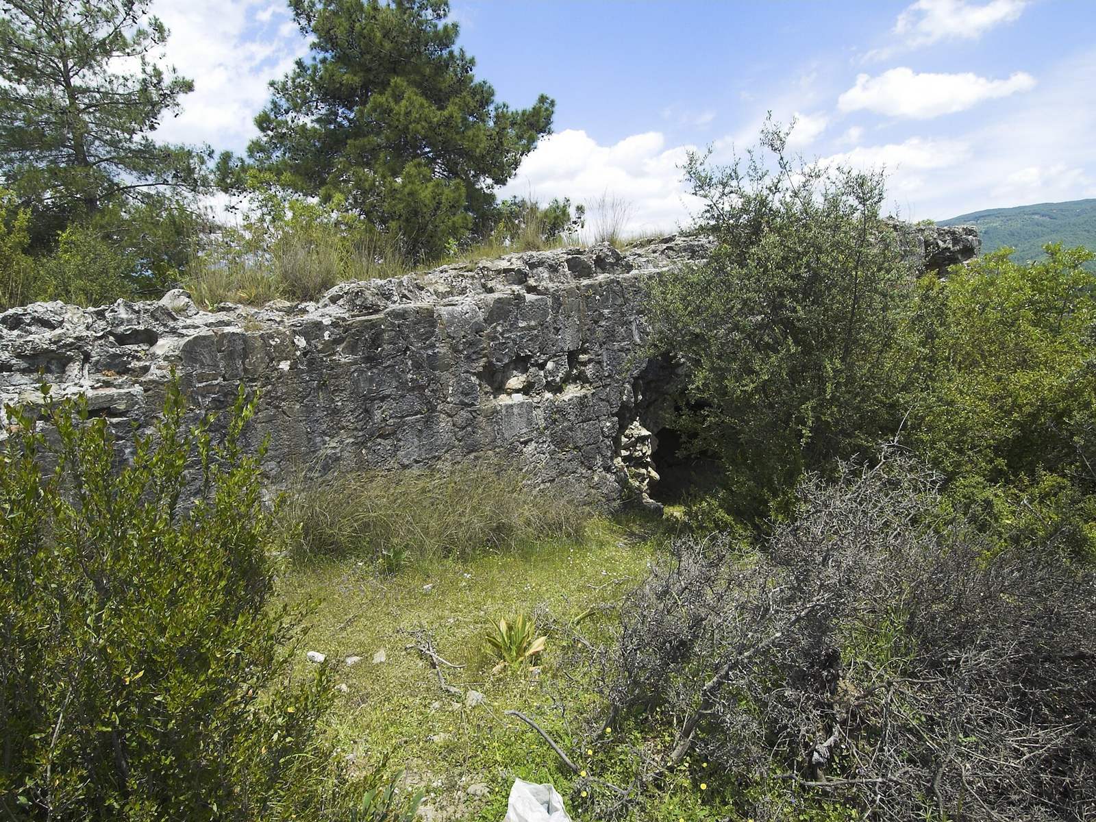
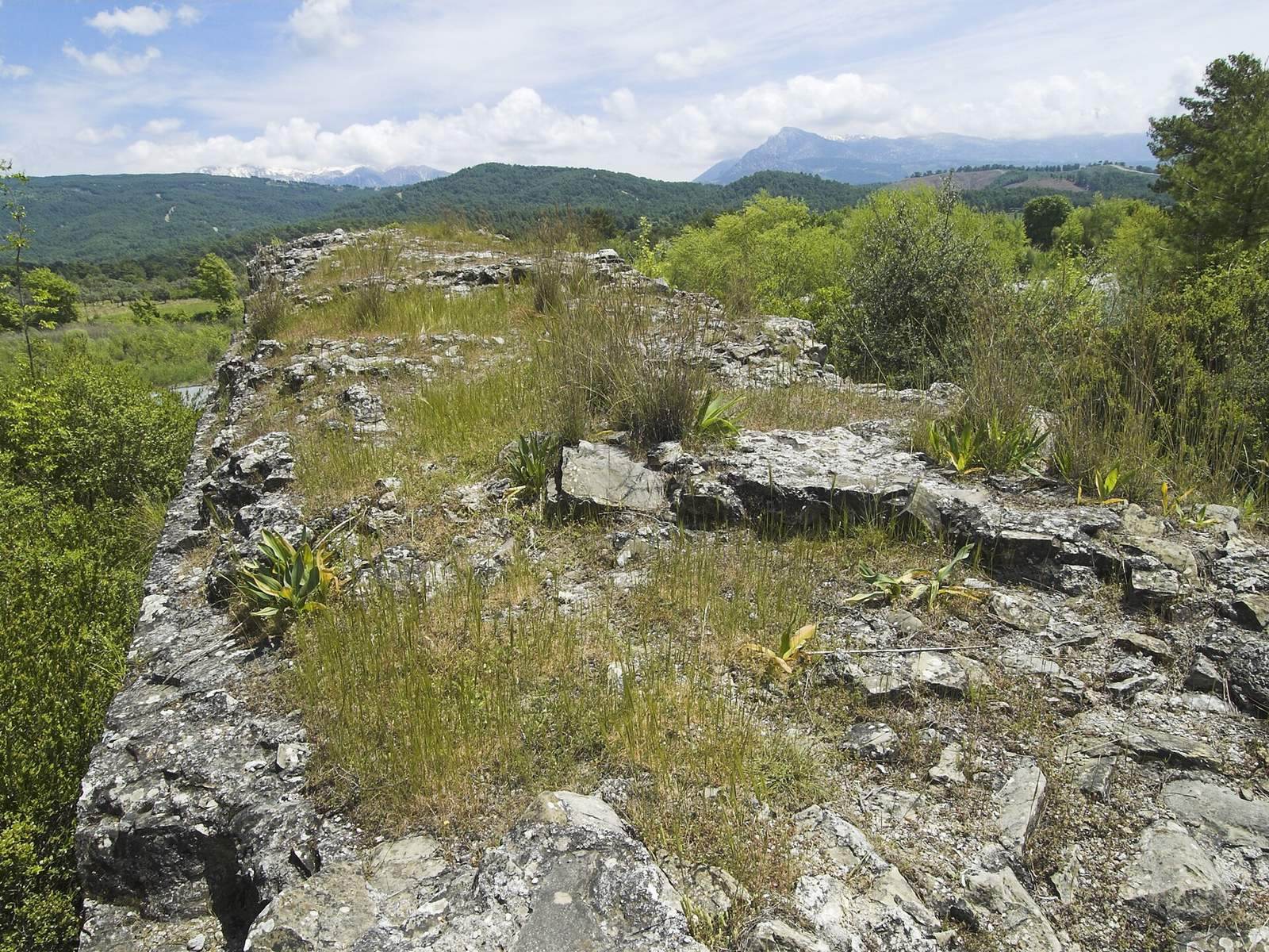
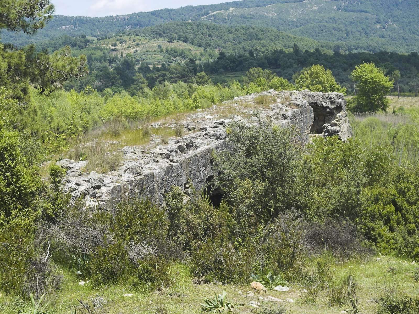
The bridge extended for at least 500 m across a gravel riverbed about 500 m wide, and measured 4.5 m across. Its surviving remains are a 29 m-long approach on the right bank, outside the flood zone, which once led to the main crossing. The remains rise about 8 m above accumulated river sediments.
Approach and arches
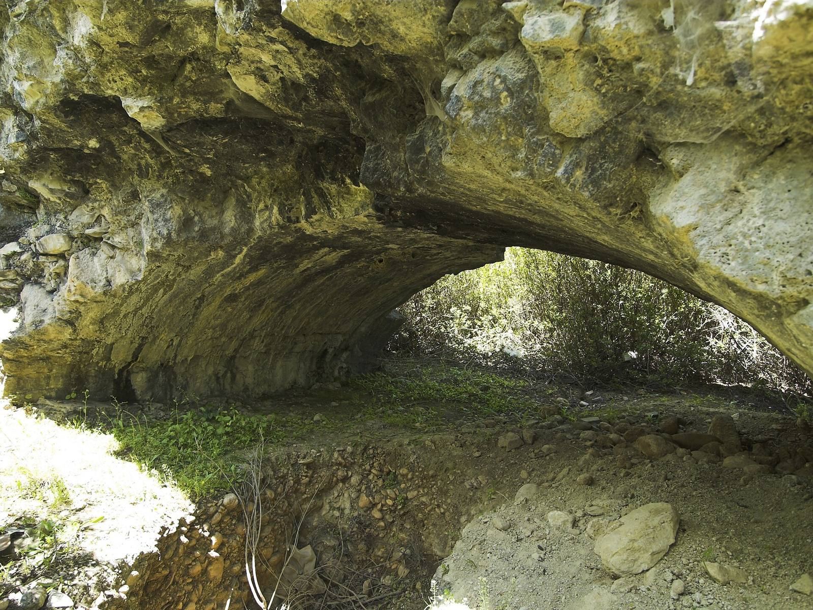
The surviving approach is 4.5 m wide and has three arches, each with an opening between 4 and 4.45 m across. Two are shallow segmental arches, formed from part of a circle, with a rise of only 1 m. The third is semicircular, with a span twice its rise. Such shallow arches were uncommon in Roman bridges and became widespread in bridge building only in the late medieval period. The 28-arch Limyra Bridge in Lycia is another well-preserved ancient example.
Masonry and roadway
The arch ceilings are built from locally quarried limestone blocks set in mortar. The bridge’s interior consists of rubble bound with fluid mortar, exposed in places where the outer stone facing has crumbled. The mortar combines hard building lime with fine gravel. The approach’s even slope indicates that paving stones lay directly on the surface now exposed.
Chambers, timber channels, and flood opening
Above the third arch, a 2 m-high space between the arch and roadway contains a hollow chamber measuring 3.5 m long, 3.2 m wide, and 1.5 m high. This void reduced the weight on the arches and conserved building material. A smaller chamber lies in the upper part of one pier. Circular channels about 26 cm across run both lengthwise and crosswise through the bridge. They are interpreted as impressions left by round timbers used for scaffolding and centering, temporary support that holds an arch during construction. The pier nearest the riverbed also contains a small arched opening for floodwater.