Guttenberg Castle Ruin: A Hill Castle in Bavaria
Site at a Glance
- Popularity
- Low
- Country
- Germany
- Primary era
- Medieval
- Eras represented
- Medieval
- Civilizations
- Holy Roman Empire
- Site type
- Military
- Remains
- Castle
On this page8 sections
History
Guttenberg Castle Ruin is a former hill castle in Guttenberger Forest, Bavaria, Germany. The Prince-Bishopric of Würzburg, a territory governed by a bishop exercising both religious and secular authority, built it to defend against the neighboring Archbishopric of Mainz, a church territory ruled by an archbishop whose lands extended to Kist. The castle first appears in the record in 1231, when the knight Heinrich von Zobel was named. He later used the name Heinrich von Guttenberg. This reference establishes that the castle existed by then, not when it was built.
First references and shared ownership
In 1303, the castle was divided into several fiefs, or holdings granted under a feudal relationship. Götz von Rettersbach, a Vogt (a delegated official with administrative or judicial duties) related to the Zobels by marriage, received a half-share in 1306 or 1307. In 1319, the knights Conrad and Heinrich Zobel jointly held a share. Dietrich Zobel von Guttenberg, also called Zobel von Gudenberg, and Berthold Zobel von Heidingsfeld became fief holders in 1327.
Andreas Zobel junior von Heidingsfeld held part ownership from 1336 to 1347. In 1345, Johann Zobel von Giebelstadt and Heinrich Zobel were also co-owners. From 1347, Konrad Zobel and his brothers Andreas junior and Friedrich held the castle. In 1349, the knight Dietrich Zobel von Guttenberg took over Friedrich’s share as well as his own. The records continue to show changing shares: in 1366, the squire Johannes Zobel received the share held by his late father, also named Johannes, and in 1384 Erbolt Zobel von Giebelstadt held a share.
Sales and destruction
During the fifteenth century, members of the Guttenberg line held shares, usually a quarter or an eighth of the castle. In 1502, Stephan Zobel zu Giebelstadt sold his half, together with 1,500 Morgen of woodland. A Morgen was a land measure whose size varied by region. The price was 3,000 gulden, a currency used in central Europe. In 1515, the sons of the late Georg Zobel sold the other half, after which the castle passed into Würzburg’s possession.
The castle was destroyed during the Peasants’ War of 1524–25, a series of uprisings in German-speaking lands.
Remains
The remains occupy a compact hilltop site arranged around a raised central area, with ditches and ramparts forming additional defenses toward the west and southwest. The hilltop setting and the surviving earthworks define the layout, while masonry traces mark structures within the castle.
Hilltop and central enclosure
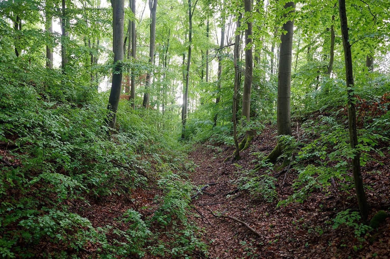
The site lies on Old Castle Hill, an east-northeast-facing spur in Guttenberger Forest, above the road between Kist and Reichenberg. Its core stands at about 340 m above sea level, roughly 50 m above the valley floor and a stream that flows intermittently. The spur rises gently toward a summit at 370 m on its west-southwestern side; its other slopes descend, in places steeply. The core occupies a kidney-shaped area about 30 m from north to south and 20 m from east to west, set on a steep-sided mound. A ring ditch about 10 m wide curves from the northern slope edge around the mound’s west and south sides and partway along its east side, then continues several metres downslope. The ditch bottom is about 5 m below the plateau.
Northeastern slope edges
A slope edge lies a few metres from the northern part of the mound’s eastern side. Lower on the northeastern slope, at about 330 m elevation, another artificial edge follows the hillside contour southward to meet an extension of the ditch. Just before the junction, it bulges eastward.
Western and southern earthworks
Outside the ring ditch on the west and southwest, a slightly outward-curving rampart extends for about 75 m. It is roughly 5 m wide, and its crest rises about 5 m above the ditch bottom. Beyond it, a gently convex outer ditch is about 25 m wide. Its northern end joins the inner ditch, while its southern end stops at the slope edge. A further rampart fronts the southern half of this outer ditch; a low trace about 4 m wide survives. On the southern hillside, just below the inner rampart, an oval depression has an uncertain purpose.
Masonry remains
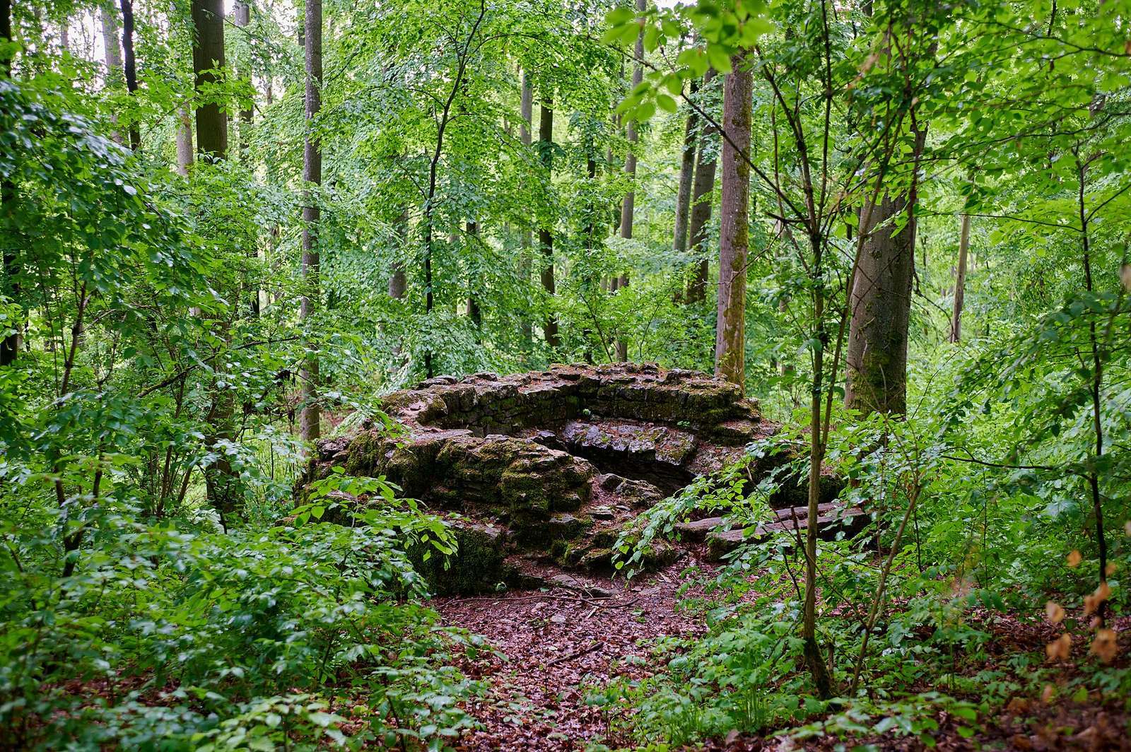
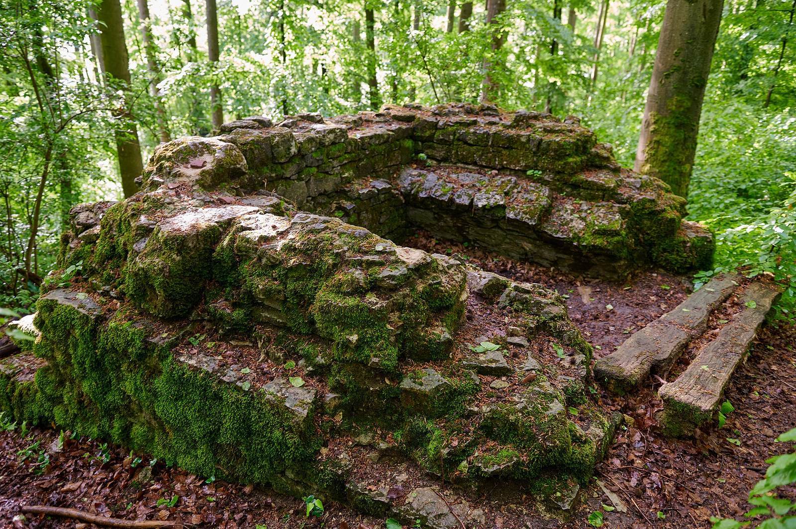
Masonry traces of a gate lie below the plateau’s northeastern corner. On the plateau are remnants of a square rubble-stone building with a tower-like form, including a surviving point where a vaulted ceiling began to rise. The course of the enclosing wall can also be traced.