Aztalan State Park: Preserving a Middle Mississippian Settlement
Site at a Glance
- Popularity
- High
- Country
- United States
- Primary era
- Medieval
- Eras represented
- Medieval
- Civilizations
- Mississippian
- Site type
- City
On this page17 sections
History
Settlement and regional connections
Aztalan State Park in Wisconsin, United States, preserves a settlement established around AD 900 by people associated with the Middle Mississippian tradition, part of a wider North American archaeological culture known for platform mounds and regional connections. The community also included elements of Woodland culture, a distinct archaeological tradition. Aztalan flourished from the tenth through the thirteenth centuries. Its earthen mounds served religious and political purposes, while homes and timber enclosures formed part of the settlement.
Aztalan belonged to a network of communities along the Mississippi River and its tributaries. Rivers connected settlements through trade, and exchange extended from the Great Lakes to the Gulf Coast and southeastern United States. Goods from distant places reached Aztalan, linking the community to a broad region.
Residents farmed corn and gathered acorns, hickory nuts, and berries. They grew tobacco for sacred ceremonies. Deer, especially in winter, supplied their principal meat; other foods included beaver, elk, fox, muskrat, raccoon, birds, turtles, mussels, and fish from the Crawfish River. People used nearby trees and plants for construction, fuel, bows and arrow shafts, bedding, and roofing. River clay provided material for pottery, while shells were fashioned into jewelry, beads, spoons, and digging tools. Scarce goods obtained through exchange could be used in ceremonies or as ornaments indicating status.
Abandonment
The settlement was abandoned sometime between AD 1200 and 1300. The reason is uncertain. Strain on local resources or increased conflict with other communities may have contributed. The Little Ice Age, a cooler climatic period that began after AD 1300, may also have made farming more difficult and added pressure to local chiefdoms, political societies led by chiefs.
Rediscovery and preservation
Timothy Johnson came upon the ruins in December 1835. The following January, N. F. Hyer made an initial survey and published the discovery in 1837. He named the place Aztalan after a tradition discussed by Prussian naturalist Alexander von Humboldt, concerning an ancestral northern homeland of that name. The proposed connection between the tradition and the Great Lakes was speculative. The name was also interpreted as combining the Mexican words atl, meaning water, and an, meaning near.
In 1838, President Martin Van Buren rejected Edward Everett’s request to remove the site from public sale, and the land was sold for $22. Farming later damaged the earthworks: plowing leveled mounds, and pottery fragments and material called Aztalan brick were taken away for road repairs. Souvenir hunters also removed artifacts. When Wisconsin naturalist and antiquarian Increase A. Lapham surveyed the site for the Smithsonian Institution in 1850, the enclosure still stood, although it had deteriorated. He urged its preservation.
Archaeological excavations began in 1919 under S. A. Barrett. A preservation campaign followed in 1920, bringing together the State Historical Society of Wisconsin’s Landmarks Committee, the Friends of Our Native Landscape, and the Wisconsin Archeological Society. In 1921, the campaign secured three acres west of the enclosure, including eight conical mounds, and transferred the land to the Wisconsin Archeological Society. A 1936 effort to obtain federal funds to reconstruct the enclosure failed. The Lake Mills-Aztalan Historical Society, founded in 1941, continued to campaign for preservation.
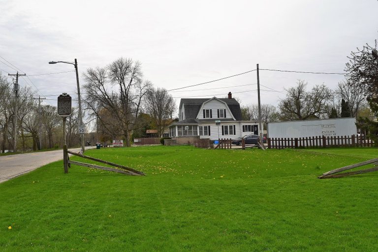
After the state legislature called for acquisition of Aztalan, Wisconsin bought 120 acres in 1948; the two historical and archaeological societies donated their holdings. Aztalan State Park opened in 1952 and covers 172 acres along the Crawfish River. The site became a National Historic Landmark, a designation for places of exceptional importance in United States history, in 1964 and was added to the National Register of Historic Places in 1966.
Remains
The settlement’s remains include three flat-topped earthen platform mounds, timber enclosures, houses, and other archaeological features beside the Crawfish River. A platform mound is a flat-topped rise that can support buildings or ceremonies. The residential area lay between the river and an eastern inner enclosure, with the arrangement of houses suggesting a planned community around a central ceremonial plaza.
Houses and residential area
Residents lived mainly in circular or rectangular houses. Builders set the frame posts into individual holes or narrow trenches, wove branches for the walls, and coated them with clay and grass. Roofs were covered with bark or thatch, and doorways usually faced south. Inside, raised beds made from poles held tamarack boughs, deer skins, and furs. Some homes had a central fire and a roof opening for smoke. Pits in the earthen floors stored corn, nuts, and seeds in woven bags. People kept refuse pits and shared storage pits outdoors, and probably left perishable foods outside until they were ready to cook them.
Platform mounds
Southwestern mound
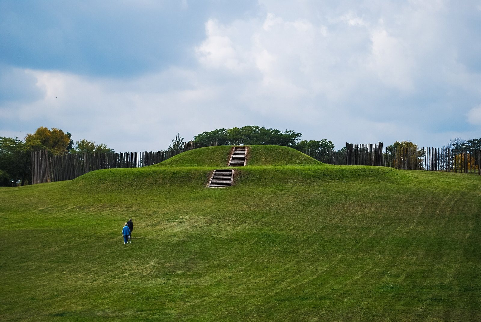
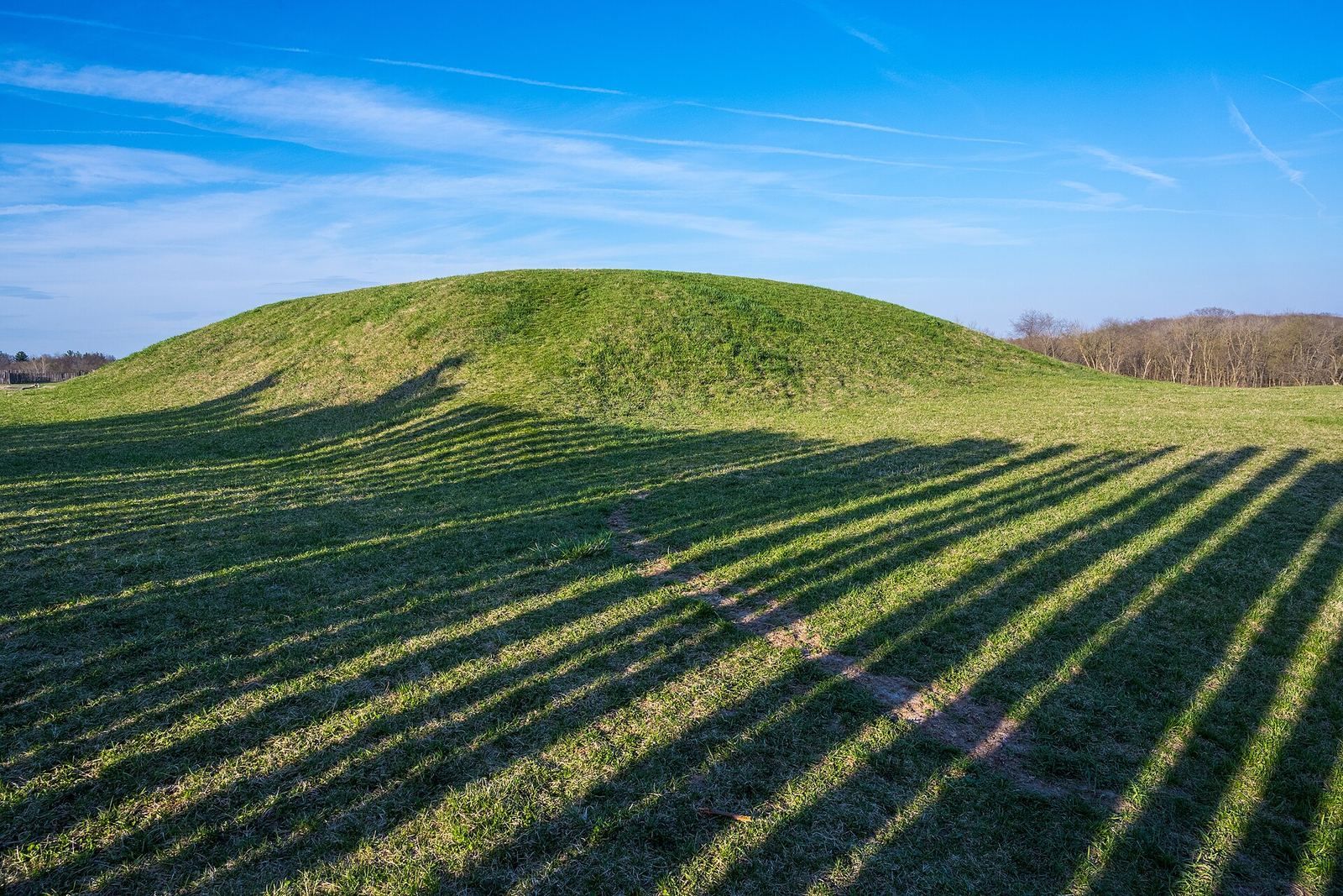
The largest platform mound stands in the southwest corner of the enclosed area. Built in three stages, it had steps on its eastern face and a structure on top. A clay layer covered the mound, possibly to improve its appearance. Pits inside the structure held corn. Its purpose remains uncertain: it may have stored food for the community or its officials, served ceremonies, or housed leaders. As each larger stage was added, the structure was rebuilt above the earlier mound.
Northwestern burial mound
A nearly equally large mound occupies the northwest corner and was used for formal burials. It too was built in three stages. On its western side stood a structure about four by two metres, aligned northeast to southwest, with its doorway at the southwest corner. Clay, willow branches, and grass covered it, and a mat, possibly woven from cattails, covered the floor. Ten bodies lay side by side on the mat, with their heads toward the doorway; the bones of an eleventh person, bundled with cord, were placed nearby. The structure was burned after the bodies were placed inside.
Eastern mound
The smallest platform mound lies on the settlement’s eastern side, near the Crawfish River. An open-walled structure about 12 by 27 metres stood there, with fire pits lined in white sand. The purpose of both the mound and the structure is uncertain.
Round mounds and post settings
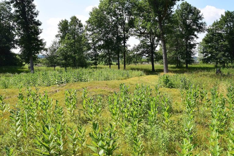
Northwest of the enclosed settlement, a row of round mounds extended northward. Excavations in the 1920s found central pits for large posts, surrounded by gravel and soil and capped with clay and gravel. These settings were not burials. The posts may have marked the settlement for travellers, supported announcements or relayed messages, or served for astronomical calculations; their purpose remains uncertain.
Timber enclosures
Outer enclosure
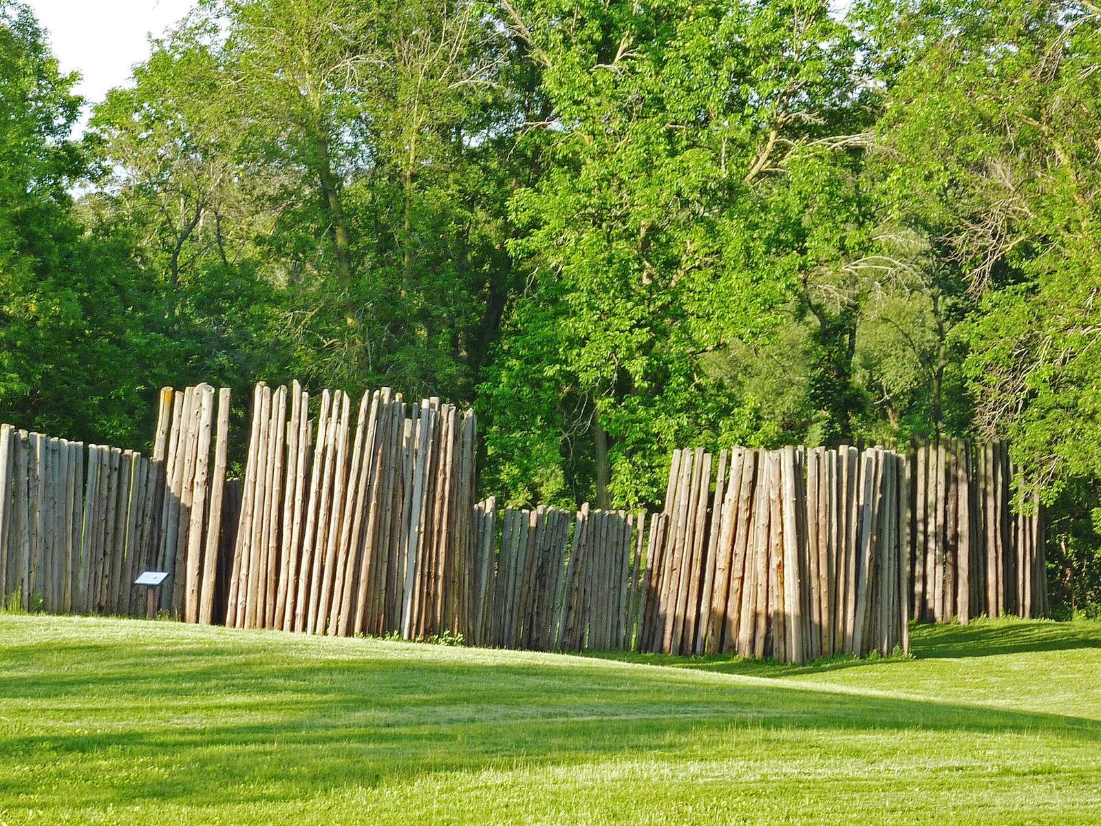
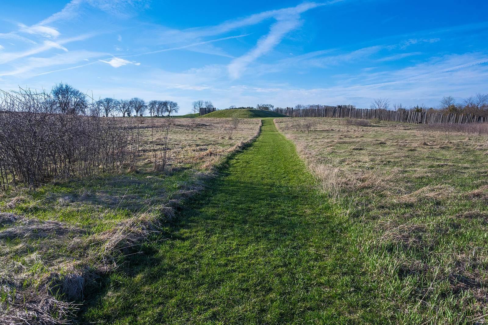
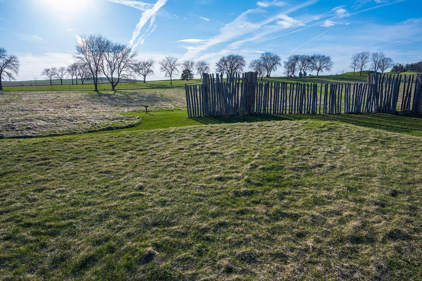
A log enclosure bounded the settlement on its north, west, and south sides. Its upright posts stood in narrow holes and were joined by woven willow branches, with clay and grass filling the gaps. Two outer enclosures were built in succession during the settlement’s occupation. The posts of the earlier one eventually rotted; the later enclosure burned. The walls may have had defensive and ceremonial functions. Their square bastions, projecting sections of a fortification, stood at regular intervals and were positioned so archers could shoot across the enclosed area. The entrance was concealed from direct view and blended into the wall.
In 1850, Lapham measured the north, west, and south sides at 631, 1,149, and 700 feet, respectively, and estimated the total wall length at 2,750 feet. He described the earthwork ridge as about 22 feet wide and between one and five feet high. His survey counted at least 33 square bastions, with more along the inner walls. In 1968, the state rebuilt sections of the enclosure, setting new posts into original postholes. One section also received a wattle-and-daub coating, a covering of woven branches plastered with clay and grass.
Inner enclosure
A smaller timber enclosure marked the residential area inside the outer boundary. It is uncertain whether the two enclosures stood at the same time or one followed the other.
River features and archaeological material
Fish weirs and shell deposits
Rock barriers, or fish weirs, were placed at key points in the Crawfish River to help catch fish. One becomes visible when the river is low. Discarded mussel shells accumulated at the settlement in middens, deposits of refuse that reached several feet in thickness.
Trade goods, pottery, and plant remains
Material associated with the settlement includes copper from Michigan’s Upper Peninsula, Gulf Coast seashells, Mill Creek chert, a hard stone used to make tools, decorated pottery, and tobacco seeds. Potters shaped clay dug from the river and fired it. Shells were also made into everyday and ornamental objects, including beads, spoons, and digging tools.