Dolmen de Cantegrel: A Neolithic Burial Monument in France
Site at a Glance
- Popularity
- Very Low
- Country
- France
- Primary era
- Stone Age
- Eras represented
- Stone Age
- Civilizations
- Unclassified
- Site type
- Burial
- Remains
- Tomb
On this page8 sections
History
The Dolmen de Cantegrel is a Neolithic megalithic burial structure in woodland south of Saint-Chamassy, France. The Neolithic, the later part of the Stone Age associated with farming and polished stone tools, is the period to which the monument belongs.
Nineteenth-century investigations
Dr. Testut studied the dolmen in 1881 and assigned his pupil Louis Gouzot to excavate it. Letters Gouzot wrote in 1883 describe several successive excavations. Anatole de Romejoux mentioned the monument in 1885. In 1898, Émile Rivière undertook a limited excavation and published its first description, calling it the Dolmen des Clotes.
Later study and protection
In 1913, Peyrony and Belvès described the monument as the Dolmen de Cantagrel. Secondat and Marchadier published a more extensive study in 1935. France listed the dolmen as a historic monument in 2008, a formal heritage-protection status.
Remains
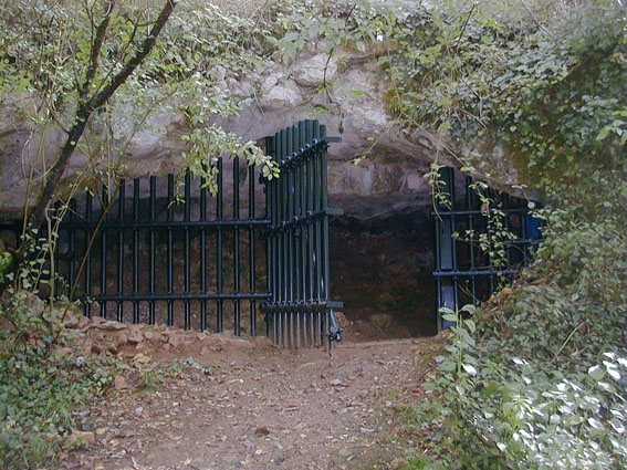
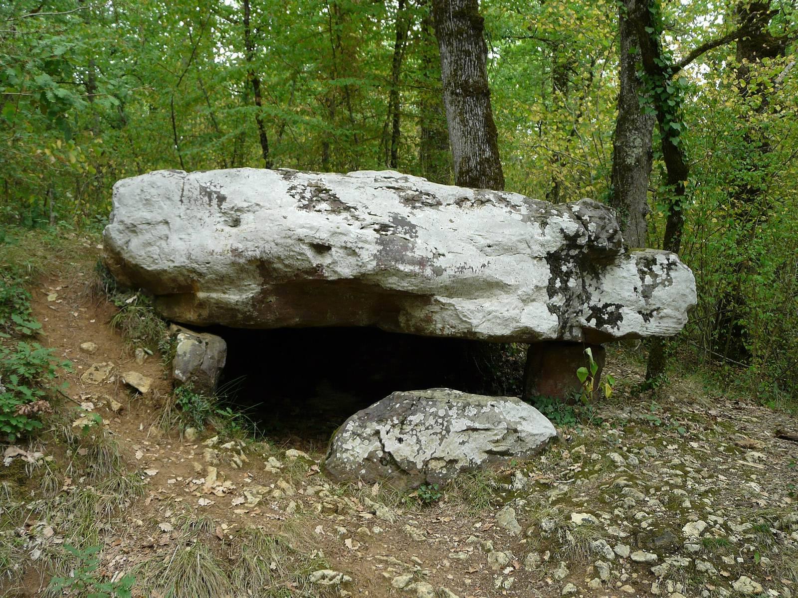
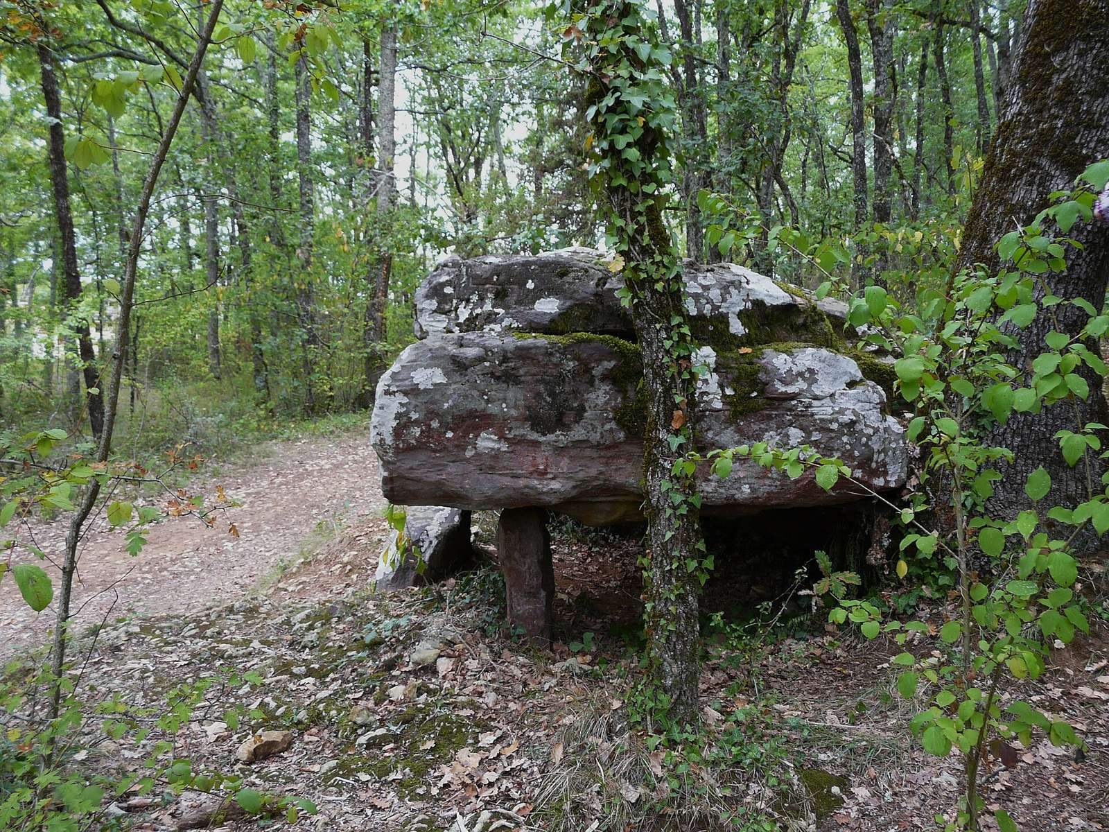
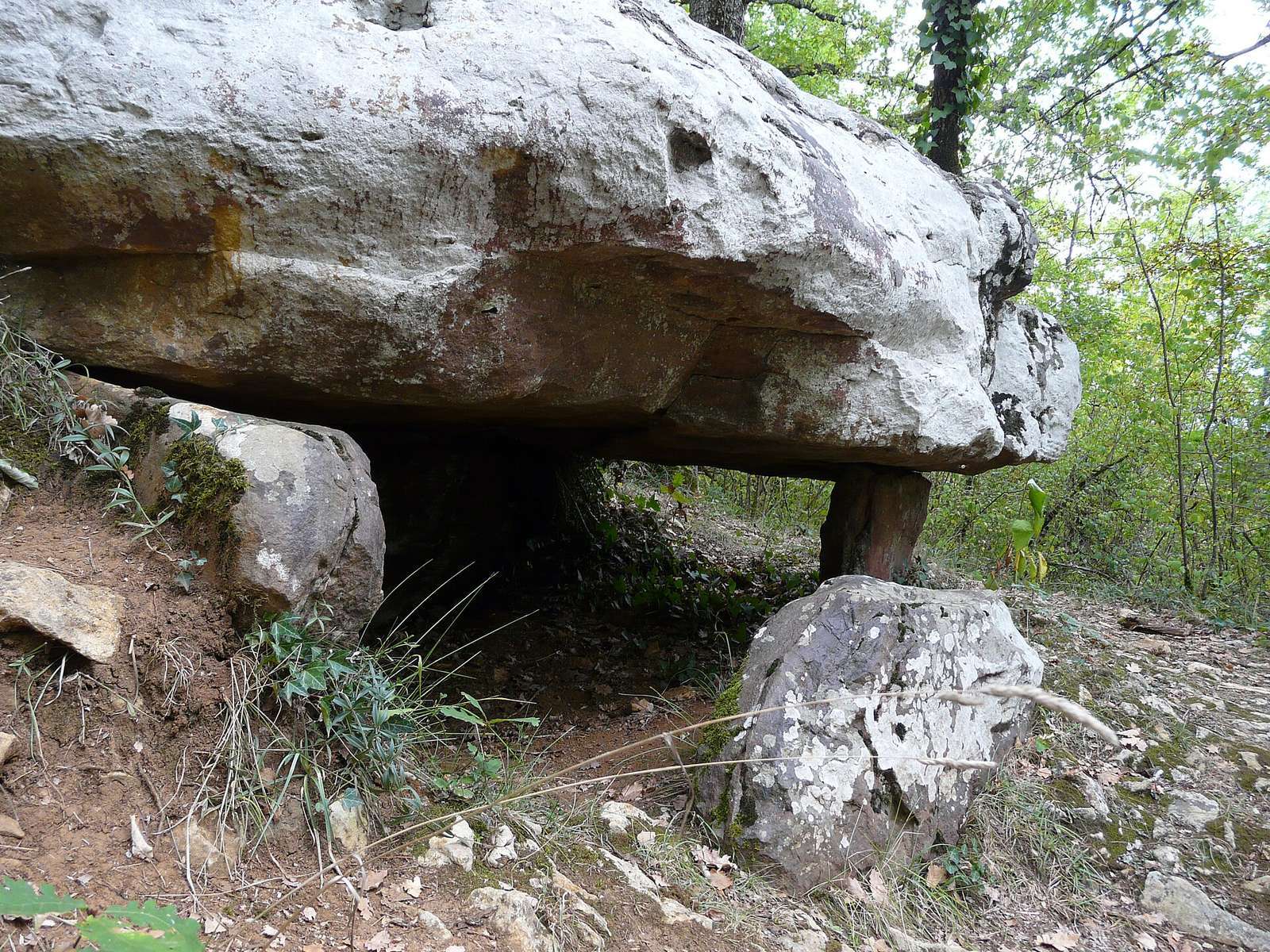
Set among woodland near a farm of the same name and the Dordogne River, the dolmen lies beside the west side of the road between Saint-Chamassy and Bigaroque. Its main axis runs from north-northwest to south-southeast, and its entrance vestibule leads to a burial chamber that opens east. The monument is built from red sandstone slabs.
Physical remains
Chamber and supporting slabs
The burial chamber measures 2.34 metres long. Its width varies from 1.20 metres at the entrance to 1.52 metres at the middle and 1.29 metres at the rear. Five upright slabs form its supports. The two eastern supports stand at right angles to the northern slab, and the slabs extend only a few centimetres into the ground. The southern slab appears displaced: it sits at a different height from the others and does not line up with them.
Capstone and western slab
The oval capstone is 3.50 metres long at its greatest point and 2.50 metres wide. It is nearly a metre thick and curves strongly at the rear. Two upright stones no longer bear its weight. Road construction probably removed some original slabs and shifted others to keep the capstone from collapsing. The one surviving western slab has straight grooves as deep as 1.50 centimetres. It may once have been used to polish stone tools.
Excavated remains
Gouzot’s excavations reached the bedrock and recovered an almost complete skeleton, missing its head, along with a flat flint blade. Rivière later found a flint flake during a limited excavation that did not reach the lower layer.