Château d’Ochsenstein: A Medieval Rock Castle in France
Site at a Glance
- Rating
- 4.5
- Popularity
- Low
- Country
- France
- Primary era
- Medieval
- Eras represented
- Medieval
- Civilizations
- Holy Roman Empire
- Site type
- Military
- Remains
- Castle
On this page16 sections
History
Château d’Ochsenstein is a ruined medieval rock castle in France, near Reinhardsmunster, whose late twelfth-century construction formed part of a chain of fortifications linking the Alsace plain with Lorraine. It became the ancestral seat of the Ochsenstein family and the center of the lordship of Ochsenstein, which was carved from lands belonging to Marmoutier Abbey by the bishops of Metz.
Origins and the Ochsenstein lordship
The castle hill had been occupied in prehistoric times. The name Ochsenstein first appears in 1186 in connection with Otto I of Ochsenstein, the son of Otto of Geroldseck. This reference indicates that a castle already stood on the hill and may point to construction by the Geroldseck family. A further record from 1187 names Burchard of Ochsenstein.
In 1217, Otto I divided his possessions among his sons. Otto II received the southern rock and Grand Ochsenstein, together with its mountain, nearby farms, and the service of the castle guards. Eberhard received a fortified house associated with the vassals of Wasselnheim, probably on the middle rock, while Conrad received Greifenstein. The arrangement shows that several castle units already existed on the Schlossberg.
The family expanded its political influence through its connection with the Habsburgs, a major European ruling dynasty whose members held the Roman-German kingship and imperial office. Otto II married Kunigunde of Habsburg, the sister of Rudolf of Habsburg. Their son Otto III became Rudolf’s close ally, accompanied him on military campaigns, and was appointed Landvogt of Alsace and Breisgau. A Landvogt was a high territorial governor or bailiff acting for a sovereign.
Conflict and political prominence
By the early fourteenth century, Ochsenstein Castle stood at the center of a large lordship that included territories such as Marlenheim and Barr. The lords later maintained residences away from the castle, while the complex was increasingly occupied by Burgmänner, resident military retainers responsible for guarding and maintaining a castle.
In 1284, forces connected with the bishop of Strasbourg and the Ochsensteins’ political opponents attacked the castle. One section was captured and destroyed, probably by fire. The damaged area was most likely Klein-Ochsenstein, perhaps together with the northern section, and the destroyed buildings were later rebuilt.
The family repeatedly used the castle as security for loans and gradually opened or transferred parts of it to other lords. This process accelerated during the fourteenth and fifteenth centuries as the Ochsensteins lost political influence and came under the protection of the electors of the Palatinate. In 1382, Strasbourg forces besieged, captured, and partly demolished Klein-Ochsenstein during a conflict with Rudolph II of Ochsenstein. The castle was rebuilt by 1393, when a castle peace agreement was concluded, and in 1403 it was still described as consisting of three castles.
Division of ownership
During the early fifteenth century, ownership and rights were divided among the Ochsensteins, the margraves of Baden, the bishops of Strasbourg and Metz, and other lords. In 1411, Friedrich of Ochsenstein ceded half of the castle to Margrave Bernhard I of Baden. Friedrich died without an heir, and his brother Volmar inherited the estate before recognizing further rights held by the margrave and his sons. Volmar also ceded half of the castle to Bishop Wilhelm II of Diest to support the ecclesiastical career of his brother Jean.
After Volmar’s death in 1426, the estate passed to his son Georg, the last male member of the Ochsenstein family. Georg died in 1485, and the inheritance passed through his sister Kunigunde, the wife of Heinrich of Zweibrücken-Bitsch, to the Zweibrücken-Bitsch family.
Sixteenth-century destruction and abandonment
The financially troubled Zweibrücken-Bitsch family mortgaged the castle to Ulrich of Rathsamhausen in 1527 for 2,800 florins. Ulrich undertook building work through 1553, replacing an old tower, renewing the gate complex, and repairing the stables. The castle later passed through Anne of Rathsamhausen and her husband, Sebastian of Landsberg, before Jacques of Zweibrücken-Bitsch redeemed the mortgage.
Jacques began further renovation after 1555 and received the allegiance of the lordship’s subjects in 1559. The work probably included adaptations for firearms, but a fire in the winter of 1559 destroyed the complex while Jacques was preparing to live there. The castle was not rebuilt and remained a ruin.
In 1570, the ruined castle and lordship passed to the counts of Hanau-Lichtenberg and were assigned to the Amt of Westhofen, a territorial administrative district. Swedish troops completely destroyed the remaining castle in 1632 during the Thirty Years’ War, a seventeenth-century conflict that brought military devastation to much of central Europe.
Later history and protection
During the eighteenth century, the ruins became a source of building stone. Some of this material was used for a nearby hunting lodge at Haberacker, which later collapsed. After the death of the last count of Hanau, Johann Reinhard III, the inheritance passed in 1736 to Ludwig IX of Hesse-Darmstadt, and the ruined castle ceased to be treated as part of the Westhofen administrative district. The French Revolution later brought the former administrative territory into France.
Restoration work on the surviving ruins has taken place several times since the 1890s. The site received France’s monument historique designation, a formal protected status for historic monuments and sites, on 6 December 1898. The ruins are currently owned by the French state.
Remains
Setting and three-rock layout
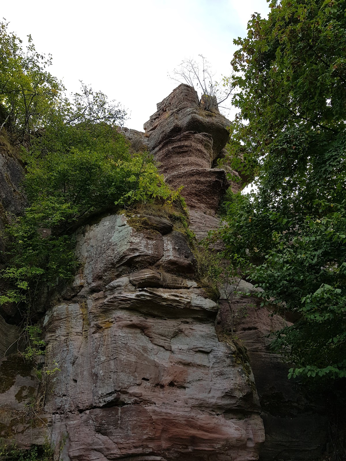
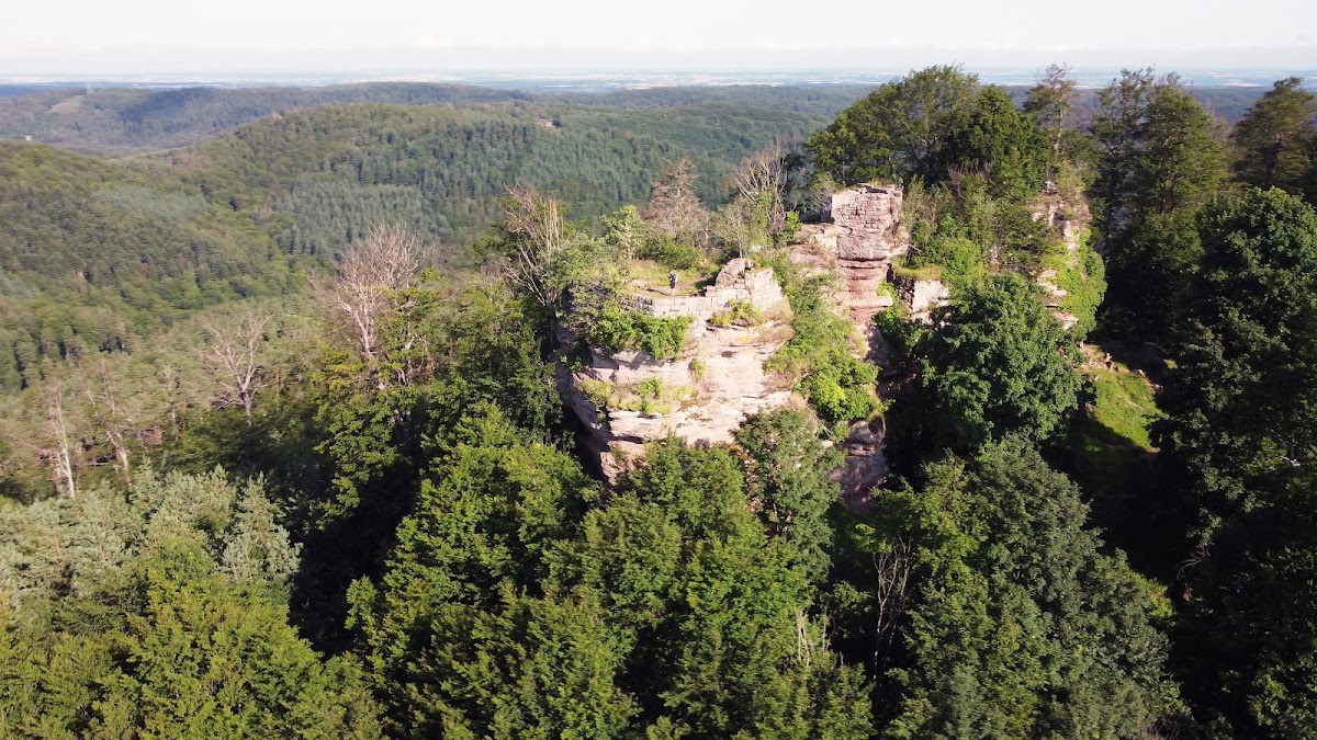
The complex occupies three adjoining red sandstone rocks at the southern end of the 584-metre Schlossberg. The rocks run north to south from a broader rock platform and are separated by several tens of metres. Grand Ochsenstein stands on the southern rock, Petit Ochsenstein on the middle rock, and a northern castle generally identified as Wachelheim occupies the northern rock.
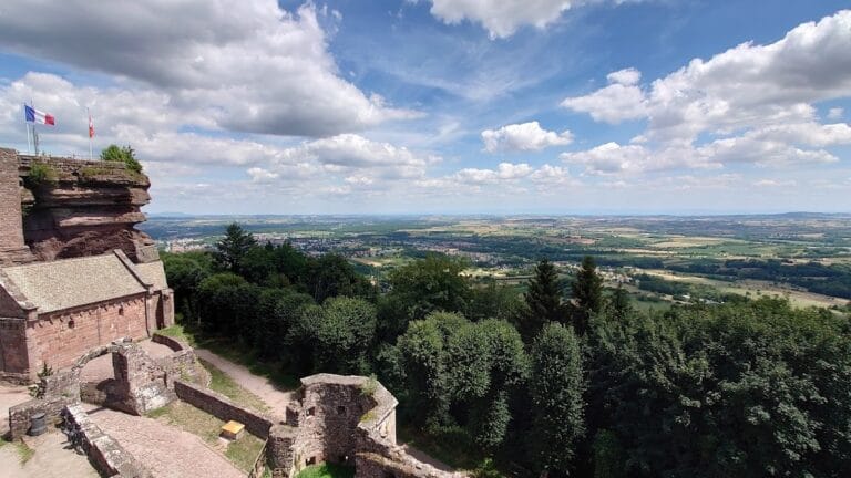
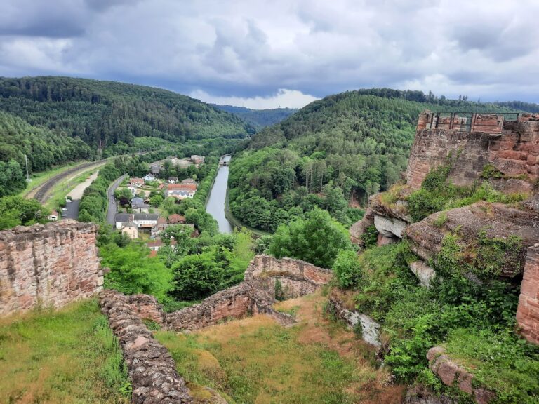
Steep slopes surround the site except on the north, where the summit plateau is level. The castle overlooks the Alsatian and Lorraine plains and stands above an old route running from the Alsace plain and Reinhardsmunster through the Mosselthal and Baerenbach valleys toward Stambach, Lutzelbourg, and Phalsbourg. Each castle unit had a lower outer ward, the defended lower enclosure separate from the principal residential or keep area. The middle rock is inaccessible today, while stairs cut into the sandstone reach the southern and northern rocks. An iron ladder leads to the lowest step on the northern rock.
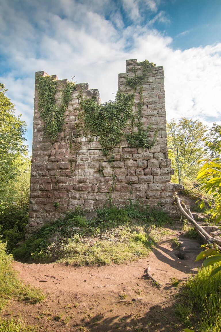
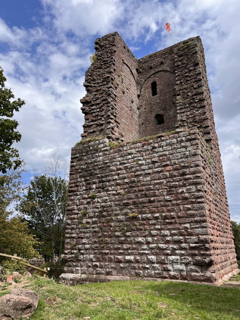
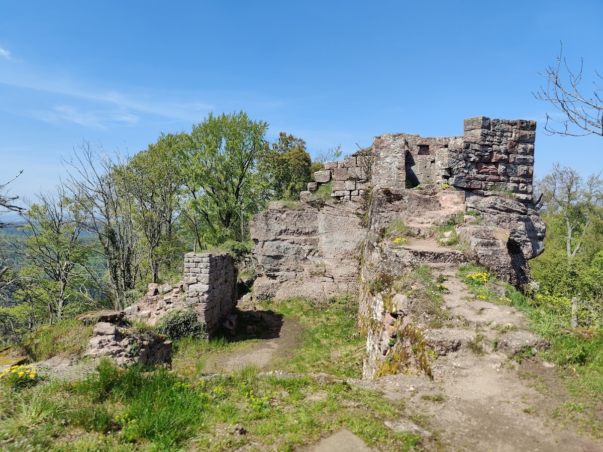
The surviving masonry is mainly red sandstone from the hill itself, used as bossed or roughly dressed ashlar. Bossed ashlar consists of blocks whose outer faces project in a rough, cushion-like form. No unequivocal pre-1200 masonry has been identified, so the structures mentioned in the 1180s may have been wooden before stone buildings replaced them. Building evidence indicates that all three rocks were newly developed in the thirteenth century.
Grand Ochsenstein
Upper castle buildings
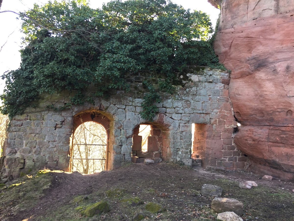
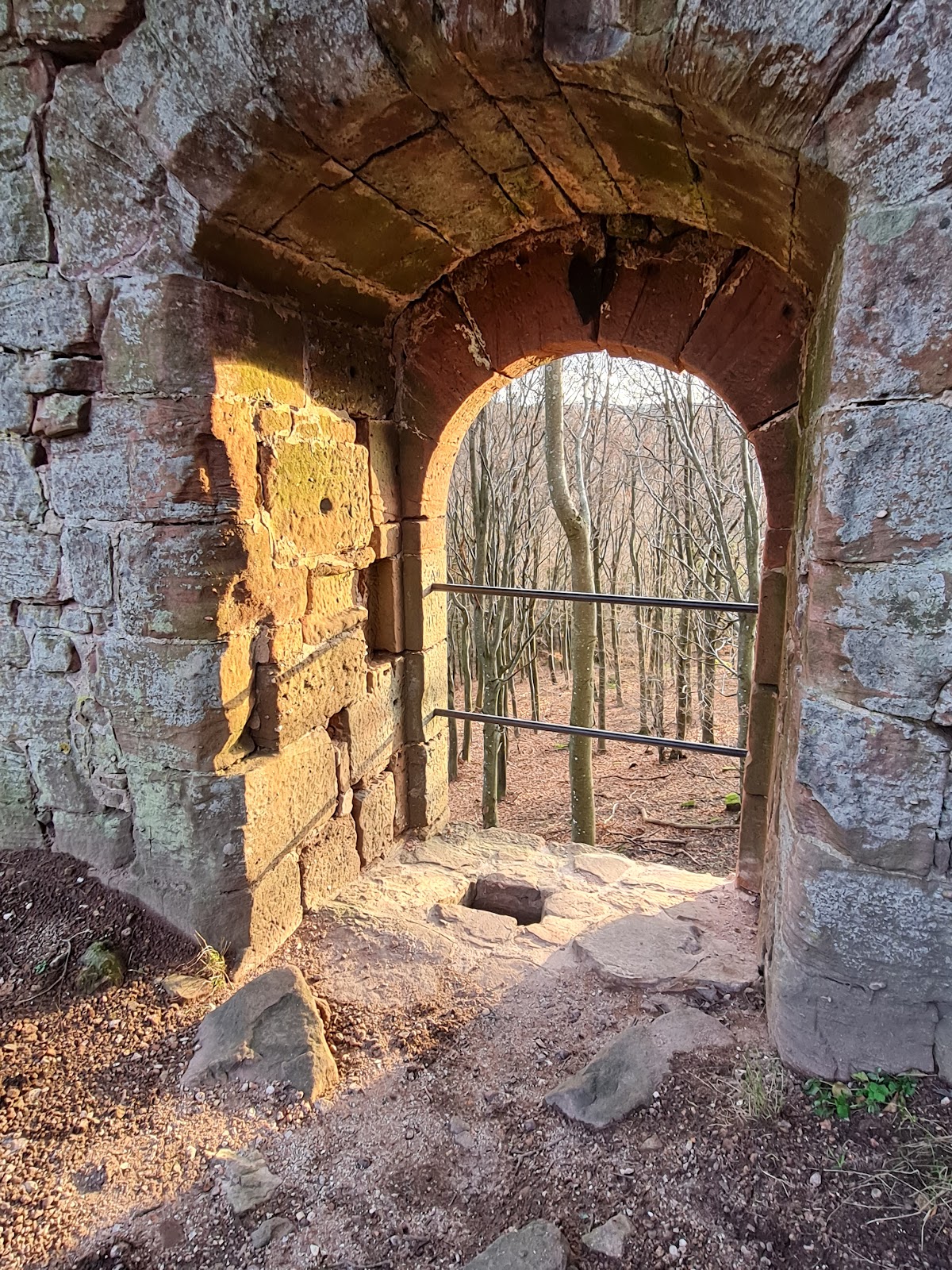
Grand Ochsenstein preserves the most substantial remains. Its plan follows the southern rock for about 50 metres. The present eastern approach uses a stairway installed between 1893 and 1904 and enters a former guardroom that probably also served as the medieval entrance.
The guardroom formed part of a long building arranged as a sequence of rooms. A kitchen stood to its north and is identified by a surviving drain stone. The kitchen also included a pantry cut into the rock and used as a cellar. The so-called North Building extended beyond the kitchen, while the South Building occupied the area south of the guardroom.
Chapel and residential building
A small chapel stood west of the South Building at the highest point of the rock. Its surviving remains form a pentagonal plan, about 3.20 metres deep and 4.80 metres wide at the greatest point. The eastern side ended in a polygonal form with two partly preserved windows. The entrance was placed at the southwest corner, and a masonry ledge served as the altar. A low rib vault covered the chapel, with its keystone about three metres above the floor.
A polygonal residential building occupied the southern tip of Grand Ochsenstein. Its walls were made of bossed ashlar, and an oval filtration cistern survives inside it in comparatively good condition. Such a cistern collected and filtered rainwater before directing it through a shaft into the central castle well. The original number of stories cannot be established because little of the upper masonry remains.
Keep and outer ward
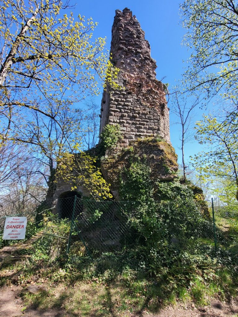
The northern end of Grand Ochsenstein contains the ruin of a square keep with a trapezoidal plan. Its pointed side faced north toward Petit Ochsenstein. The surviving outer walls, built of bossed ashlar, are about two metres thick and only three metres high, leaving the original height unknown.
The large outer ward lay about nine metres below the upper castle. Scattered wall fragments and rubble banks survive. A section of the southern curtain wall includes a round-arched sally port above a bossed-ashlar base. Nearby are the remains of a projecting latrine and a parapet with a keyhole-shaped loop.
A semicircular shell tower survives near the center of the long eastern curtain wall. A shell tower has a curved outer wall and little or no solid interior mass, allowing it to reinforce a curtain wall with less masonry. The tower is built of dressed ashlar. Fragmentary remains show that buildings once extended along the inner side of the eastern wall to a depth of about 9.50 metres.
The southern parts of the outer ward were probably built with, or soon after, the main castle. They were enlarged toward about 1300, and further expansion may have continued into the sixteenth century. A ditch along the northern side of Grand Ochsenstein separated it from the middle rock, about 30 metres away.
Petit Ochsenstein and the northern rock
Petit Ochsenstein
Petit Ochsenstein occupies the middle rock, whose platform measures only about 15 to 20 metres in length. A single building filled the available space and followed the edges of the rock. The name Petit Ochsenstein was used from 1454. On the east, a twelve-course-high section of bossed-ashlar wall survives, with further fragments on the west. The shape of the former entrance lintel suggests that the building may date from the second half of the twelfth century.
Only slight remains survive from Petit Ochsenstein’s outer ward. A cistern has been identified at the foot of the middle rock. The northern rock lies another 30 metres beyond it, and no surviving boundary separates the two rocks. They may have formed one castle or may represent two small units that later merged, but the interpretation remains uncertain.
Northern castle
The northern castle is generally identified as Wachelheim, although that name resulted from a misreading of the 1217 inheritance document. The form written there, Wazelheim, was an old spelling of Wasselnheim. The northern building was polygonal and followed the shape of the rock. Only slight remains of its outer wall survive, while its entrance stood about eight metres above ground level.
A passage about ten metres above ground led to a stairway cut into the sandstone and provided access to the northern rock. Bossed masonry remains at the summit. The outer ward at the foot of the rock, on its eastern and southern sides, survives only in fragments.
Associated economic site
The Haberacker Forest House stands about 500 metres south of the ruins and roughly 476 metres above sea level. It is securely documented from 1567 and was probably a service or economic farm belonging to the castle.