Sanilac Petroglyphs Historic State Park: A Native American Rock-Carving Site in Michigan
Site at a Glance
- Popularity
- High
- Country
- United States
- Primary era
- Medieval
- Eras represented
- Medieval, Early Modern, Modern
- Civilizations
- Unclassified
- Site type
- Civic
- Remains
- Rock Art
On this page9 sections
History
Sanilac Petroglyphs Historic State Park is an archaeological and cultural site in Greenleaf Township, Michigan, United States, centered on Native American carvings in sandstone. The images were likely carved between about 300 and 1,400 years ago and convey aspects of Great Lakes Native peoples’ religious and cultural knowledge.
Indigenous use and the carvings
Stone tools and pottery from the park indicate that different tribal groups occupied the area periodically over roughly 8,000 years. The carvings represent a later part of this long history of Indigenous use.
Discovery and study
Settlers discovered the carvings after a major forest fire burned much of Michigan’s Thumb region in 1881. Archaeologists have studied the site since the 1920s. In 1940, Darrel J. Richards and Carl Holmquist of Detroit’s Aboriginal Research Club recorded the images in drawings and casts. Cranbrook Institute of Science later worked with the University of Michigan’s Museum of Anthropology and the Michigan Department of Natural Resources to prepare the site’s first preservation plan.
State protection and co-management
The Michigan Archaeological Society bought 240 acres surrounding the carvings from two owners in 1966 and transferred the land to the state in 1971. The park was established that year and added to the National Register of Historic Places on January 25. It is also a Michigan State Historic Site.
In 2018, Michigan Department of Transportation specialists used laser-based lidar mapping and detailed photographs to capture the site with millimeter-range accuracy, collecting about three billion data points. The resulting digital models can help track changes over time. On December 2, 2019, the Michigan Department of Natural Resources and the Saginaw Chippewa Nation agreed to co-manage the park, the first state-tribal co-management arrangement for a Michigan state park.
Remains
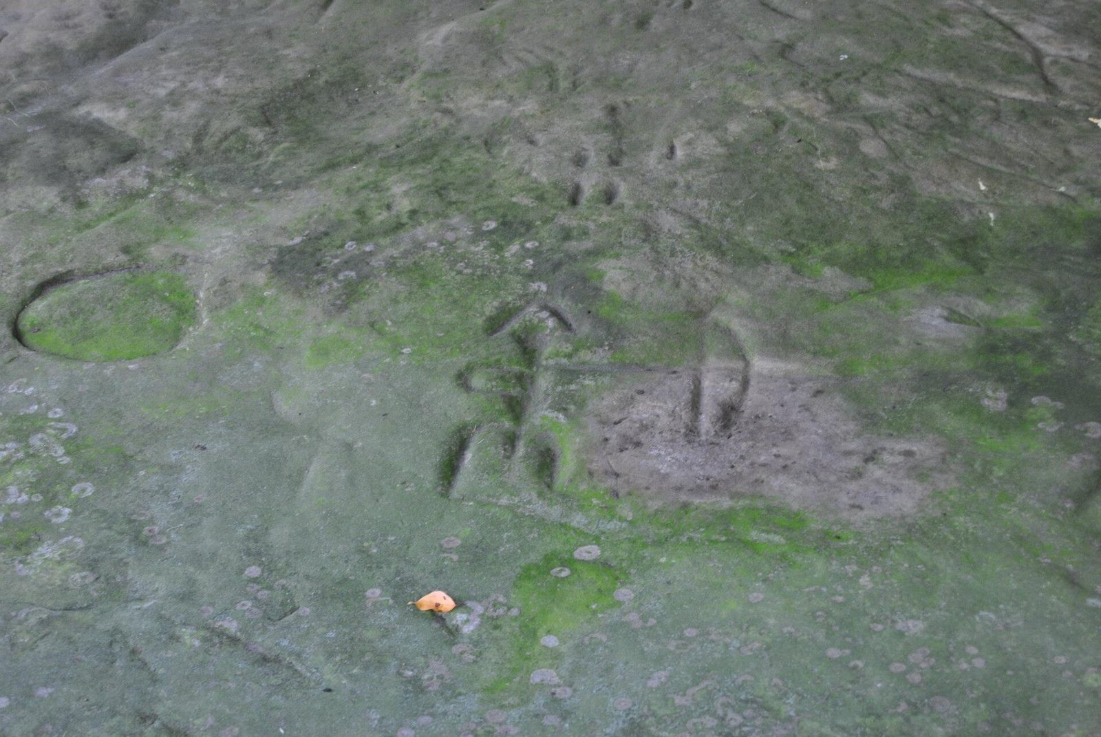
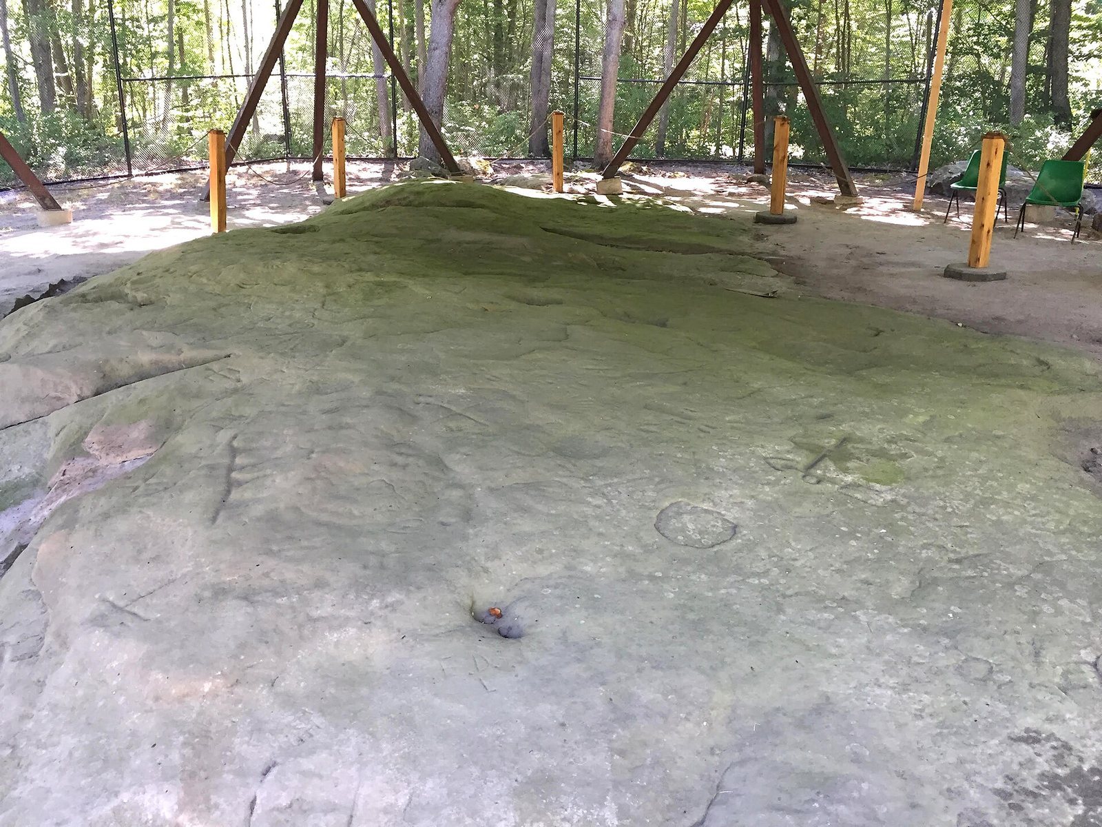
The park’s main archaeological feature is a sandstone outcrop of about 1,000 square feet, bearing around 165 carved images. The outcrop lies within a landscape that includes Cass River floodplain forest and exposed Marshall Sandstone. A 1.5-mile trail loop passes through the forest, crosses the river twice, and follows it nearby.
Sandstone outcrop
Carvings and meanings
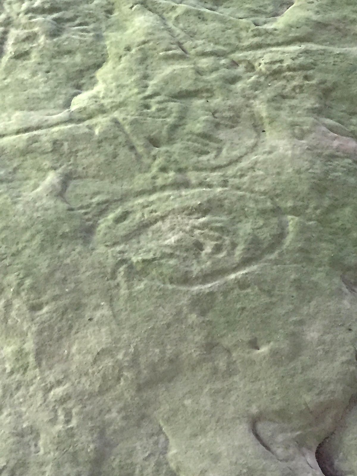
The carved forms include swirls, lines, handprints, and figures of living beings. Among them is Ebmodaakowet, an archer who sends knowledge into the future. Migizi Inini, or Eagle Man, looks east toward the new day and flies over people to encourage them to follow traditions and teachings. Mishibizhew, the water panther, protects the waters of the Great Lakes.
Condition and protection
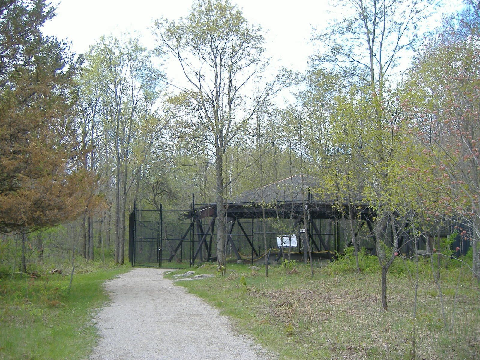
The sandstone is fragile and exposed to natural weathering. Gaps in its surface mark places where carved symbols were removed. Before the 1920s, someone took an entire symbol along with the surrounding rock as a keepsake; in 2017, unknown individuals carved three more images into the stone. People have also walked on the sandstone and marked it with graffiti. Weathering and human damage have made the carvings harder to see, and specialists have warned that they could disappear by the late 21st century. A wooden pavilion was erected in the mid-1990s, and a chain-link fence was placed around the petroglyph area to help protect it. Richards’s drawings of the carvings are now held by the Cranbrook Institute of Science in Bloomfield Hills.
Forest and logging landscape
The park also contains the site of a 19th-century logging camp. Signs along the trail interpret natural and historical features of the area.